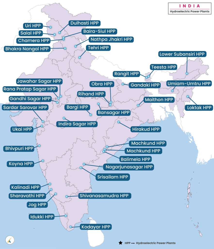
- All major lakes around the world
-
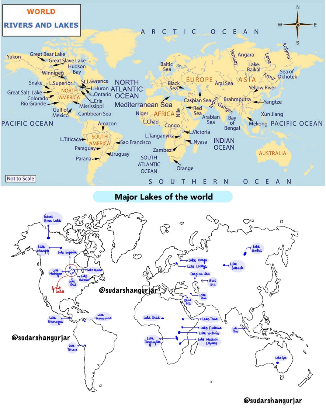
- All major rivers around the world
-
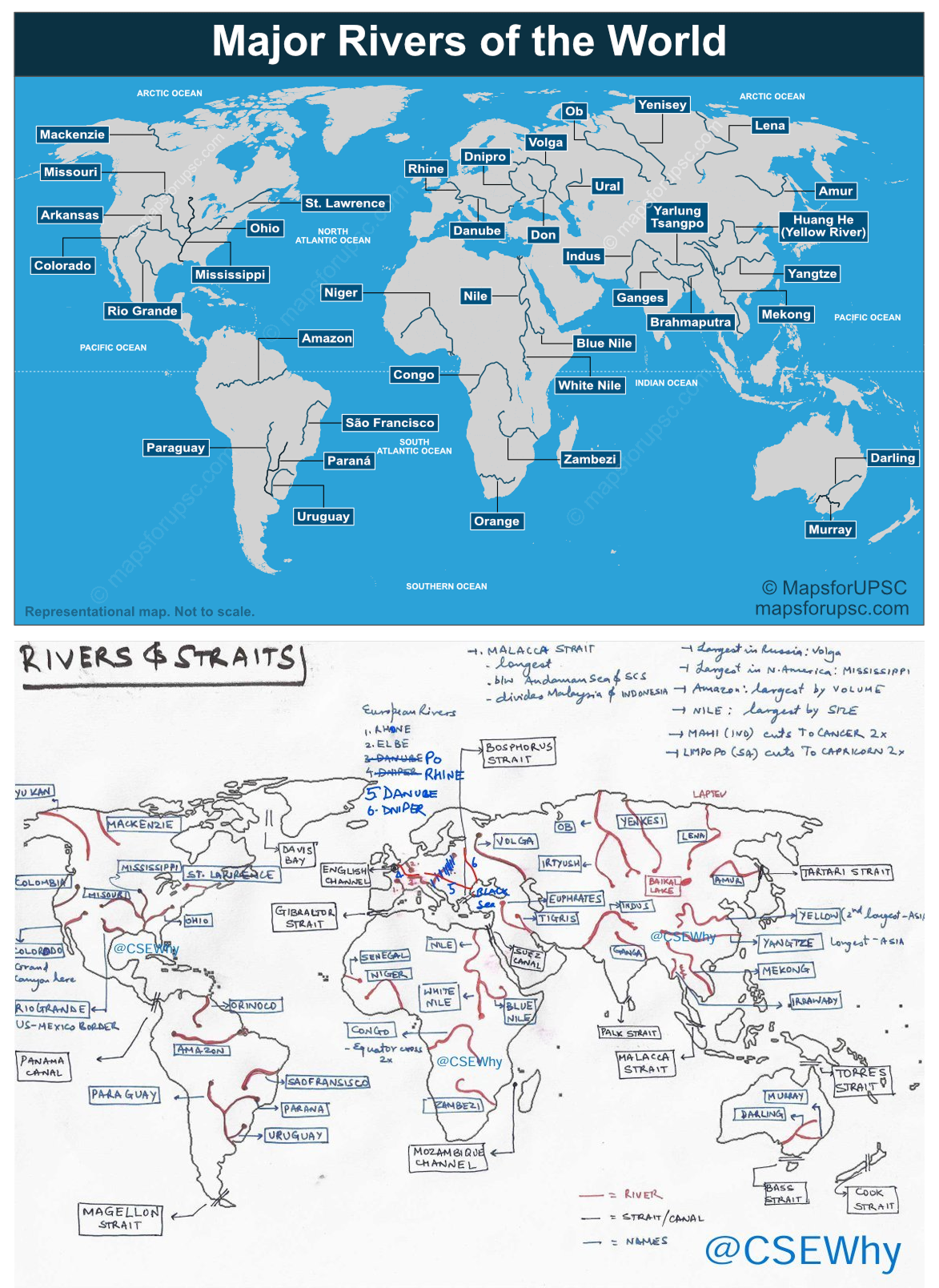
- Seas of the world
-
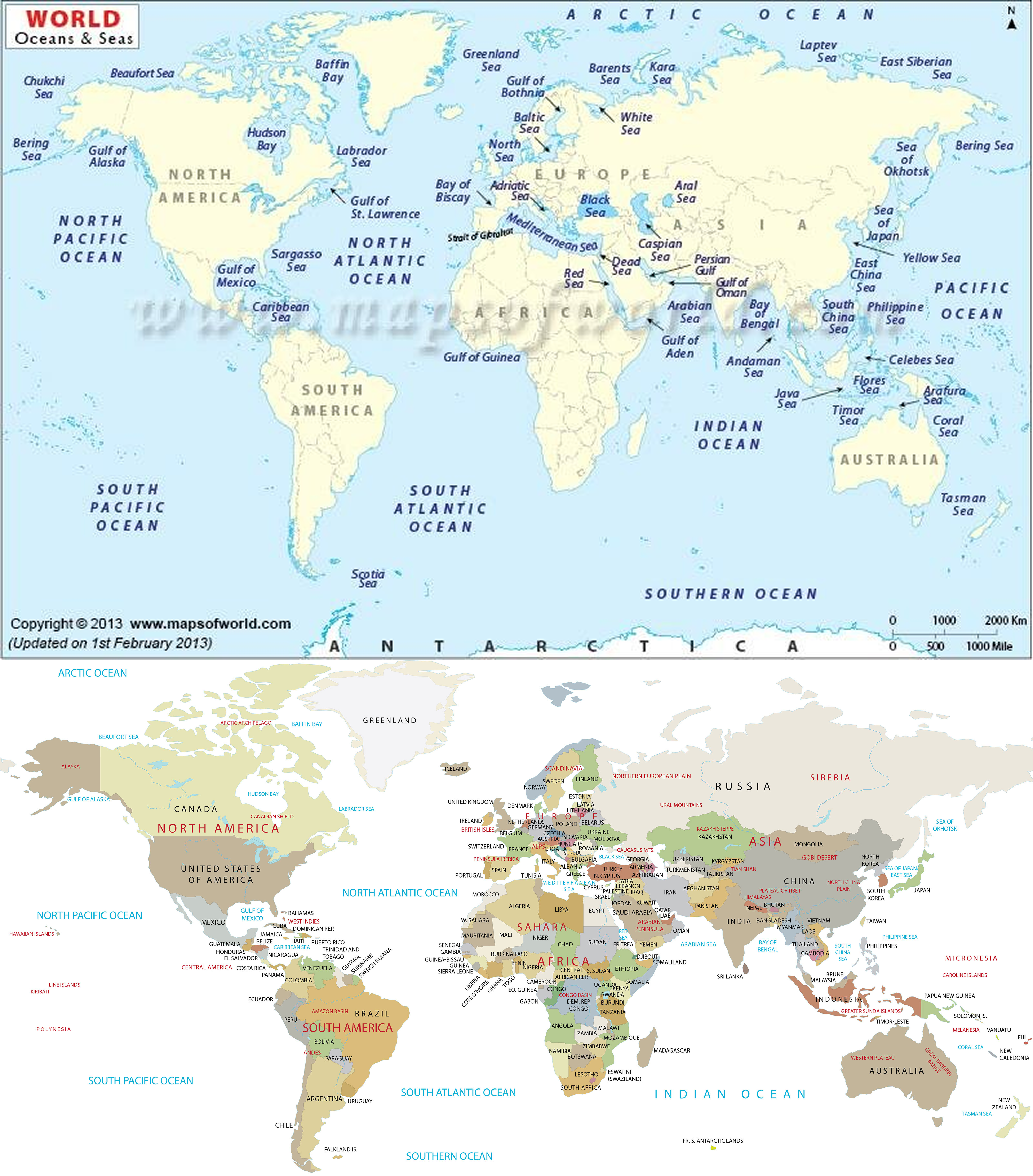
- World mappings
- Africa
-
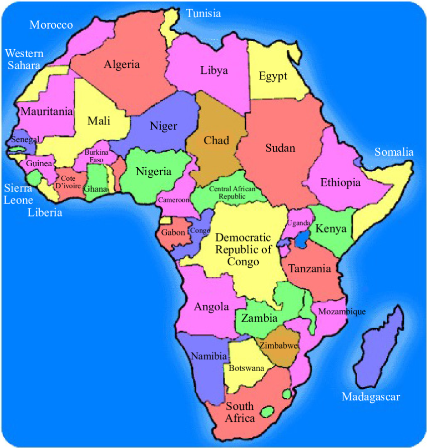
- Overview
- Africa, the second-largest continent, spans ~30.37 million km², with a population of ~1.4 billion (2023).
- It features diverse landscapes, from the Sahara Desert to the Congo Rainforest, shaped by ancient cratons, tectonic rifting, and equatorial climates.
- Sahara: World’s largest hot desert.
- Congo Rainforest: 2nd largest rainforest after Amazon.
- Countries (54 recognized sovereign states)
- Algeria
- Capital: Algiers
- Note: Largest country in Africa by area.
- Angola
- Capital: Luanda
- Benin
- Capital: Porto-Novo
- Botswana
- Capital: Gaborone
- Burkina Faso
- Capital: Ouagadougou
- Burundi
- Capital: Gitega
- Cameroon
- Capital: Yaoundé
- Cape Verde
- Capital: Praia
- Central African Republic
- Capital: Bangui
- Chad
- Capital: N’Djamena
- Comoros
- Capital: Moroni
- Democratic Republic of the Congo
- Capital: Kinshasa
- Note: Contains a large part of the Congo Basin Rainforest.
- Republic of the Congo
- Capital: Brazzaville
- Djibouti
- Capital: Djibouti
- Egypt
- Capital: Cairo
- Note: Nile Delta and part of the Nile River — world’s longest river.
- Equatorial Guinea
- Capital: Malabo
- Eritrea
- Capital: Asmara
- Eswatini
- Capital: Mbabane
- Ethiopia
- Capital: Addis Ababa
- Note: Located in Ethiopian Highlands, source of the Blue Nile.
- Gabon
- Capital: Libreville
- Gambia
- Capital: Banjul
- Ghana
- Capital: Accra
- Guinea
- Capital: Conakry
- Guinea-Bissau
- Capital: Bissau
- Ivory Coast
- Capital: Yamoussoukro
- Kenya
- Capital: Nairobi
- Lesotho
- Capital: Maseru
- Liberia
- Capital: Monrovia
- Libya
- Capital: Tripoli
- Madagascar
- Capital: Antananarivo
- Note: Largest island in Africa and 4th largest in the world.
- Malawi
- Capital: Lilongwe
- Mali
- Capital: Bamako
- Mauritania
- Capital: Nouakchott
- Mauritius
- Capital: Port Louis
- Morocco
- Capital: Rabat
- Mozambique
- Capital: Maputo
- Namibia
- Capital: Windhoek
- Niger
- Capital: Niamey
- Nigeria
- Capital: Abuja
- Note: Most populous country in Africa.
- Rwanda
- Capital: Kigali
- São Tomé and Príncipe
- Capital: São Tomé
- Senegal
- Capital: Dakar
- Seychelles
- Capital: Victoria
- Sierra Leone
- Capital: Freetown
- Somalia
- Capital: Mogadishu
- South Africa
- Capital: Pretoria
- South Sudan
- Capital: Juba
- Sudan
- Capital: Khartoum
- Tanzania
- Capital: Dodoma
- Togo
- Capital: Lomé
- Tunisia
- Capital: Tunis
- Uganda
- Capital: Kampala
- Zambia
- Capital: Lusaka
- Zimbabwe
- Capital: Harare
- Physiographic Divisions
- Africa’s landscape is divided into eight regions:
1. Sahara:
-
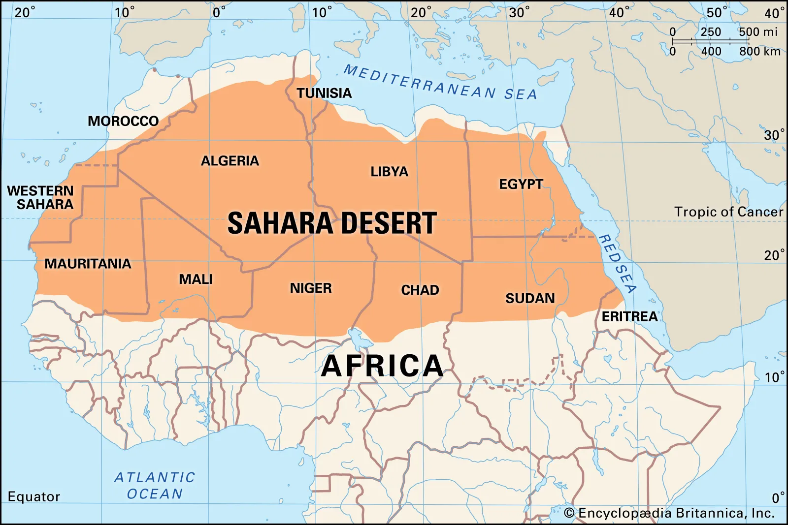
- Description:
- Largest hot desert in the world.
- Location:
- Northern Africa.
- Climate:
- Arid, extreme temperatures.
- Features:
- Sand dunes, rocky plateaus (hamadas), gravel plains (regs).
- Countries:
- Algeria, Egypt, Libya, Mauritania, Sudan, etc.
2. Sahel:
-
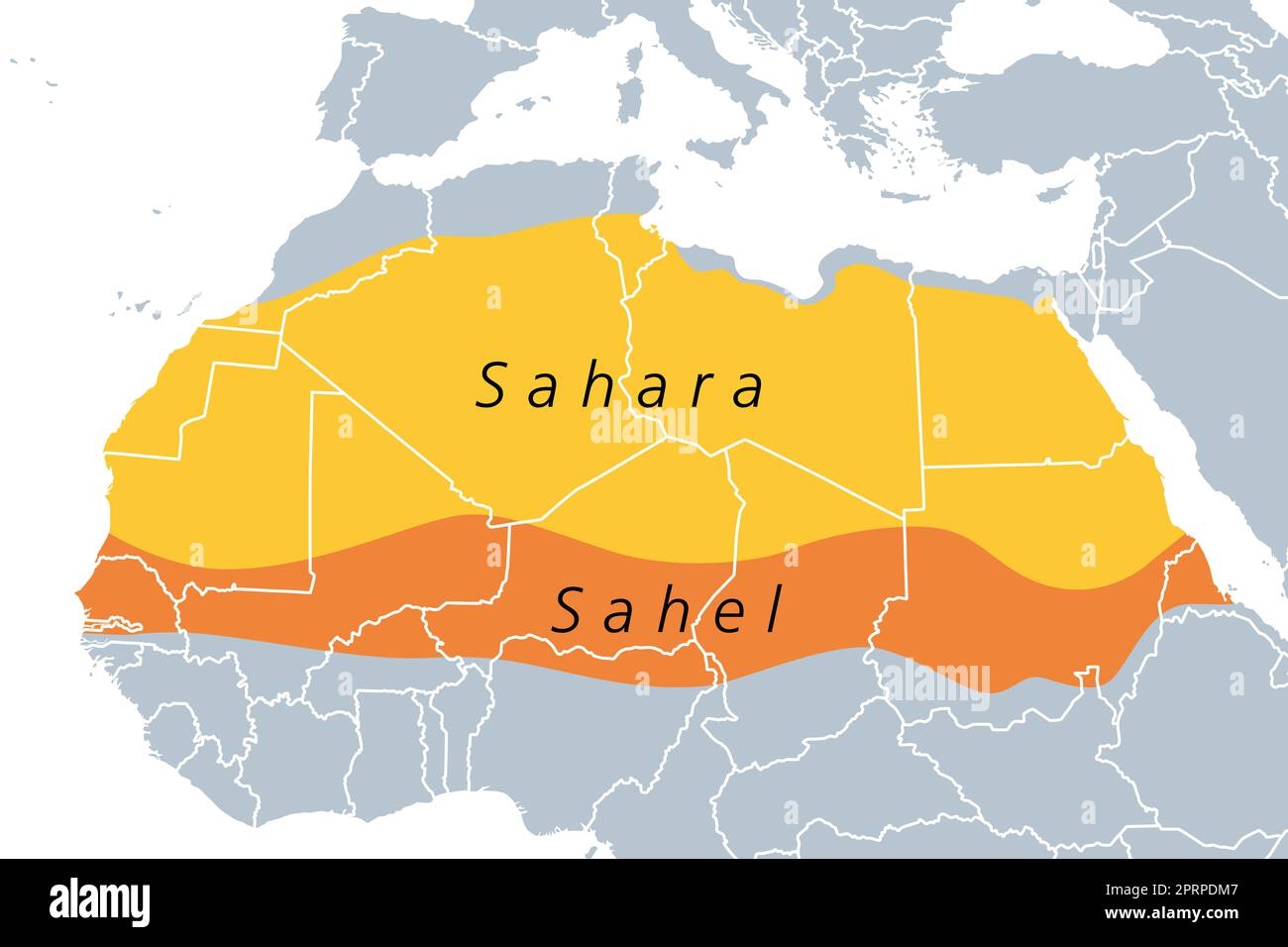
- Description:
- Semi-arid zone south of the Sahara; transition zone.
- Climate:
- Hot, with seasonal rainfall.
- Vegetation:
- Grasslands, sparse shrubs.
- Challenges:
- Desertification, overgrazing.
- Countries:
- Mali, Niger, Chad, Sudan, Burkina Faso, etc.
3. Ethiopian Highlands:
-
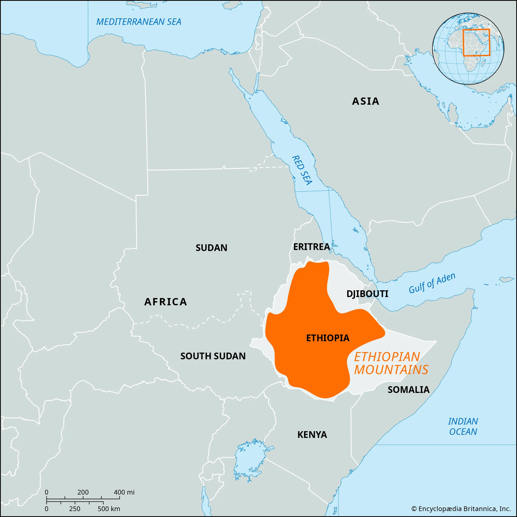
- Description:
- Rugged mountainous region; known as the “Roof of Africa”.
- Location:
- Mainly in Ethiopia and Eritrea.
- Climate:
- Cooler, highland type.
- Features:
- Volcanic mountains, plateaus.
- Significance:
- Source of the Blue Nile River.
4. Savanna:
-
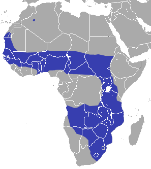
- Description:
- Grassland region with scattered trees.
- Climate:
- Tropical wet and dry (Aw in Köppen).
- Vegetation:
- Grasses, acacia trees.
- Wildlife:
- Lions, elephants, zebras, etc.
- Countries:
- Kenya, Tanzania, Nigeria, etc.
5. Swahili Coast:
-
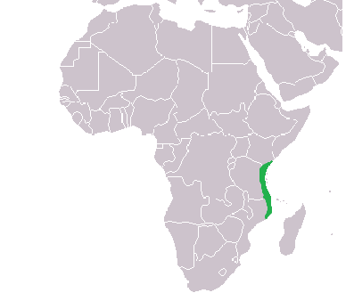
- Description:
- Narrow coastal strip along the eastern shore.
- Location:
- Along the Indian Ocean (Kenya to Mozambique).
- Climate:
- Tropical, humid.
- Features:
- Coral reefs, beaches, islands (e.g., Zanzibar).
- Significance:
- Historic trade region (Arab-African maritime links).
6. Rainforest:
-
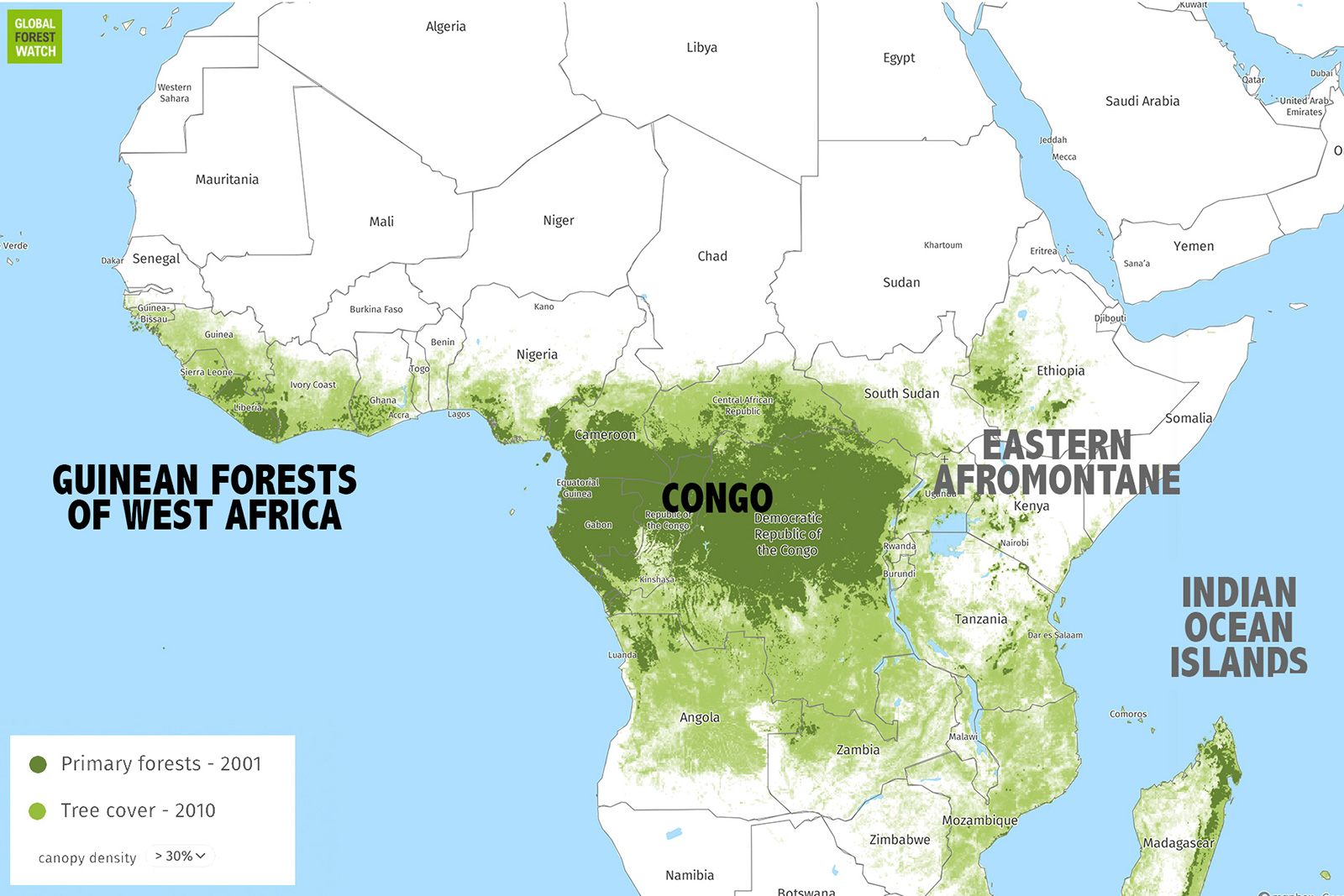
- Description:
- Dense tropical rainforest belt.
- Location:
- Central Africa (especially Congo Basin).
- Climate:
- Equatorial, hot and humid (Af in Köppen).
- Vegetation:
- Thick evergreen forests.
- Significance:
- 2nd largest rainforest after Amazon.
7. African Great Lakes:
-
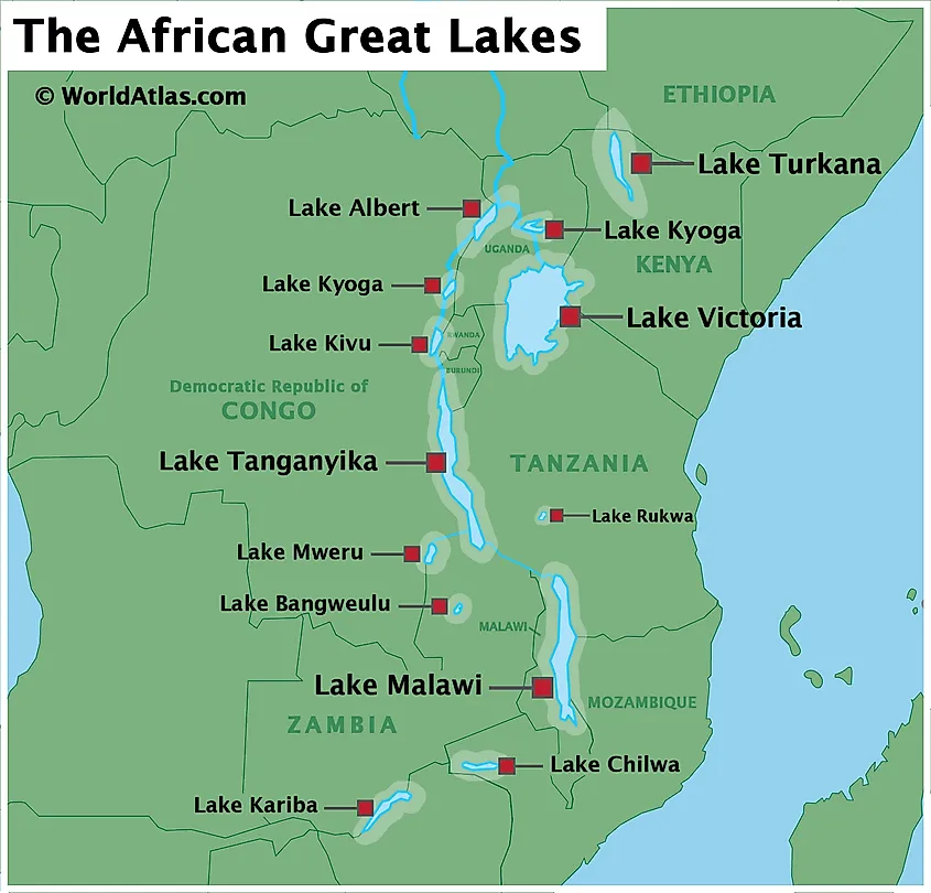
- Description:
- Series of large freshwater lakes in East Africa.
- Notable Lakes:
- Victoria, Tanganyika, Malawi.
- Features:
- Rift Valley lakes, deep basins.
- Biodiversity:
- High fish diversity (e.g., cichlids).
- Importance:
- Water resource, fishing, agriculture.
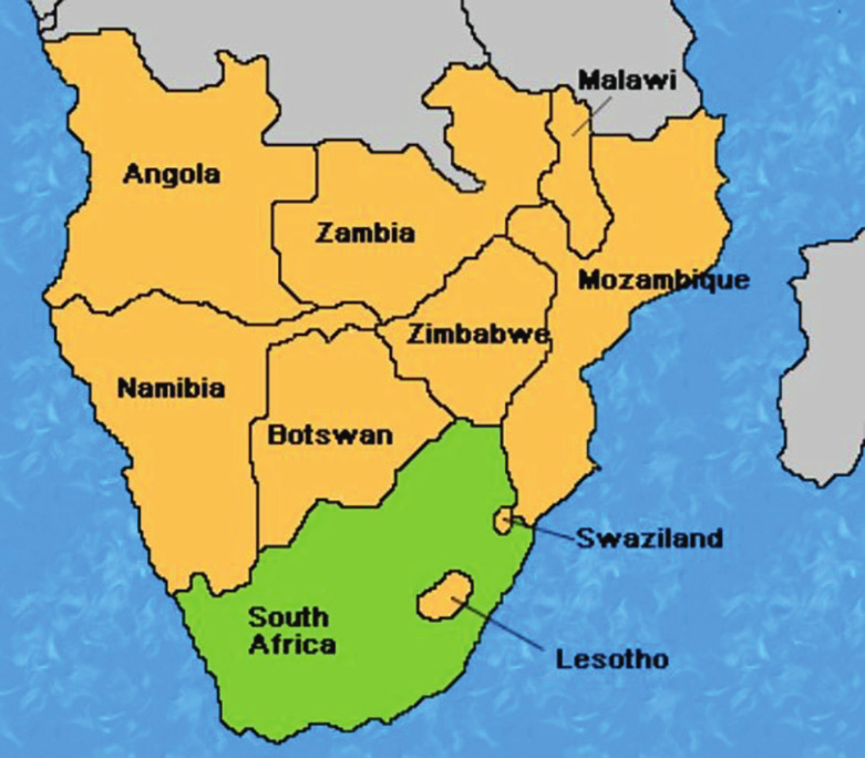
8. Southern Africa:
-
- Description:
- Varied landscape — plateaus, deserts (Kalahari, Namib), and highlands.
- Countries:
- South Africa, Namibia, Botswana, Zimbabwe, etc.
- Climate:
- Ranges from Mediterranean (SW tip) to desert.
- Features:
- Drakensberg Mountains, Okavango Delta.
- Formation:
- Ancient Precambrian cratons form stable plateaus and basins, while Cenozoic rifting created the East African Rift and volcanic highlands.
- Major Physical Features
- Mountain Ranges
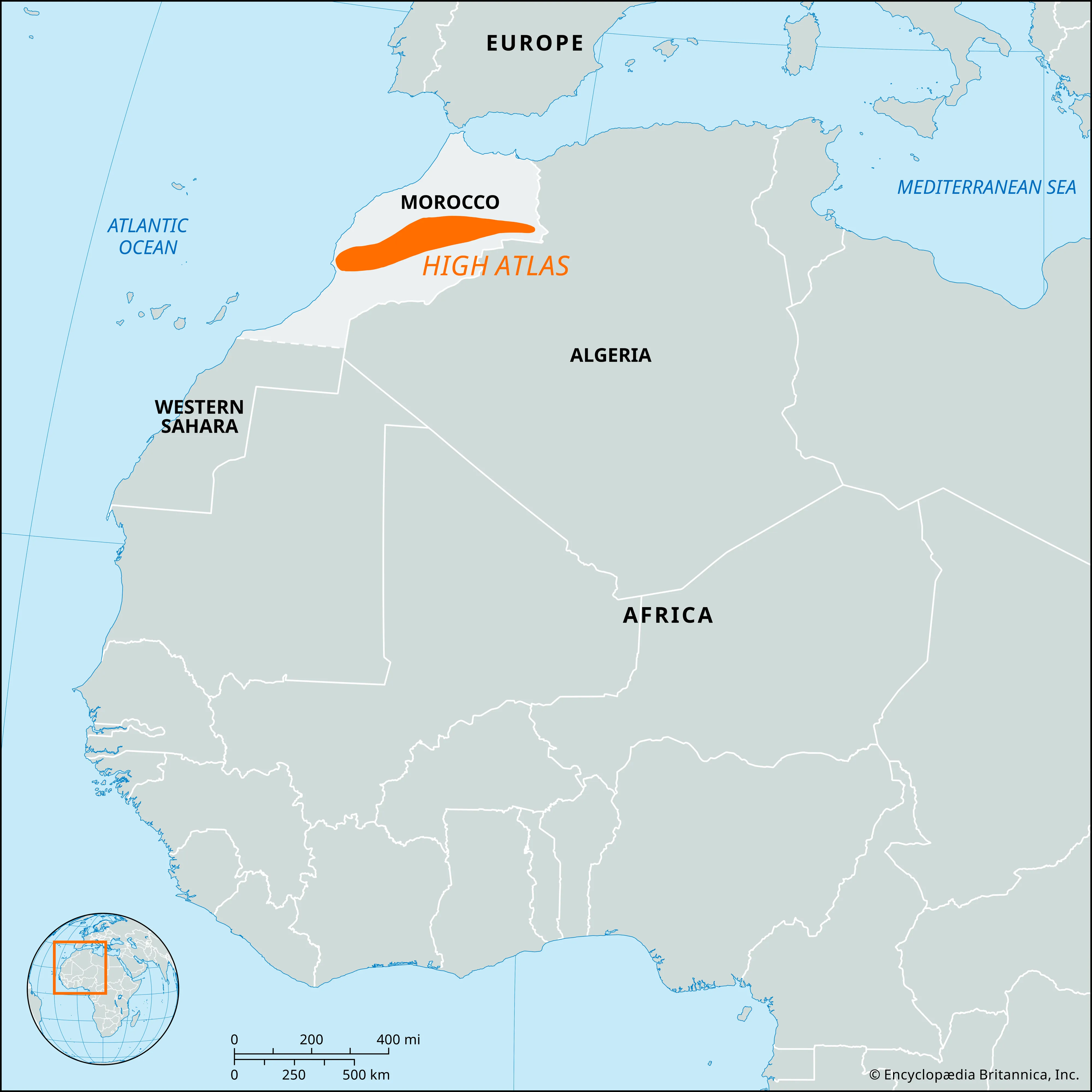
- Atlas Mountains (Morocco, Algeria, Tunisia):
-
- Description:
- Stretches ~2,500 km, peaks at 4,167 m (Toubkal).
- Formation:
- Collision of African and Eurasian plates during Cenozoic orogeny.
- Significance:
- Influences Mediterranean climate, supports agriculture.
- Ethiopian Highlands (Ethiopia):
-
- Description:
- “Roof of Africa,” up to 4,550 m (Ras Dashen).
- Formation:
- Volcanic uplift from East African Rift, 30–40 million years ago.
- Significance:
- Source of Nile tributaries, biodiversity hub.
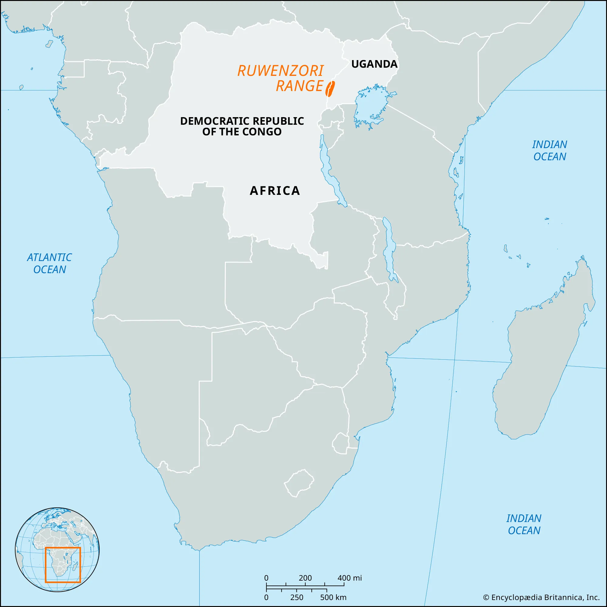
- Rwenzori Mountains (DRC-Uganda):
-
- Description:
- Peaks at 5,109 m (Margherita).
- Formation:
- Tectonic uplift along East African Rift, glacial shaping.
- Significance:
- UNESCO site, unique afro-alpine flora.
- Plateaus
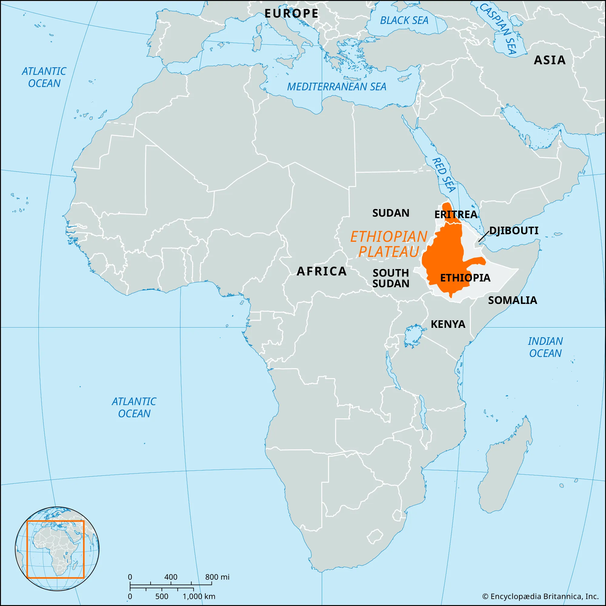
- Ethiopian Plateau (Ethiopia):
-
- Description:
- ~2,500 m elevation, supports agriculture.
- Formation:
- Mantle plume uplift during Rift Valley formation.
- Significance:
- Fertile for coffee, teff cultivation.
- Jos Plateau (Nigeria):
-
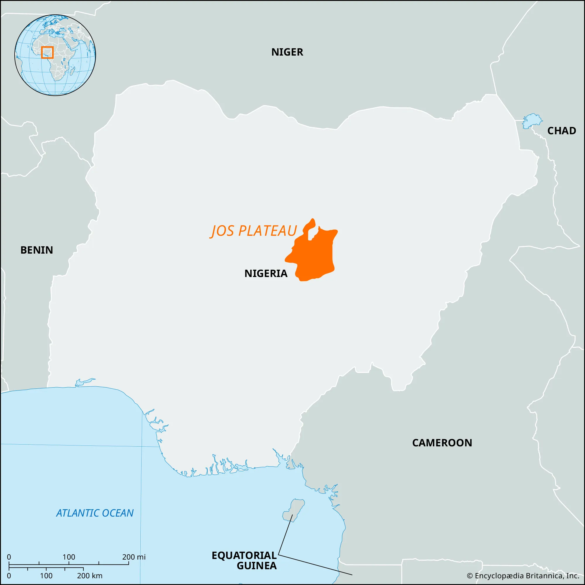
- Description:
- ~1,500 m, rich in tin.
- Formation:
- Volcanic activity and erosion of crystalline rocks.
- Significance:
- Mining hub, agricultural base.
- Fouta Djallon Plateau (Guinea):
-
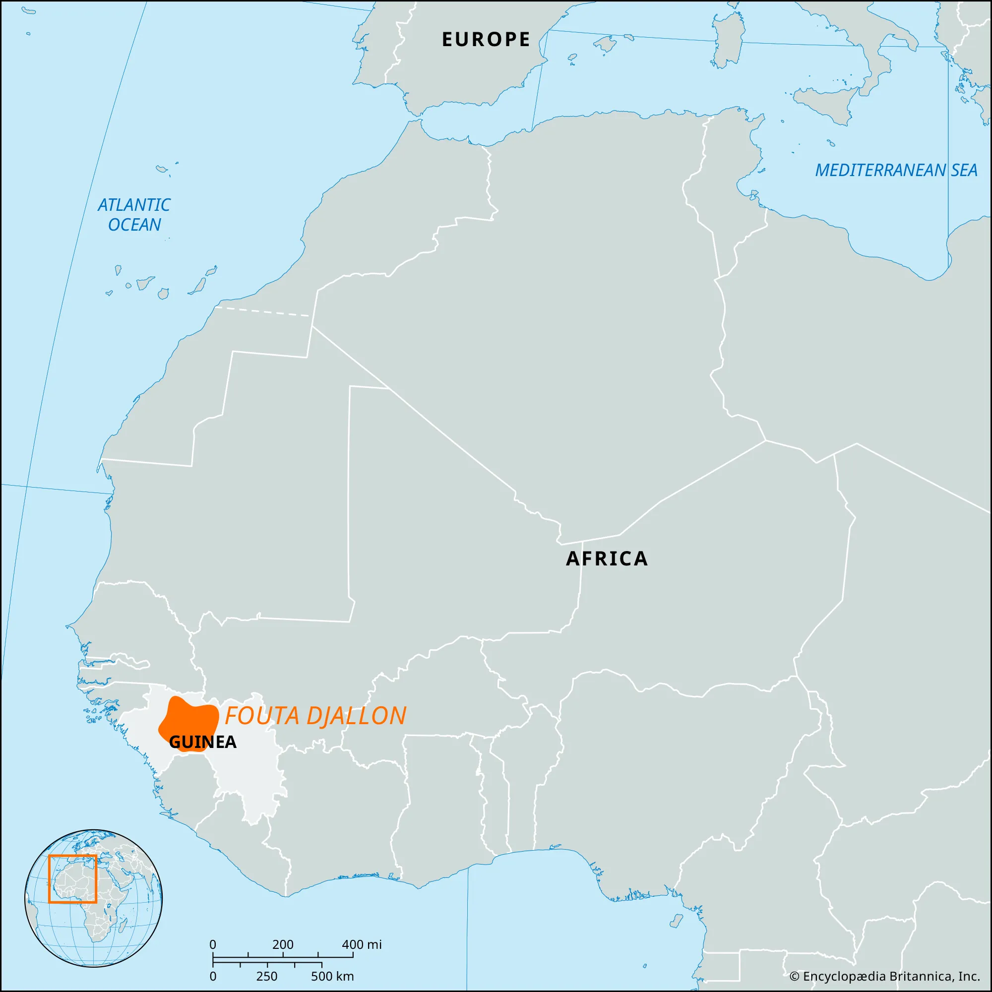
- Description:
- ~1,000 m, river source.
- Formation:
- Paleozoic orogeny, eroded to stable plateau.
- Significance:
- Headwaters of Niger, Senegal rivers.
- Plains
- Serengeti Plains (Tanzania, Kenya):
-
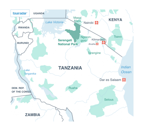
- Description:
- ~30,000 km², wildebeest migration hub.
- Formation:
- Rift valley sediment deposition, volcanic ash enrichment.
- Significance:
- Global biodiversity hotspot, tourism.
- Niger Delta (Nigeria):
-
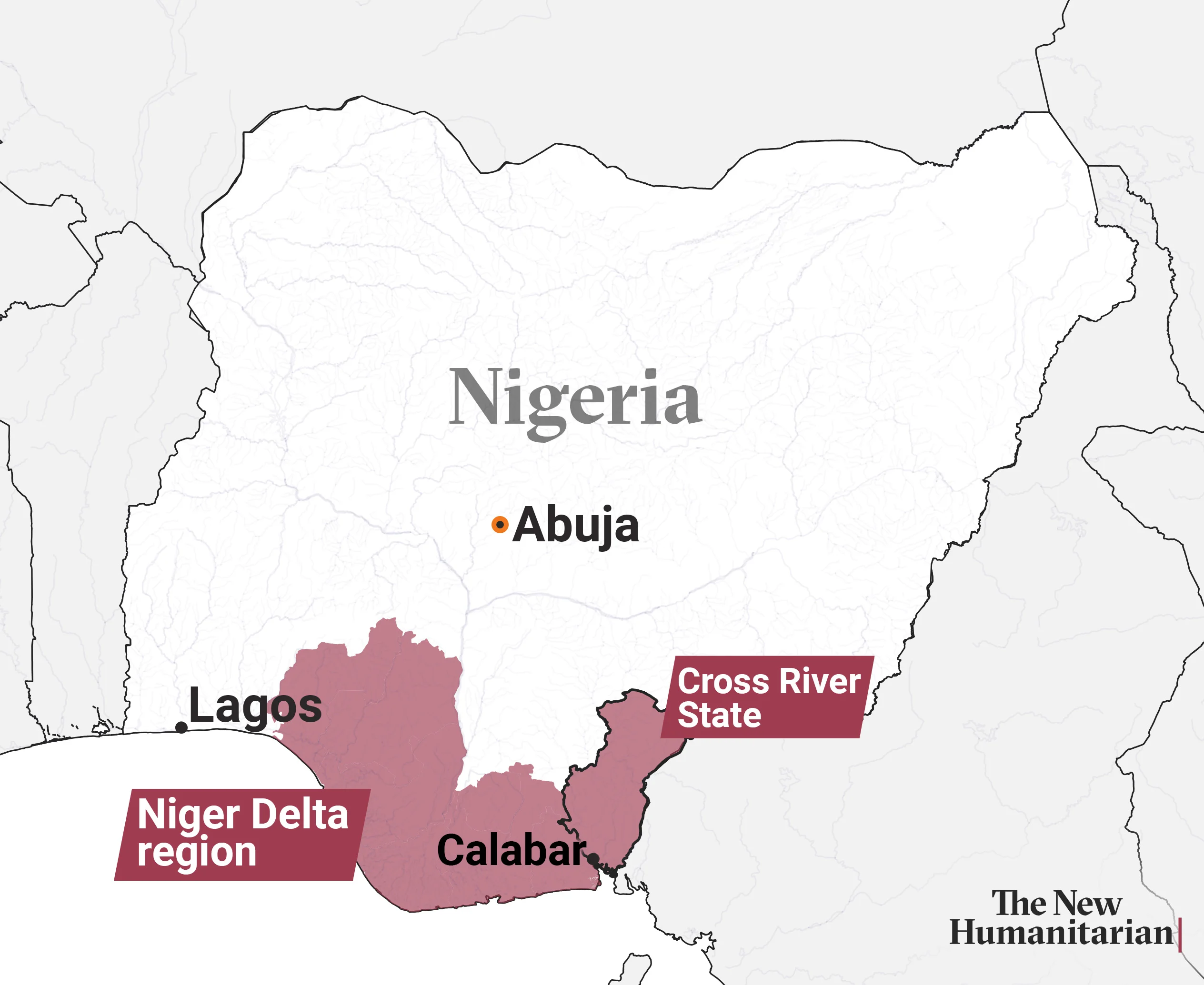
- Description:
- ~70,000 km², oil-rich.
- Formation:
- Alluvial deposition from Niger River.
- Significance:
- Economic hub, environmental challenges.
- Sudanian Savanna (Sahel):
-
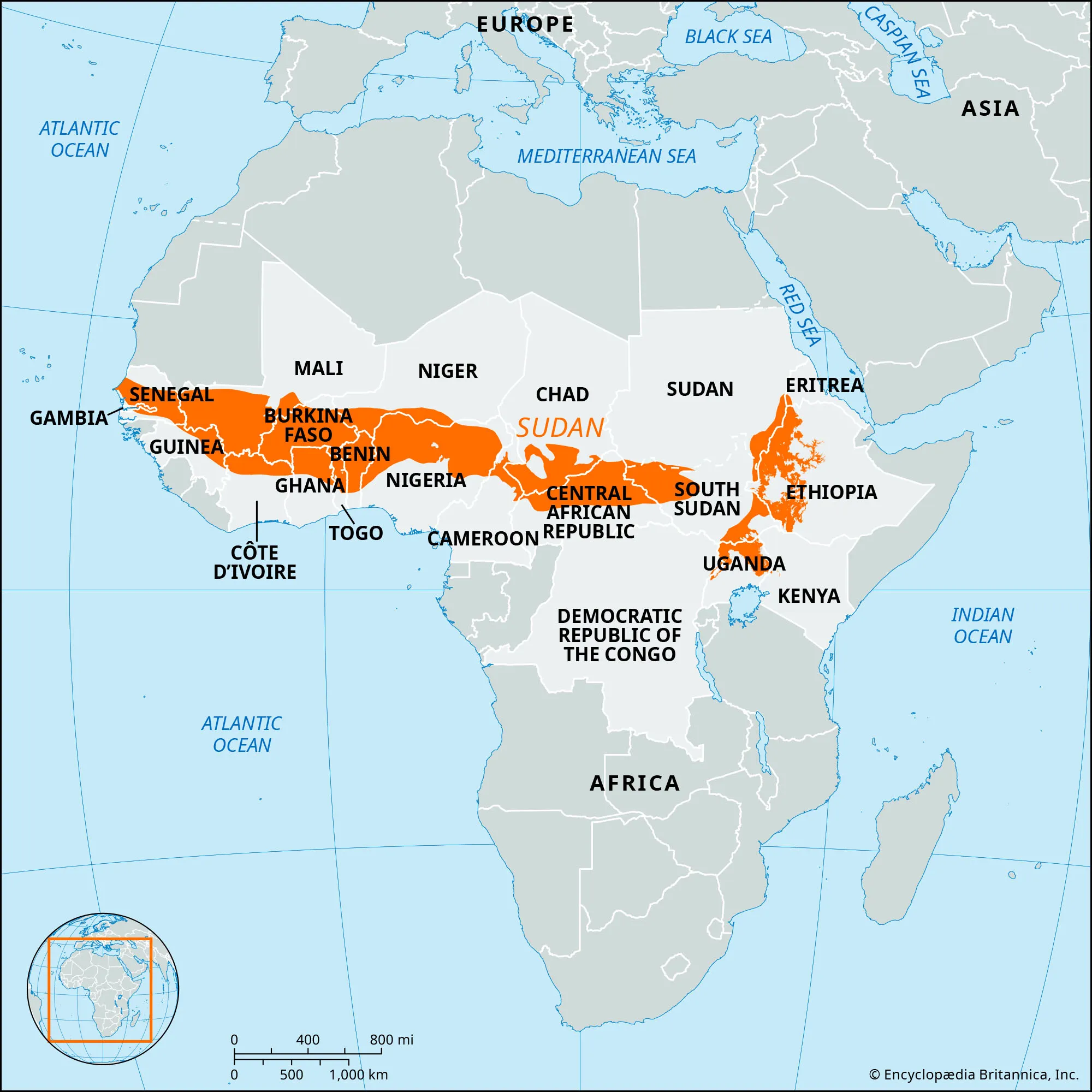
- Description:
- Sudanian Savanna is a biome, not a plain (by chatGPT).
- Grasslands, Senegal to Sudan.
- Formation:
- Erosion of plateaus, monsoon rains.
- Significance:
- Pastoralism, desertification risk.
- Deserts
- Sahara Desert (North Africa):
-
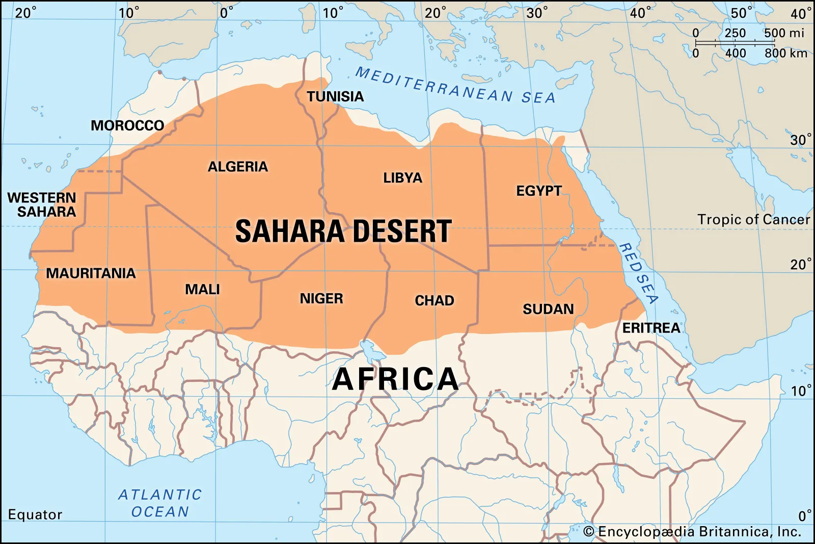
- Description:
- ~9.2 million km², largest hot desert.
- Formation:
- Subtropical high-pressure (Hadley cells), minor role of Atlas rain shadow.
- Significance:
- Cultural trade routes, resource exploration.
- Kalahari Desert (Botswana, Namibia):
-
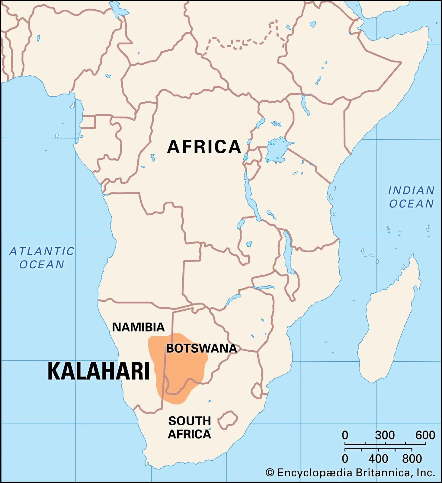
- Description:
- ~900,000 km², semi-arid.
- Formation:
- Rain shadow, limited oceanic moisture.
- Significance:
- San communities, diamond mining.
- Namib Desert (Namibia):
-
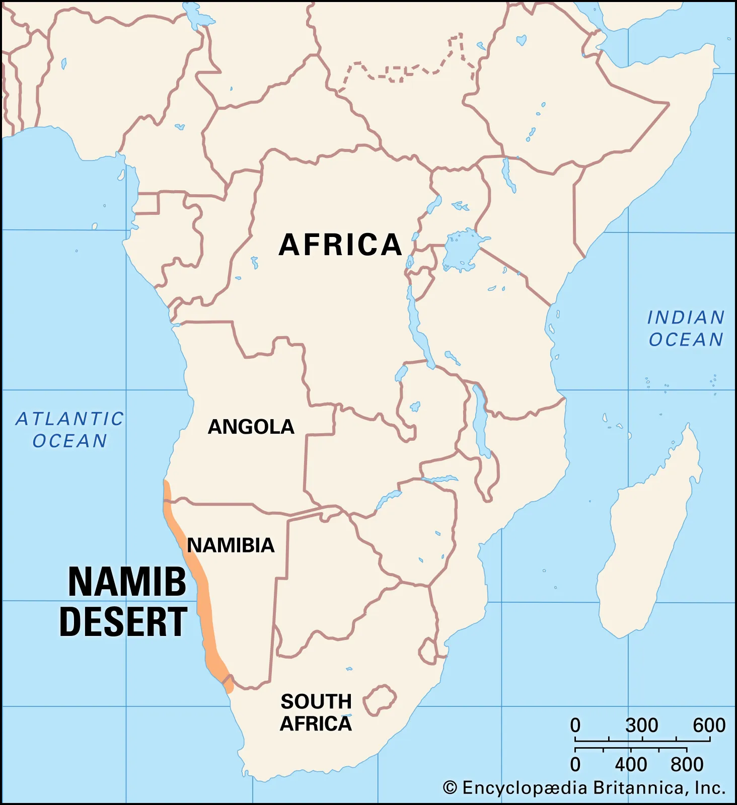
- Description:
- ~81,000 km², one of the oldest desert.
- Formation:
- Cold Benguela Current, inland plateaus.
- Significance:
- Unique ecosystems, uranium deposits.
- Forests
- Congo Rainforest (DRC, Congo, Cameroon):
-
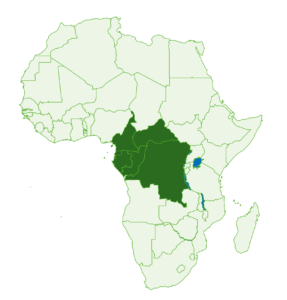
- Description:
- ~3.7 million km², second-largest rainforest.
- Formation:
- ITCZ rainfall, tectonic basins trap moisture.
- Significance:
- Carbon sink, gorilla habitat.
- Ituri Forest (DRC):
-
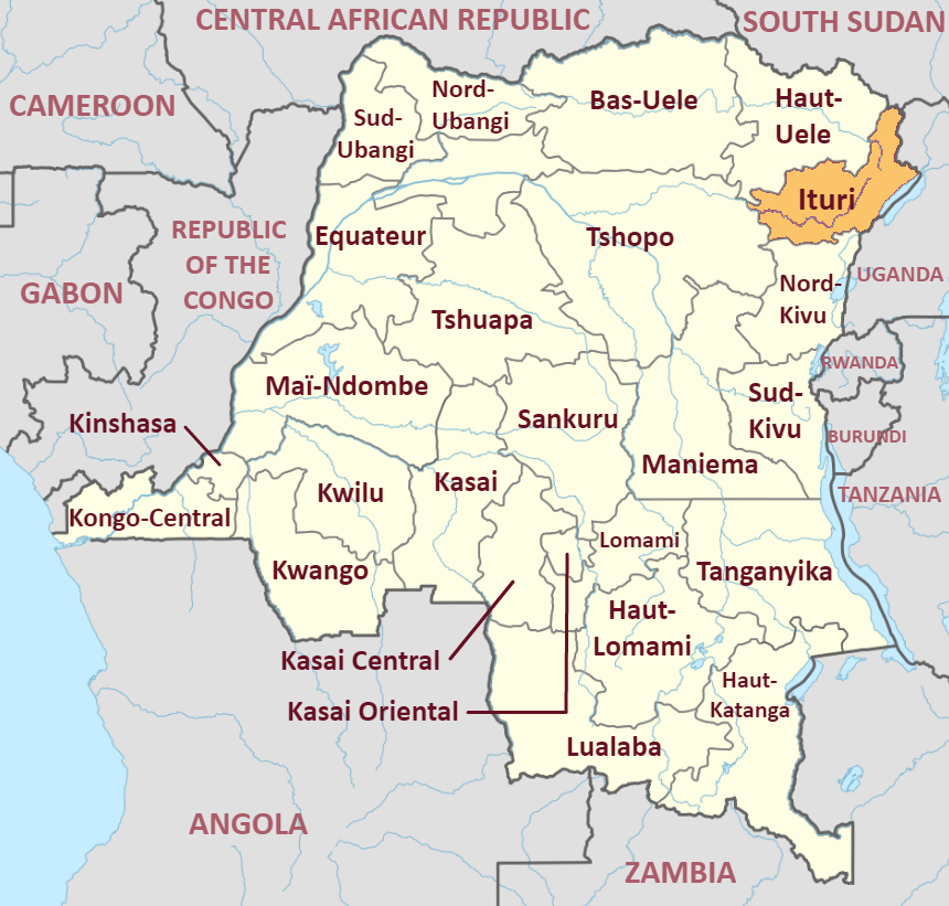
- Description:
- Northeastern Congo, Mbuti homeland.
- Formation:
- Equatorial rainfall, low basin elevation.
- Significance:
- Ethnographic value, biodiversity.
- Montane Forests (Ethiopia, Tanzania):
-
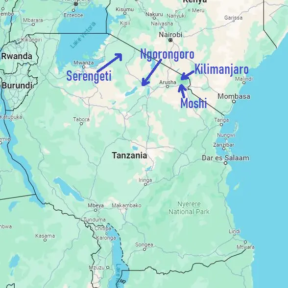
- Description:
- Kilimanjaro slopes, Ethiopian Highlands.
- Formation:
- Orographic rainfall on high elevations.
- Significance:
- Timber, wild coffee sources.
- Major Water Bodies
- Rivers
- Nile River (Egypt, Sudan, Uganda):
-
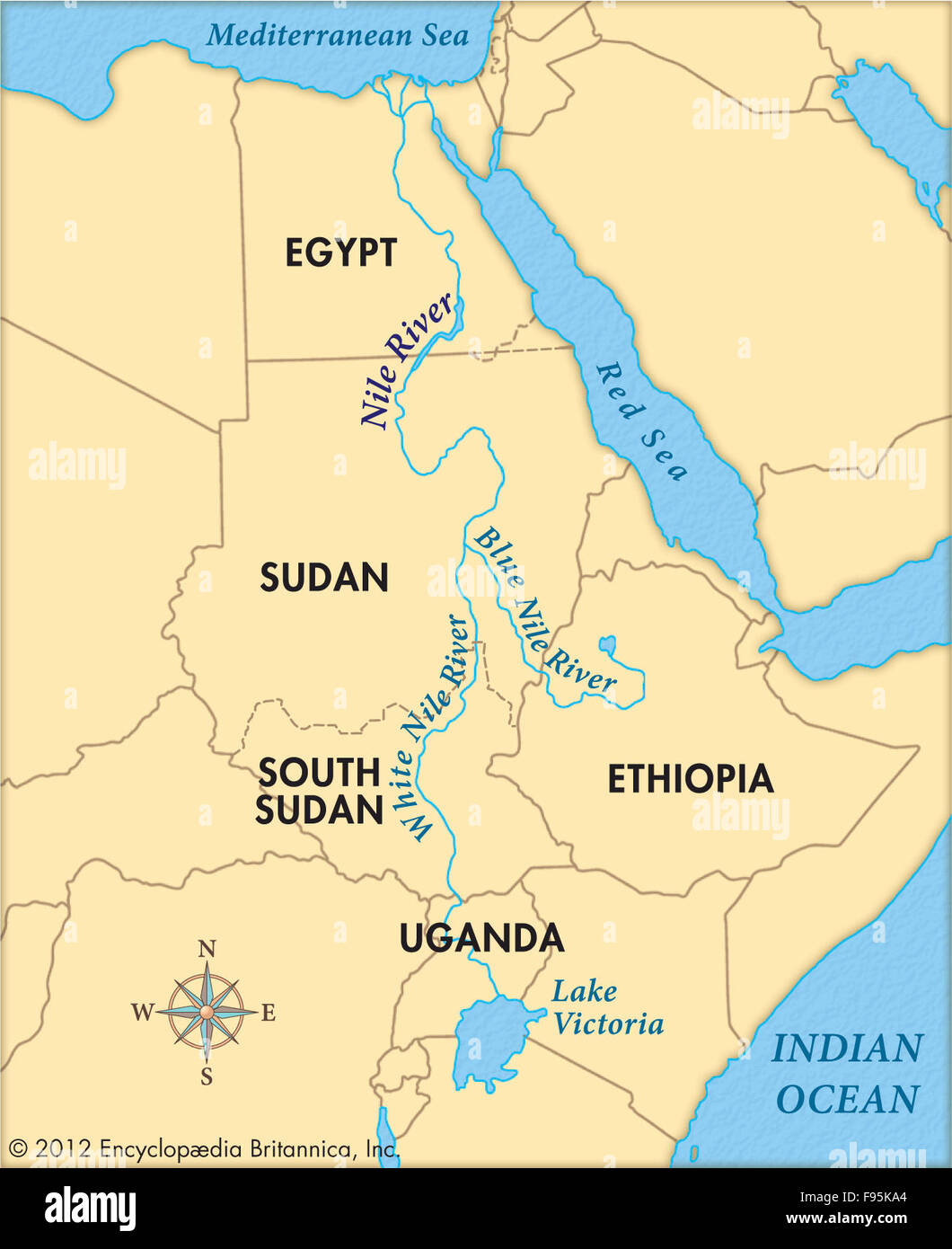
- Description:
- ~6,695 km, world’s longest.
- Nile is traditionally considered the longest, though Amazon is sometimes considered longer.
- Formation:
- Drains from tectonic lakes (Victoria) through rift valleys.
- Significance:
- Lifeline for Egypt, irrigation.
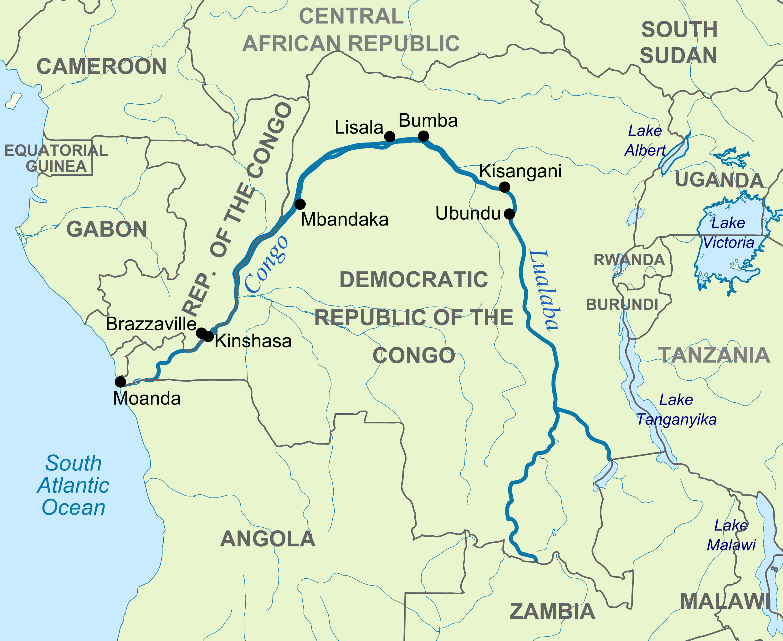
- Congo River (DRC, Congo):
-
- Description:
- ~4,700 km, high flow volume.
- Formation:
- Carved by equatorial rainfall in tectonic basin.
- Significance:
- Hydropower, transport.
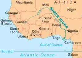
- Niger River (Nigeria, Mali):
-
- Description:
- ~4,180 km, West Africa.
- Formation:
- Drains from Fouta Djallon, alluvial deposition.
- Significance:
- Agriculture, oil delta.
- Lakes
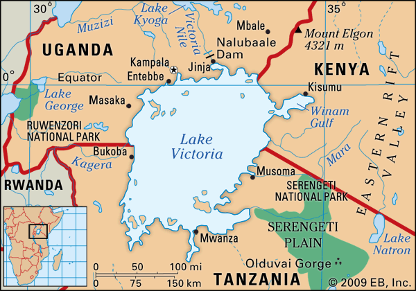
- Lake Victoria (Uganda, Kenya, Tanzania):
-
- Description:
- ~68,800 km², second-largest freshwater.
- Formation:
- Shallow lake formed by downwarping between two rift arms, rainfall accumulation.
- Significance:
- Nile source, fisheries.
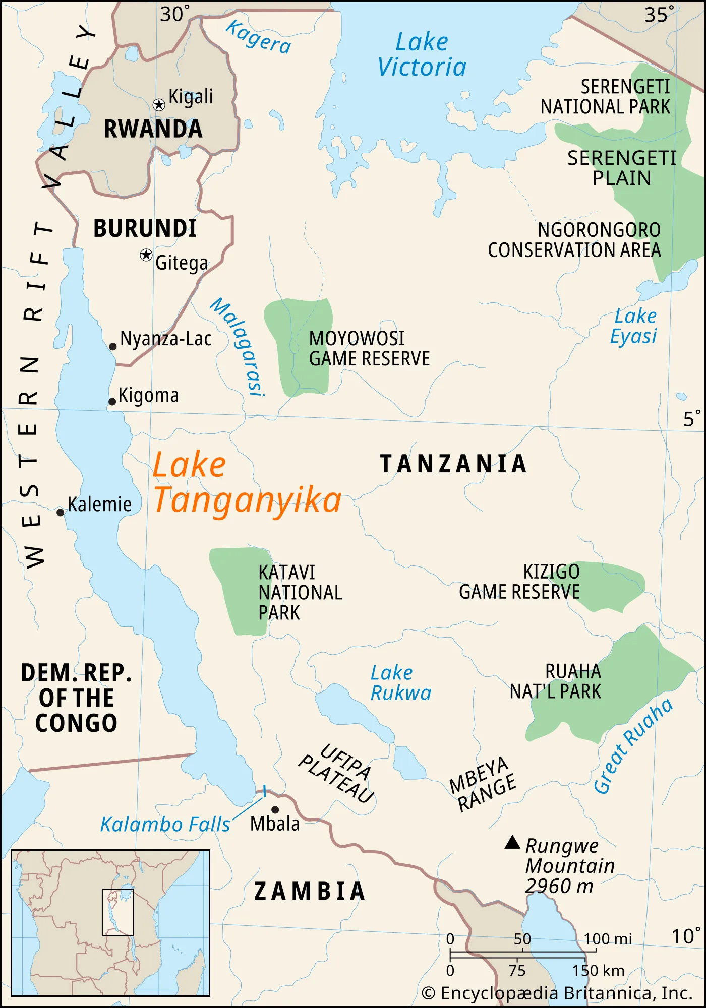
- Lake Tanganyika (Tanzania, DRC):
-
- Description:
- ~32,900 km², longest freshwater.
- Formation:
- Deep rift valley, ancient drainage.
- Significance:
- Unique fish species, trade.
- Lake Malawi (Malawi, Mozambique):
-
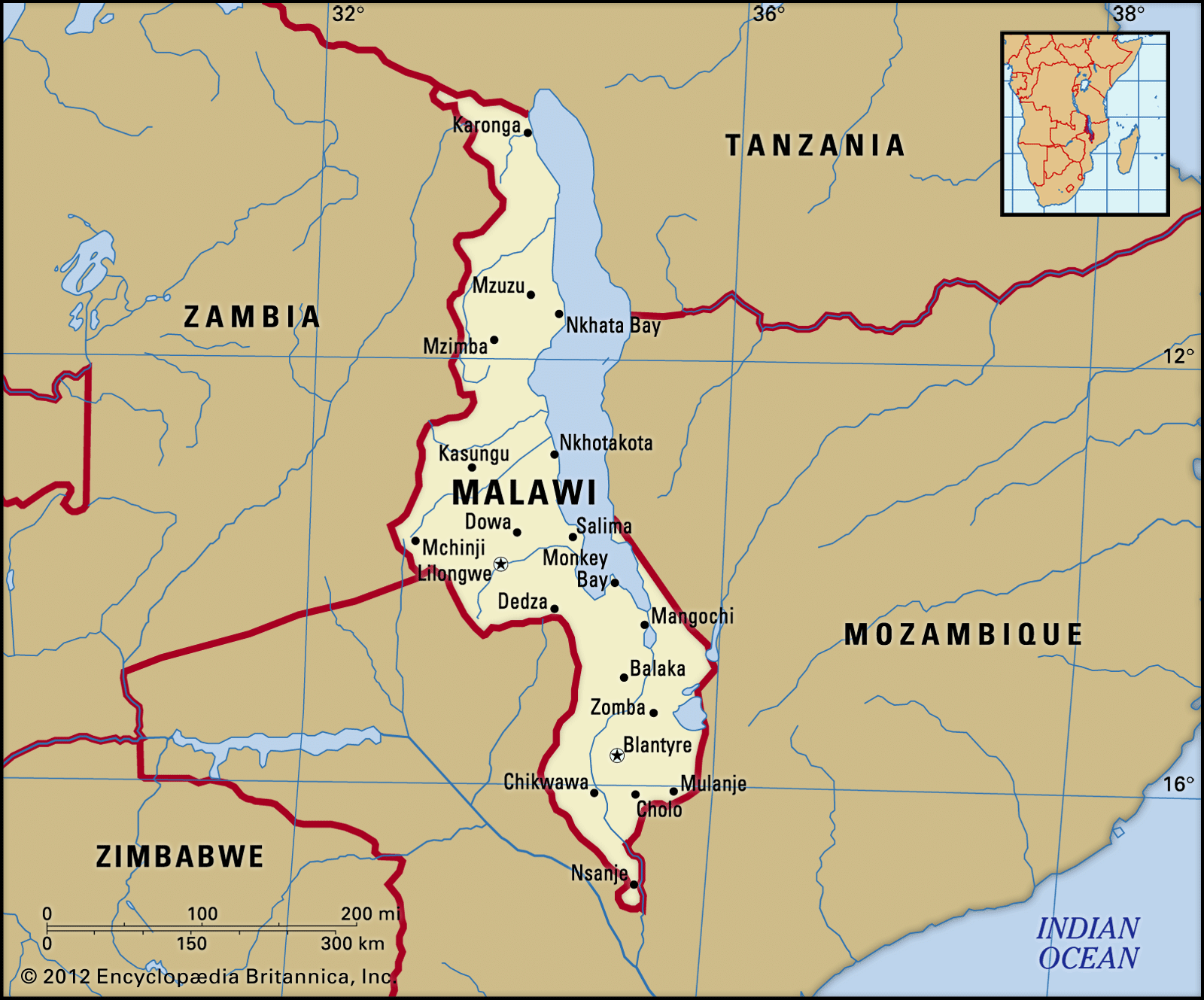
- Description:
- ~29,600 km², biodiverse.
- Formation:
- Rift valley depression, tectonic activity.
- Significance:
- Endemic cichlids, tourism.
- Basins
- Congo Basin (DRC, Congo):
-
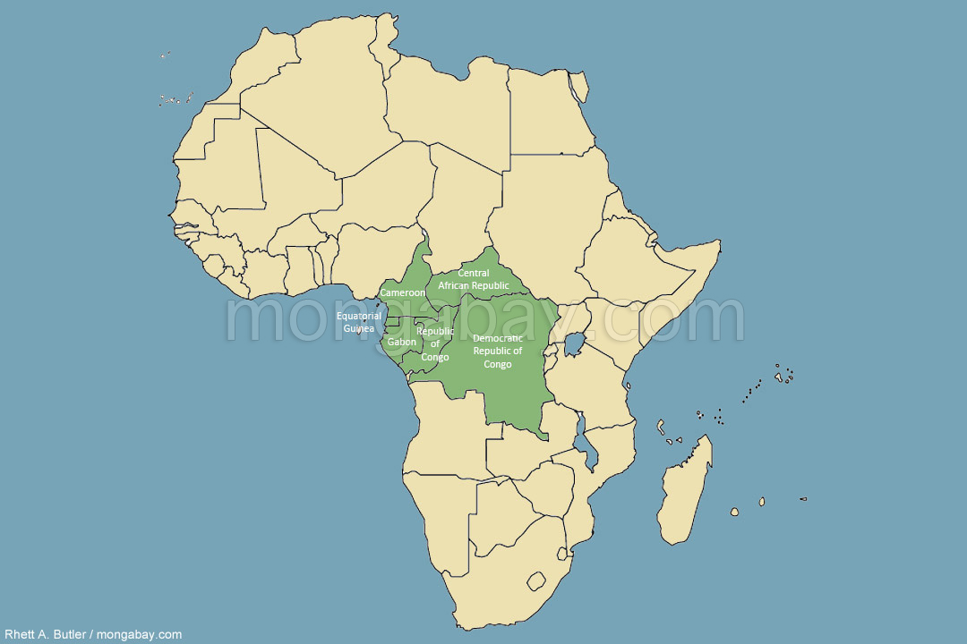
- Description:
- ~3.7 million km², rainforest hub.
- Formation:
- Tectonic subsidence, sediment accumulation.
- Significance:
- Biodiversity, carbon storage.
- Nile Basin (Egypt, Sudan, Uganda):
-
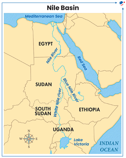
- Description:
- ~3.4 million km², 11 countries.
- Formation:
- Rift valley drainage, alluvial deposition.
- Significance:
- Agriculture, geopolitical tensions.
- Chad Basin (Chad, Nigeria):
-
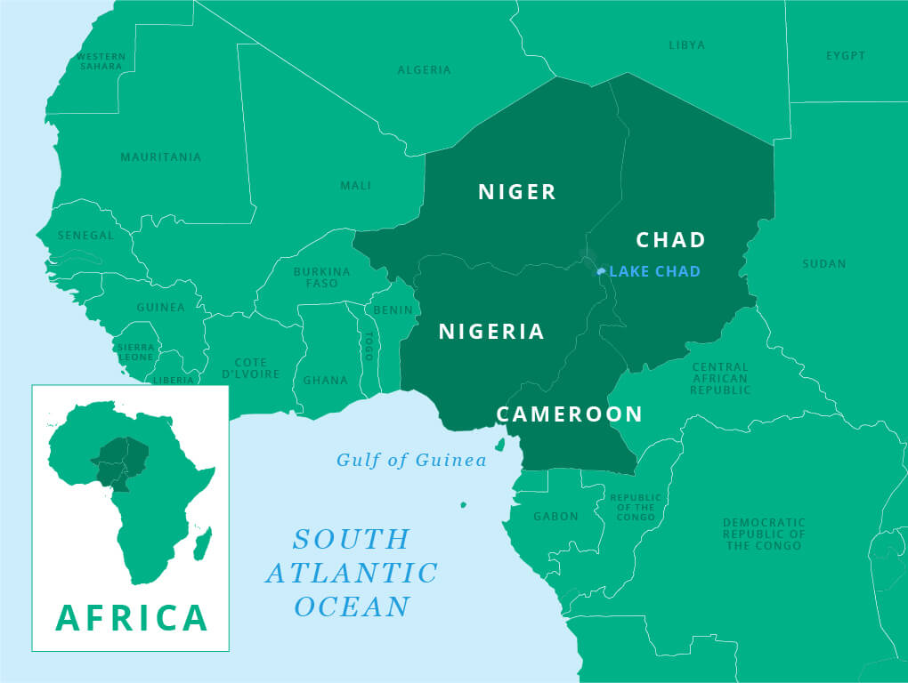
- Description:
- ~2.4 million km², semi-arid.
- Formation:
- Ancient lakebed, tectonic depression.
- Significance:
- Oil, shrinking Lake Chad.
- Gulfs
- Gulf of Guinea (Nigeria, Ghana):
-
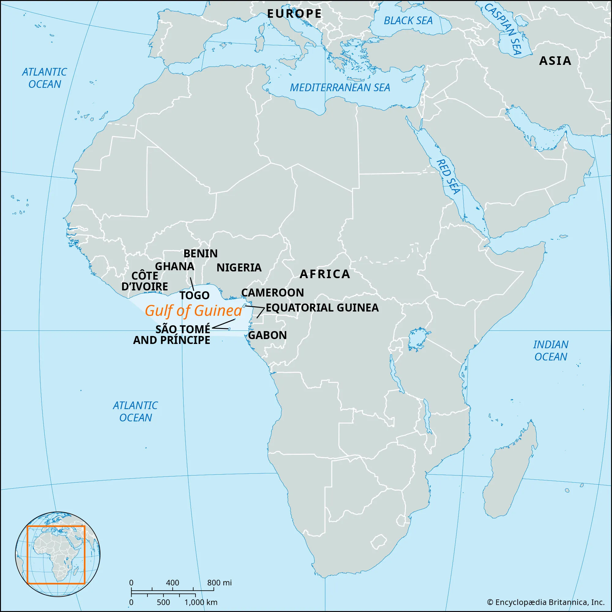
- Description:
- ~2.3 million km², shipping hub.
- Formation:
- Atlantic indentation, tectonic stability.
- Significance:
- Oil trade, piracy concerns.
- Gulf of Aden (Somalia):
-
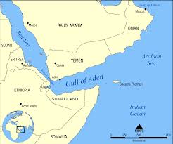
- Description:
- ~410,000 km², strategic route.
- Formation:
- Rift between African-Arabian plates.
- Significance:
- Maritime trade, security.
- Islands
- Madagascar
-
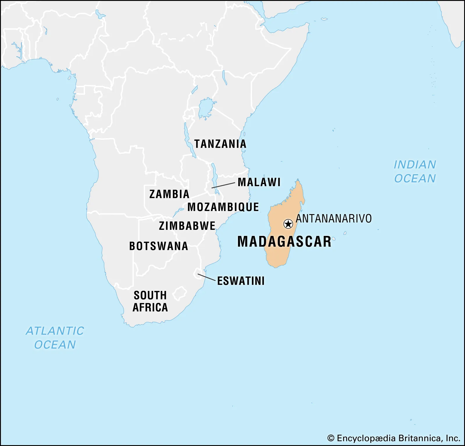
- Country:
- Madagascar
- Description:
- ~587,000 km², unique biodiversity
- Formation:
- Gondwana breakup, tectonic drift.
- Seychelles
-
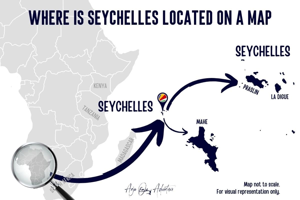
- Country:
- Seychelles
- Description:
- Granitic islands, ~455 km²
- Formation:
- Gondwana fragments, tectonic uplift.
- Mauritius
-
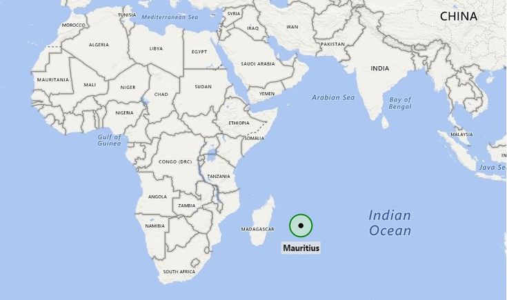
- Country:
- Mauritius
- Description:
- Volcanic island, ~2,040 km²
- Formation:
- Hotspot volcanism, ~8 million years ago.
- Comoros
-
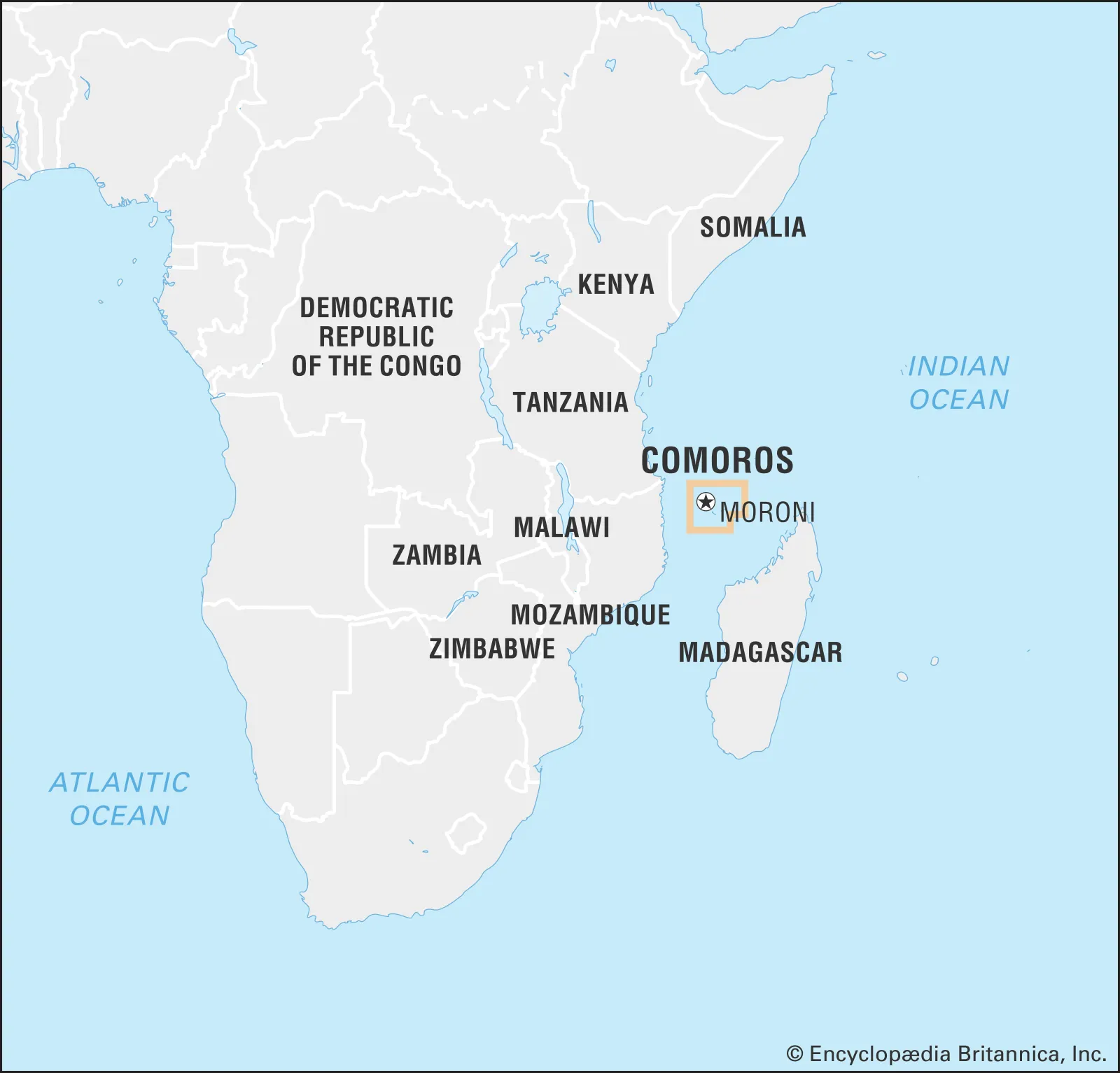
- Country:
- Comoros
- Description:
- Volcanic archipelago, ~1,862 km²
- Formation:
- East African Rift volcanism.
- São Tomé
-
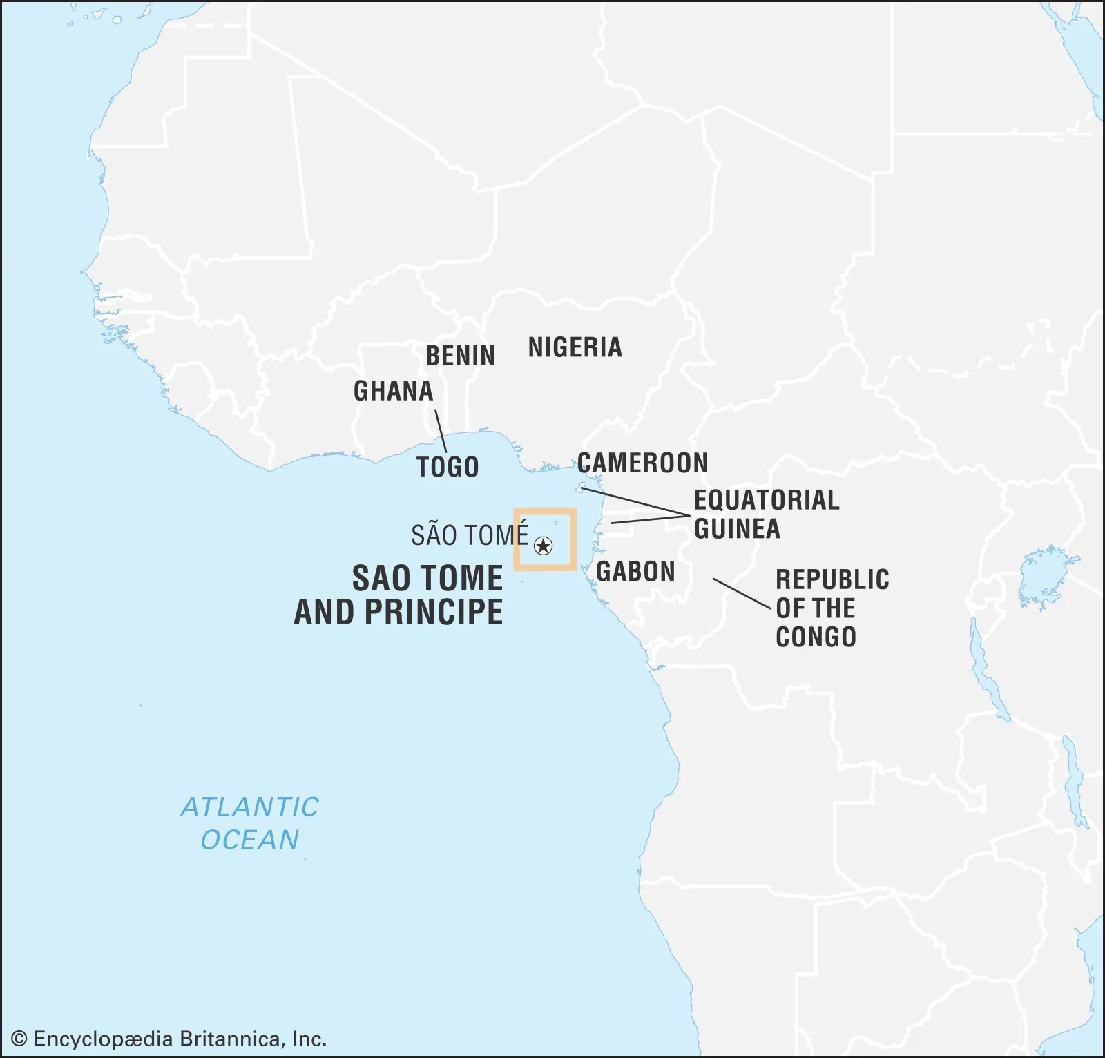
- Country:
- São Tomé and Príncipe
- Description:
- Volcanic, ~1,001 km²
- Formation:
- Gulf of Guinea hotspot, ~30 million years.
- National Parks/Protected Areas
- Serengeti National Park (Tanzania):
-
- Description:
- ~14,750 km², wildebeest migration.
- Significance:
- UNESCO site, ecotourism.
- Kruger National Park (South Africa):
-
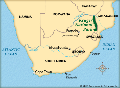
- Description:
- ~19,485 km², Big Five wildlife.
- Significance:
- Conservation, biodiversity hub.
- Virunga National Park (DRC):
-
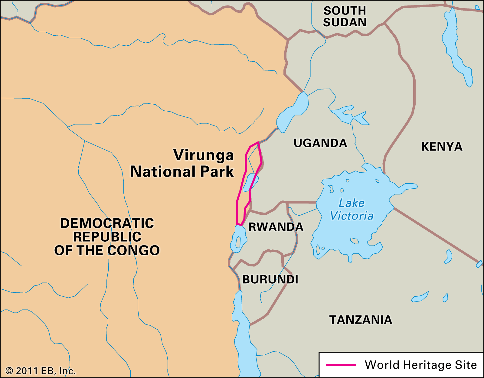
- Description:
- ~7,800 km², mountain gorillas.
- Significance:
- UNESCO site, conflict zone.
- Biodiversity Hotspots
- Eastern Afromontane (Ethiopia, Kenya):
-
- Description:
- Highland forests, unique species.
- Significance:
- Endemic birds, plants; threatened by agriculture.
- Madagascar and Indian Ocean Islands:
-
- Description:
- 90% endemic species (e.g., lemurs).
- Significance:
- Global conservation priority.
- Guinean Forests (Guinea, Sierra Leone, Liberia, Côte d'Ivoire, Ghana, Togo, Benin, Nigeria):
-
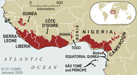
- Description:
- Tropical forests, high biodiversity.
- Significance:
- Threatened by logging, mining.
- Human Impact
- Deforestation (Congo Basin):
- Logging and agriculture reduce forest cover, releasing carbon.
- Desertification (Sahel):
- Overgrazing and climate change expand arid zones.
- Lake Chad Shrinkage:
- Irrigation and drought reduce lake size, impacting livelihoods.
- Nile Damming:
- Grand Ethiopian Renaissance Dam alters downstream flow, causing geopolitical tensions.
- Asia
-
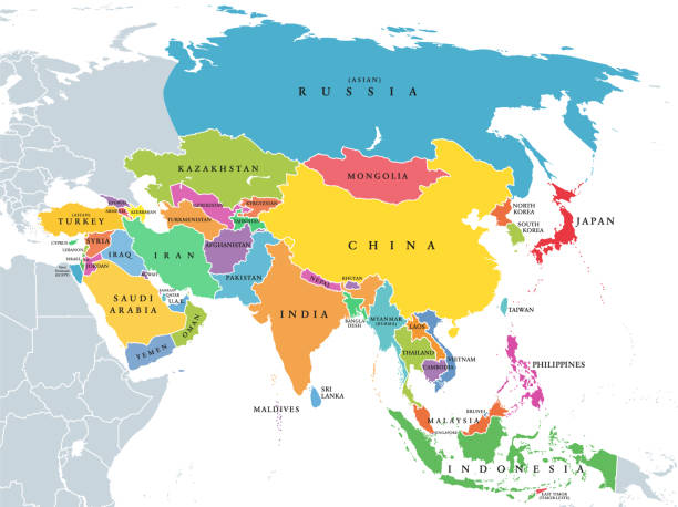
- Overview
- Asia, the largest continent, spans ~44.58 million km², with a population of ~4.7 billion (2023).
- It features diverse landscapes, from the Himalayas to the Gobi Desert, shaped by tectonic collisions, monsoon climates, and vast river systems.
- Countries (49 recognized sovereign states)
- Note on number of countries
- Asia has 48 countries (if you exclude Palestine and Taiwan).
- Some books say 49 including Palestine, but never include Taiwan.
- Afghanistan
- Capital: Kabul
- Armenia
- Capital: Yerevan
- Azerbaijan
- Capital: Baku
- Bahrain
- Capital: Manama
- Bangladesh
- Capital: Dhaka
- Bhutan
- Capital: Thimphu
- Brunei
- Capital: Bandar Seri Begawan
- Cambodia
- Capital: Phnom Penh
- China
- Capital: Beijing
- Cyprus
- Capital: Nicosia
- Georgia
- Capital: Tbilisi
- India
- Capital: New Delhi
- Indonesia
- Capital: Jakarta
- Iran
- Capital: Tehran
- Iraq
- Capital: Baghdad
- Israel
- Capital: Jerusalem
- Japan
- Capital: Tokyo
- Jordan
- Capital: Amman
- Kazakhstan
- Capital: Astana
- Kuwait
- Capital: Kuwait City
- Kyrgyzstan
- Capital: Bishkek
- Laos
- Capital: Vientiane
- Lebanon
- Capital: Beirut
- Malaysia
- Capital: Kuala Lumpur
- Maldives
- Capital: Malé
- Mongolia
- Capital: Ulaanbaatar
- Myanmar
- Capital: Naypyidaw
- Nepal
- Capital: Kathmandu
- North Korea
- Capital: Pyongyang
- Oman
- Capital: Muscat
- Pakistan
- Capital: Islamabad
- Palestine
- Capital: Ramallah
- Philippines
- Capital: Manila
- Qatar
- Capital: Doha
- Russia (Asian part)
- Capital: Moscow
- Saudi Arabia
- Capital: Riyadh
- Singapore
- Capital: Singapore
- South Korea
- Capital: Seoul
- Sri Lanka
- Capital: Colombo
- Syria
- Capital: Damascus
- Taiwan
- Capital: Taipei
- Tajikistan
- Capital: Dushanbe
- Thailand
- Capital: Bangkok
- Timor-Leste
- Capital: Dili
- Turkey (Asian part)
- Capital: Ankara
- Turkmenistan
- Capital: Ashgabat
- United Arab Emirates
- Capital: Abu Dhabi
- Uzbekistan
- Capital: Tashkent
- Vietnam
- Capital: Hanoi
- Yemen
- Capital: Sana’a
- Physiographic Divisions
- Asia Physiographic Divisions
1. Northern Mountains:
-

- Description: World's highest mountain ranges.
- Major Ranges:
- Himalayas (India, Nepal, Bhutan, China).
- Karakoram (Pakistan, China).
- Hindu Kush (Afghanistan).
- Tien Shan and Pamirs (Central Asia).
- Significance:
- Source of major rivers (Ganga, Indus, Yangtze).
- Climate barrier (monsoon influence).
- Seismic activity due to plate collision (Indian-Eurasian).
2. Central Highlands:
-
- Description: Rugged plateaus and basins between mountain systems.
- Major Features:
- Plateau of Tibet (world’s highest).
- Iranian Plateau (Iran, Afghanistan).
- Anatolian Plateau (Turkey).
- Gobi Desert and Mongolian Plateau.
- Significance:
- Mineral resources.
- Harsh climate, sparse population.
3. Southern Plateaus and Peninsulas:
-
- Description: Stable landmasses forming peninsular Asia.
- Major Features:
- Deccan Plateau (India).
- Arabian Peninsula (Saudi Arabia, etc.).
- Indochina Peninsula (Vietnam, Thailand, etc.).
- Malay Peninsula.
- Significance:
- Rich biodiversity.
- Monsoonal agriculture.
- Oil-rich zones (Arabian region).
4. Great River Plains:
-
- Description: Fertile lowlands formed by major rivers.
- Major Plains:
- Indo-Gangetic Plain (India, Pakistan, Bangladesh).
- Mesopotamian Plain (Tigris-Euphrates).
- North China Plain (Huang He/Yellow River).
- Significance:
- Densely populated.
- Cradle of early civilizations.
- Intensive agriculture.
5. Eastern Highlands:
-
- Description: Mountainous and hilly terrains in East Asia.
- Examples:
- Great Khingan Mountains (NE China).
- Qinling Mountains (China).
- Japanese Archipelago Mountains.
- Significance:
- Earthquake and volcano zones (Pacific Ring of Fire).
- Forest and mineral resources.
6. Island Arcs and Archipelagos:
-
- Description: Chains of islands due to volcanic activity and tectonics.
- Major Archipelagos:
- Japan, Philippines, Indonesia, Andaman & Nicobar.
- Features:
- Volcanic islands, coral islands.
- Significance:
- Earthquake-prone.
- Marine biodiversity hotspots.
7. Deserts and Arid Zones:
-
- Major Deserts:
- Gobi (Mongolia, China).
- Thar (India, Pakistan).
- Karakum (Turkmenistan), Kyzylkum (Uzbekistan).
- Characteristics:
- Low rainfall.
- Sparse vegetation and habitation.
- Economic Use:
- Nomadic herding, mineral extraction.
8. Coastal Regions and Deltas:
-
- Major Deltas:
- Ganga-Brahmaputra Delta (world’s largest).
- Mekong Delta (Vietnam).
- Yangtze Delta (China).
- Coastal Features:
- Estuaries, lagoons, mangroves.
- Importance:
- Ports, trade centers, agriculture, fisheries.
- Formation:
- Tectonic collisions (e.g., India-Eurasia) formed mountains and plateaus; erosion and deposition created plains; arid climates shaped deserts.
- Major Physical Features
- Mountain Ranges
- Himalayas (India, Nepal, China):
-
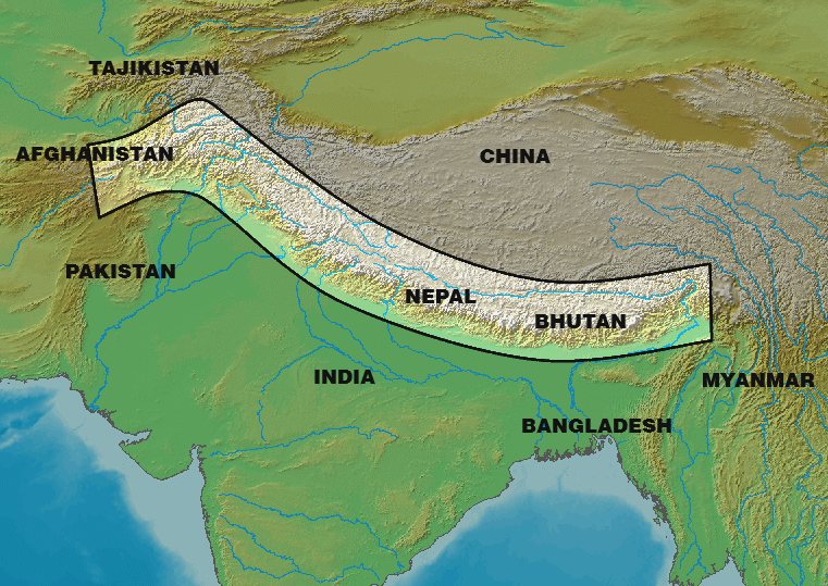
- Description:
- ~2,400 km, peaks at 8,848 m (Everest).
- Formation:
- Collision of Indian and Eurasian plates, 50 million years ago.
- Significance:
- Monsoon barrier, biodiversity hub.
- Altai Mountains (Russia, Mongolia, China):
-
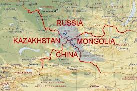
- Description:
- ~2,000 km, peaks at 4,506 m.
- Formation:
- Tectonic compression, Paleozoic orogeny.
- Significance:
- Mineral resources, nomadic culture.
- Tien Shan (Kyrgyzstan, China):
-
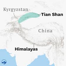
- Description:
- ~2,800 km, peaks at 7,439 m.
- Formation:
- India-Asia collision, tectonic uplift.
- Significance:
- Glaciers, Silk Road route.
- Plateaus
- Tibetan Plateau (China):
-
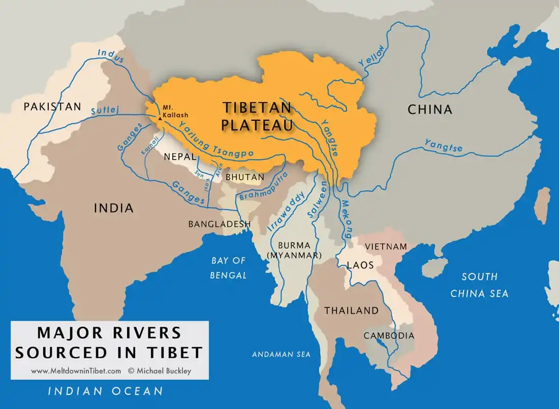
- Description:
- ~2.5 million km², ~4,500 m elevation.
- Formation:
- Uplift from India-Eurasia collision.
- Significance:
- “Third Pole,” river source.
- Deccan Plateau (India):
-
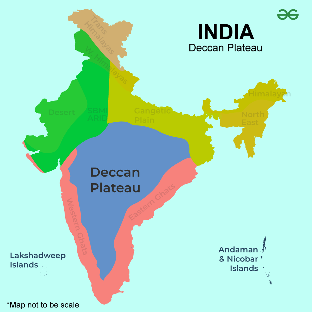
- Description:
- ~1.9 million km², volcanic basalt.
- Formation:
- Lava flows, 65 million years ago.
- Significance:
- Agriculture, mineral wealth.
- Mongolian Plateau (Mongolia):
-
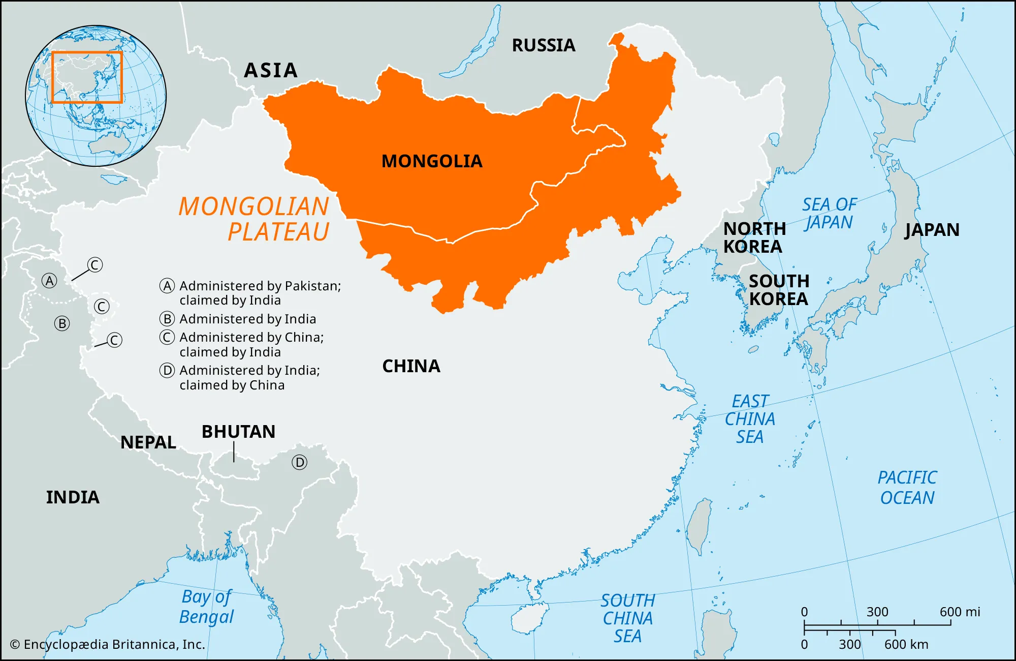
- Description:
- ~2.6 million km², ~1,500 m.
- Formation:
- Tectonic stability, erosion.
- Significance:
- Nomadic pastoralism.
- Plains
- Indo-Gangetic Plain (India, Pakistan, Bangladesh):
-
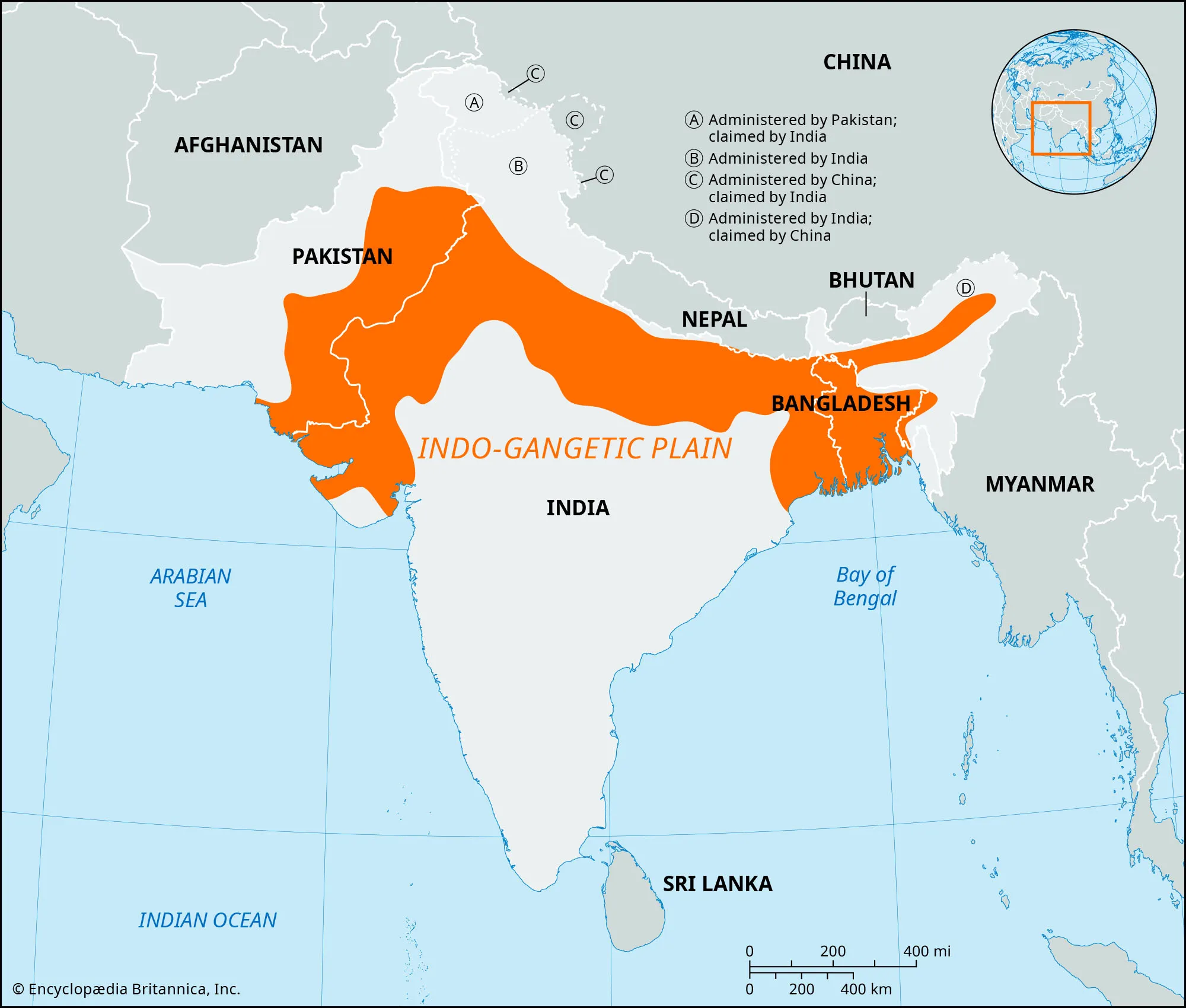
- Description:
- ~700,000 km², fertile floodplain.
- Formation:
- Alluvial deposition by Ganges, Indus.
- Significance:
- “Breadbasket,” dense population.
- North China Plain (China):
-
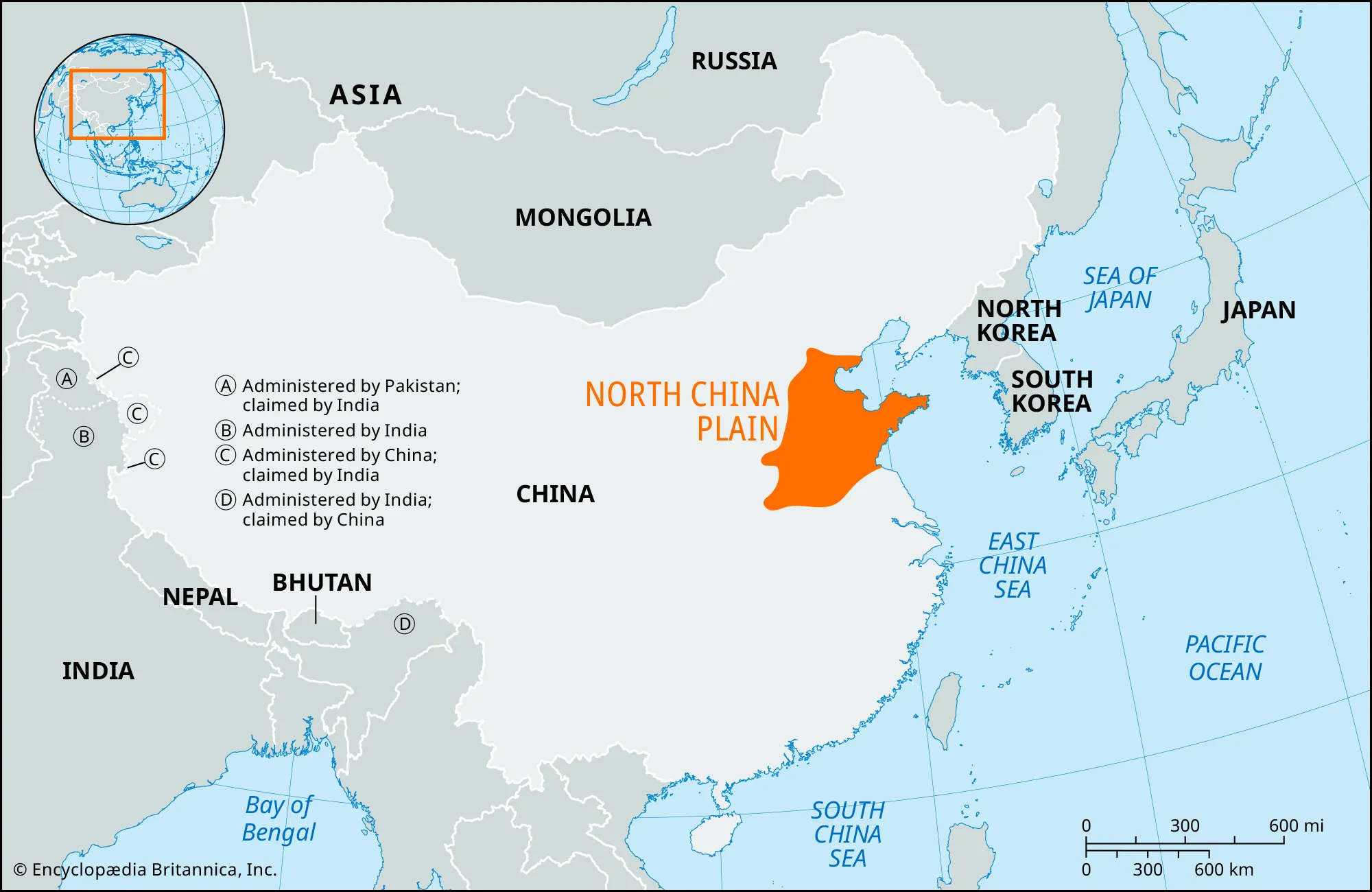
- Description:
- ~400,000 km².
- Formation:
- Alluvial deposition, loess soils.
- Significance:
- Agriculture, urbanization.
- West Siberian Plain (Russia):
-
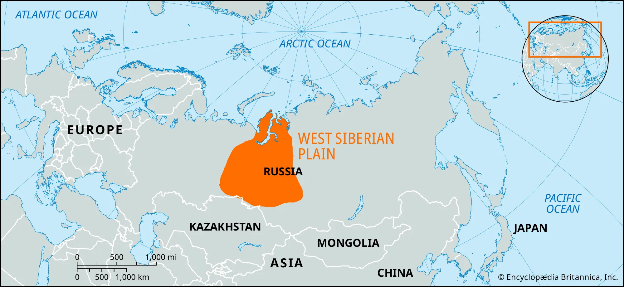
- Description:
- ~2.6 million km², flat lowland.
- Formation:
- Glacial and fluvial deposition.
- Significance:
- Oil, gas reserves.
- Deserts
- Gobi Desert (China, Mongolia):
-
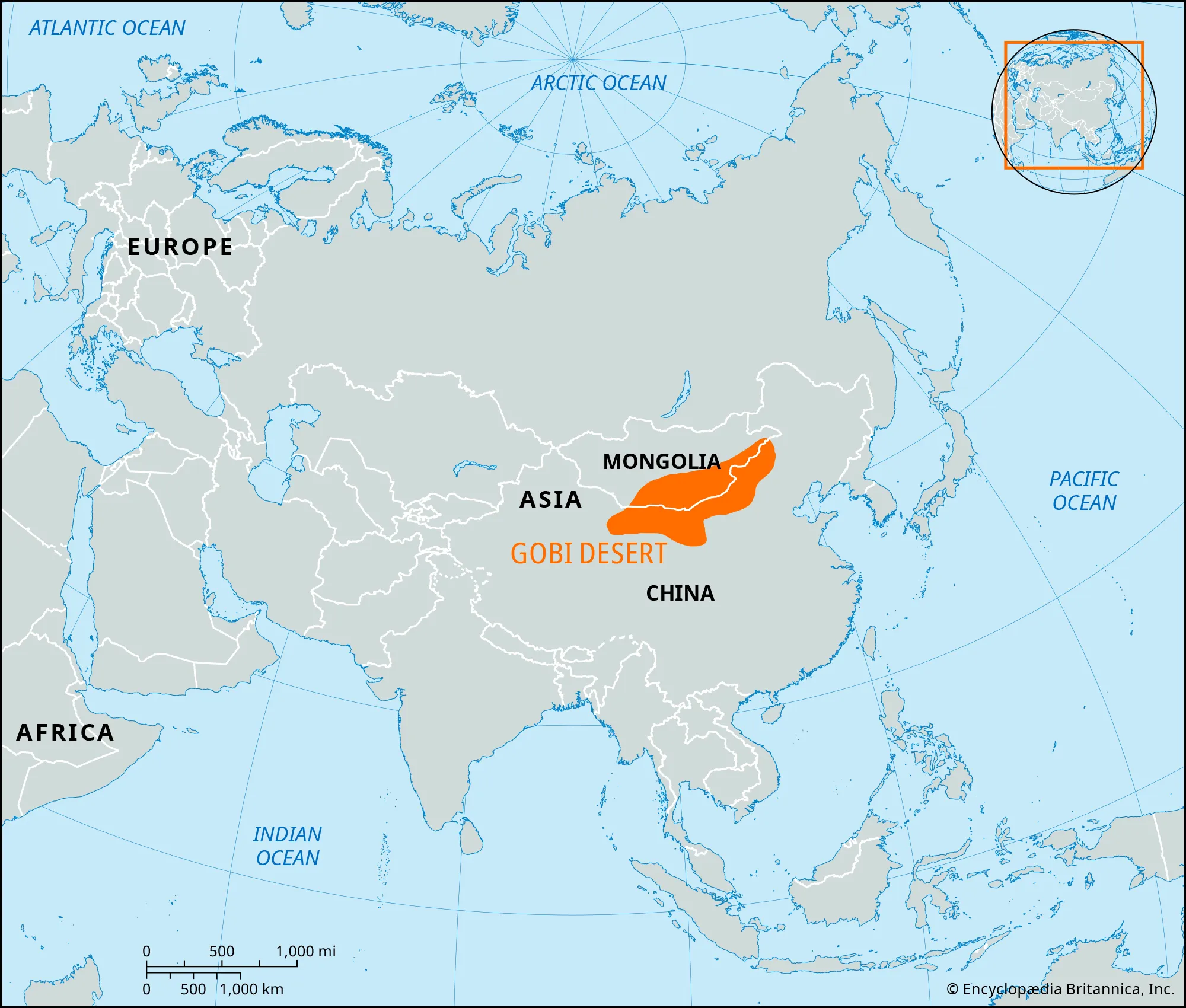
- Description:
- ~1.3 million km², cold desert.
- Formation:
- Rain shadow, Gobi is mainly blocked by Altai, Tien Shan, Tibetan Plateau
- Significance:
- Dinosaur fossils, mineral deposits.
- Rub’ al Khali (Saudi Arabia, Oman):
-
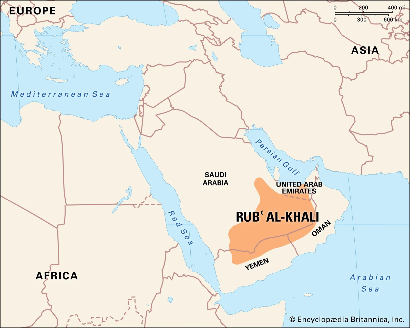
- Description:
- ~650,000 km², vast sand sea.
- Formation:
- Subtropical high-pressure, minimal rainfall.
- Significance:
- Oil reserves, Bedouin culture.
- Taklamakan Desert (China):
-
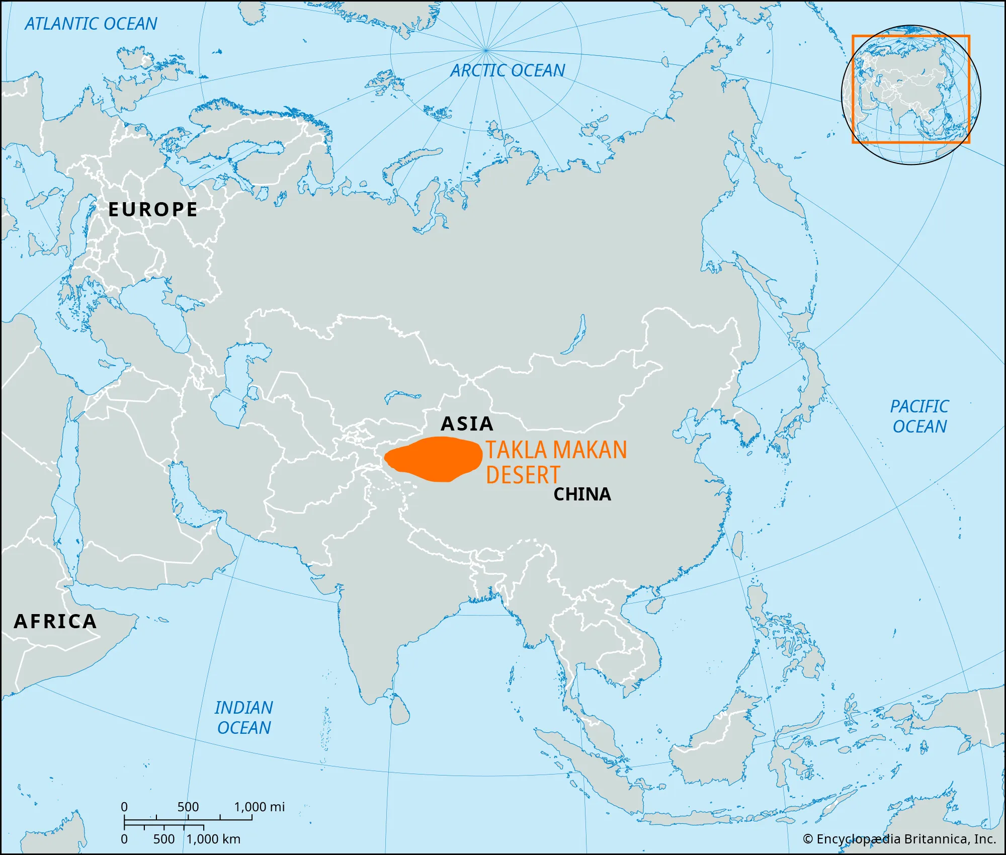
- Description:
- ~337,000 km², sand dunes.
- Formation:
- Rain shadow from Tien Shan, arid basin.
- Significance:
- Silk Road history, gas fields.
- Forests
- Siberian Taiga (Russia):
-
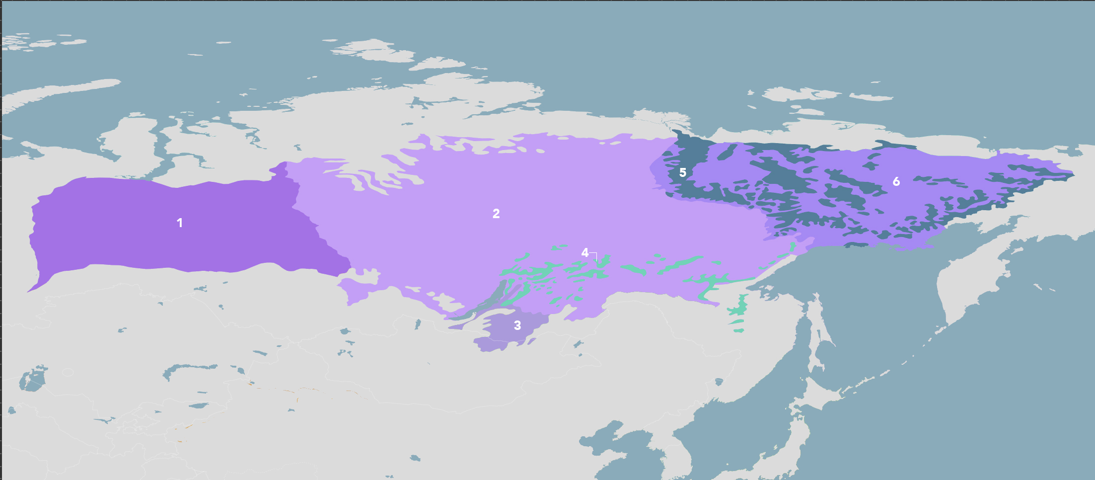
- Description:
- ~12 million km², boreal forest.
- Formation:
- Cold, moist climate, permafrost base.
- Significance:
- Carbon sink, timber.
- Sundarbans (India, Bangladesh):
-
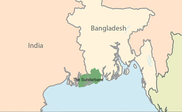
- Description:
- ~10,000 km², mangrove forest.
- Formation:
- Ganges-Brahmaputra delta, tidal flooding.
- Significance:
- Bengal tiger habitat, UNESCO site.
- Borneo Rainforest (Indonesia, Malaysia):
-
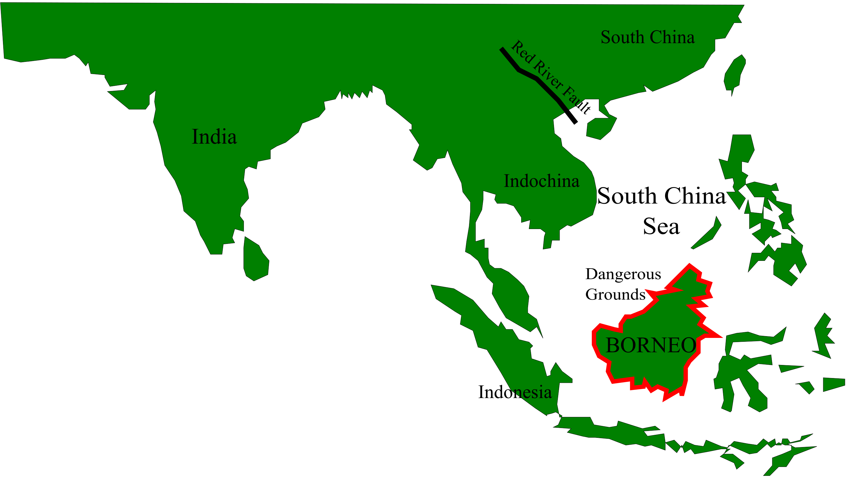
- Description:
- ~427,000 km², tropical rainforest.
- Formation:
- Equatorial rainfall, stable climate.
- Significance:
- Orangutan habitat, biodiversity.
- Major Water Bodies
- Rivers
- Yangtze River (China):
-
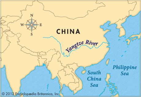
- Description:
- ~6,300 km, Asia’s longest.
- Formation:
- Drains from Tibetan Plateau, tectonic valleys.
- Significance:
- Hydropower, shipping.
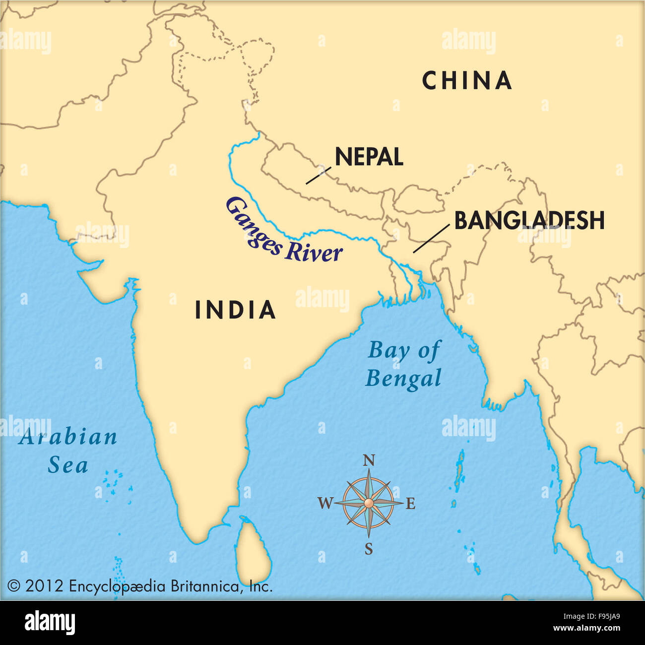
- Ganges River (India, Bangladesh):
-
- Description:
- ~2,525 km, sacred river.
- Formation:
- Himalayan runoff, alluvial deposition.
- Significance:
- Agriculture, cultural hub.
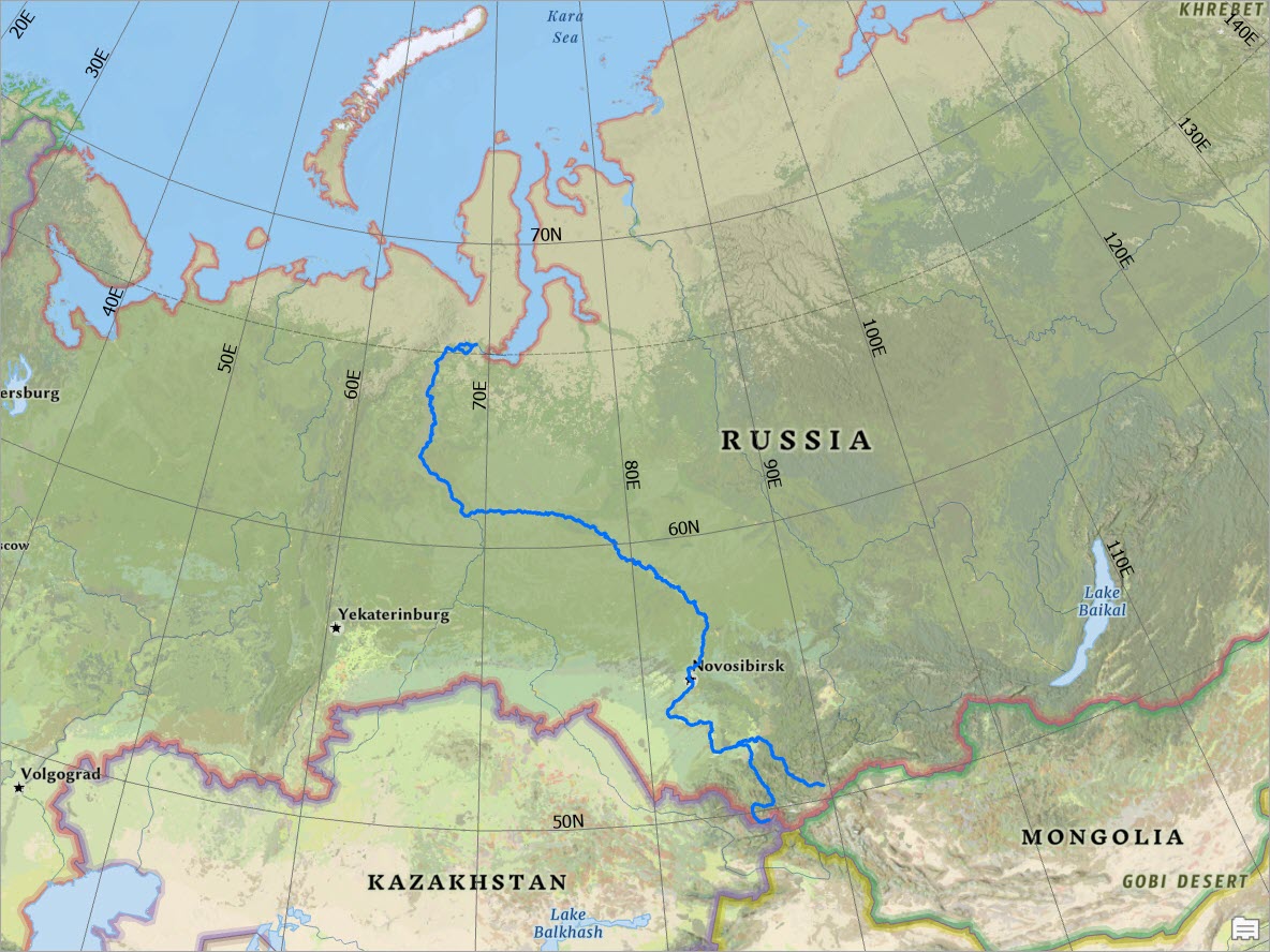
- Ob River (Russia):
-
- Description:
- ~5,410 km, Siberian flow.
- That is with Irtysh included.
- Ob alone is ~3,650 km.
- Formation:
- Glacial and tectonic drainage.
- Significance:
- Oil transport, fisheries.
- Lakes
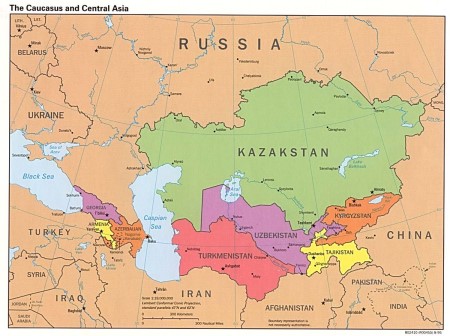
- Caspian Sea (Kazakhstan, Russia, Iran):
-
- Description:
- ~371,000 km², largest lake.
- Formation:
- Tectonic depression, ancient seabed.
- Significance:
- Oil, sturgeon fisheries.
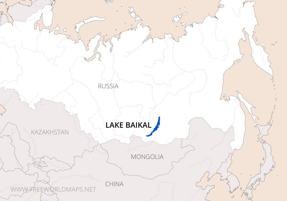
- Lake Baikal (Russia):
-
- Description:
- ~31,722 km², deepest lake.
- Formation:
- Rift valley, tectonic activity.
- Significance:
- 20% of global unfrozen freshwater, UNESCO site.
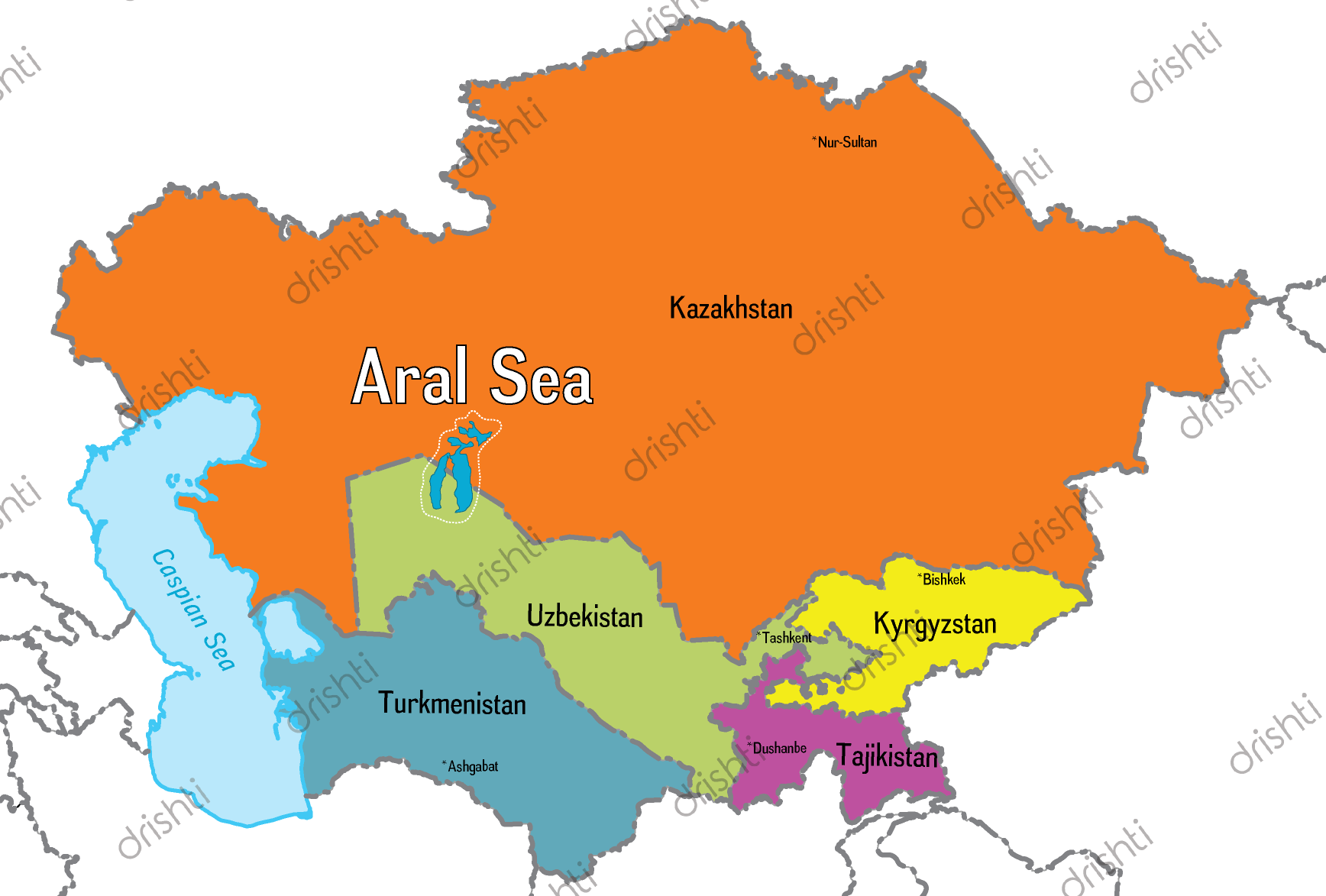
- Aral Sea (Kazakhstan, Uzbekistan):
-
- Description:
- ~17,000 km² (shrinking), saline.
- Formation:
- Tectonic basin, river-fed.
- Significance:
- Environmental disaster, irrigation loss.
- Basins
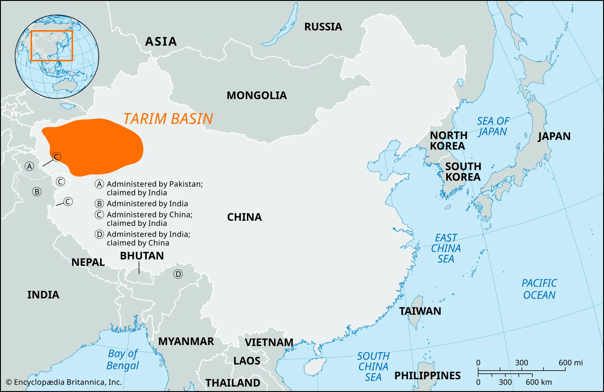
- Tarim Basin (China):
-
- Description:
- ~1.02 million km², arid.
- Formation:
- Tectonic subsidence, mountain enclosure.
- Significance:
- Oil, gas reserves.
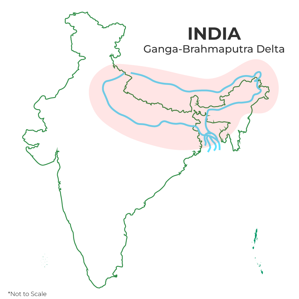
- Ganges-Brahmaputra Basin (India, Bangladesh):
-
- Description:
- ~1.7 million km², fertile.
- Formation:
- Himalayan runoff, alluvial deposition.
- Significance:
- Agriculture, flood risk.
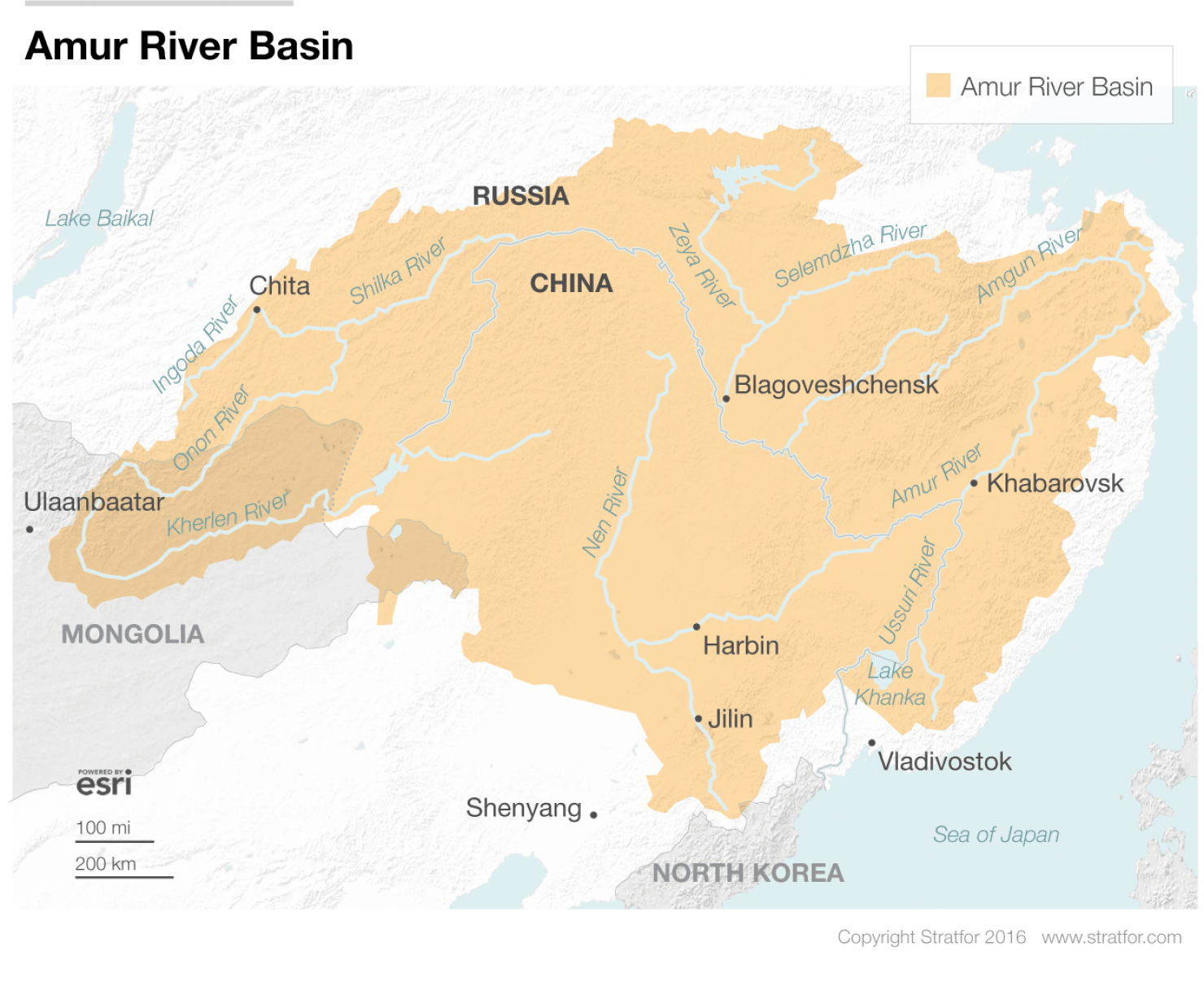
- Amur Basin (Russia, China):
-
- Description:
- ~1.85 million km², temperate.
- Formation:
- Tectonic drainage, fluvial sediments.
- Significance:
- Fisheries, border disputes.
- Gulfs
- Persian Gulf (Iran, Saudi Arabia):
-
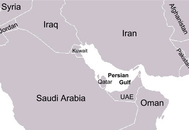
- Description:
- ~251,000 km², oil-rich.
- Formation:
- Tectonic subsidence, Arabian Plate.
- Significance:
- Global oil trade, geopolitics.
- Bay of Bengal (India, Bangladesh):
-
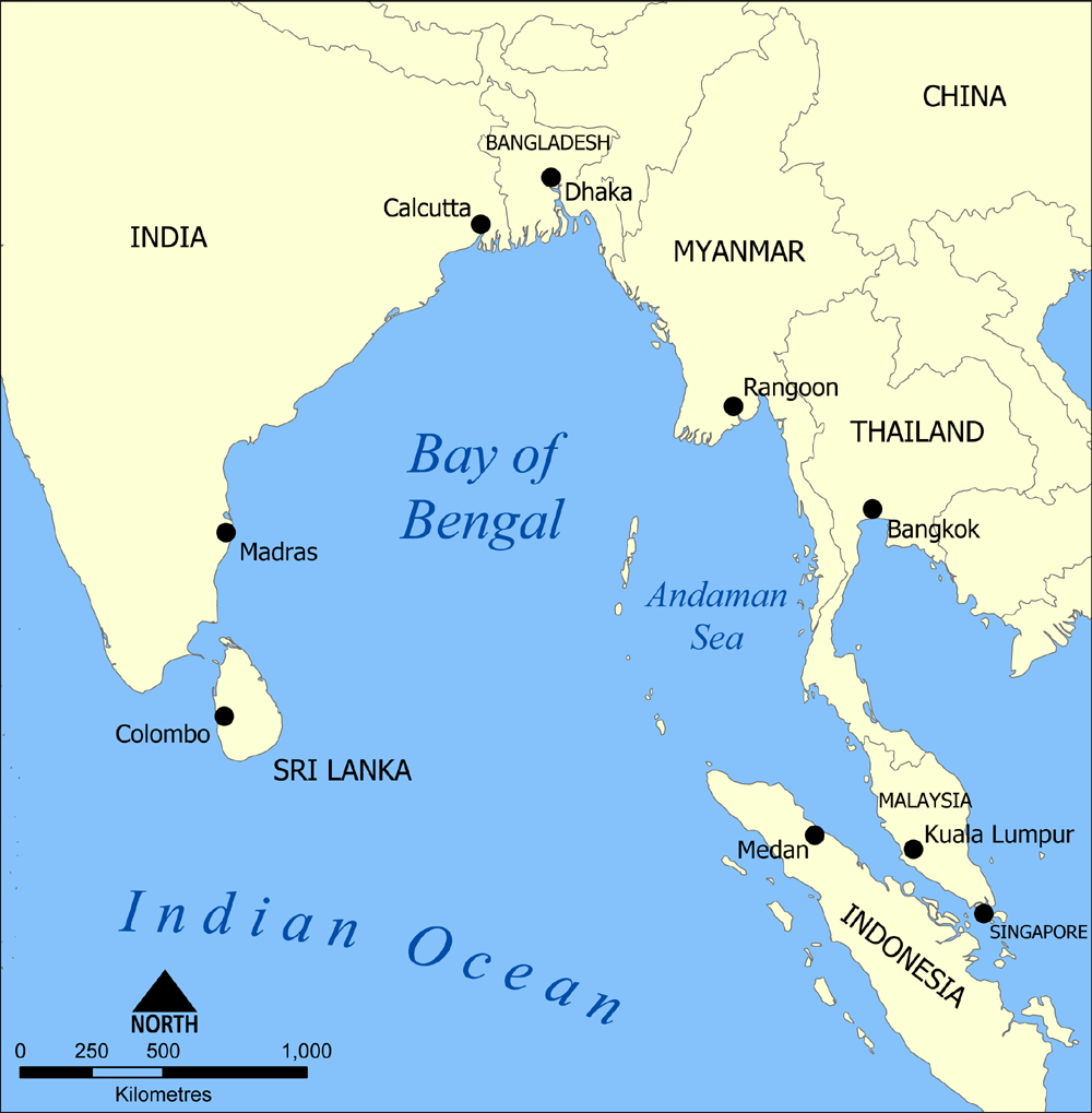
- Description:
- ~2.17 million km², monsoon-driven.
- Formation:
- Continental shelf indentation.
- Significance:
- Fisheries, cyclone risk.
- South China Sea (China, Vietnam):
-
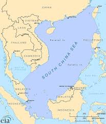
- Description:
- ~3.5 million km², disputed.
- Formation:
- Tectonic rifting, oceanic basin.
- Significance:
- Maritime trade, resource disputes.
- Islands
- Borneo
-
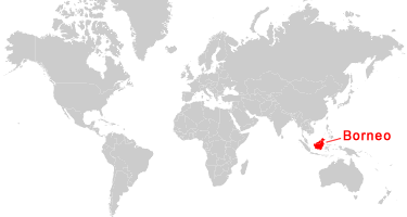
- Country:
- Indonesia, Malaysia, Brunei
- Description:
- ~743,330 km², third-largest island.
- Formation:
- Tectonic uplift, Sundaland shelf.
- Sumatra
-
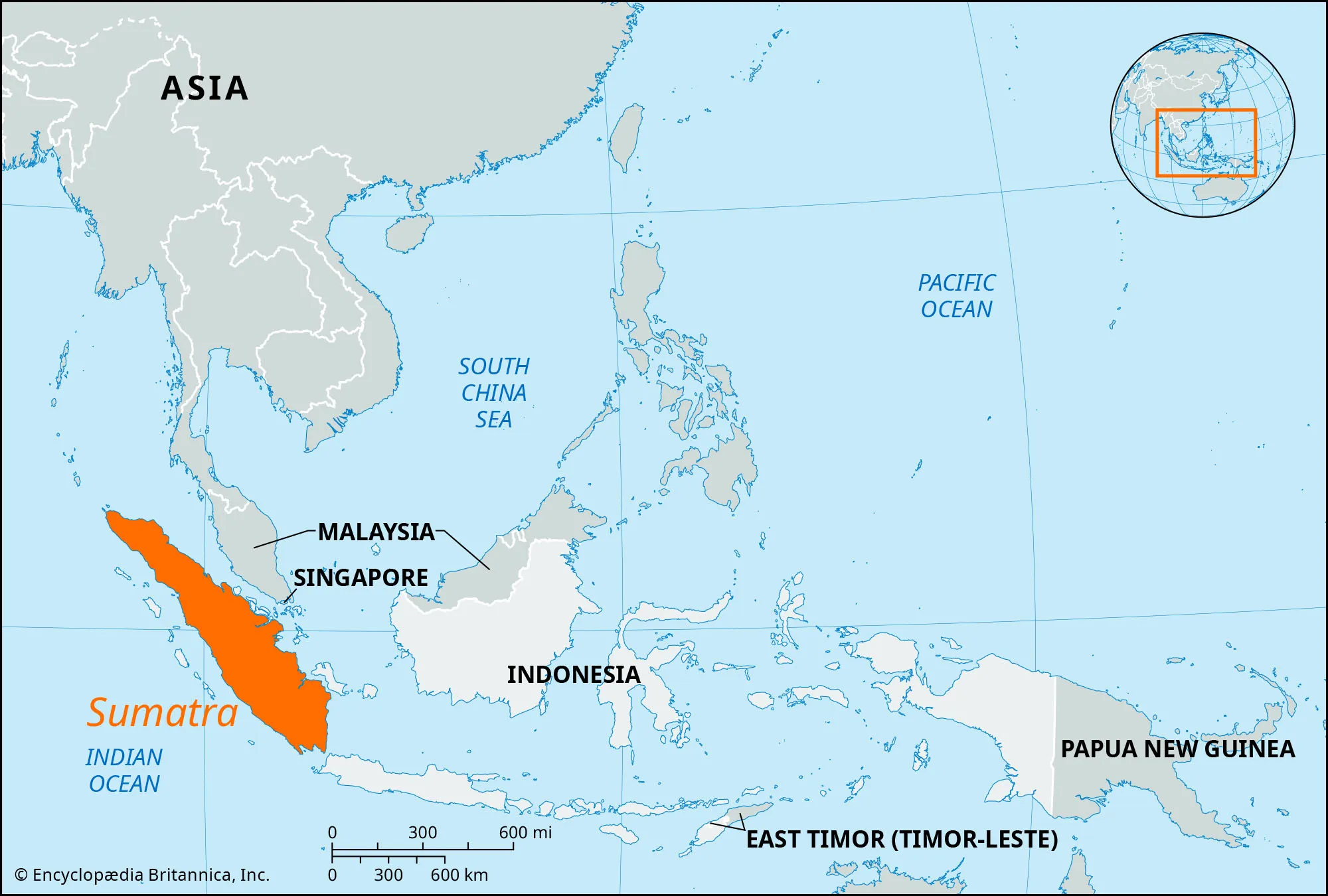
- Country:
- Indonesia
- Description:
- ~473,481 km², volcanic.
- Formation:
- Subduction along Sunda Trench.
- Honshu
-
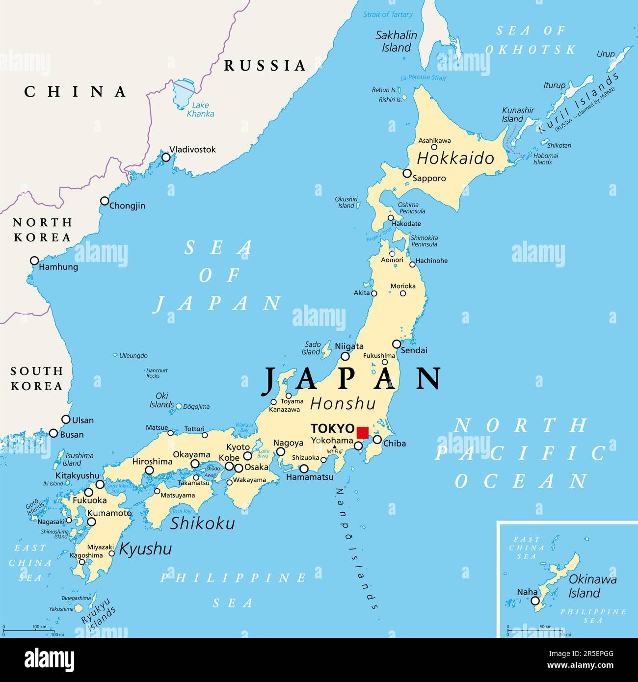
- Country:
- Japan
- Description:
- ~227,960 km², main Japanese island.
- Formation:
- Volcanic arc, Pacific Ring of Fire.
- Sri Lanka
-
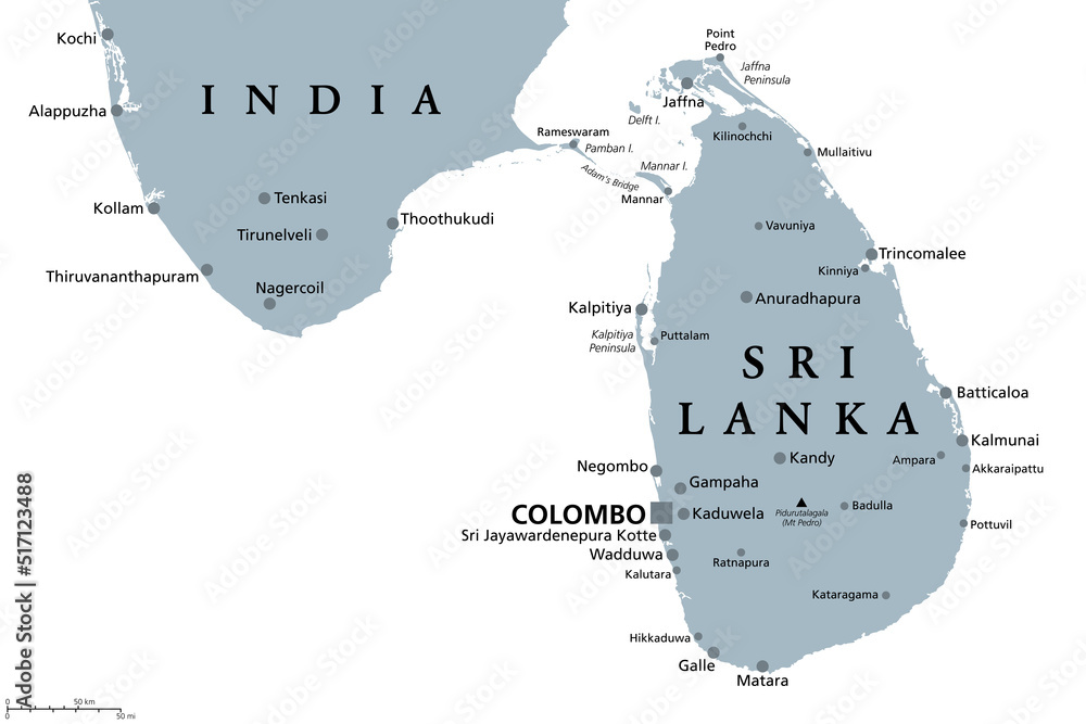
- Country:
- Sri Lanka
- Description:
- ~65,610 km², biodiversity hub.
- Formation:
- Gondwana breakup, tectonic drift.
- Maldives
-
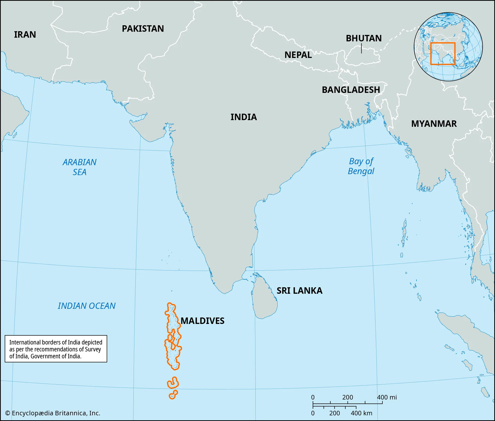
- Country:
- Maldives
- Description:
- ~298 km², coral atolls.
- Formation:
- Coral growth on volcanic seamounts.
- National Parks/Protected Areas
- Sundarbans National Park (India, Bangladesh):
-
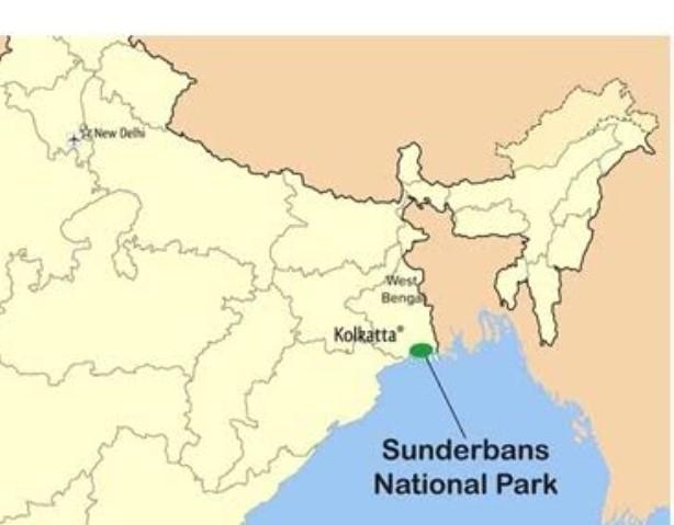
- Description:
- ~1,330 km², mangrove forest.
- Significance:
- Bengal tiger, UNESCO site.
- Jiuzhaigou National Park (China):
-
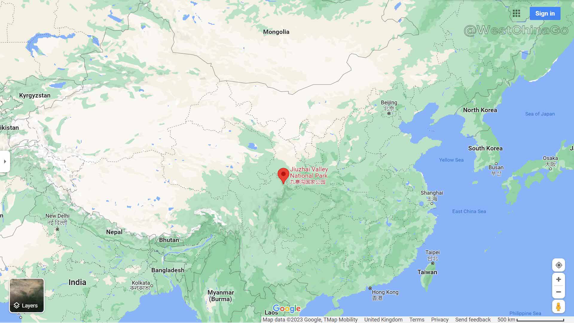
- Description:
- ~720 km², colorful lakes.
- Significance:
- Biodiversity, tourism.
- Kaziranga National Park (India):
-
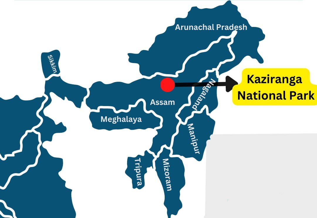
- Description:
- ~430 km², one-horned rhino.
- Significance:
- UNESCO site, conservation.
- Biodiversity Hotspots
- Western Ghats (India):
-
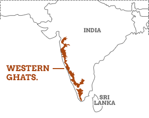
- Description:
- ~160,000 km², montane forests.
- Significance:
- Endemic species, threatened by agriculture.
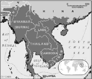
- Indo-Burma (Myanmar, Thailand):
-
- Description:
- ~2.37 million km², tropical forests.
- Significance:
- High biodiversity, deforestation risk.
- Sundaland (Indonesia, Malaysia):
-
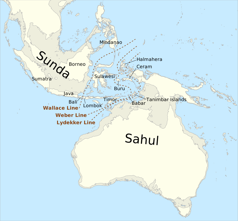
- Description:
- ~1.5 million km², islands.
- Significance:
- Orangutans, coral reefs.
- Coral reefs are not why Sundaland is a hotspot.
- Hotspot is for terrestrial rainforest endemism.
- Human Impact
- Deforestation (Borneo):
- Palm oil plantations reduce rainforest, threaten biodiversity.
- Aral Sea Shrinkage:
- Irrigation for cotton diverts rivers, causing ecological collapse.
- Air Pollution (North China Plain):
- Industrial emissions degrade air quality, health impacts.
- South China Sea Disputes:
- Reclamation and overfishing harm marine ecosystems.
- South America
-
- Overview
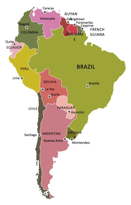
- South America, the fourth-largest continent, spans ~17.84 million km², with a population of ~430 million (2023).
- It features diverse landscapes, from the Andes to the Amazon Rainforest, shaped by tectonic subduction, equatorial climates, and vast river systems.
- Countries (12 recognized sovereign states)
- Argentina
- Capital: Buenos Aires
- Bolivia
- Capital: La Paz
- Brazil
- Capital: Brasília
- Chile
- Capital: Santiago
- Colombia
- Capital: Bogotá
- Ecuador
- Capital: Quito
- Guyana
- Capital: Georgetown
- Paraguay
- Capital: Asunción
- Peru
- Capital: Lima
- Suriname
- Capital: Paramaribo
- Uruguay
- Capital: Montevideo
- Venezuela
- Capital: Caracas
- Physiographic Divisions
- South America’s landscape is divided into five regions:
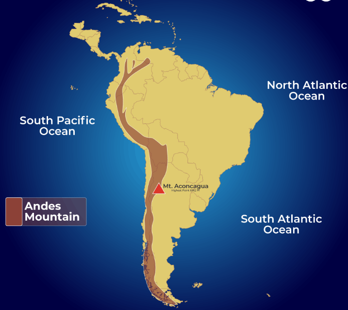
1. Andes Mountains:
-
- Description:
- Longest continental mountain range.
- Location:
- Western South America.
- Climate:
- Alpine, varying by altitude.
- Features:
- Peaks like Aconcagua, volcanic activity.
- Countries:
- Chile, Peru, Bolivia, Argentina, etc.
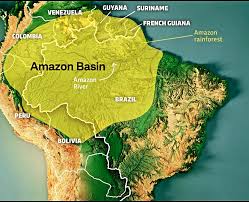
2. Amazon Basin:
-
- Description:
- World’s largest rainforest and river basin.
- Climate:
- Equatorial, hot and humid (Af in Köppen).
- Features:
- Dense forests, river networks.
- Countries:
- Brazil, Peru, Colombia, Bolivia.
3. Brazilian Highlands:
-
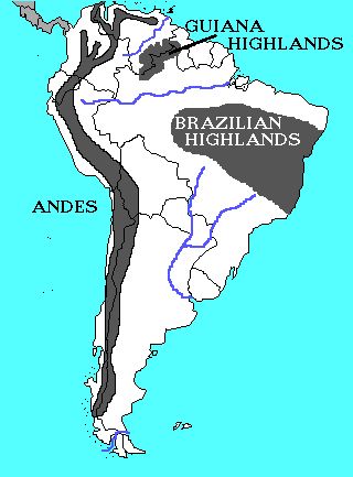
- Description:
- Elevated, eroded plateau region.
- Location:
- Eastern Brazil.
- Climate:
- Tropical to temperate.
- Features:
- Rolling hills, mineral deposits.
- Countries:
- Brazil.
4. Pampas and Patagonia:
-
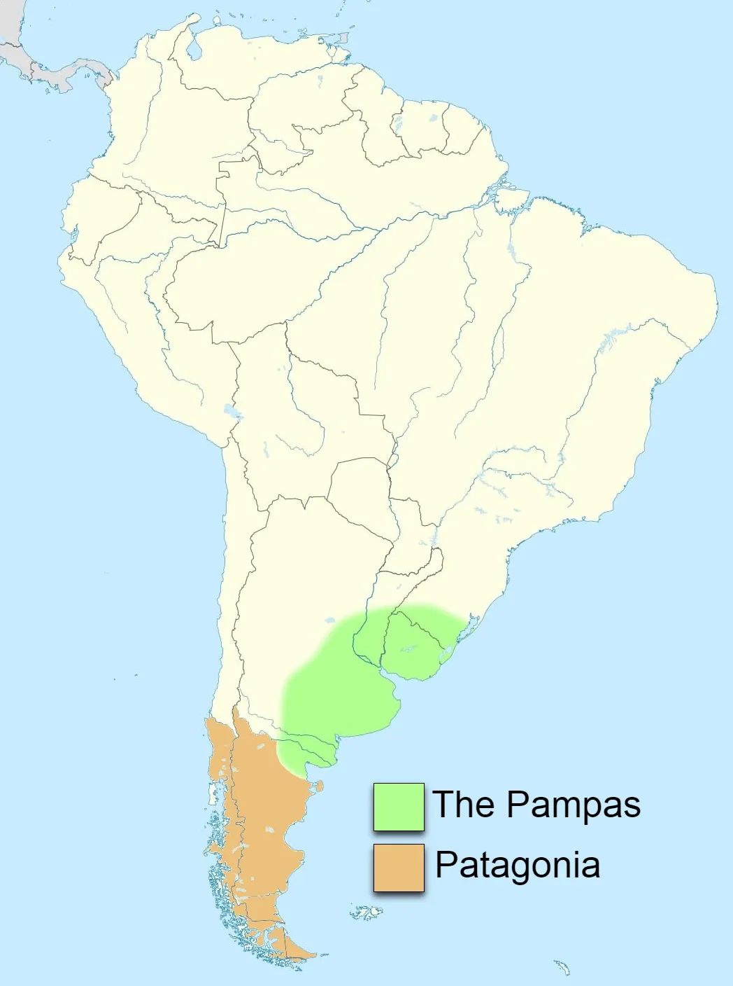
- Description:
- Fertile plains and arid plateaus.
- Location:
- Southern South America.
- Climate:
- Temperate to cold, arid in Patagonia.
- Features:
- Grasslands, steppe landscapes.
- Countries:
- Argentina, Uruguay, Chile.
5. Guiana Highlands:
-
- Description:
- Ancient, flat-topped mountains (tepuis).
- Location:
- Northern South America.
- Climate:
- Tropical, high rainfall.
- Features:
- Waterfalls, unique ecosystems.
- Countries:
- Venezuela, Guyana, Brazil.
- Formation:
- Subduction of the Nazca Plate under the South American Plate formed the Andes; erosion and deposition shaped plains and basins; equatorial rainfall created rainforests.
- Major Physical Features
- Mountain Ranges
- Andes Mountains (Chile, Peru, Bolivia):
-
- Description:
- ~7,000 km, peaks at 6,959 m (Aconcagua).
- Formation:
- Subduction of Nazca Plate, Cenozoic orogeny.
- Significance:
- Climate barrier, mineral resources.
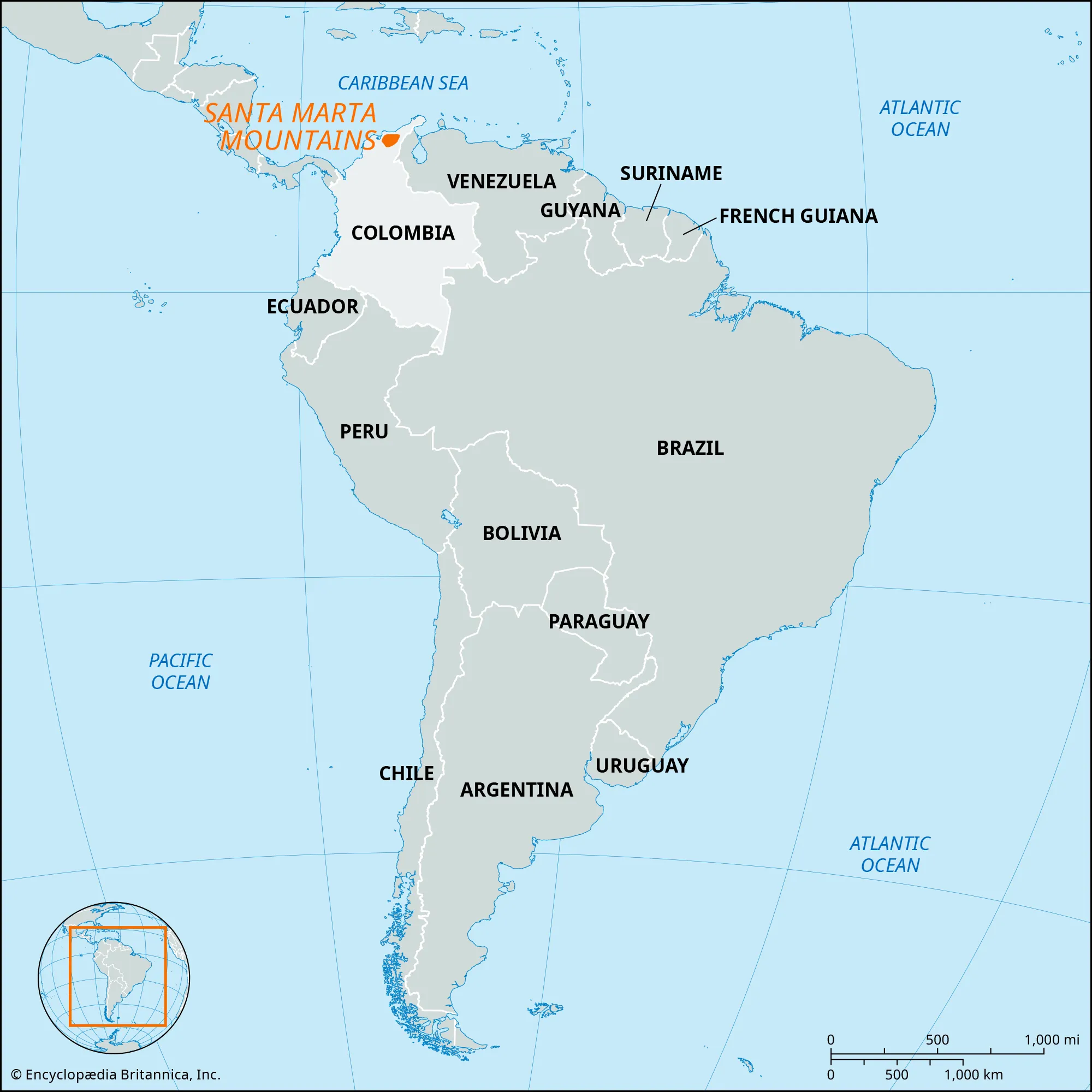
- Sierra Nevada de Santa Marta (Colombia):
-
- Description:
- ~17,000 km², peaks at 5,775 m.
- Formation:
- Tectonic uplift, isolated block.
- Significance:
- Biodiversity, indigenous cultures.
- Plateaus
- Altiplano (Bolivia, Peru):
-
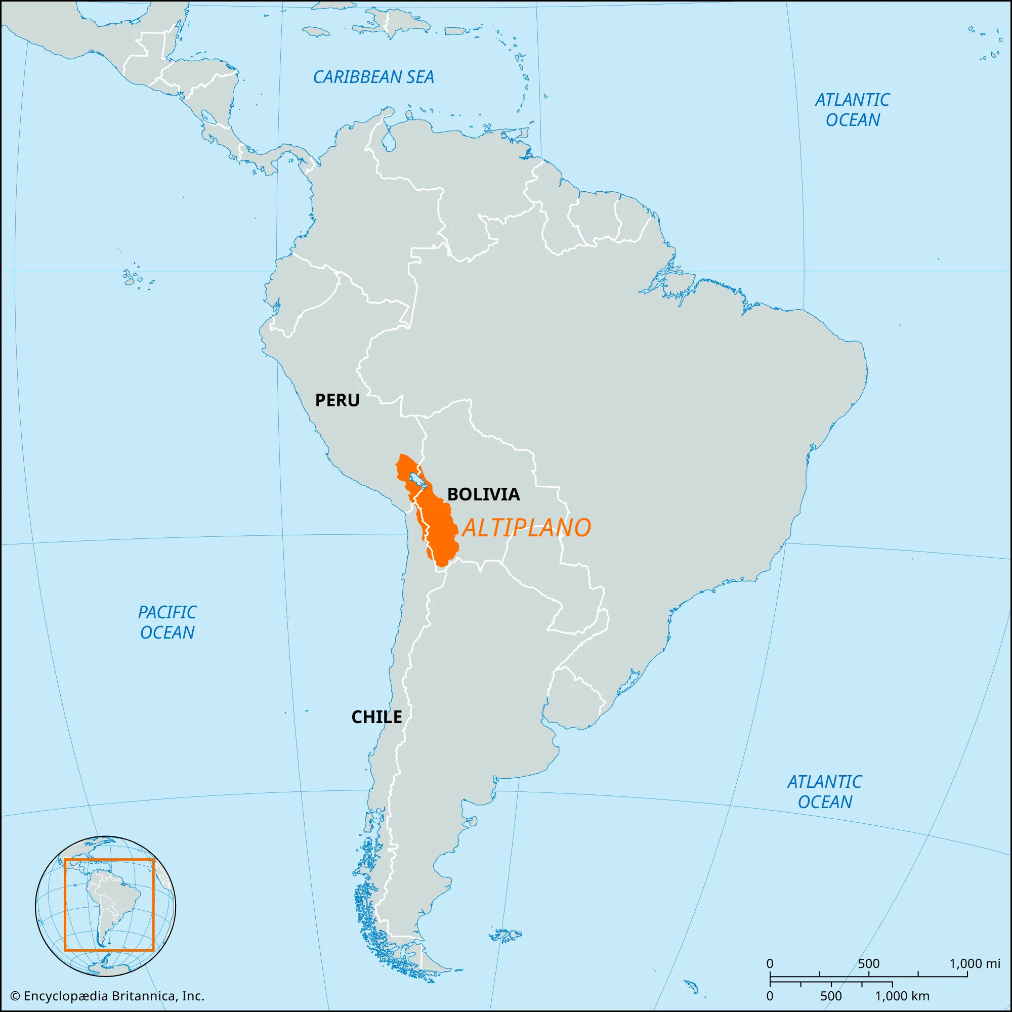
- Description:
- ~200,000 km², ~3,800 m elevation.
- Formation:
- Tectonic uplift with Andes formation.
- Significance:
- Agriculture, Lake Titicaca.
- Patagonia Plateau (Argentina, Chile):
-
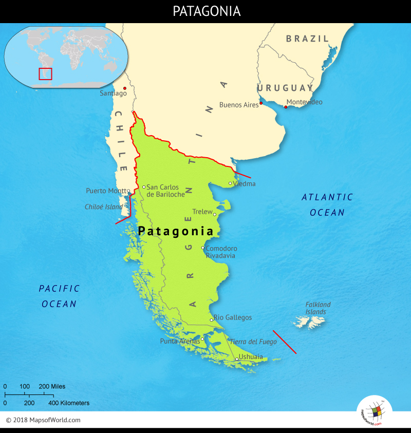
- Description:
- ~673,000 km², arid steppe.
- Formation:
- Erosion of ancient rocks, uplift.
- Significance:
- Sheep ranching, oil deposits.
- Mato Grosso Plateau (Brazil):
-
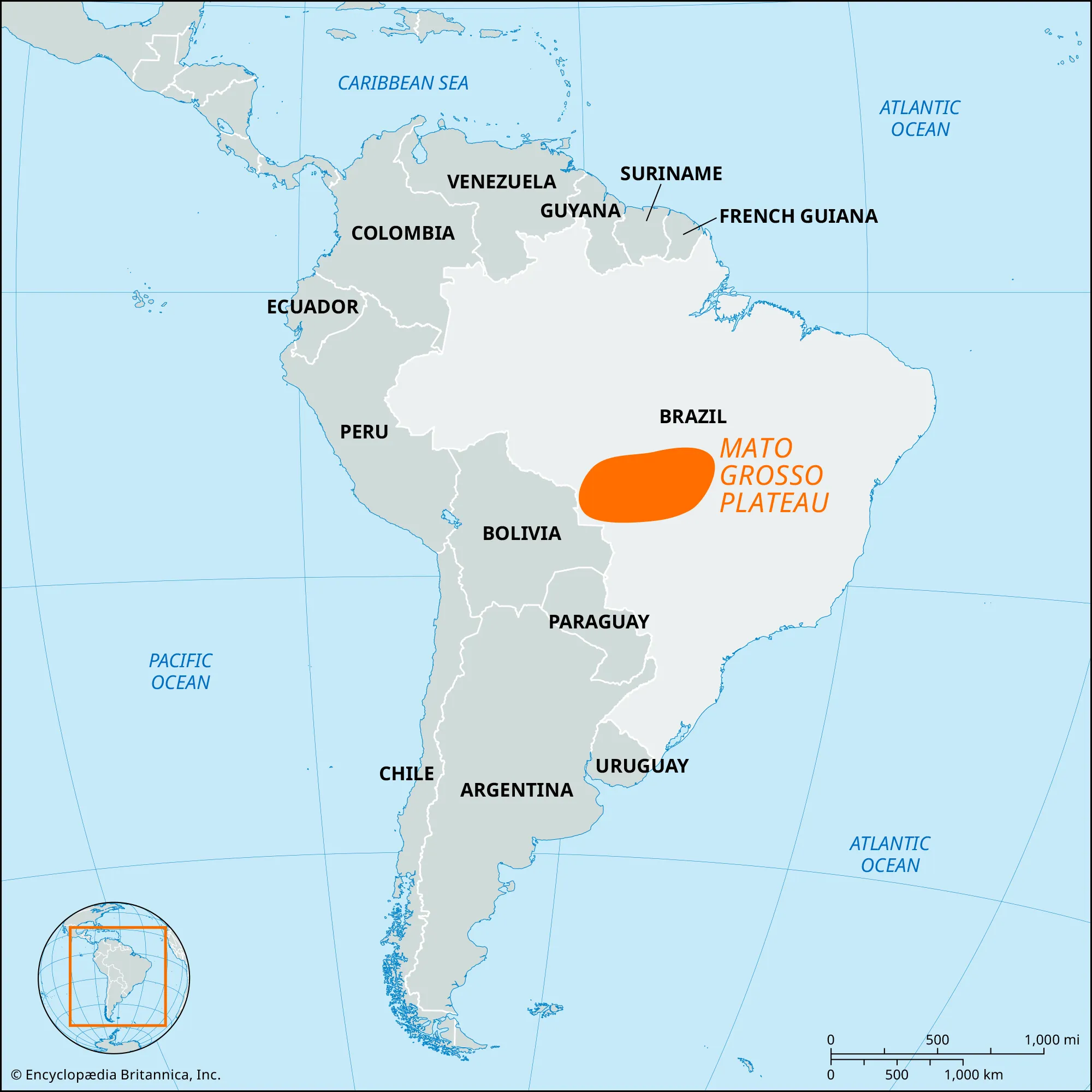
- Description:
- ~900,000 km², savanna.
- Formation:
- Erosion of Brazilian Shield.
- Significance:
- Soybean farming, cattle.
- Brazilian Highlands (Brazil):
-
- Description:
- ~4 million km², up to 2,891 m.
- They are a plateau system (shield).
- Formation:
- Ancient craton erosion, uplift.
- Significance:
- Coffee production, minerals.
- Plains
- Pampas (Argentina, Uruguay):
-
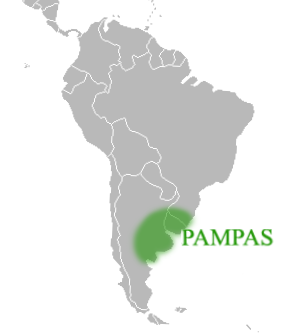
- Description:
- ~750,000 km², fertile grasslands.
- Formation:
- Alluvial deposition, windblown loess.
- Significance:
- Beef production, agriculture.
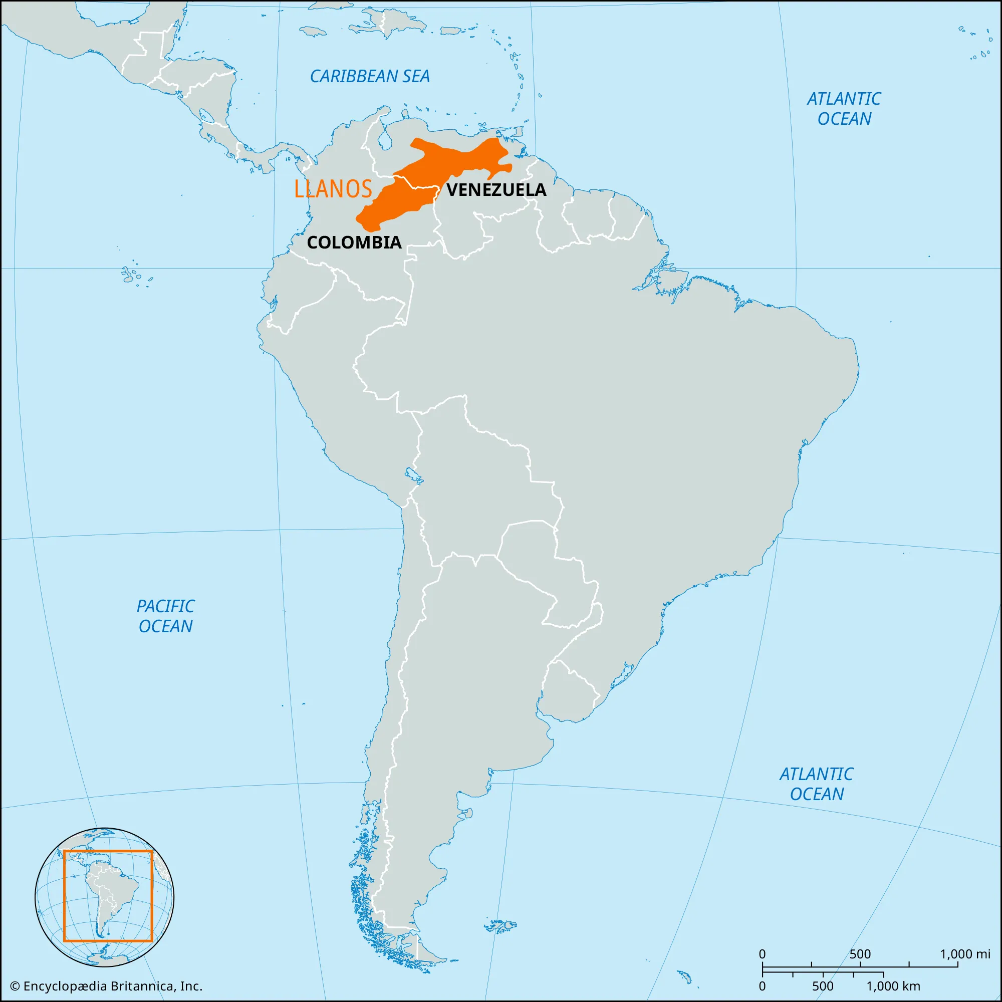
- Llanos (Colombia, Venezuela):
-
- Description:
- ~570,000 km², savanna plains.
- Formation:
- Orinoco River sediments.
- Significance:
- Cattle ranching, oil fields.
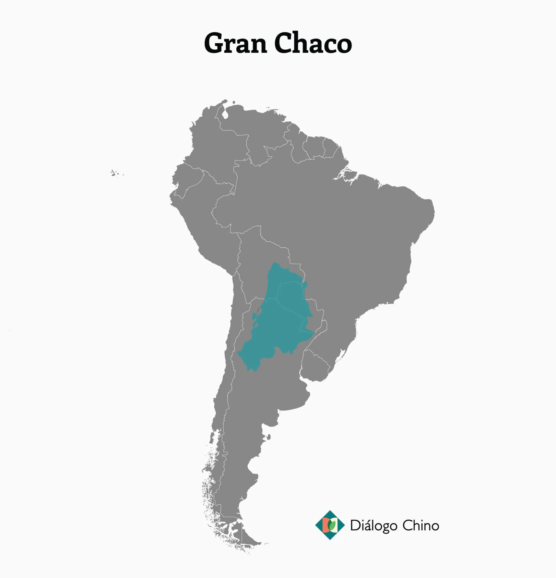
- Gran Chaco (Paraguay, Bolivia, Argentina):
-
- Description:
- ~647,000 km², semi-arid plain.
- Formation:
- Sedimentary deposition, erosion.
- Significance:
- Soy farming, deforestation.
- Deserts
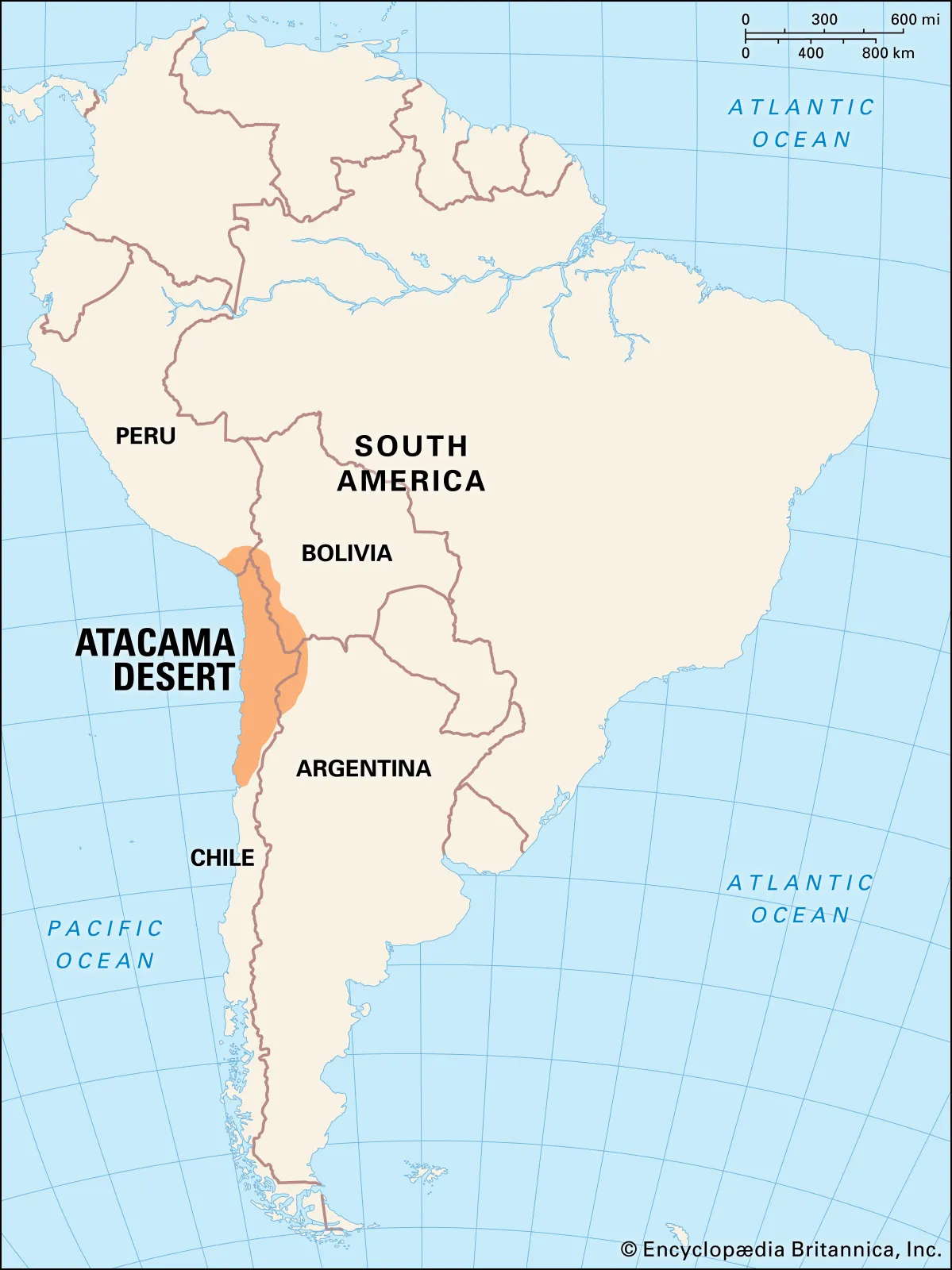
- Atacama Desert (Chile, Peru):
-
- Description:
- ~105,000 km², one of the driest desert.
- Formation:
- Cold Humboldt Current, Andean rain shadow.
- Significance:
- Copper mining, unique flora.
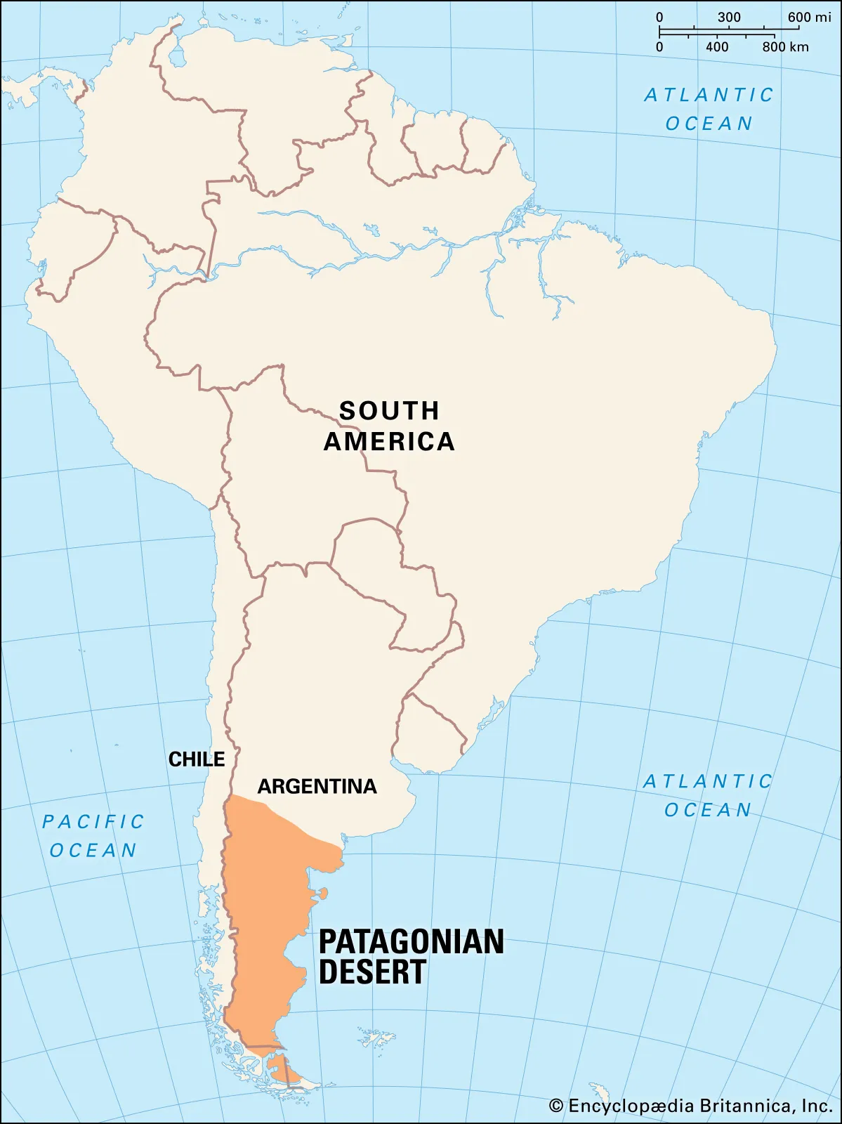
- Patagonian Desert (Argentina, Chile):
-
- Description:
- ~620,000 km², cold desert.
- Formation:
- Andean rain shadow, westerly winds.
- Significance:
- Oil, gas exploration.
- Sechura Desert (Peru):
-
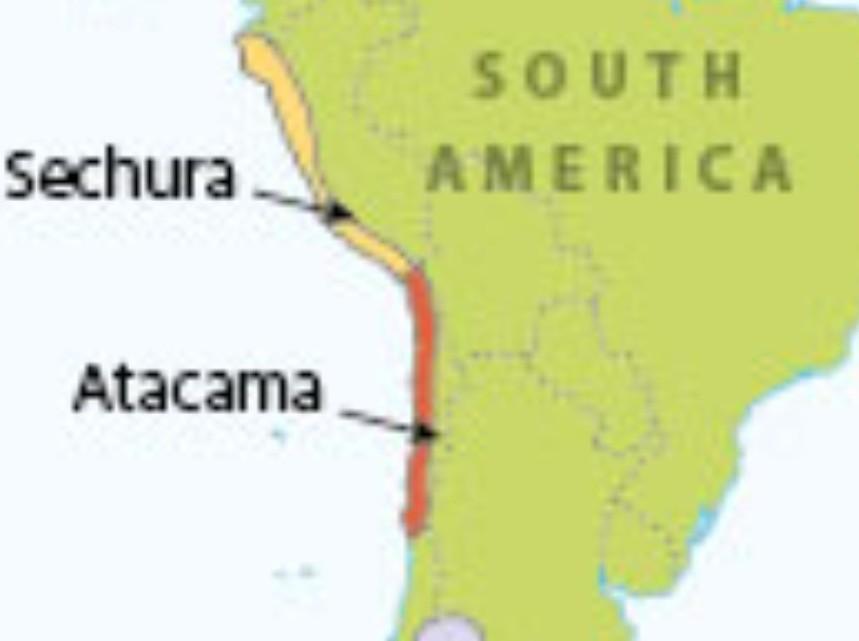
- Description:
- ~188,000 km², coastal arid zone.
- Formation:
- Cold ocean currents, minimal rainfall.
- Significance:
- Phosphate deposits, agriculture.
- Forests
- Amazon Rainforest (Brazil, Peru, Colombia):
-
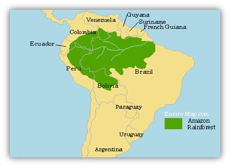
- Description:
- ~5.5 million km², largest rainforest.
- Formation:
- Equatorial rainfall, stable climate.
- Significance:
- Global carbon sink, biodiversity.
- Atlantic Forest (Brazil, Paraguay):
-
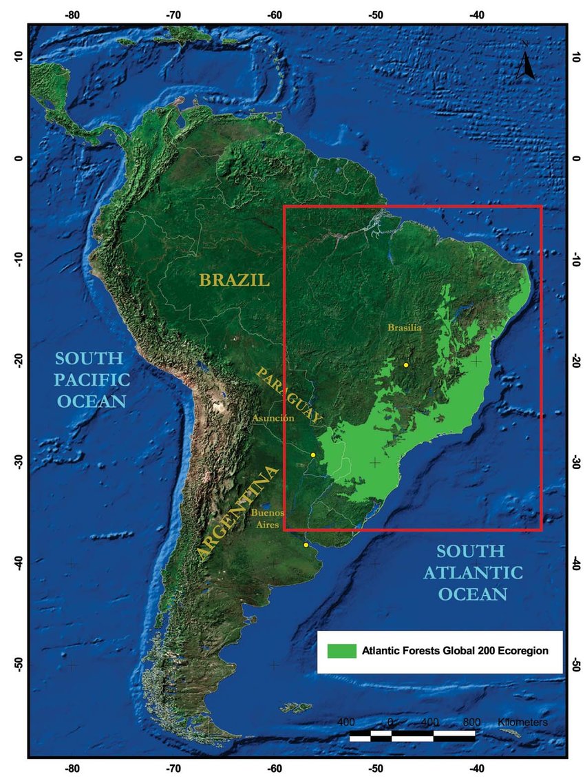
- Description:
- ~1.1 million km², coastal forest.
- Formation:
- High rainfall, orographic lift.
- Significance:
- Endemic species, heavily deforested.
- Chiquitano Dry Forest (Bolivia, Brazil):
-
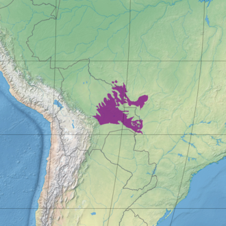
- Description:
- ~230,000 km², tropical dry forest.
- Formation:
- Seasonal rainfall, savanna transition.
- Significance:
- Unique ecosystems, cattle ranching.
- Major Water Bodies
- Rivers
- Amazon River (Brazil, Peru, Colombia):
-
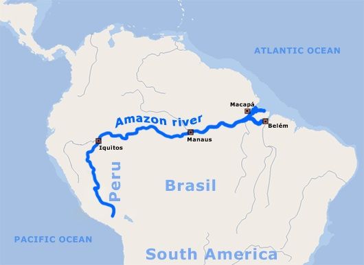
- Description:
- ~6,575 km, highest flow volume.
- Formation:
- Equatorial rainfall, Andean runoff.
- Significance:
- Global biodiversity, transport.
- Paraná River (Brazil, Paraguay, Argentina):
-
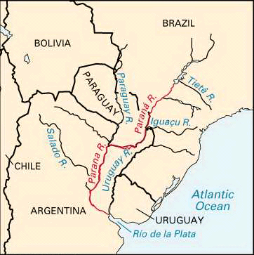
- Description:
- ~4,880 km, major waterway.
- Formation:
- Plateau drainage, alluvial deposition.
- Significance:
- Hydropower, agriculture.
- Orinoco River (Venezuela, Colombia):
-
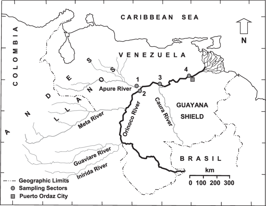
- Description:
- ~2,250 km, savanna drainage.
- Formation:
- Guiana Highlands runoff.
- Significance:
- Oil transport, fisheries.
- Lakes
- Lake Titicaca (Peru, Bolivia):
-
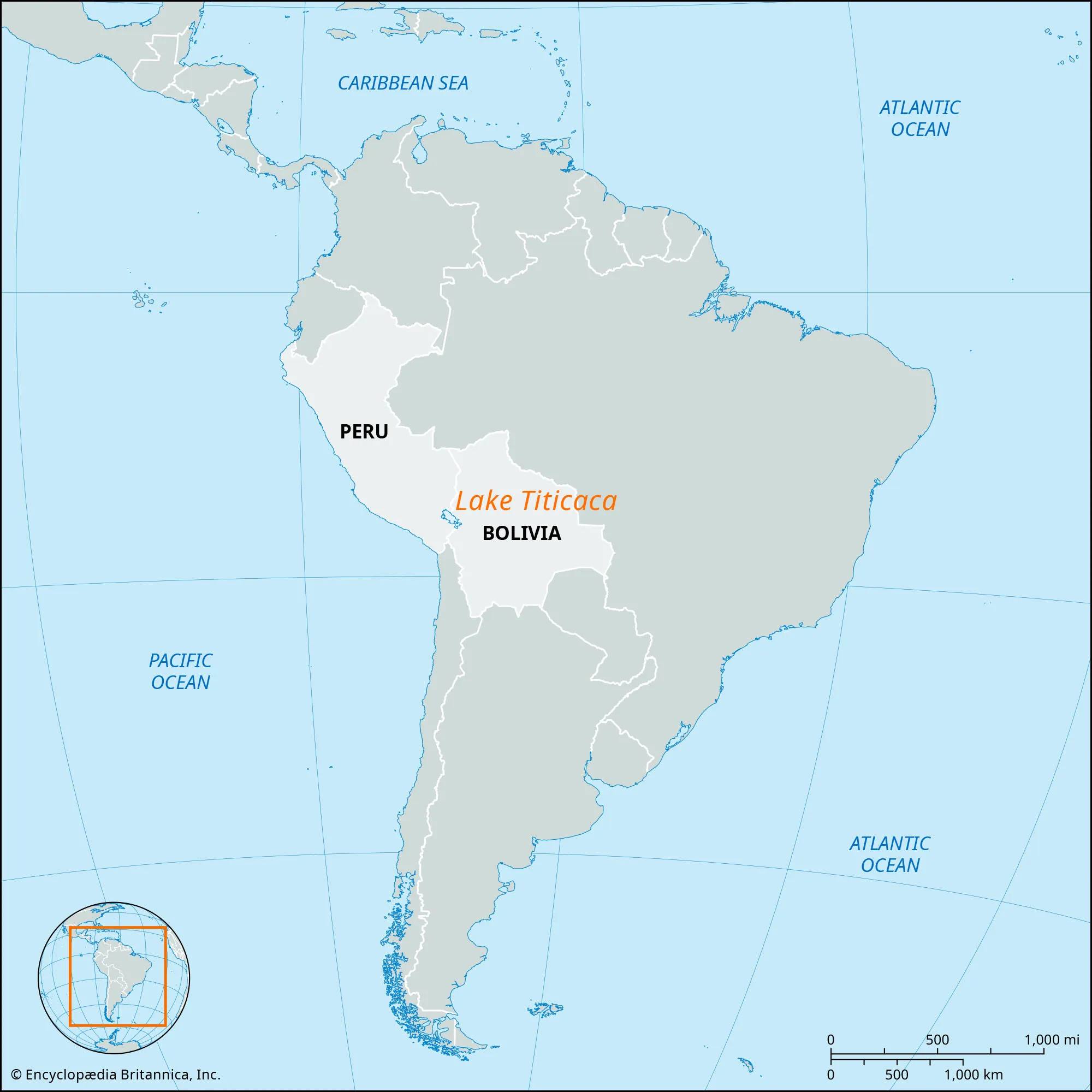
- Description:
- ~8,372 km², highest navigable lake.
- Formation:
- Tectonic basin in Altiplano.
- Significance:
- Indigenous cultures, tourism.
- Lake Maracaibo (Venezuela):
-
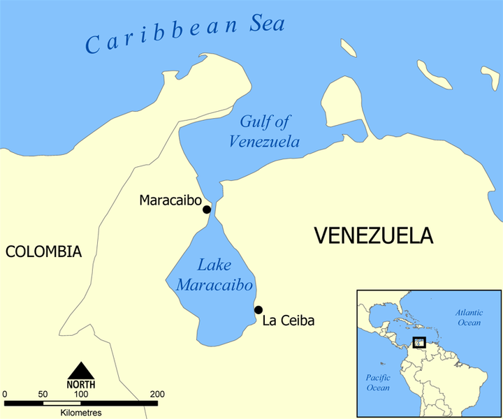
- Description:
- ~13,210 km², brackish lake.
- Formation:
- Tectonic depression, river-fed.
- Significance:
- Oil production, shipping.
- General Carrera Lake (Chile, Argentina):
-
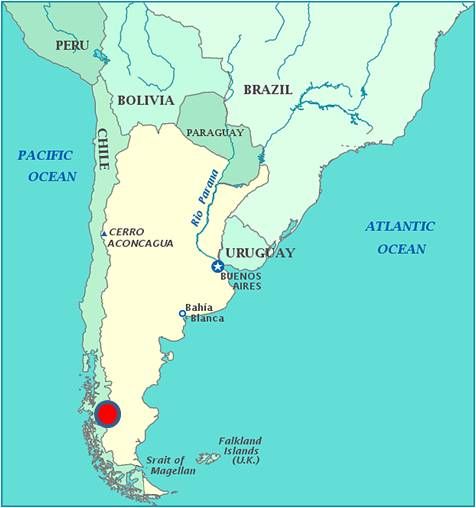
- Description:
- ~1,850 km², glacial lake.
- Formation:
- Glacial erosion in Andes.
- Significance:
- Scenic tourism, hydropower.
- Basins
- Amazon Basin (Brazil, Peru, Colombia):
-
- Description:
- ~7 million km², largest river basin.
- Formation:
- Tectonic subsidence, sediment accumulation.
- Significance:
- Rainforest, global climate regulation.
- La Plata Basin (Brazil, Argentina, Paraguay):
-
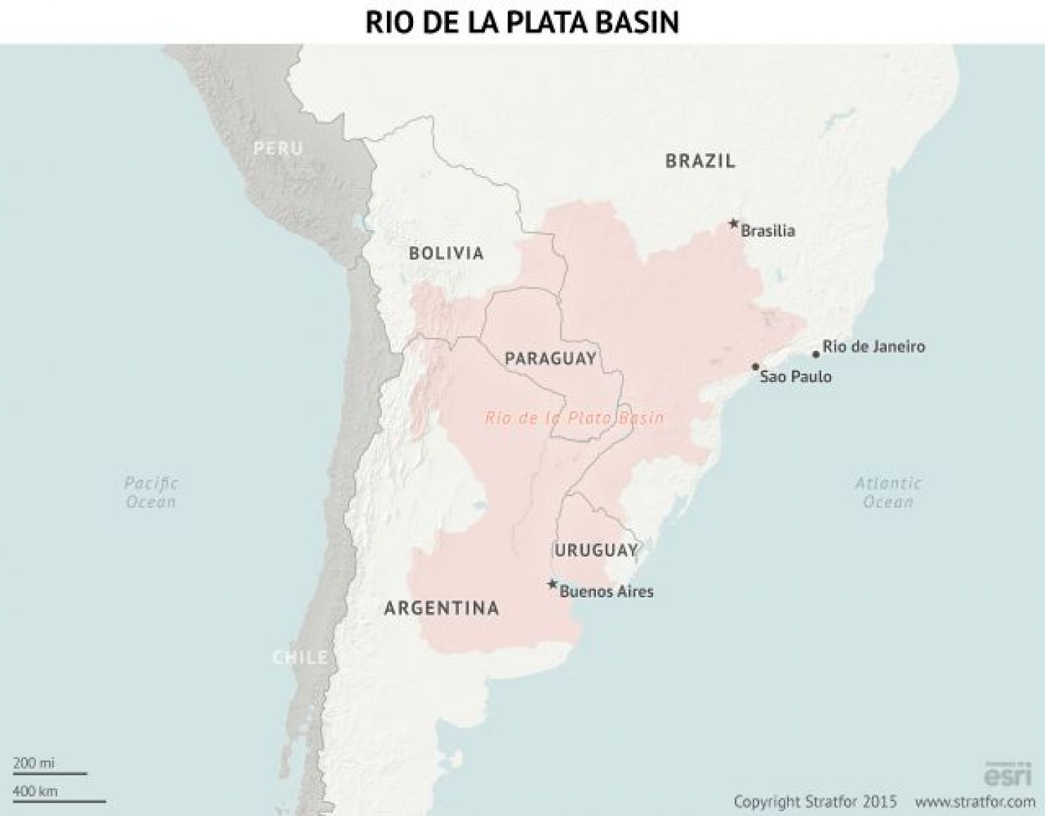
- Description:
- ~3.1 million km², fertile.
- Formation:
- Alluvial deposition, river networks.
- Significance:
- Agriculture, urban centers.
- Orinoco Basin (Venezuela, Colombia):
-
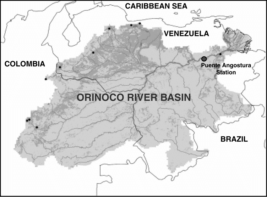
- Description:
- ~1 million km², savanna.
- Formation:
- Sedimentary deposition, tectonic.
- Significance:
- Oil, biodiversity.
- Gulfs
- Gulf of Guayaquil (Ecuador):
-
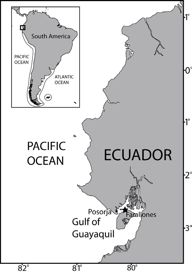
- Description:
- ~12,000 km², Pacific coast.
- Formation:
- Continental shelf indentation.
- Significance:
- Shrimp farming, port.
- Gulf of Venezuela (Venezuela, Colombia):
-
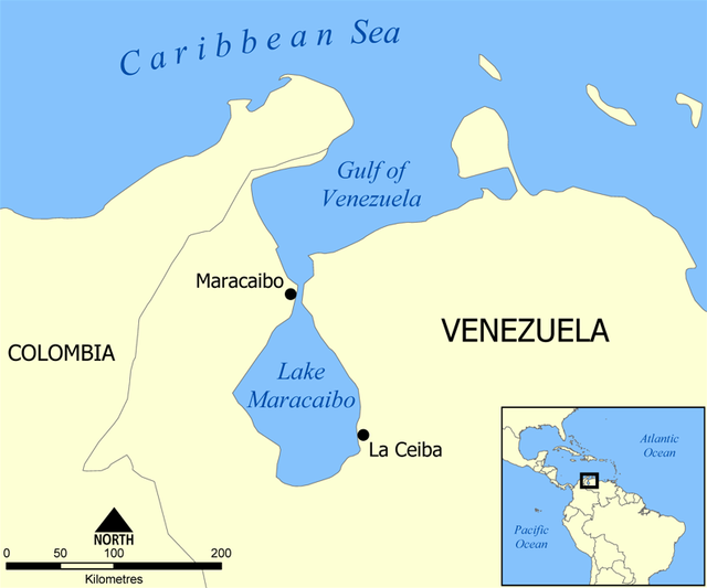
- Description:
- ~17,840 km², Caribbean link.
- Formation:
- Tectonic subsidence, coastal erosion.
- Significance:
- Oil exports, shipping.
- San Matías Gulf (Argentina):
-
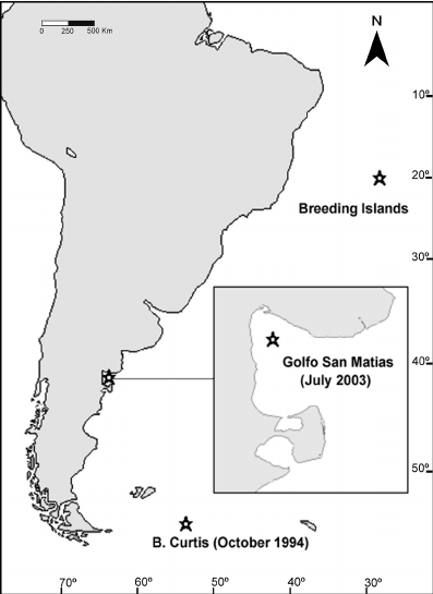
- Description:
- ~14,000 km², Atlantic coast.
- Formation:
- Coastal indentation, tectonic stability.
- Significance:
- Fisheries, tourism.
- Islands
- Galápagos Islands
-
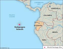
- Country:
- Ecuador
- Description:
- ~7,880 km², volcanic archipelago.
- Formation:
- Hotspot volcanism, Pacific Plate.
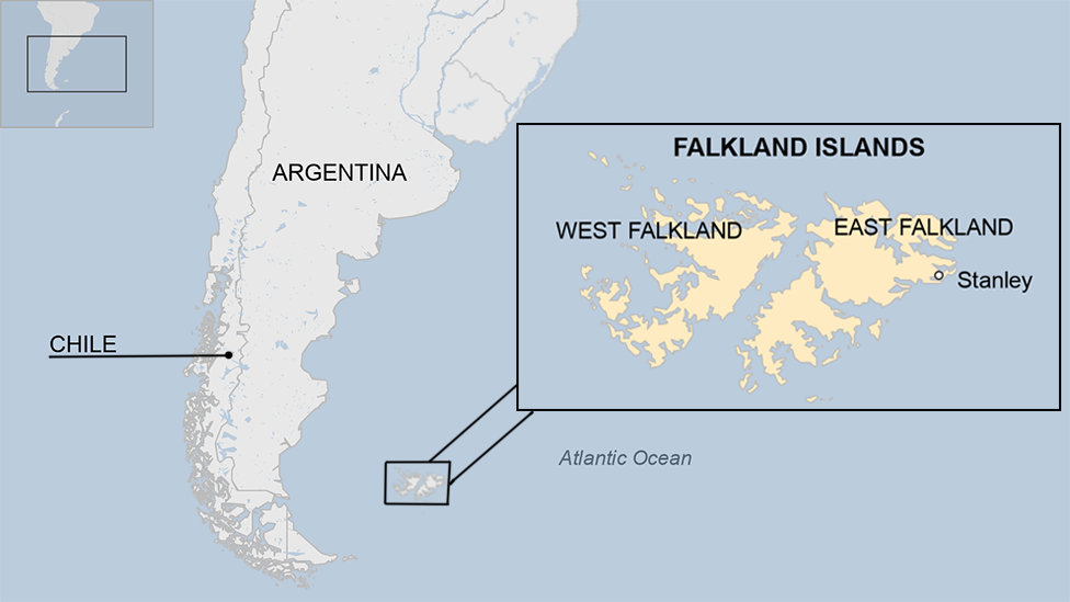
- Falkland Islands
-
- Country:
- United Kingdom (disputed by Argentina)
- Description:
- ~12,173 km², rugged terrain.
- Formation:
- Tectonic separation from Gondwana.
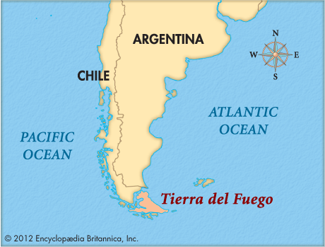
- Tierra del Fuego
-
- Country:
- Chile, Argentina
- Description:
- ~48,100 km², southern tip.
- Formation:
- Tectonic uplift, glacial erosion.
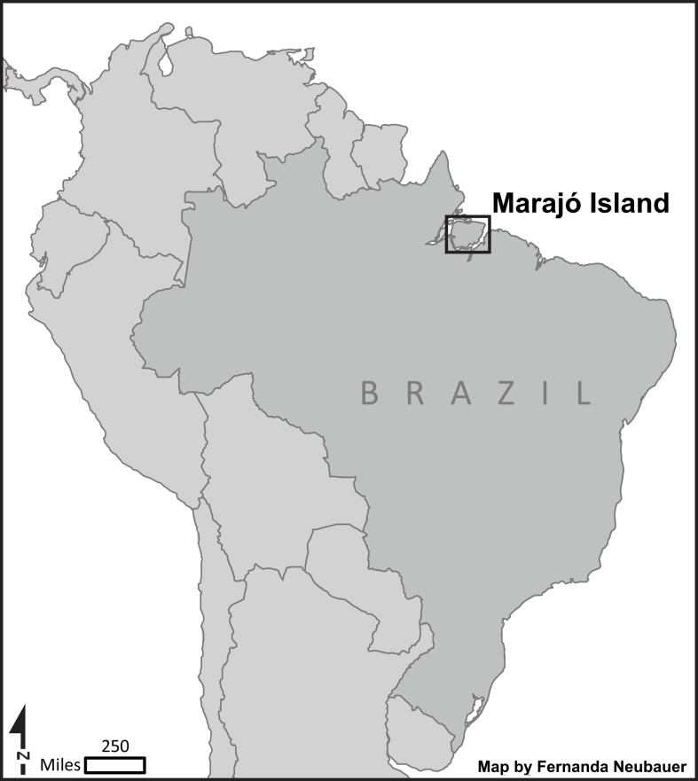
- Marajó Island
-
- Country:
- Brazil
- Description:
- ~40,100 km², Amazon delta.
- Formation:
- Alluvial deposition, river sediments.
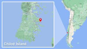
- Chiloé Island
-
- Country:
- Chile
- Description:
- ~8,394 km², temperate forest.
- Formation:
- Glacial erosion, tectonic uplift.
- National Parks/Protected Areas
- Amazon National Park (Brazil):
-
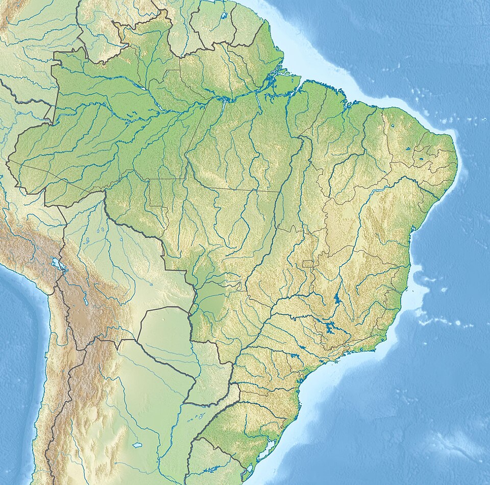
- Description:
- ~9,940 km², rainforest reserve.
- Significance:
- Biodiversity, carbon storage.
- Galápagos National Park (Ecuador):
-
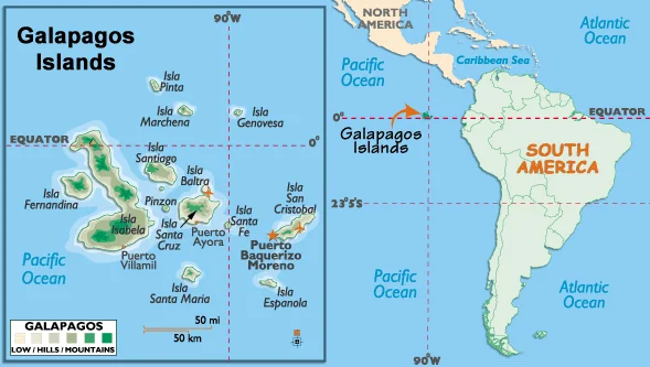
- Description:
- ~7,970 km², unique species.
- Significance:
- UNESCO site, Darwin’s research.
- Los Glaciares National Park (Argentina):
-
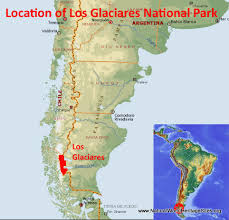
- Description:
- ~7,269 km², Patagonian glaciers.
- Significance:
- Tourism, climate research.
- Biodiversity Hotspots
- Amazon Basin (Brazil, Peru):
-
- Description:
- ~7 million km², highest biodiversity.
- This is wrong by definition. Amazon does not qualify because it is still too intact. But included just to show it's immportant to wildlife.
- Conservation International hotspots must:
- Have ≥1500 endemic plants
- Have lost ≥70% original vegetation
- Significance:
- Endemic species, deforestation threat.
- Atlantic Forest (Brazil, Paraguay):
-
- Description:
- ~1.1 million km², fragmented.
- Significance:
- Unique fauna, urban pressure.
- Tropical Andes (Peru, Bolivia):
-
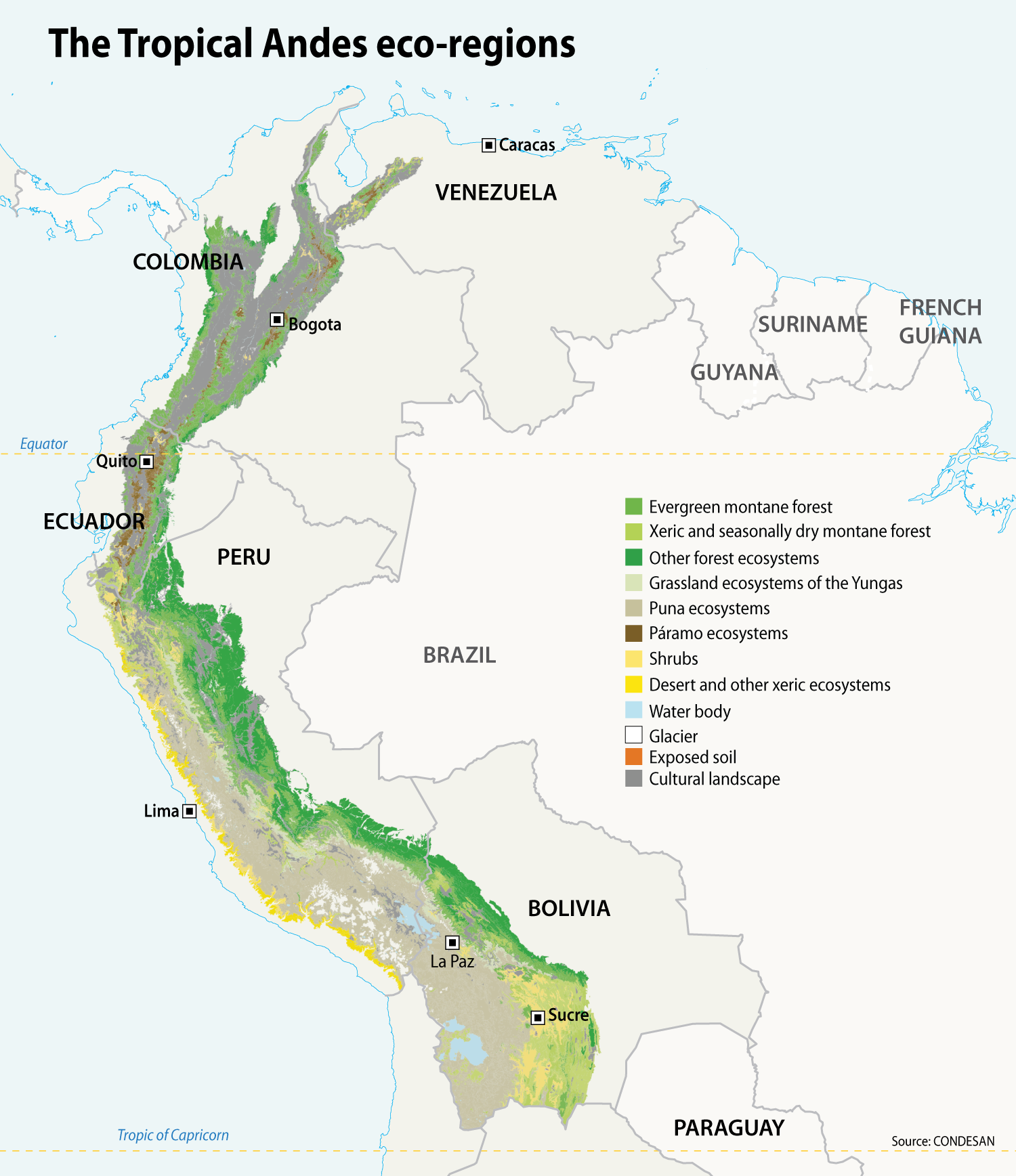
- Description:
- ~1.5 million km², montane ecosystems.
- Significance:
- Endemic plants, mining impact.
- Human Impact
- Deforestation (Amazon):
- Logging and agriculture reduce forest cover, impacting climate.
- Mining (Andes):
- Copper and lithium extraction degrades ecosystems.
- Urbanization (Pampas):
- Agricultural expansion reduces native grasslands.
- Oil Spills (Gulf of Venezuela):
- Pollution harms marine life, fisheries.
- North America
-
- Overview
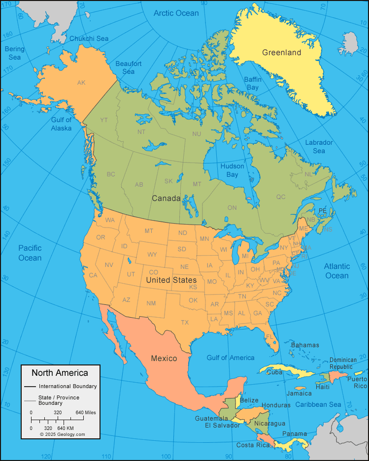
- North America, the third-largest continent, spans ~24.71 million km², with a population of ~590 million (2023).
- It features diverse landscapes, from the Rocky Mountains to the Great Plains, shaped by tectonic activity, glacial processes, and varied climates.
- Countries (23 recognized sovereign states)
- Antigua and Barbuda
- Capital: St. John’s
- Bahamas
- Capital: Nassau
- Barbados
- Capital: Bridgetown
- Belize
- Capital: Belmopan
- Canada
- Capital: Ottawa
- Costa Rica
- Capital: San José
- Cuba
- Capital: Havana
- Dominica
- Capital: Roseau
- Dominican Republic
- Capital: Santo Domingo
- El Salvador
- Capital: San Salvador
- Grenada
- Capital: St. George’s
- Guatemala
- Capital: Guatemala City
- Haiti
- Capital: Port-au-Prince
- Honduras
- Capital: Tegucigalpa
- Jamaica
- Capital: Kingston
- Mexico
- Capital: Mexico City
- Nicaragua
- Capital: Managua
- Panama
- Capital: Panama City
- Saint Kitts and Nevis
- Capital: Basseterre
- Saint Lucia
- Capital: Castries
- Saint Vincent and the Grenadines
- Capital: Kingstown
- Trinidad and Tobago
- Capital: Port of Spain
- United States
- Capital: Washington, D.C.
- Physiographic Divisions
- North America’s landscape is divided into six regions:
1. Appalachian Highlands:
-
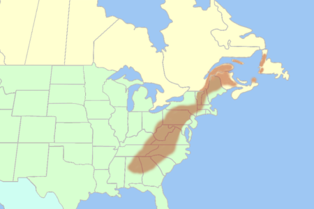
- Description:
- Ancient, eroded mountain range.
- Location:
- Eastern North America.
- Climate:
- Temperate, humid continental.
- Features:
- Rolling hills, forested ridges.
- Countries:
- United States, Canada.
2. Interior Plains:
-
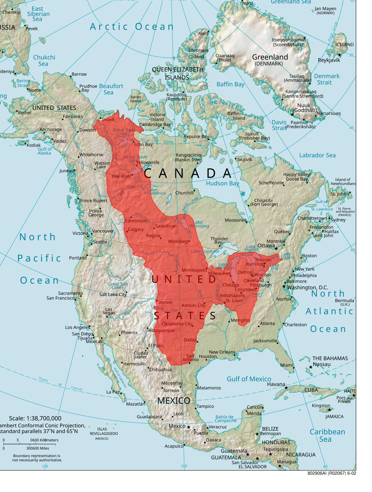
- Description:
- Vast flatlands, including Great Plains.
- Climate:
- Continental, semi-arid to humid.
- Features:
- Grasslands, farmlands.
- Countries:
- United States, Canada.
3. Rocky Mountains:
-
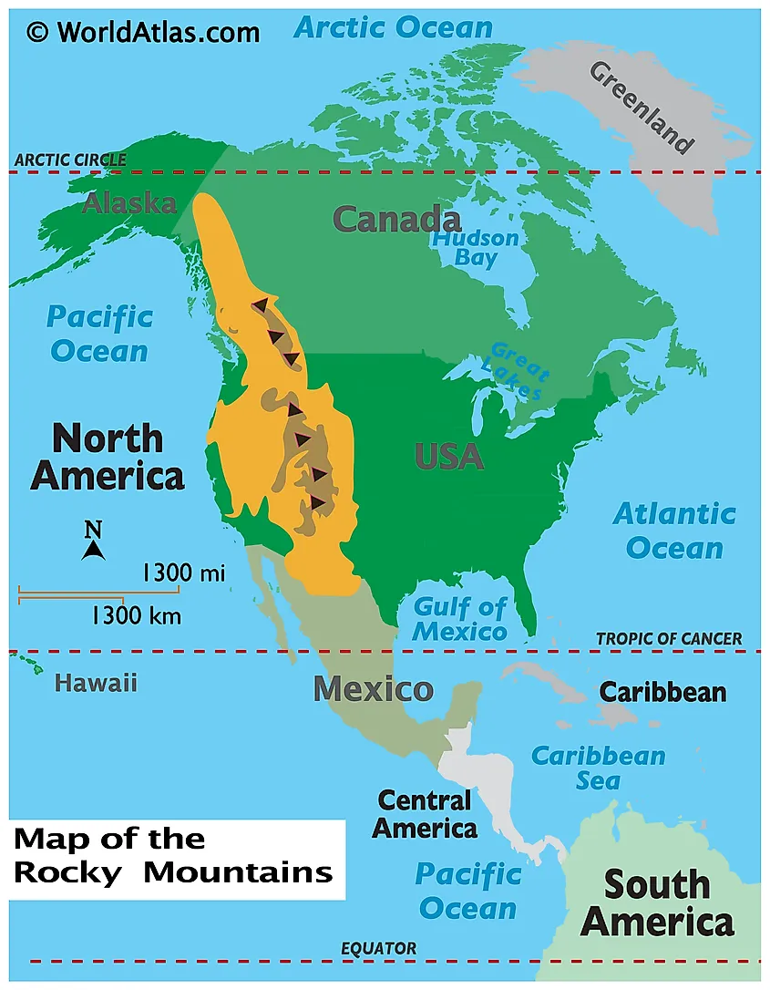
- Description:
- Rugged, high mountain ranges.
- Location:
- Western North America.
- Climate:
- Alpine, cold.
- Features:
- Peaks, glaciers, valleys.
- Countries:
- United States, Canada.
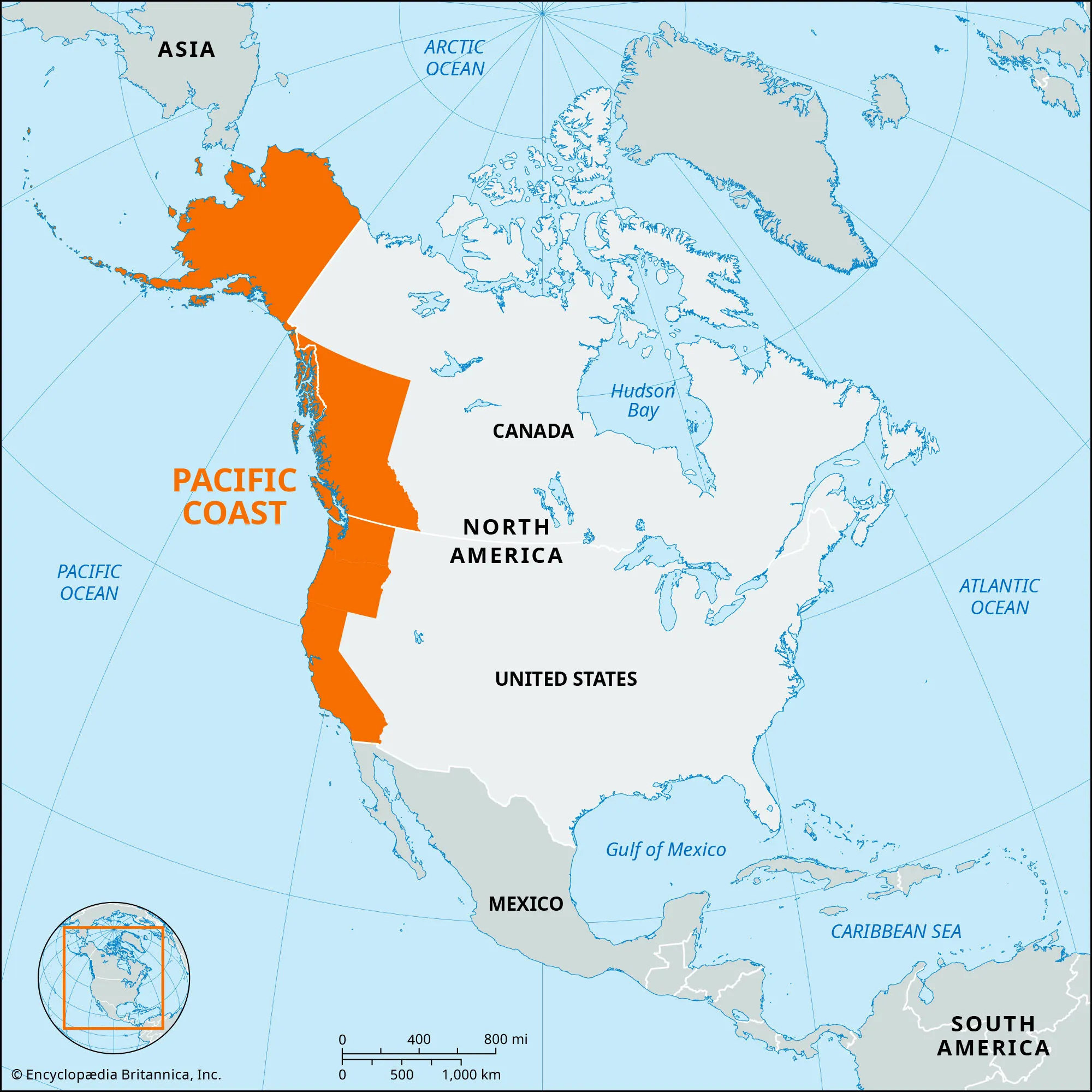
4. Pacific Coast Ranges:
-
- Description:
- Volcanic and tectonic mountains.
- This lumps together:
- Coast Ranges
- Cascades
- Sierra Nevada
- Location:
- Western coast.
- Climate:
- Temperate to Mediterranean.
- Features:
- Volcanoes, coastal cliffs.
- Countries:
- United States, Canada, Mexico.
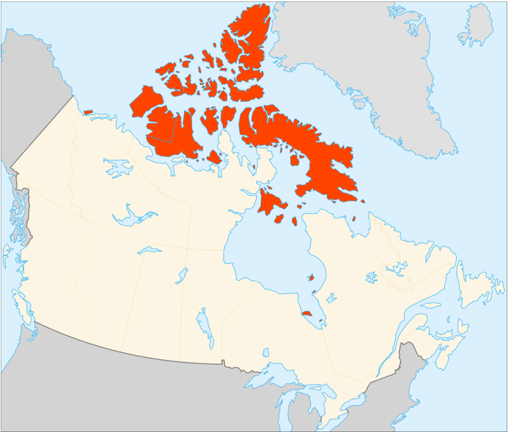
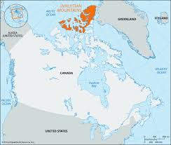
5. Arctic Lowlands:
-
-
- Description:
- Tundra and permafrost regions.
- Location:
- Northern Canada, Greenland.
- Climate:
- Polar (ET in Köppen).
- Features:
- Ice caps, sparse vegetation.
- Countries:
- Canada, Alaska (USA), Greenland (Denmark).
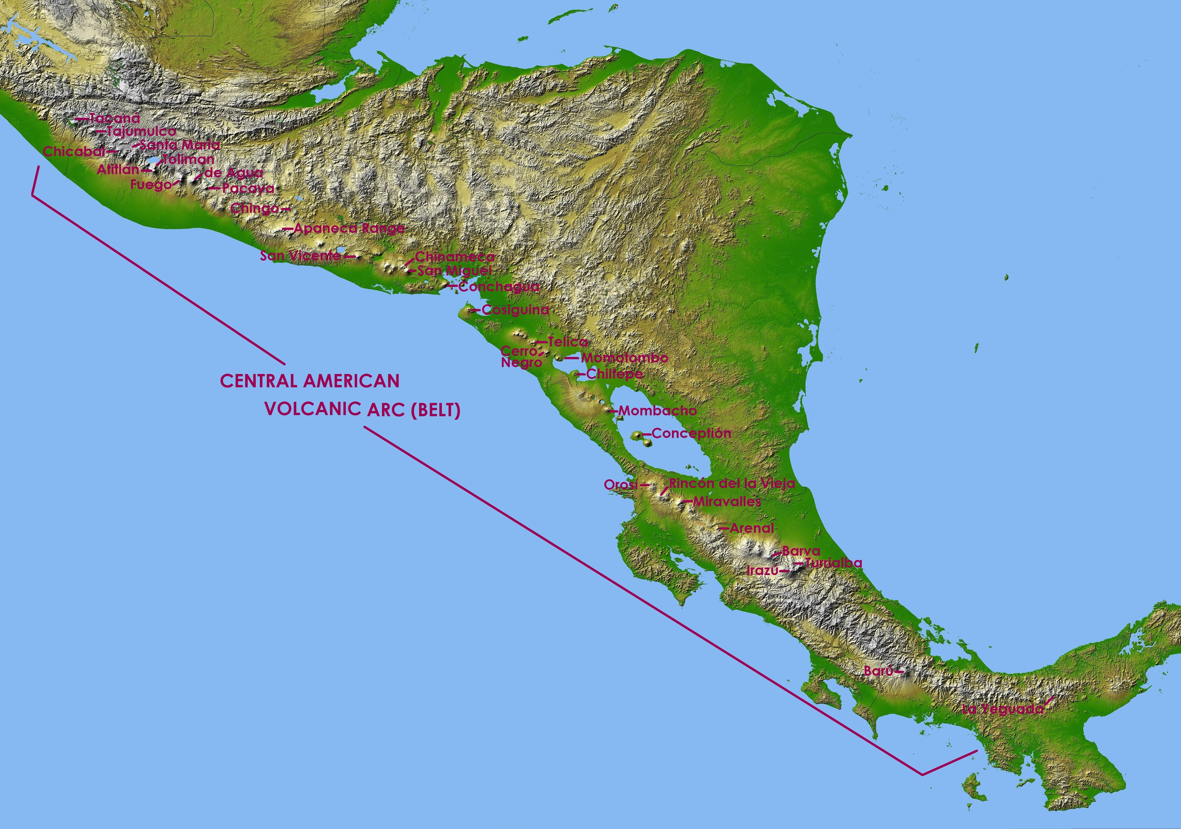
6. Central American Highlands:
-
- Description:
- Volcanic mountains and plateaus.
- Location:
- Southern North America.
- Climate:
- Tropical to temperate.
- Features:
- Volcanoes, coffee plantations.
- Countries:
- Guatemala, Costa Rica, Panama.
- Formation:
- Tectonic collisions formed mountains; glacial erosion shaped plains and lakes; varied climates created diverse ecosystems.
- Major Physical Features
- Mountain Ranges
- Rocky Mountains (United States, Canada):
-
- Description:
- ~4,800 km, peaks at 4,401 m (Elbert).
- Formation:
- Laramide orogeny, tectonic collision.
- Significance:
- Mineral resources, tourism.
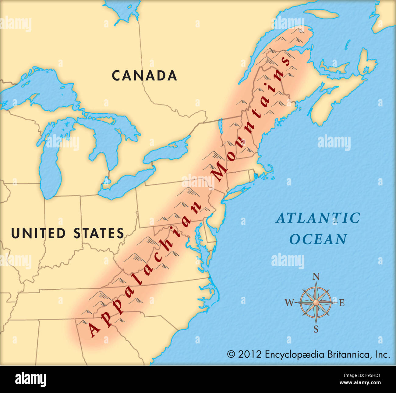
- Appalachian Mountains (United States, Canada):
-
- Description:
- ~2,400 km, peaks at 2,037 m.
- Formation:
- Paleozoic orogeny, erosion.
- Significance:
- Forests, coal deposits.
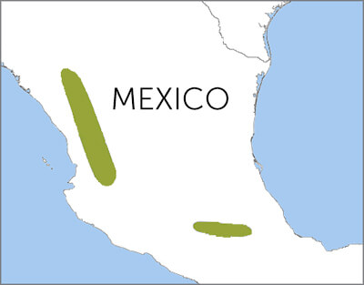
- Sierra Madre (Mexico):
-
- Description:
- ~3,000 km, volcanic peaks.
- Sierra Madre is not one range. It is:
- Sierra Madre Occidental
- Sierra Madre Oriental
- Sierra Madre del Sur
- Combined system > 3,000 km.
- Formation:
- Tectonic uplift, subduction.
- Significance:
- Biodiversity, agriculture.
- Plateaus
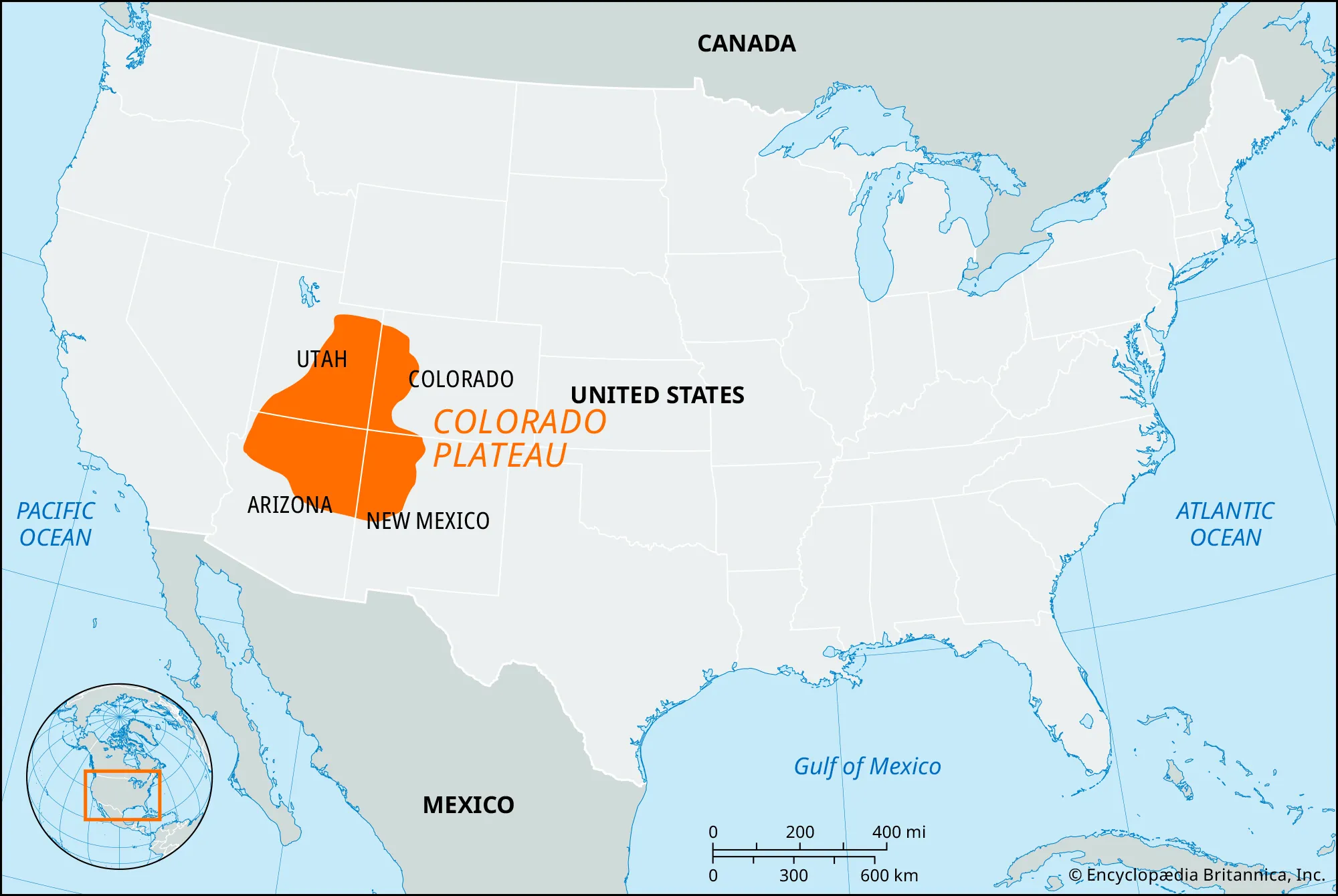
- Colorado Plateau (United States):
-
- Description:
- ~337,000 km², ~2,000 m elevation.
- Formation:
- Tectonic uplift, erosion.
- Significance:
- Grand Canyon, uranium.
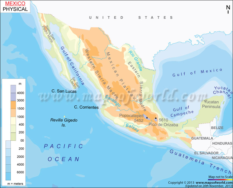
- Mexican Plateau (Mexico):
-
- Description:
- ~1.9 million km², ~2,000 m.
- Formation:
- Volcanic activity, uplift.
- Significance:
- Agriculture, mining.
- Columbia Plateau (United States):
-
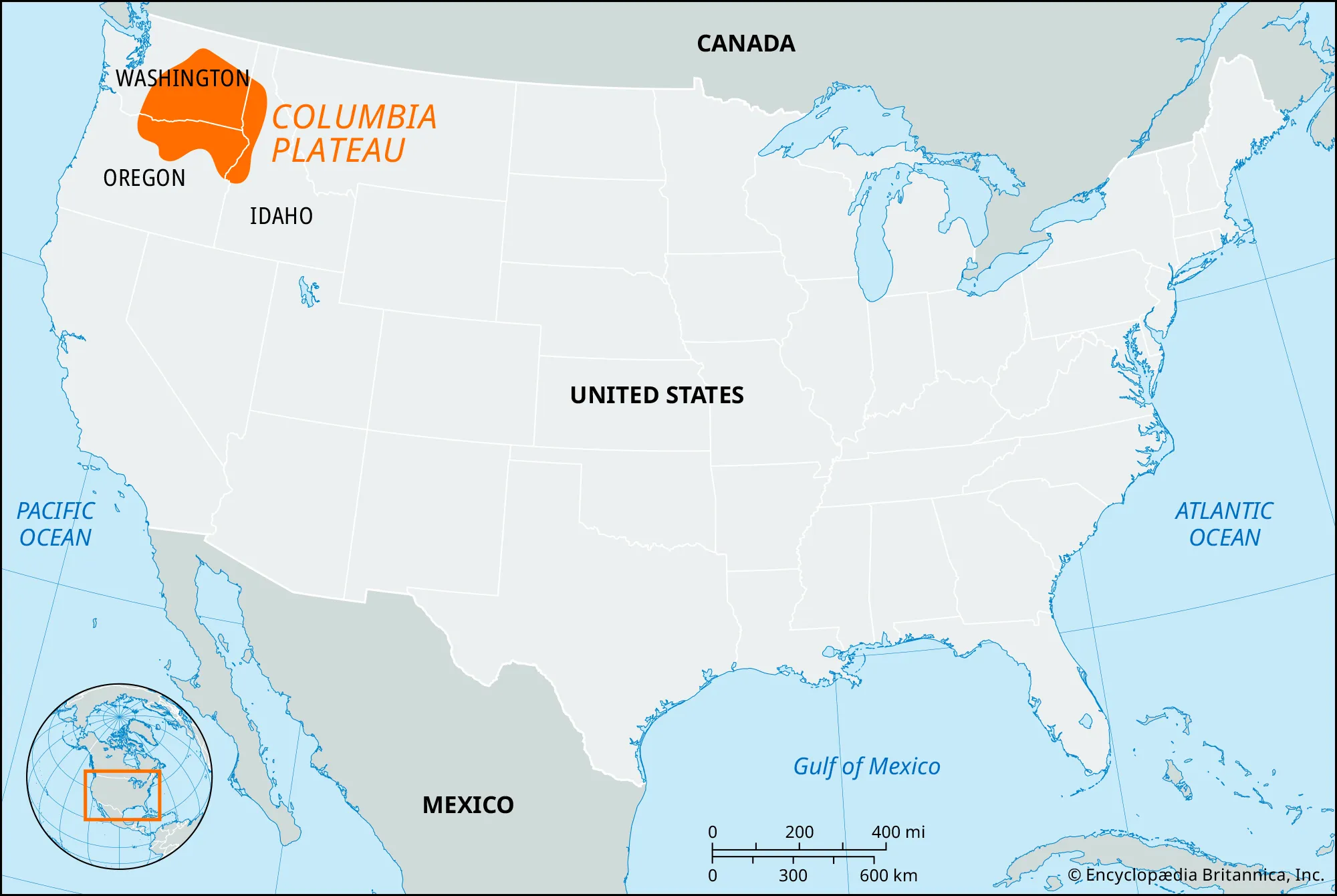
- Description:
- ~240,000 km², basalt flows.
- Formation:
- Lava floods, 15 million years ago.
- Significance:
- Wheat farming, hydropower.
- Plains
- Great Plains (United States, Canada):
-
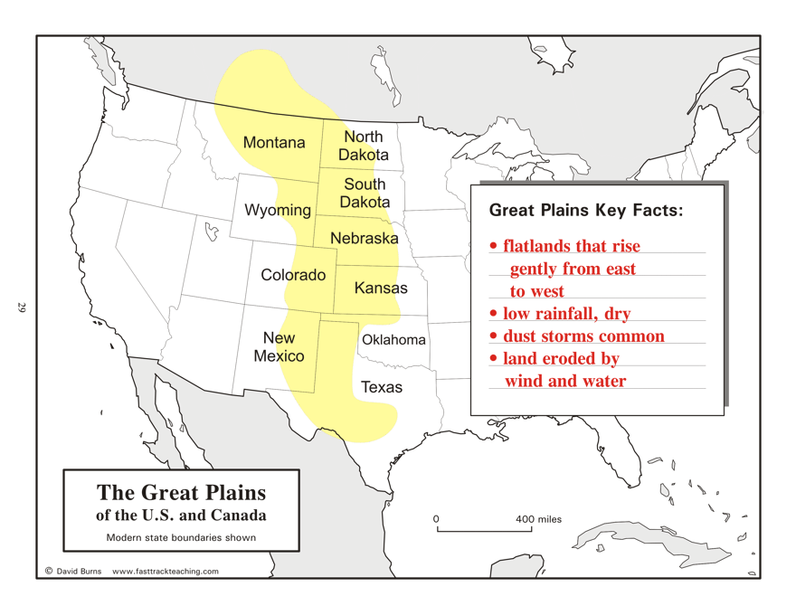
- Description:
- ~1.3 million km², grasslands.
- Formation:
- Glacial and fluvial deposition.
- Significance:
- Wheat, cattle ranching.
- Mississippi River Plain (United States):
-
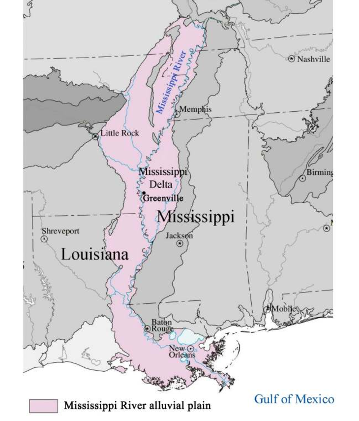
- Description:
- ~500,000 km², fertile floodplain.
- Formation:
- Alluvial deposition by Mississippi.
- Significance:
- Agriculture, transport.
- Atlantic Coastal Plain (United States):
-
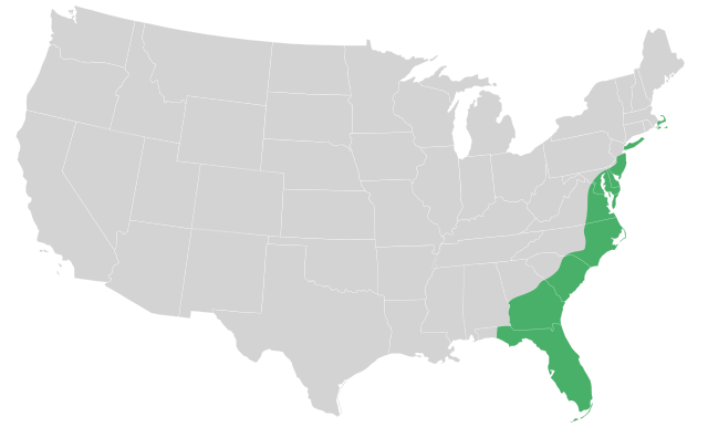
- Description:
- ~300,000 km², low-lying.
- Formation:
- Sedimentary deposition, sea-level rise.
- Significance:
- Urban centers, ports.
- Deserts
- Mojave Desert (United States):
-
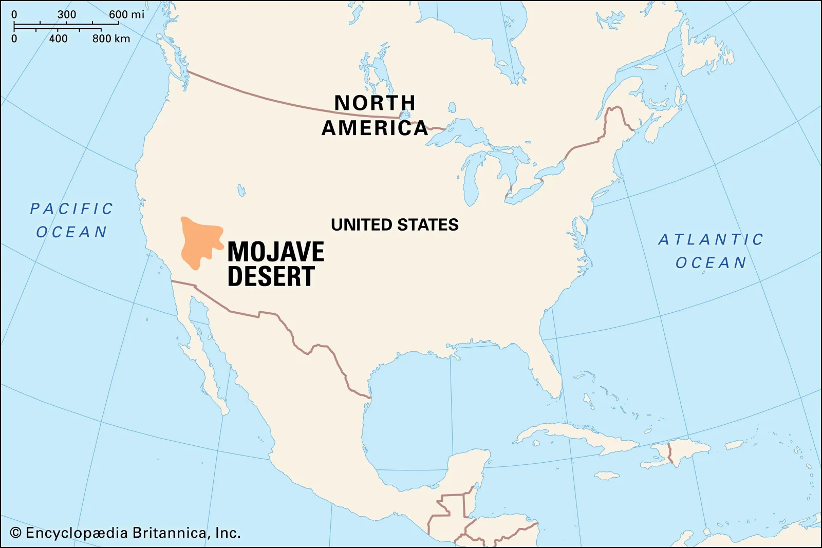
- Description:
- ~124,000 km², arid basin.
- Formation:
- Rain shadow from Sierra Nevada.
- Significance:
- Solar energy, Joshua trees.
- Sonoran Desert (United States, Mexico):
-
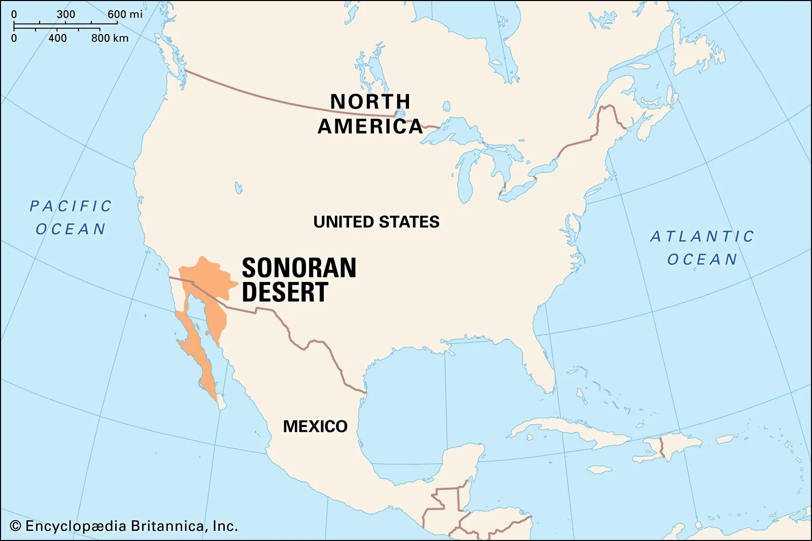
- Description:
- ~260,000 km², diverse flora.
- Formation:
- Subtropical aridity, rain shadow.
- Significance:
- Cacti, border ecosystems.
- Chihuahuan Desert (Mexico, United States):
-
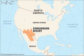
- Description:
- ~362,000 km², high desert.
- Formation:
- Rain shadow, continental aridity.
- Significance:
- Grasslands, mining.
- Forests
- Tongass National Forest (United States):
-
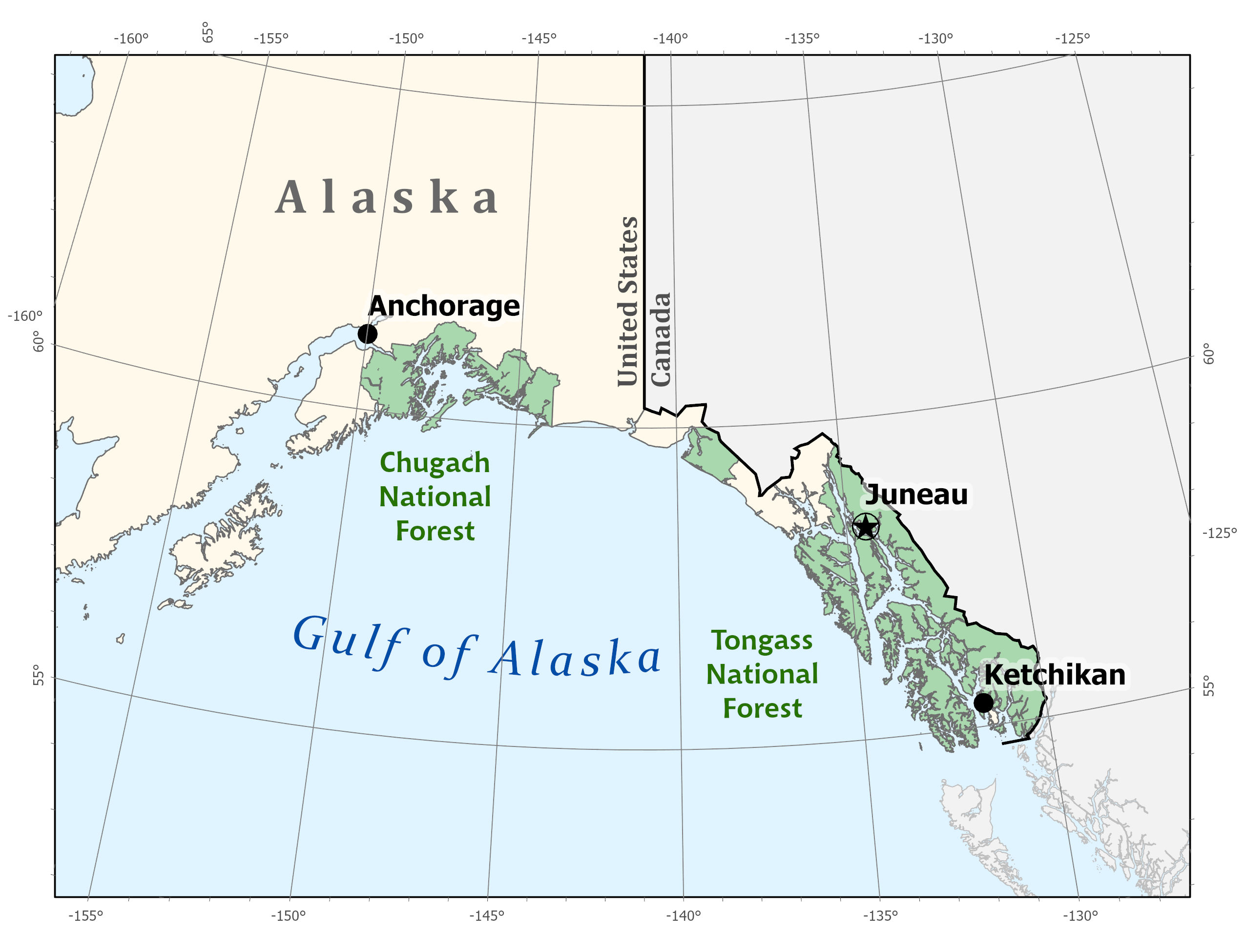
- Description:
- ~68,000 km², temperate rainforest.
- Formation:
- Oceanic moisture, coastal climate.
- Significance:
- Salmon habitat, timber.
- Boreal Forest (Canada):
-
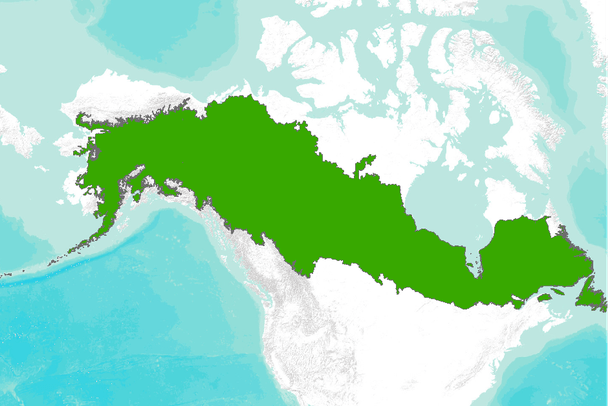
- Description:
- ~2.7 million km², coniferous.
- Formation:
- Cold, moist climate, glacial soils.
- Significance:
- Carbon sink, wildlife.
- Maya Forest (Mexico, Guatemala, Belize):
-
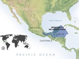
- Description:
- ~180,000 km², tropical rainforest.
- Formation:
- Tropical rainfall, limestone base.
- Significance:
- Mayan ruins, jaguars.
- Major Water Bodies
- Rivers
- Mississippi River (United States):
-
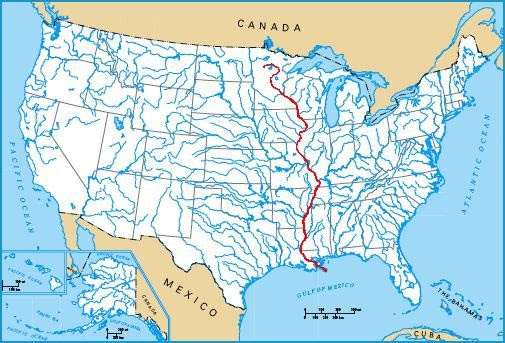
- Description:
- ~3,730 km, major waterway.
- Formation:
- Glacial melt + fluvial erosion + sediment deposition.
- Significance:
- Shipping, agriculture.
- Missouri River (United States):
-
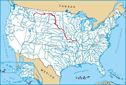
- Description:
- ~3,767 km; longest river in North America.
- Tributary of the Mississippi River.
- Formation:
- Formed by convergence of Jefferson, Madison, and Gallatin Rivers in Montana.
- Significance:
- Vital for irrigation, transport, and hydroelectric projects.
- Historically used in Lewis and Clark expedition.
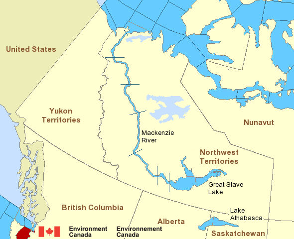
- Mackenzie River (Canada):
-
- Description:
- ~4,241 km, Arctic drainage.
- That is Mackenzie–Slave–Peace system, not Mackenzie alone.
- Mackenzie alone ≈ 1,738 km
- Formation:
- Glacial and tectonic channels.
- Significance:
- Oil exploration, fisheries.
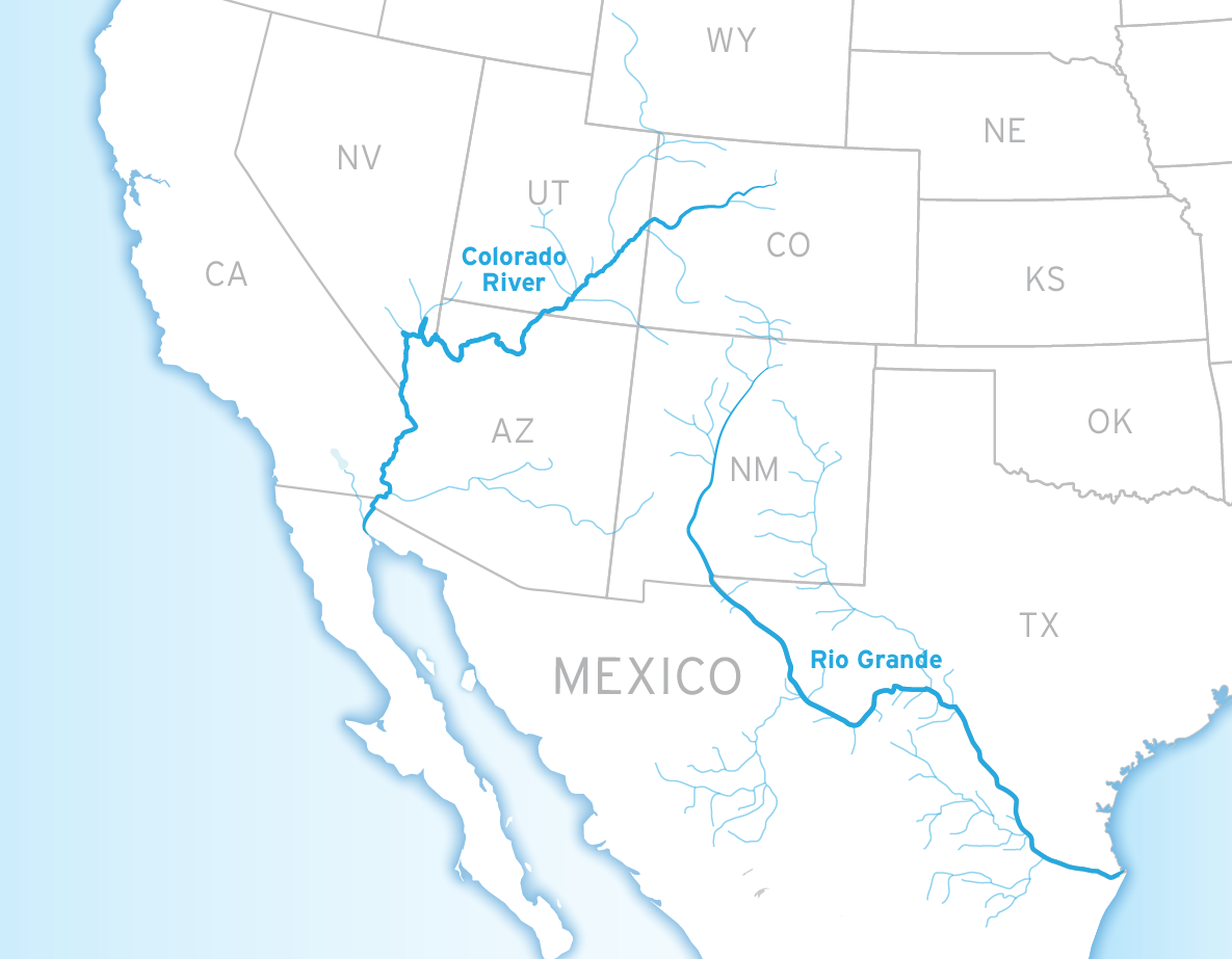
- Rio Grande (United States, Mexico):
-
- Description:
- ~3,051 km, border river.
- Formation:
- Tectonic rift, erosion.
- Significance:
- Irrigation, geopolitical.
- Lakes
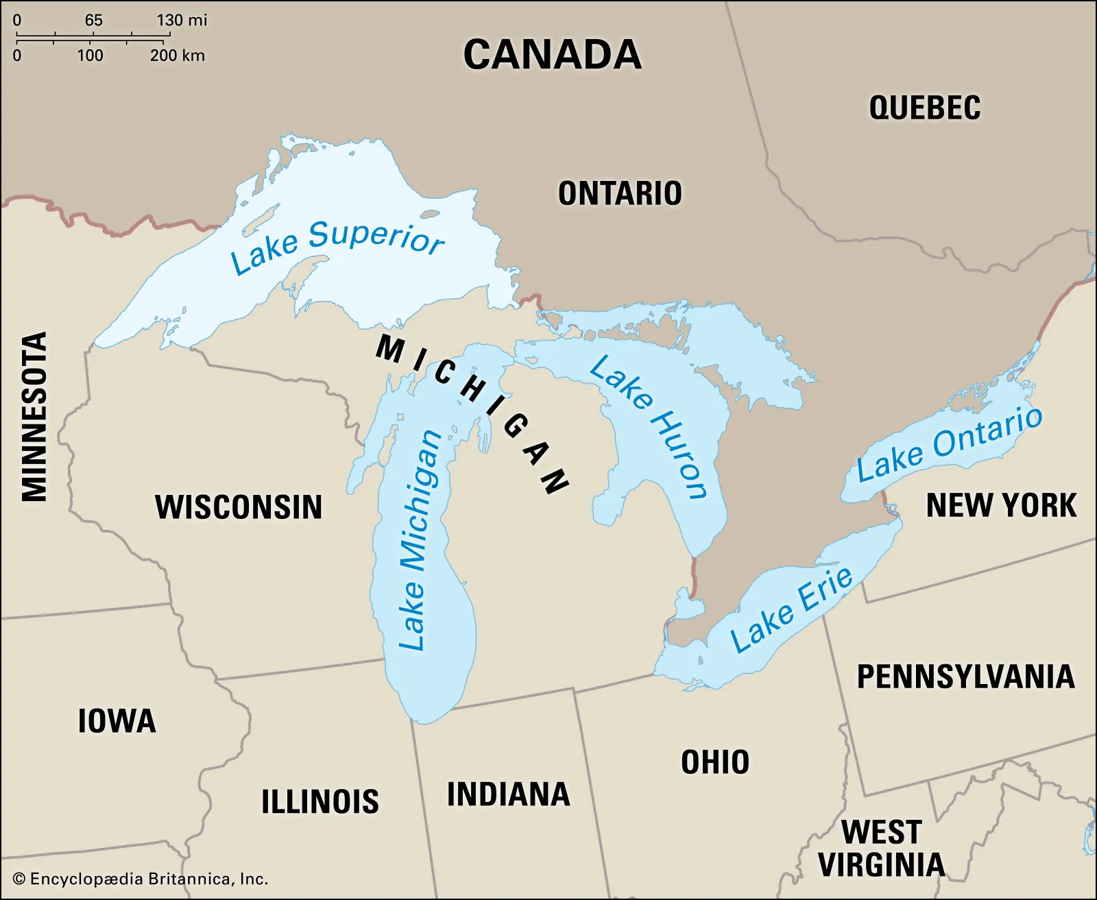
- Lake Superior (United States, Canada):
-
- Description:
- ~82,100 km², largest freshwater by surface area.
- Lake Baikal by volume is largest.
- Formation:
- Glacial scouring, tectonic basin.
- Significance:
- Shipping, tourism.
- Lake Huron (United States, Canada):
-
- Description:
- ~59,600 km², Great Lakes.
- Formation:
- Glacial erosion, bedrock depression.
- Significance:
- Fisheries, recreation.
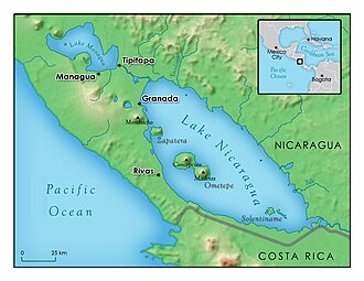
- Lake Nicaragua (Nicaragua):
-
- Description:
- ~8,264 km², tropical lake.
- Formation:
- Tectonic depression, volcanic.
- Significance:
- Freshwater sharks, canal plans.
- Basins
- Mississippi Basin (United States):
-
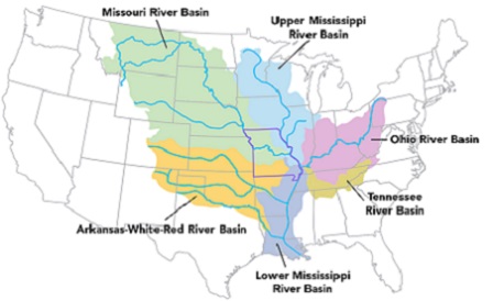
- Description:
- ~3.2 million km², fertile.
- Formation:
- Alluvial deposition, tectonic.
- Significance:
- Agriculture, urban centers.
- Great Lakes Basin (United States, Canada):
-
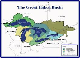
- Description:
- ~765,000 km², five lakes.
- Formation:
- Glacial scouring, tectonic.
- Significance:
- Freshwater, industry.
- Colorado River Basin (United States, Mexico):
-
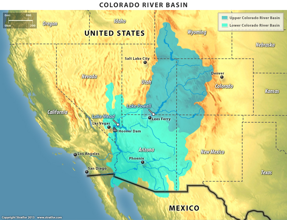
- Description:
- ~637,000 km², arid.
- Formation:
- Tectonic uplift, river erosion.
- Significance:
- Irrigation, hydropower.
- Gulfs
- Gulf of Mexico (United States, Mexico):
-
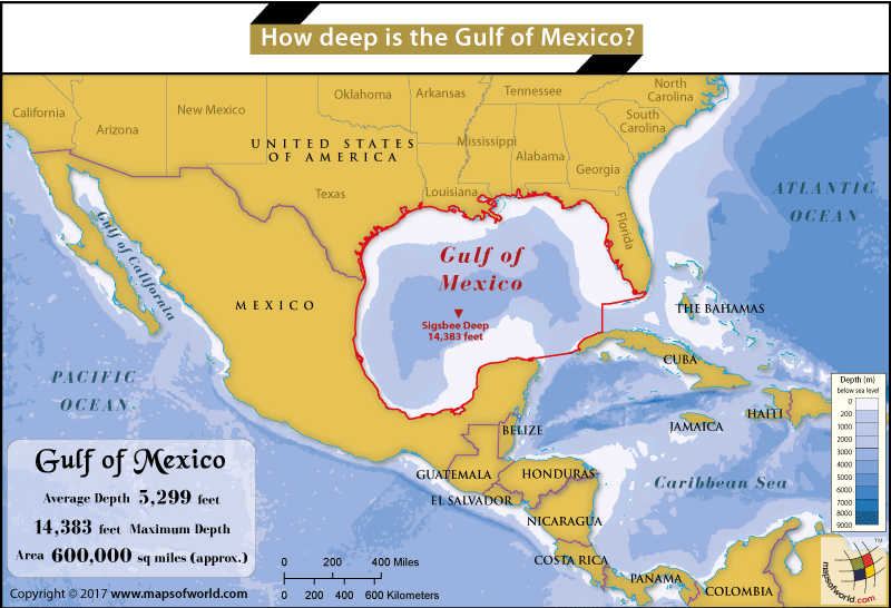
- Description:
- ~1.5 million km², oil-rich.
- Formation:
- Tectonic subsidence, shelf.
- Significance:
- Oil, hurricanes.
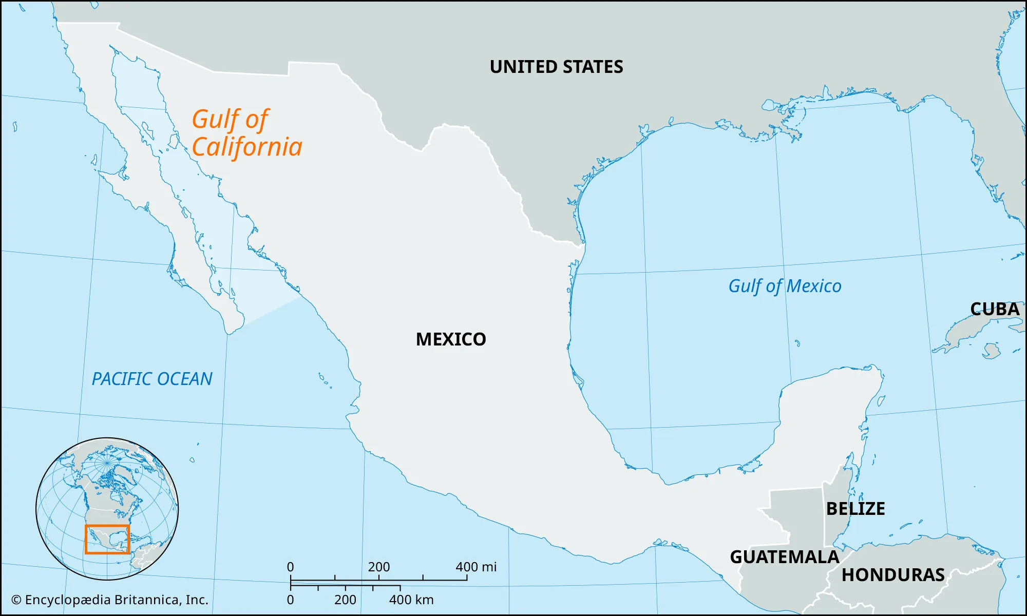
- Gulf of California (Mexico):
-
- Description:
- ~160,000 km², biodiverse.
- Formation:
- Rift between Baja and mainland.
- Significance:
- Fisheries, tourism.
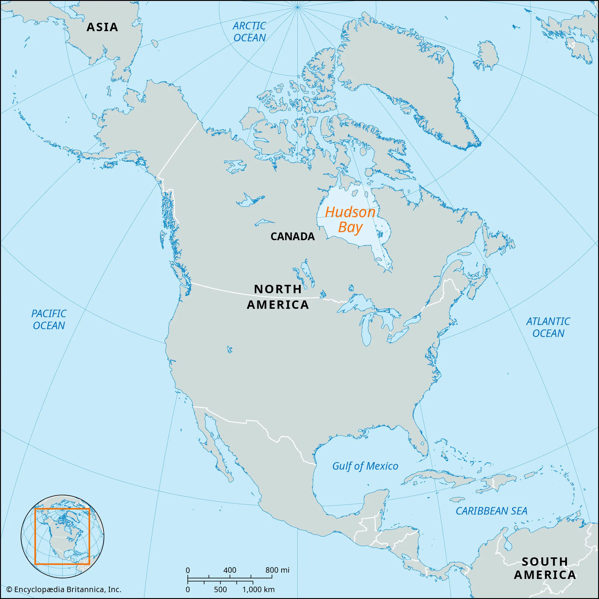
- Hudson Bay (Canada):
-
- Description:
- ~1.24 million km², subarctic.
- Formation:
- Glacial loading + isostatic depression + rebound.
- Significance:
- Polar bear habitat, shipping.
- Islands
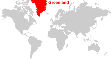
- Greenland
-
- Country:
- Denmark
- Description:
- ~2.16 million km², ice-covered.
- Formation:
- Tectonic uplift, glacial shaping.
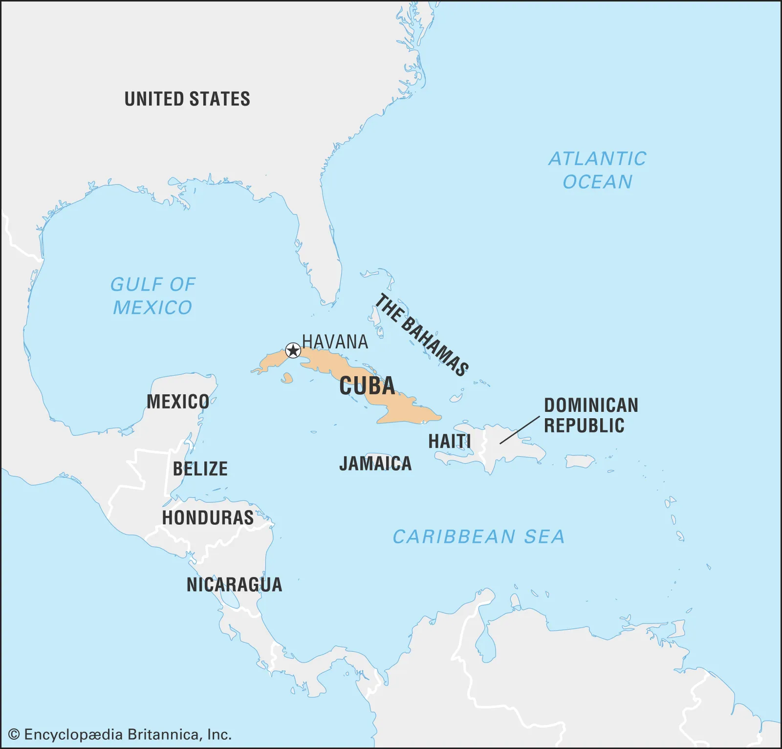
- Cuba
-
- Country:
- Cuba
- Description:
- ~109,884 km², Caribbean.
- Formation:
- Tectonic uplift, limestone.
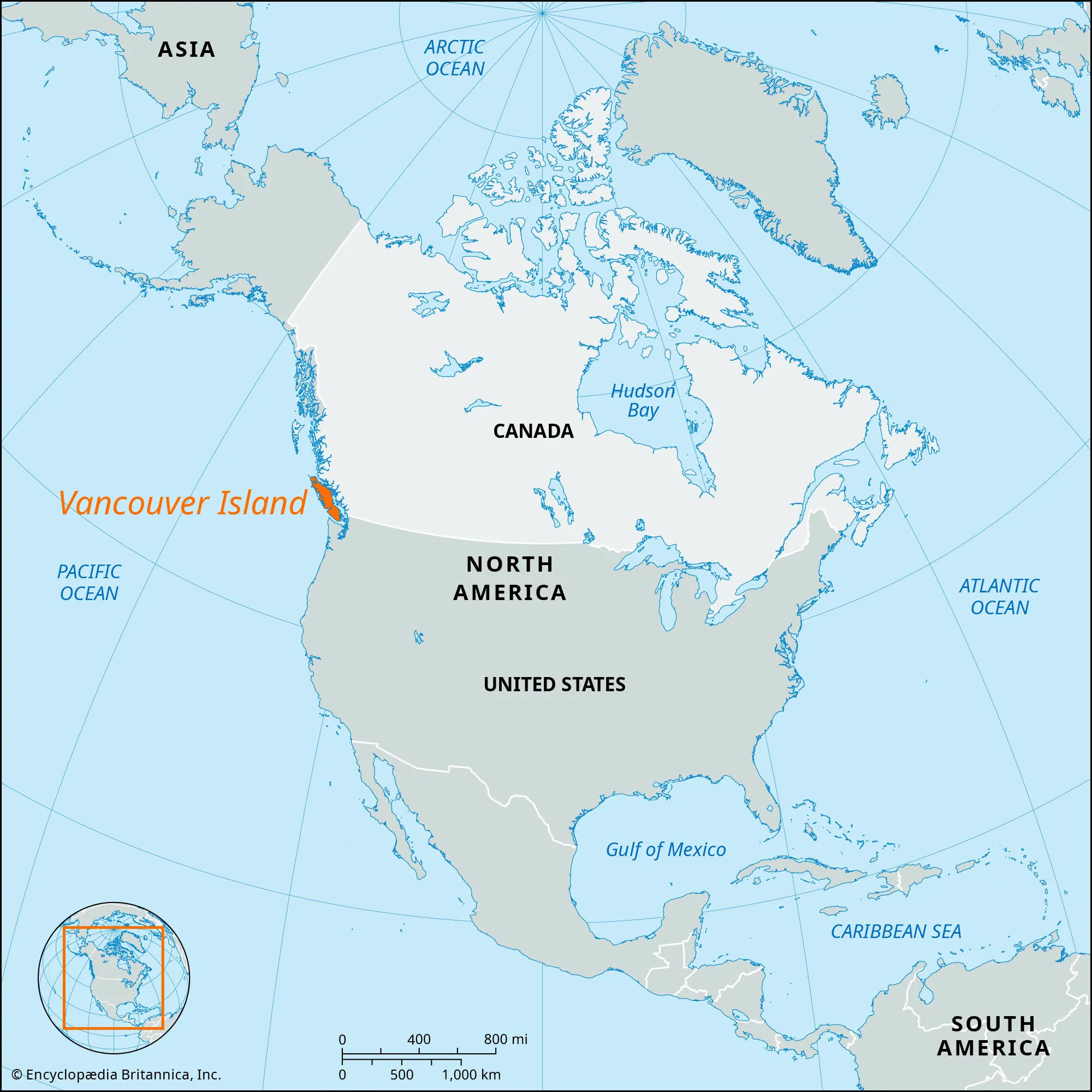
- Vancouver Island
-
- Country:
- Canada
- Description:
- ~31,285 km², temperate forest.
- Formation:
- Tectonic collision, glacial.
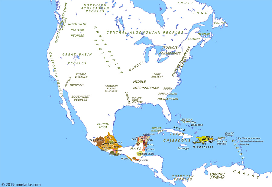
- Hispaniola
-
- Country:
- Haiti, Dominican Republic
- Description:
- ~76,192 km², tropical.
- Formation:
- Volcanic arc, tectonic.
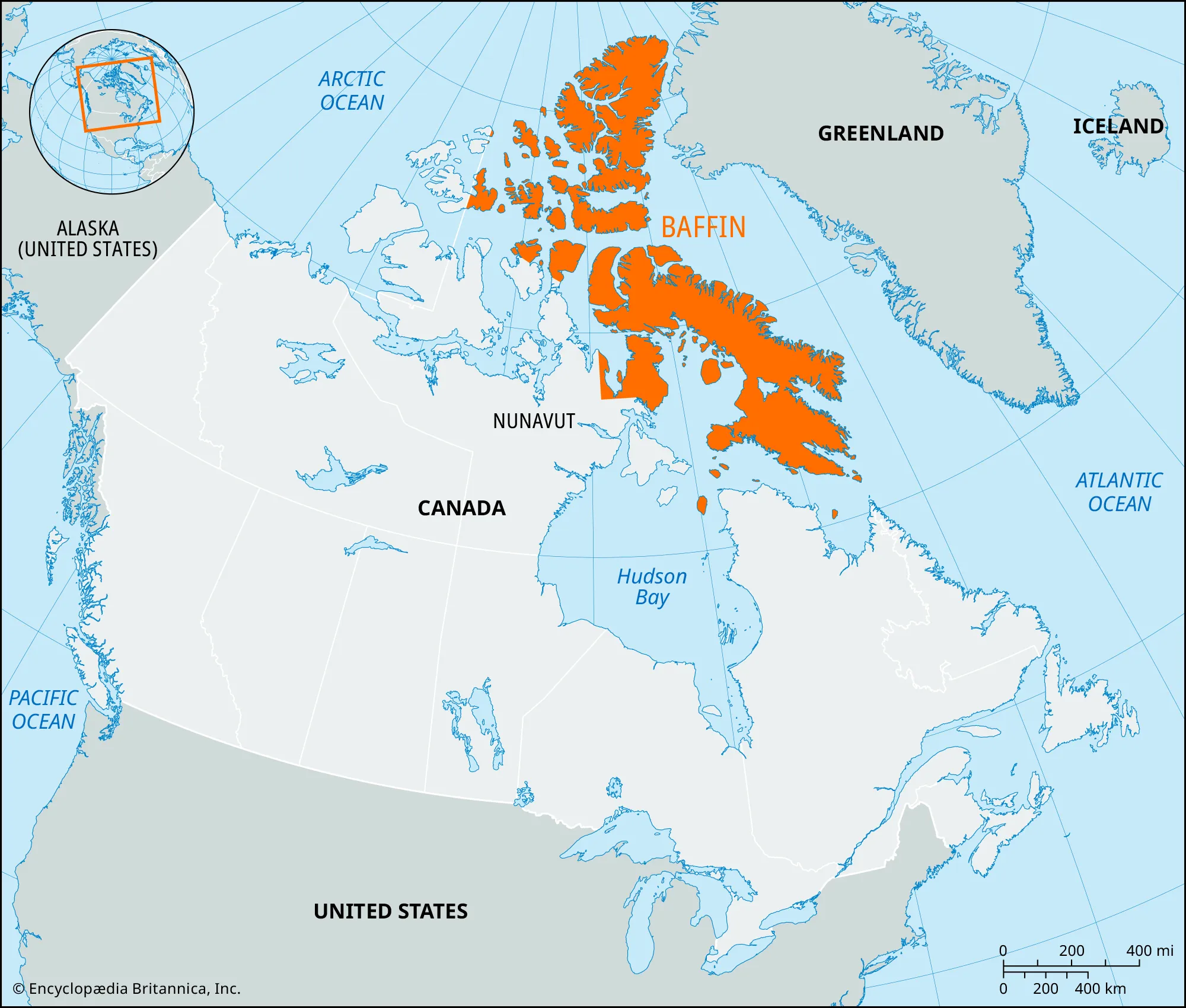
- Baffin Island
-
- Country:
- Canada
- Description:
- ~507,451 km², Arctic.
- Formation:
- Glacial erosion, tectonic.
- National Parks/Protected Areas
- Yellowstone National Park (United States):
-
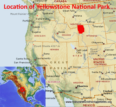
- Description:
- ~8,983 km², geothermal features.
- Significance:
- First national park, biodiversity.
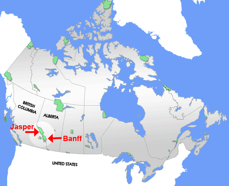
- Banff National Park (Canada):
-
- Description:
- ~6,641 km², Rocky Mountains.
- Significance:
- Glaciers, tourism.
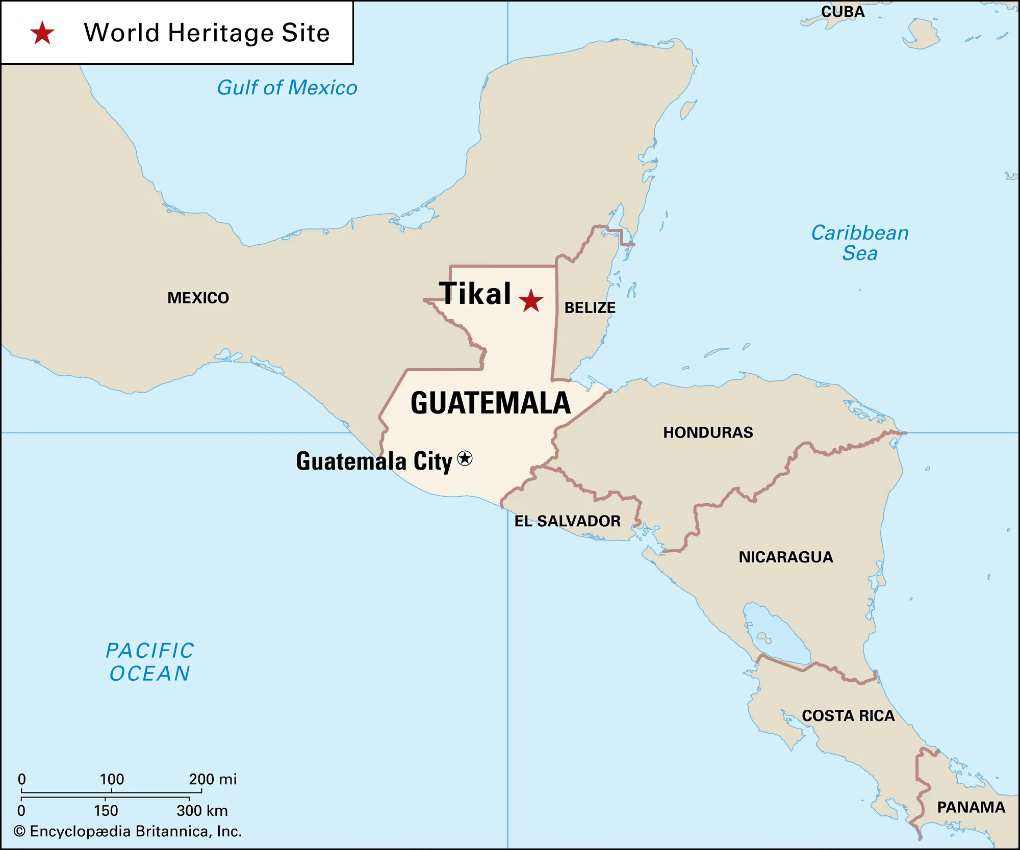
- Tikal National Park (Guatemala):
-
- Description:
- ~576 km², Mayan ruins.
- Significance:
- UNESCO site, rainforest.
- Biodiversity Hotspots
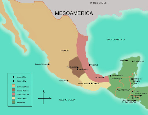
- Mesoamerica (Mexico, Guatemala):
-
- Description:
- ~1.1 million km², tropical forests.
- Significance:
- Endemic species, deforestation.
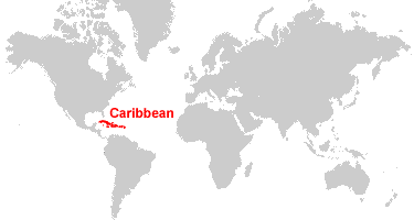
- Caribbean Islands (Cuba, Haiti):
-
- Description:
- ~229,000 km², island ecosystems.
- Significance:
- Unique fauna, tourism pressure.
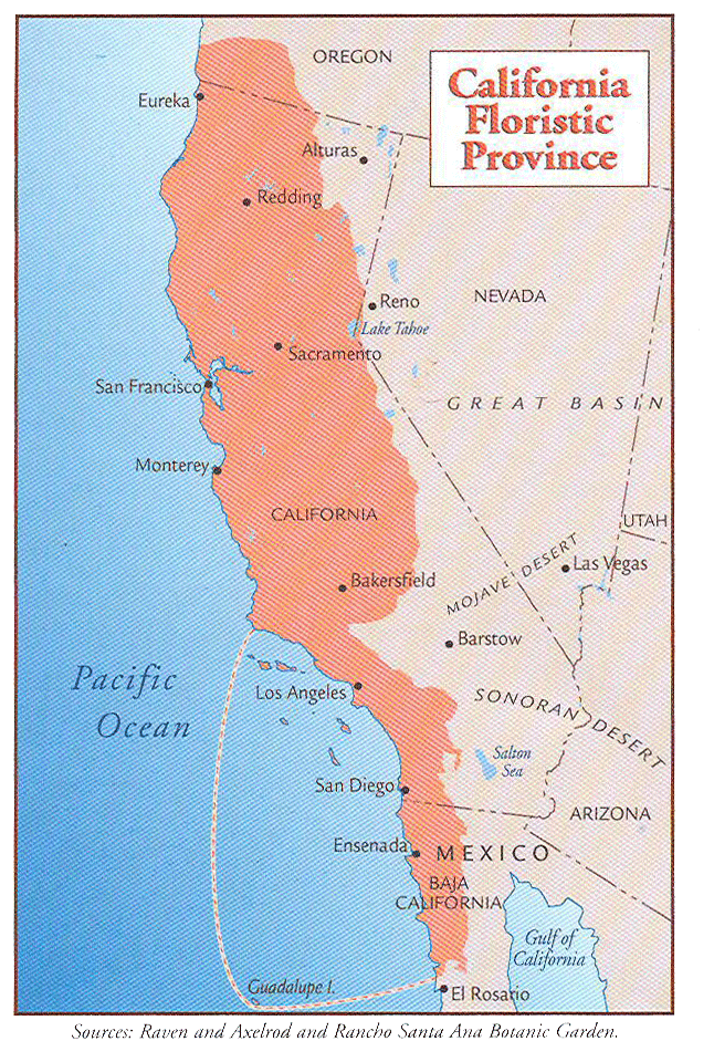
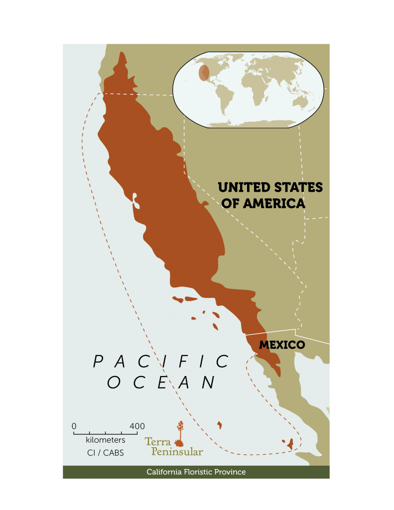
- California Floristic Province (United States):
-
-
- Description:
- ~293,000 km², Mediterranean.
- Significance:
- Endemic plants, urban sprawl.
- Human Impact
- Deforestation (Maya Forest):
- Agriculture and logging reduce rainforest cover.
- Colorado River Depletion:
- Dams and irrigation lower water levels, impacting ecosystems.
- Oil Spills (Gulf of Mexico):
- Pollution harms marine life, fisheries.
- Urbanization (Atlantic Coastal Plain):
- Development reduces wetlands, increases flooding.
- Europe
-
- Overview
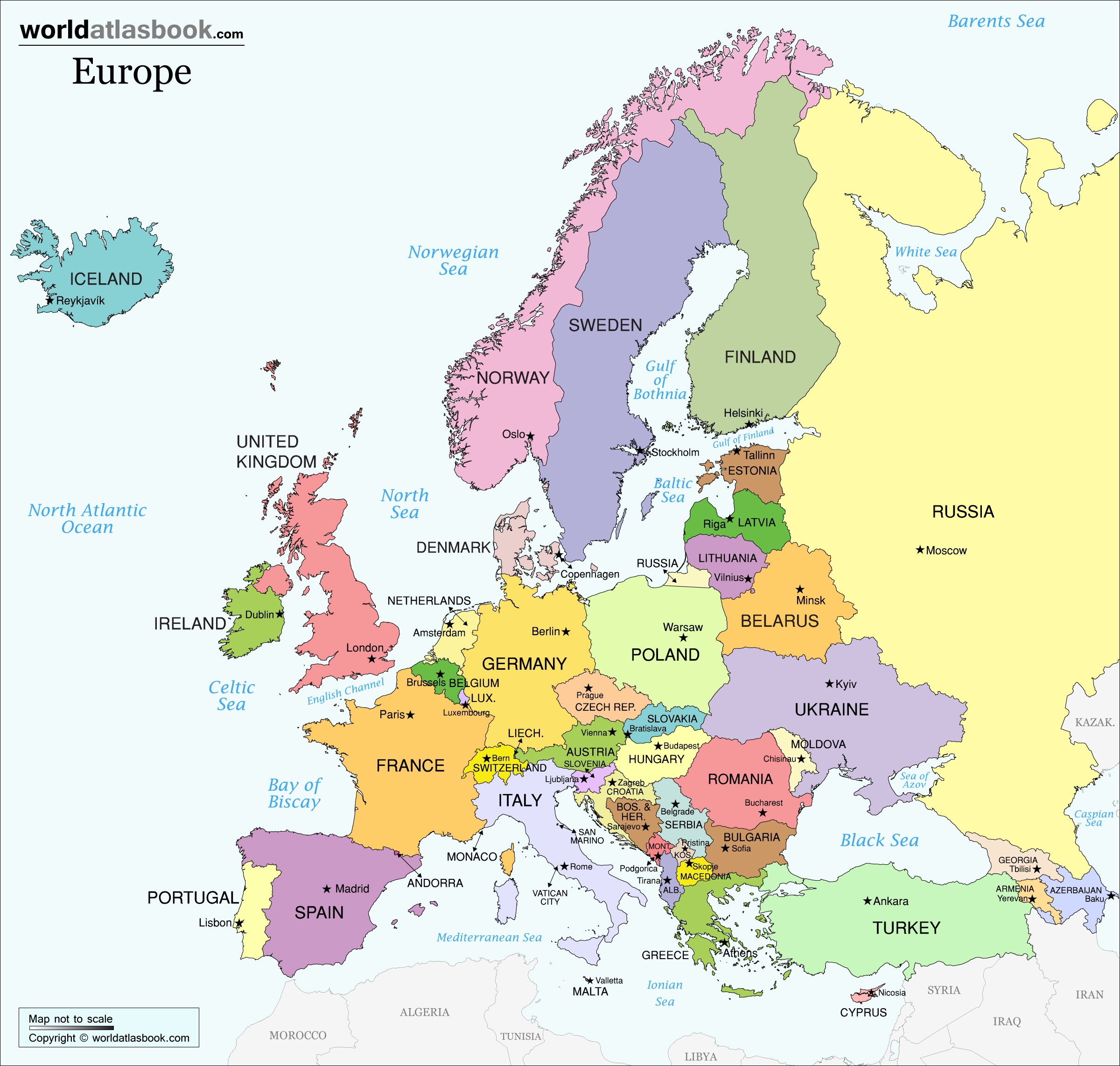
- Europe, the second-smallest continent, spans ~10.18 million km², with a population of ~750 million (2023).
- It features diverse landscapes, from the Alps to the North European Plain, shaped by ancient orogenies, glacial activity, and temperate climates.
- Countries (44 recognized sovereign states)
- Albania
- Capital: Tirana
- Andorra
- Capital: Andorra la Vella
- Armenia
- Capital: Yerevan
- Austria
- Capital: Vienna
- Azerbaijan
- Capital: Baku
- Belarus
- Capital: Minsk
- Belgium
- Capital: Brussels
- Bosnia and Herzegovina
- Capital: Sarajevo
- Bulgaria
- Capital: Sofia
- Croatia
- Capital: Zagreb
- Cyprus
- Capital: Nicosia
- Czech Republic
- Capital: Prague
- Denmark
- Capital: Copenhagen
- Estonia
- Capital: Tallinn
- Finland
- Capital: Helsinki
- France
- Capital: Paris
- Georgia
- Capital: Tbilisi
- Germany
- Capital: Berlin
- Greece
- Capital: Athens
- Hungary
- Capital: Budapest
- Iceland
- Capital: Reykjavik
- Ireland
- Capital: Dublin
- Italy
- Capital: Rome
- Kosovo
- Capital: Pristina
- Latvia
- Capital: Riga
- Liechtenstein
- Capital: Vaduz
- Lithuania
- Capital: Vilnius
- Luxembourg
- Capital: Luxembourg City
- Malta
- Capital: Valletta
- Moldova
- Capital: Chișinău
- Monaco
- Capital: Monaco
- Montenegro
- Capital: Podgorica
- Netherlands
- Capital: Amsterdam
- North Macedonia
- Capital: Skopje
- Norway
- Capital: Oslo
- Poland
- Capital: Warsaw
- Portugal
- Capital: Lisbon
- Romania
- Capital: Bucharest
- Russia (European part)
- Capital: Moscow
- San Marino
- Capital: San Marino
- Serbia
- Capital: Belgrade
- Slovakia
- Capital: Bratislava
- Slovenia
- Capital: Ljubljana
- Spain
- Capital: Madrid
- Sweden
- Capital: Stockholm
- Switzerland
- Capital: Bern
- Turkey (European part)
- Capital: Ankara
- Ukraine
- Capital: Kyiv
- United Kingdom
- Capital: London
- Vatican City
- Capital: Vatican City
- Physiographic Divisions
- Europe’s landscape is divided into five regions:
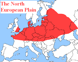
1. North European Plain:
-
- Description:
- Vast lowland, fertile farmlands.
- Location:
- Central and Eastern Europe.
- Climate:
- Temperate, humid continental.
- Features:
- Flat terrain, major rivers.
- Countries:
- Germany, Poland, Russia, Ukraine.
2. Alpine System:
-
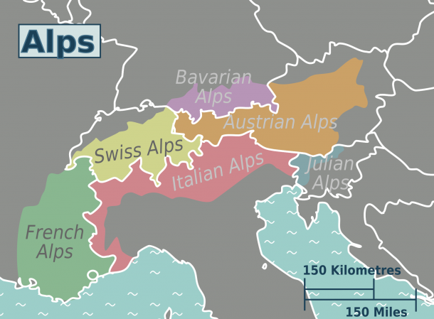
- Description:
- High mountain ranges, including Alps.
- Climate:
- Alpine, cold at higher elevations.
- Features:
- Peaks, glaciers, valleys.
- Countries:
- France, Switzerland, Italy, Austria.
3. Scandinavian Shield:
-
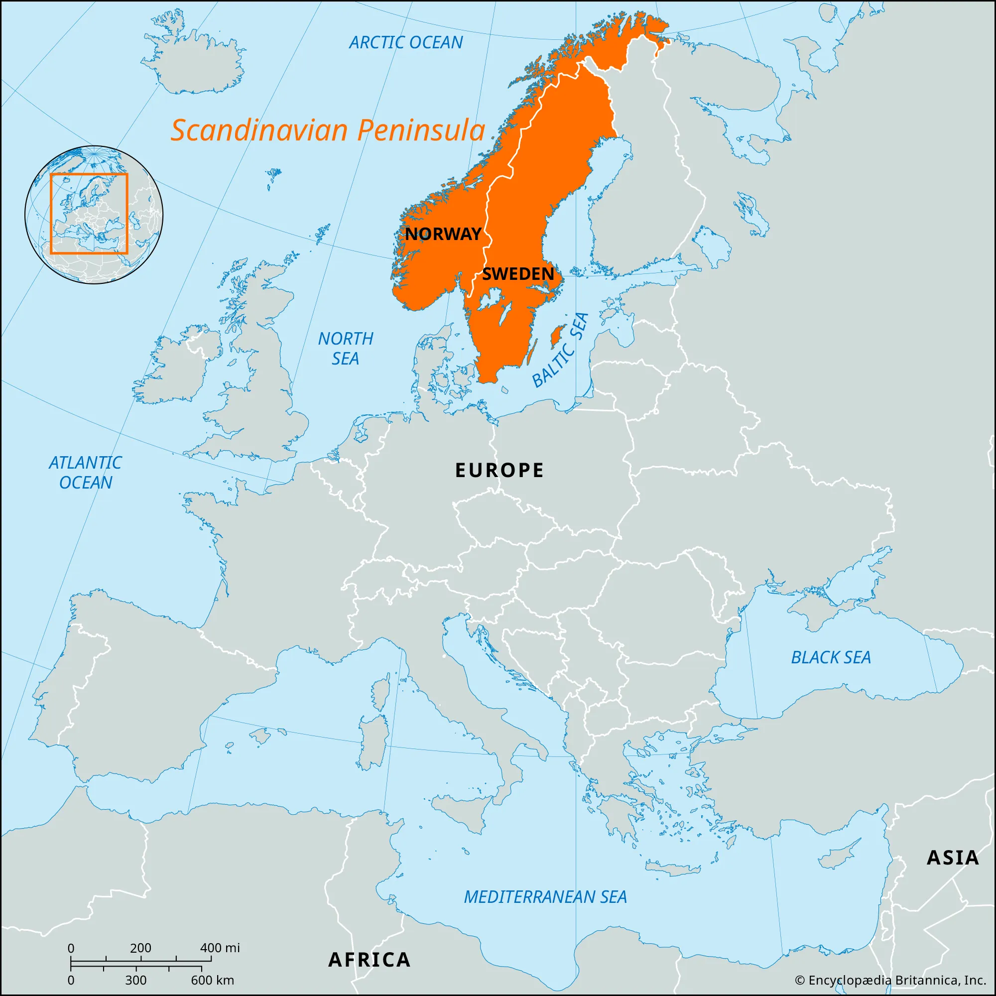
- Description:
- Ancient, glaciated highlands.
- Location:
- Northern Europe.
- Climate:
- Subarctic to temperate.
- Features:
- Fjords, lakes, tundra.
- Countries:
- Norway, Sweden, Finland.
4. Mediterranean Basin:
-
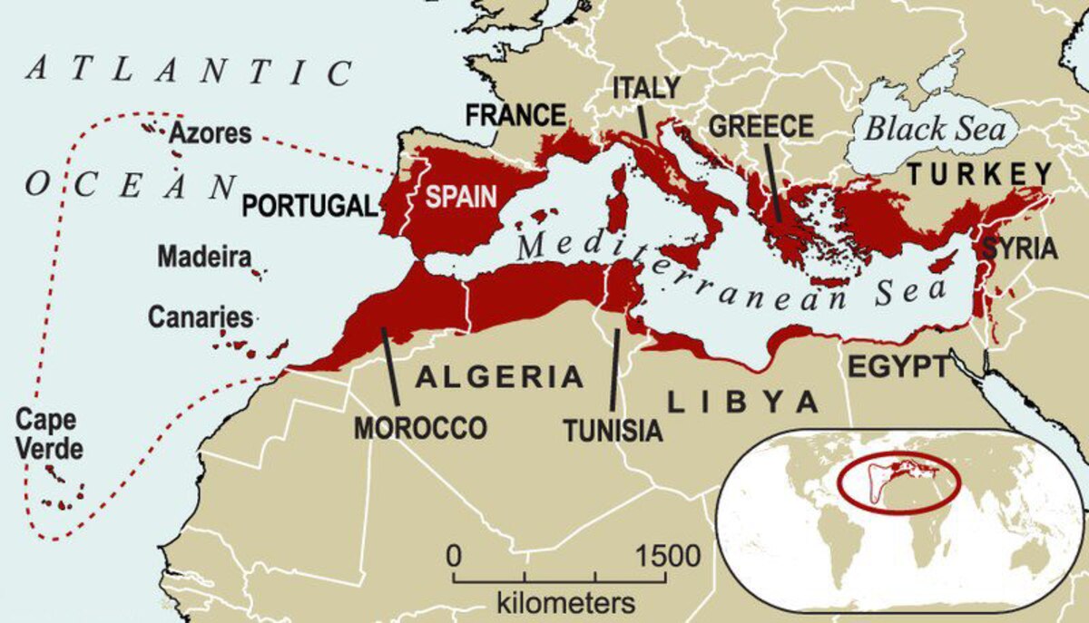
- Description:
- Coastal regions with rugged terrain.
- Location:
- Southern Europe.
- Climate:
- Mediterranean, hot summers.
- Features:
- Olive groves, vineyards.
- Countries:
- Spain, Italy, Greece.
5. Ural Mountains:
-
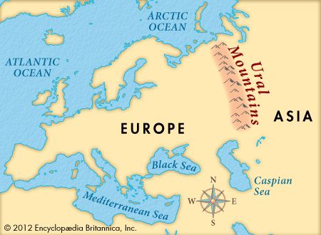
- Description:
- Low, ancient range, Europe-Asia divide.
- Location:
- Eastern Europe.
- Climate:
- Continental, cold winters.
- Features:
- Mineral deposits, forests.
- Countries:
- Russia.
- Formation:
- Ancient orogenies (Caledonian, Variscan) formed mountains; glacial erosion shaped plains and fjords; tectonic stability created lowlands.
- Major Physical Features
- Mountain Ranges
- Alps (France, Switzerland, Italy):
-
- Description:
- ~1,200 km, peaks at 4,810 m (Mont Blanc).
- Formation:
- African-Eurasian plate collision, Cenozoic.
- Significance:
- Tourism, hydropower.
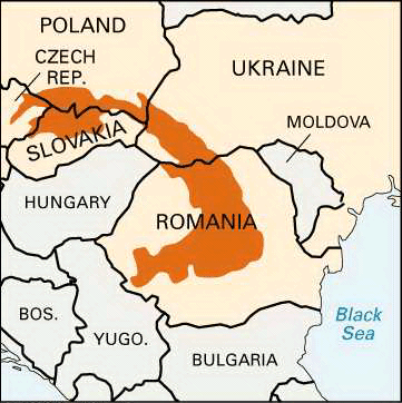
- Carpathian Mountains (Romania, Poland, Ukraine):
-
- Description:
- ~1,500 km, peaks at 2,655 m.
- Formation:
- Tectonic folding, Alpine orogeny.
- Significance:
- Forests, biodiversity.
- Ural Mountains (Russia):
-
- Description:
- ~2,500 km, peaks at 1,895 m.
- Formation:
- Paleozoic orogeny, erosion.
- Significance:
- Mineral resources, continental divide.
- Plateaus
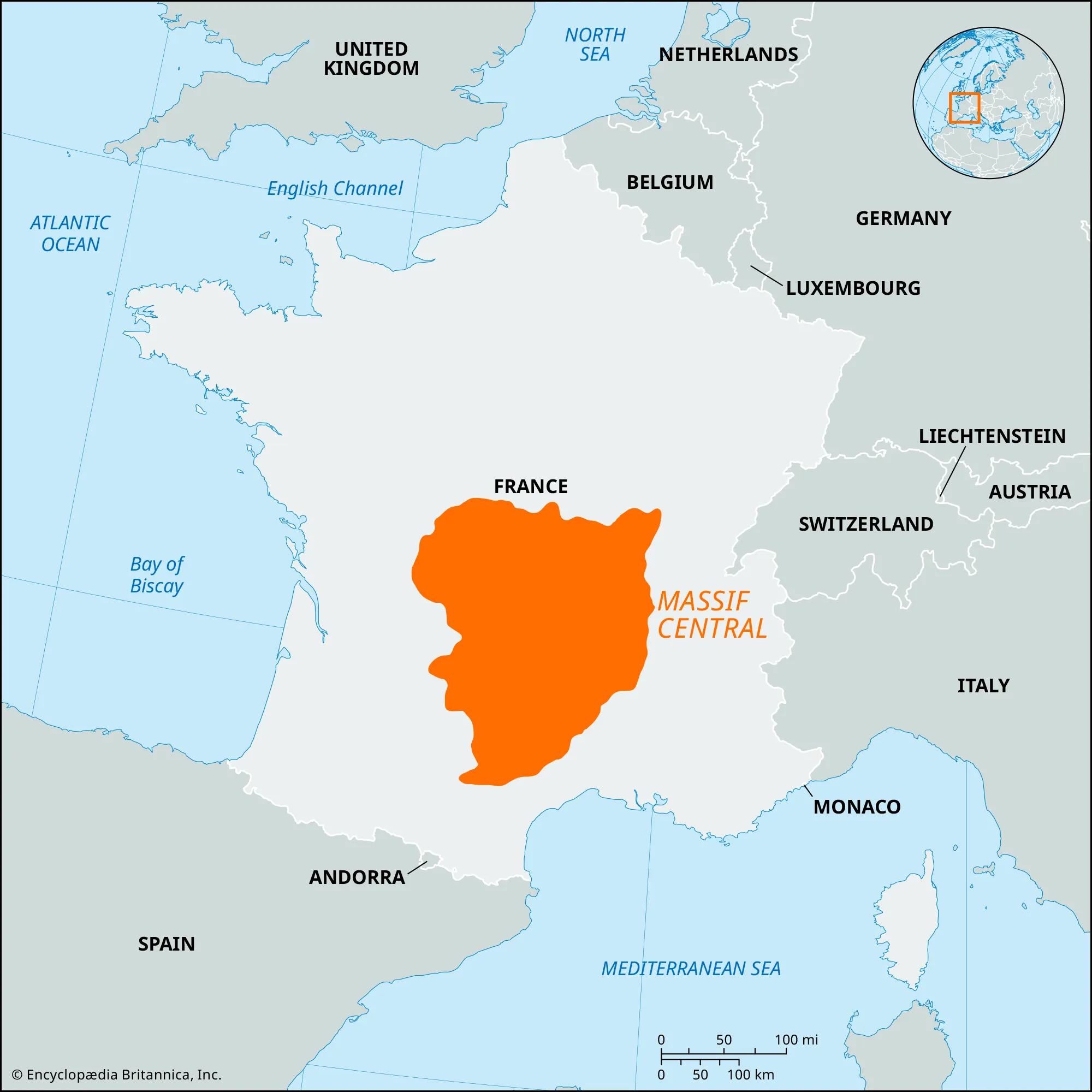
- Massif Central (France):
-
- Description:
- ~85,000 km², ~1,000 m elevation.
- Formation:
- Volcanic uplift, erosion.
- Significance:
- Agriculture, tourism.
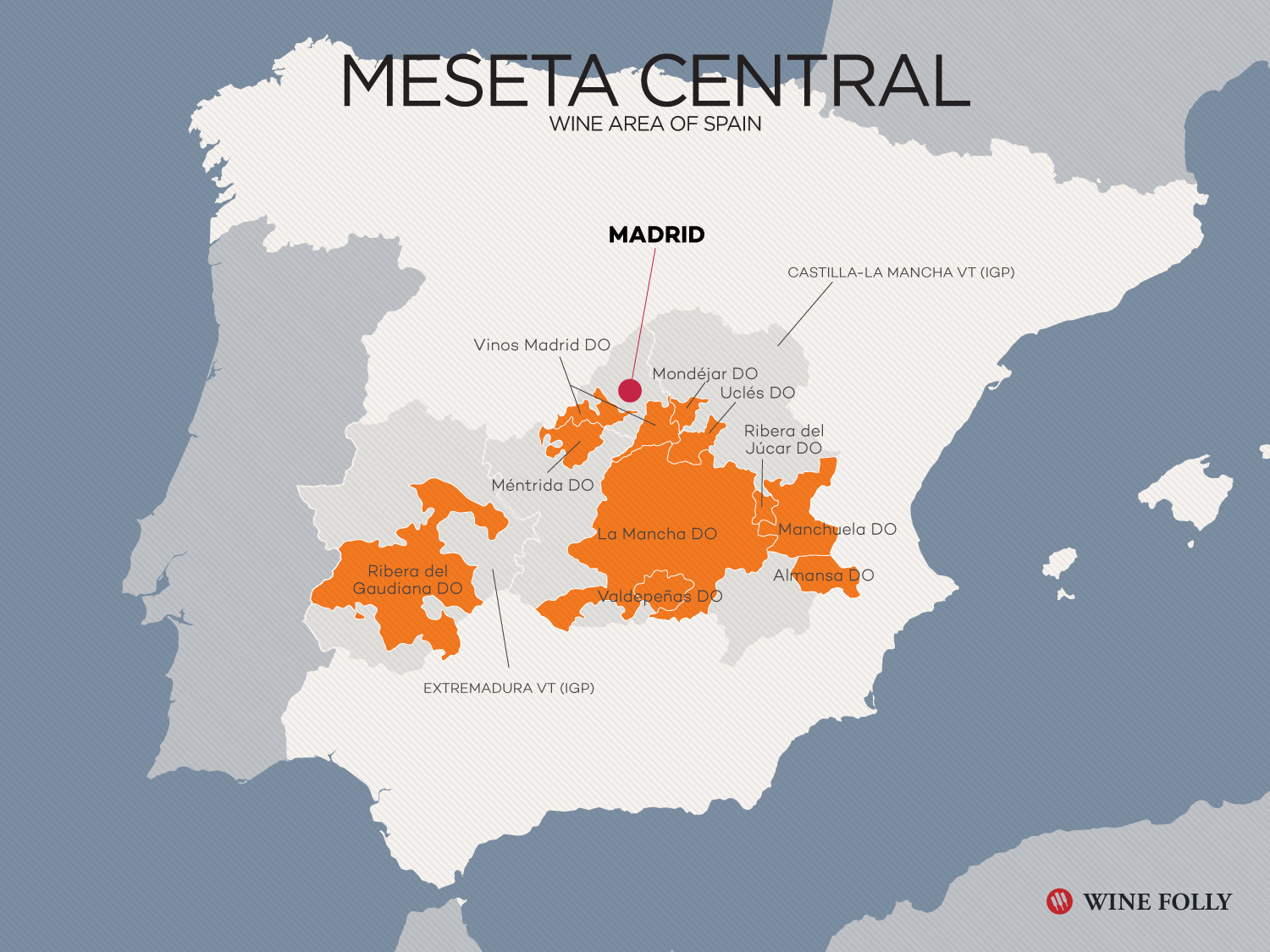
- Meseta Central (Spain):
-
- Description:
- ~210,000 km², ~700 m.
- Formation:
- Tectonic stability, erosion.
- Significance:
- Wheat farming, urban centers.
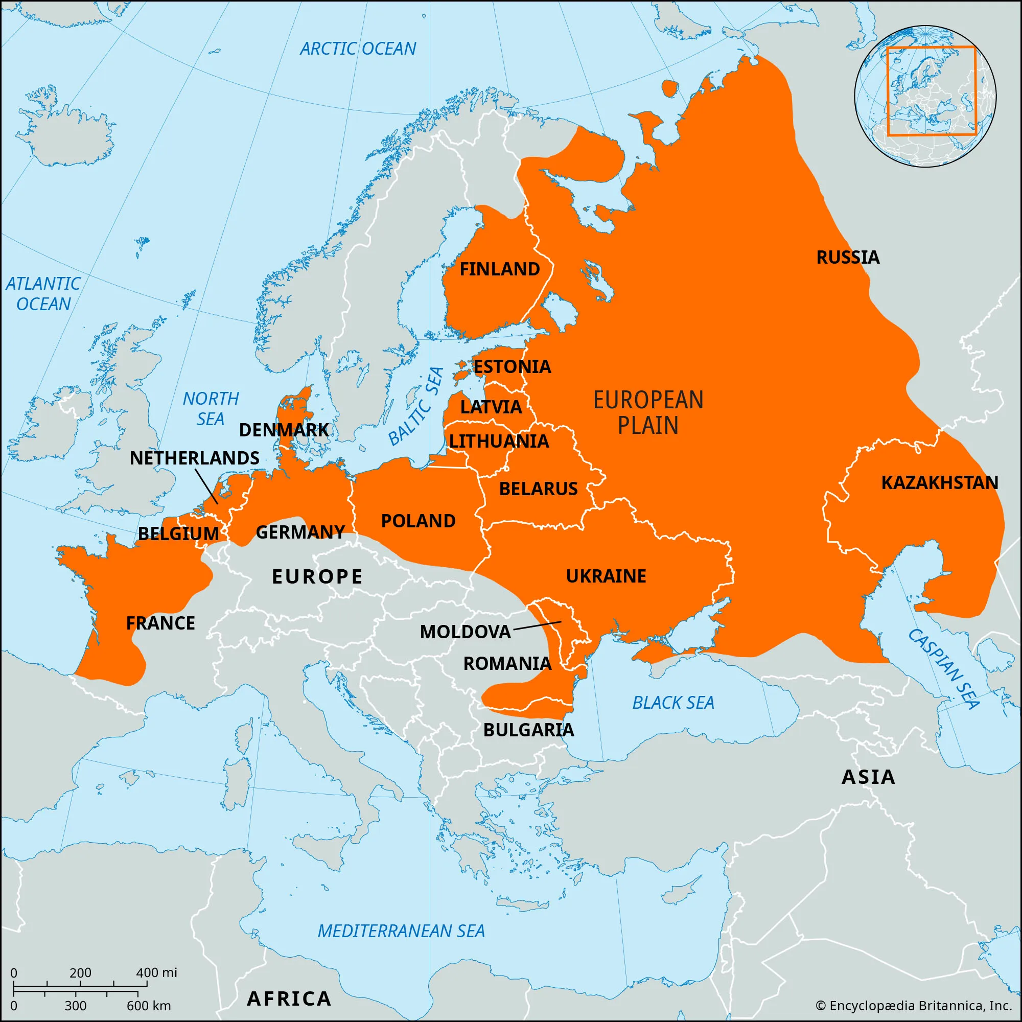
- East European Plateau (Russia, Ukraine):
-
- Description:
- ~2 million km², low elevation.
- Formation:
- Ancient craton, glacial deposits.
- Significance:
- Agriculture, energy resources.
- Plains
- North European Plain (Germany, Poland, Russia):
-
- Description:
- ~2 million km², fertile lowland.
- Formation:
- Glacial and fluvial deposition.
- Significance:
- Agriculture, dense population.
- Pannonian Plain (Hungary, Serbia):
-
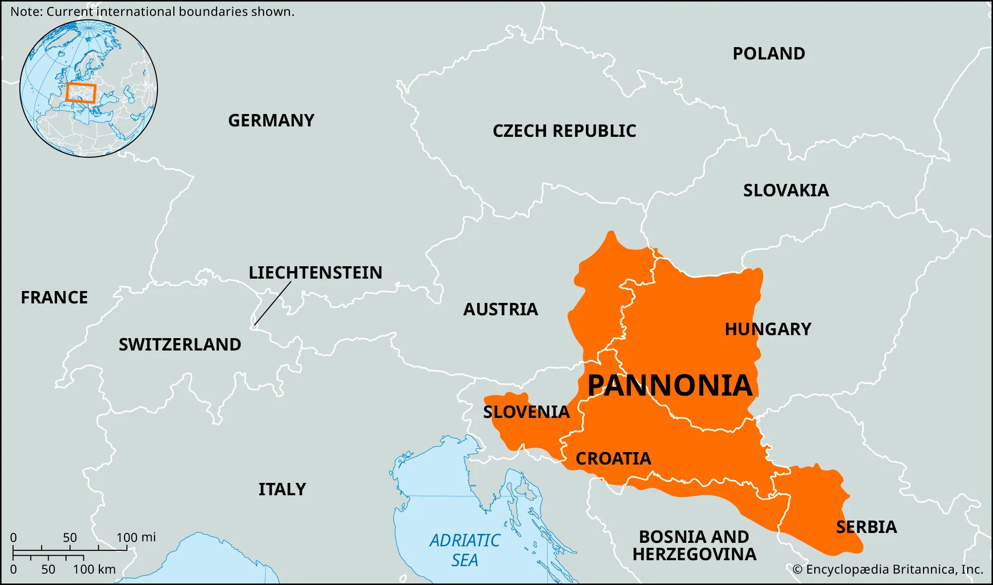
- Description:
- ~100,000 km², grassland basin.
- Formation:
- Tectonic subsidence, alluvial.
- Significance:
- Wheat, wine production.
- Po Valley (Italy):
-
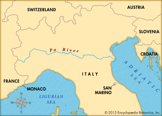
- Description:
- ~46,000 km², fertile floodplain.
- Formation:
- Alpine river sediments.
- Significance:
- Rice, industrial hub.
- Deserts
- No major deserts due to temperate and humid climates.
- Tabernas Desert (Spain):
-
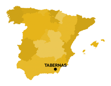
- Description:
- ~280 km², semi-arid.
- Formation:
- Rain shadow, Mediterranean aridity.
- Significance:
- Film industry, unique flora.
- Forests
- Black Forest (Germany):
-
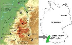
- Description:
- ~6,000 km², coniferous forest.
- Formation:
- Temperate climate, orographic rain.
- Significance:
- Tourism, timber.
- Białowieża Forest (Poland, Belarus):
-
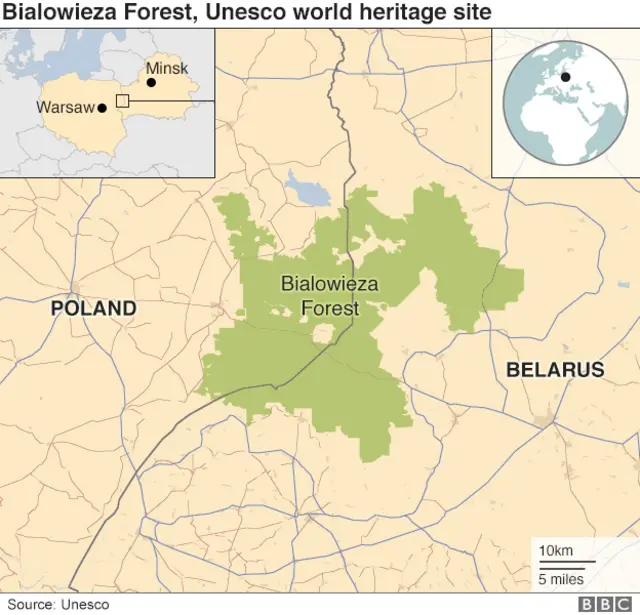
- Description:
- ~3,085 km², primeval forest.
- Formation:
- Glacial refuge, moist climate.
- Significance:
- European bison, UNESCO site.
- Scandinavian Boreal Forest (Sweden, Finland):
-
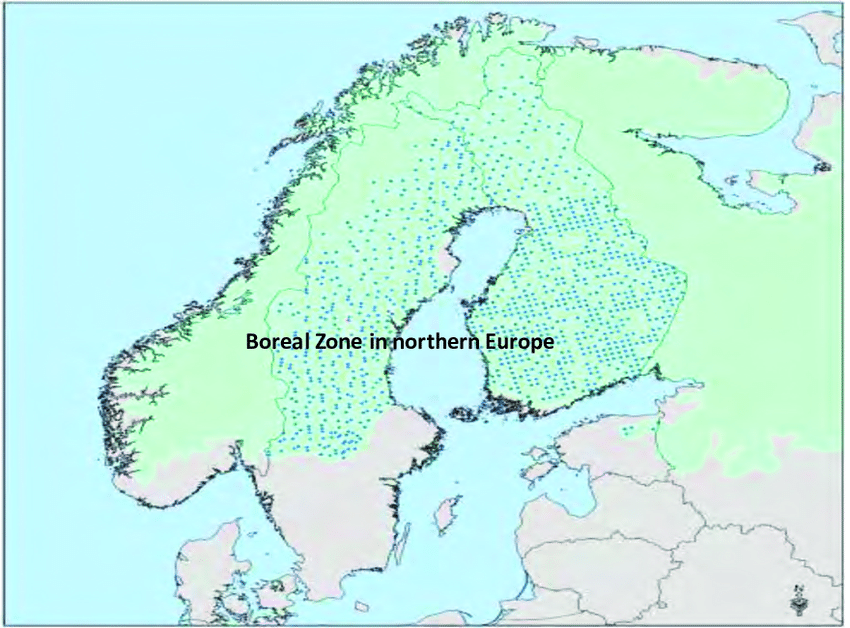
- Description:
- ~700,000 km², coniferous.
- Formation:
- Cold, moist climate, glacial soils.
- Significance:
- Carbon sink, reindeer habitat.
- Major Water Bodies
- Rivers
- Volga River (Russia):
-
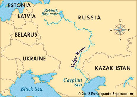
- Description:
- ~3,531 km, Europe’s longest.
- Formation:
- Fluvial erosion, glacial meltwaters, sedimentary basin
- Significance:
- Shipping, hydropower.
- Danube River (Germany, Austria, Hungary):
-
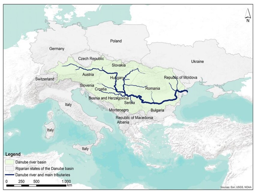
- Description:
- ~2,850 km, multi-national.
- Formation:
- Alpine runoff, tectonic valleys.
- Significance:
- Trade, cultural hub.
- Rhine River (Switzerland, Germany, Netherlands):
-
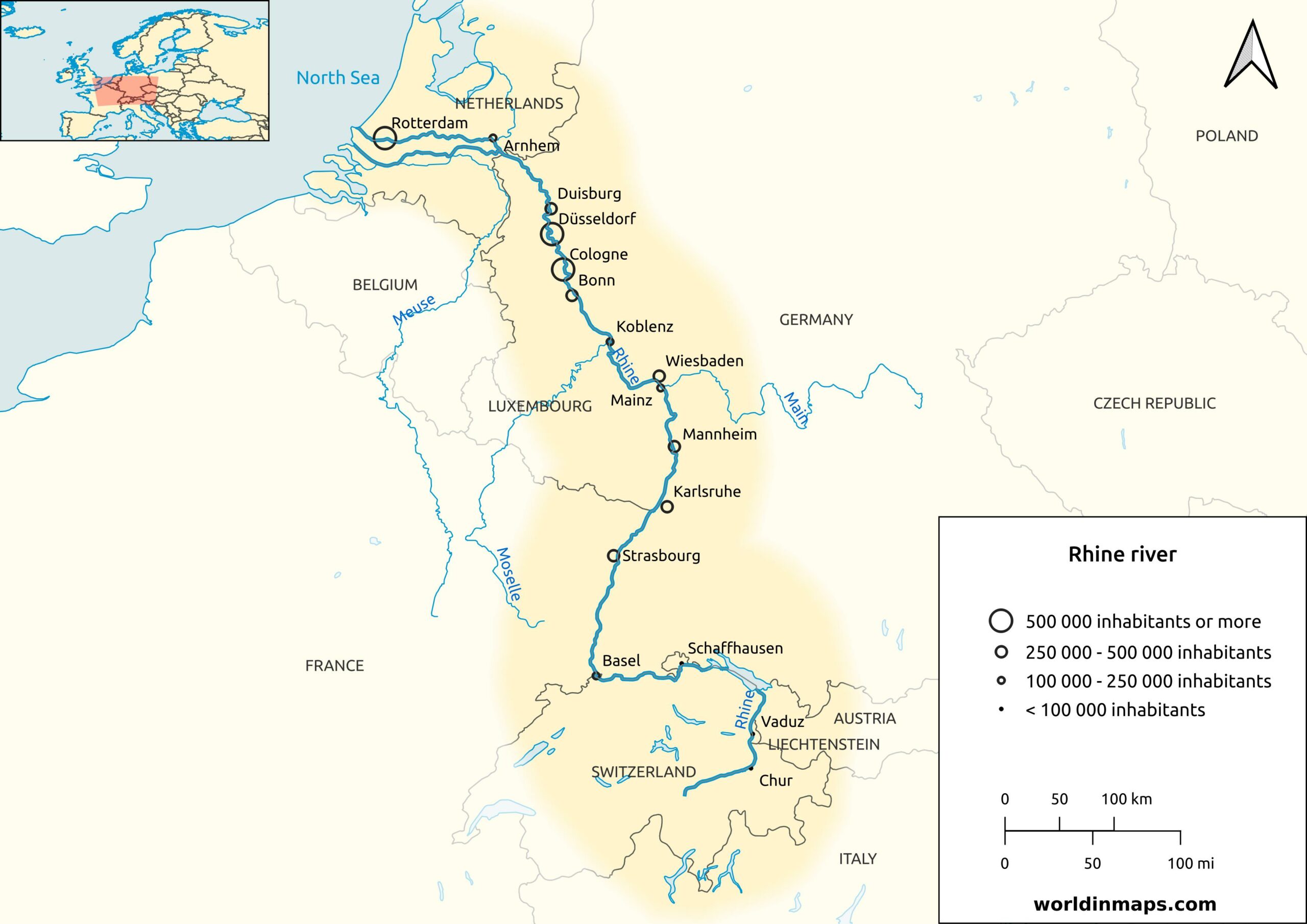
- Description:
- ~1,230 km, industrial artery.
- Formation:
- Alpine glacial drainage.
- Significance:
- Shipping, wine regions.
- Lakes
- Lake Ladoga (Russia):
-
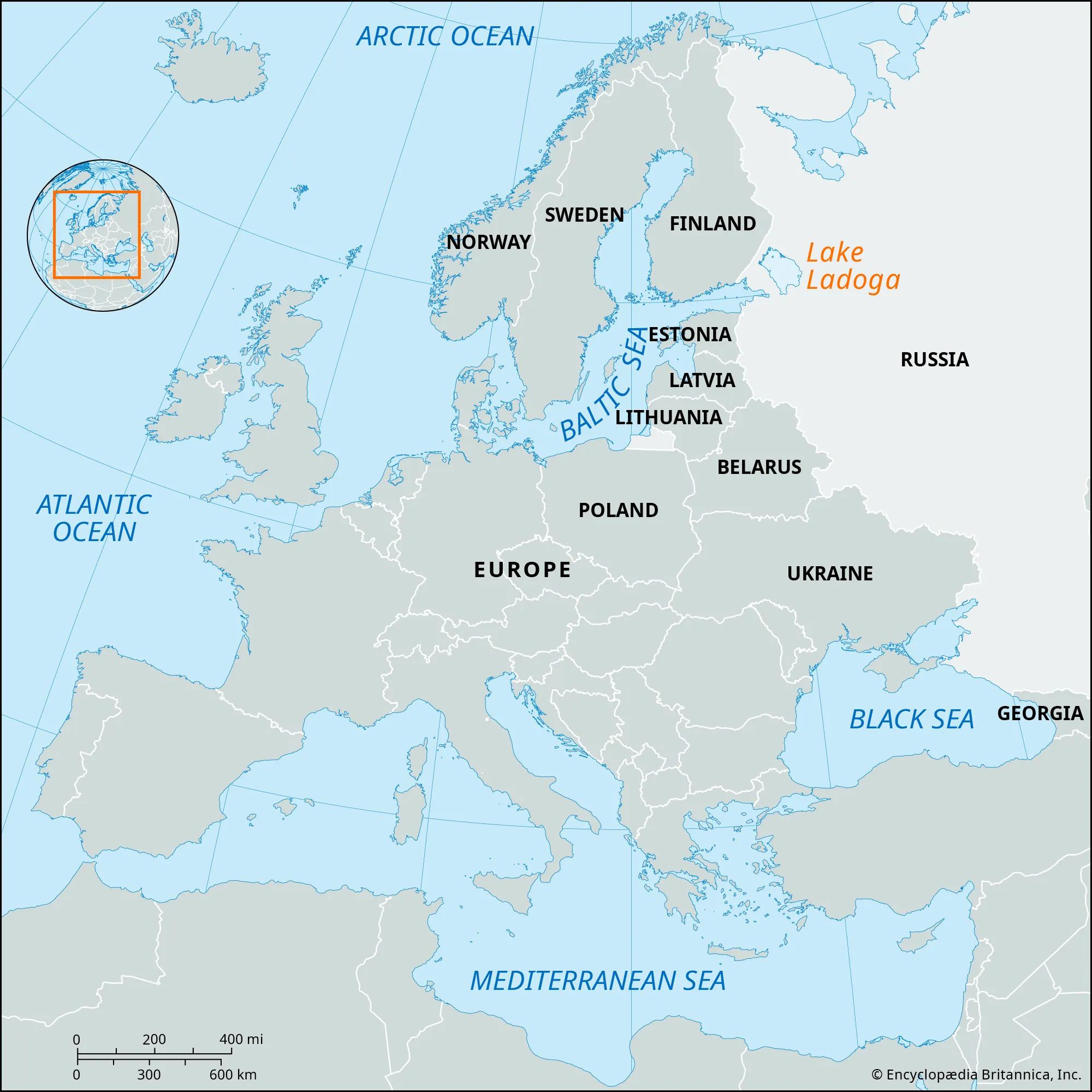
- Description:
- ~17,700 km², largest in Europe.
- Formation:
- Glacial scouring, tectonic basin.
- Significance:
- Fisheries, transport.
- Lake Onega (Russia):
-
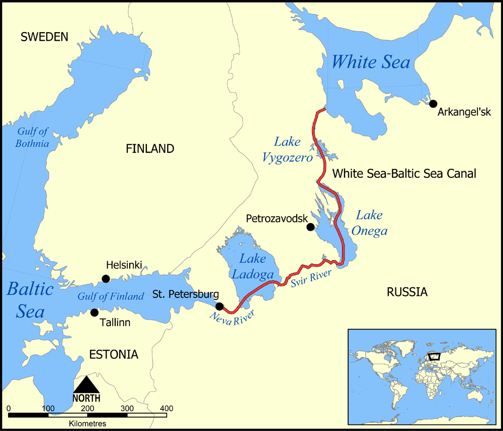
- Description:
- ~9,894 km², glacial lake.
- Formation:
- Glacial erosion, bedrock depression.
- Significance:
- Tourism, water supply.
- Lake Vänern (Sweden):
-
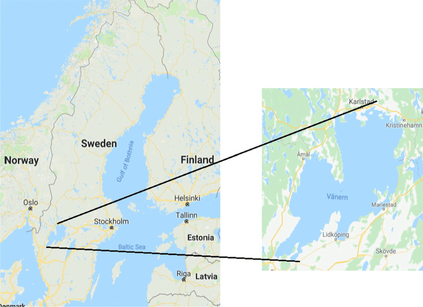
- Description:
- ~5,650 km², freshwater.
- Formation:
- Glacial scouring + isostatic.
- Significance:
- Recreation, hydropower.
- Basins
- Volga Basin (Russia):
-
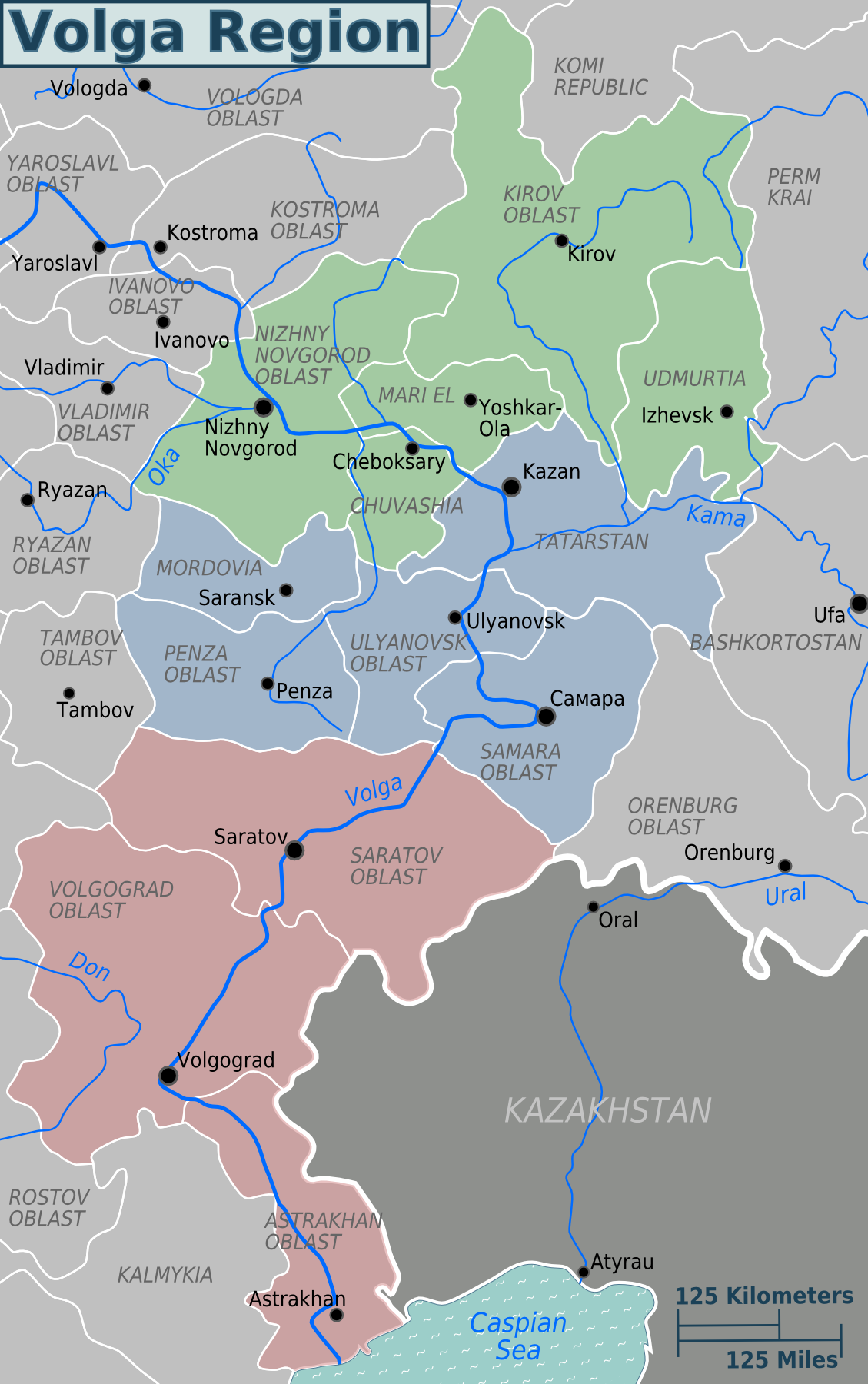
- Description:
- ~1.36 million km², fertile.
- Formation:
- Tectonic subsidence, fluvial.
- Significance:
- Agriculture, oil fields.
- Danube Basin (Germany, Hungary, Romania):
-
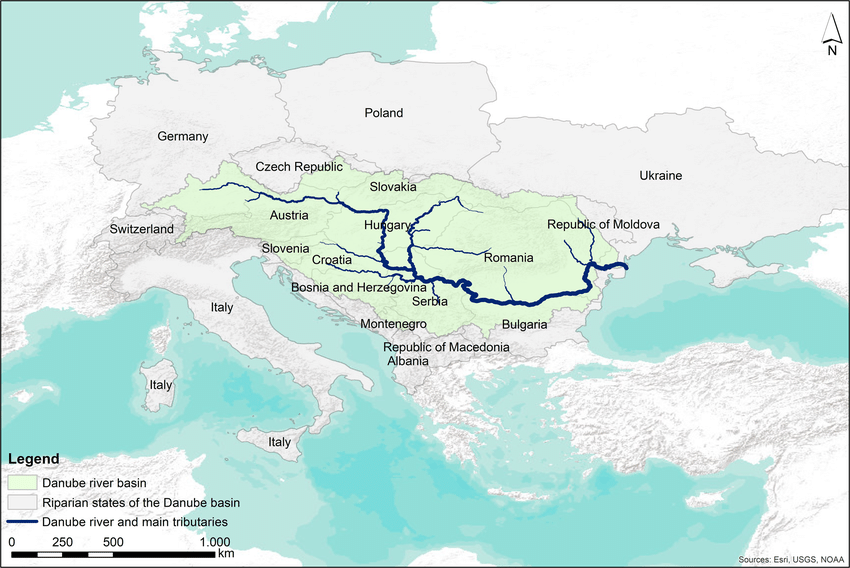
- Description:
- ~817,000 km², multi-national.
- Formation:
- Alpine drainage, alluvial.
- Significance:
- Agriculture, urban centers.
- Paris Basin (France):
-
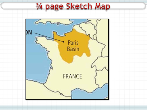
- Description:
- ~140,000 km², sedimentary.
- Formation:
- Tectonic depression, erosion.
- Significance:
- Agriculture, limestonr, wine, oil deposits (minor and irrelevant).
- Gulfs
- Gulf of Finland (Finland, Estonia):
-
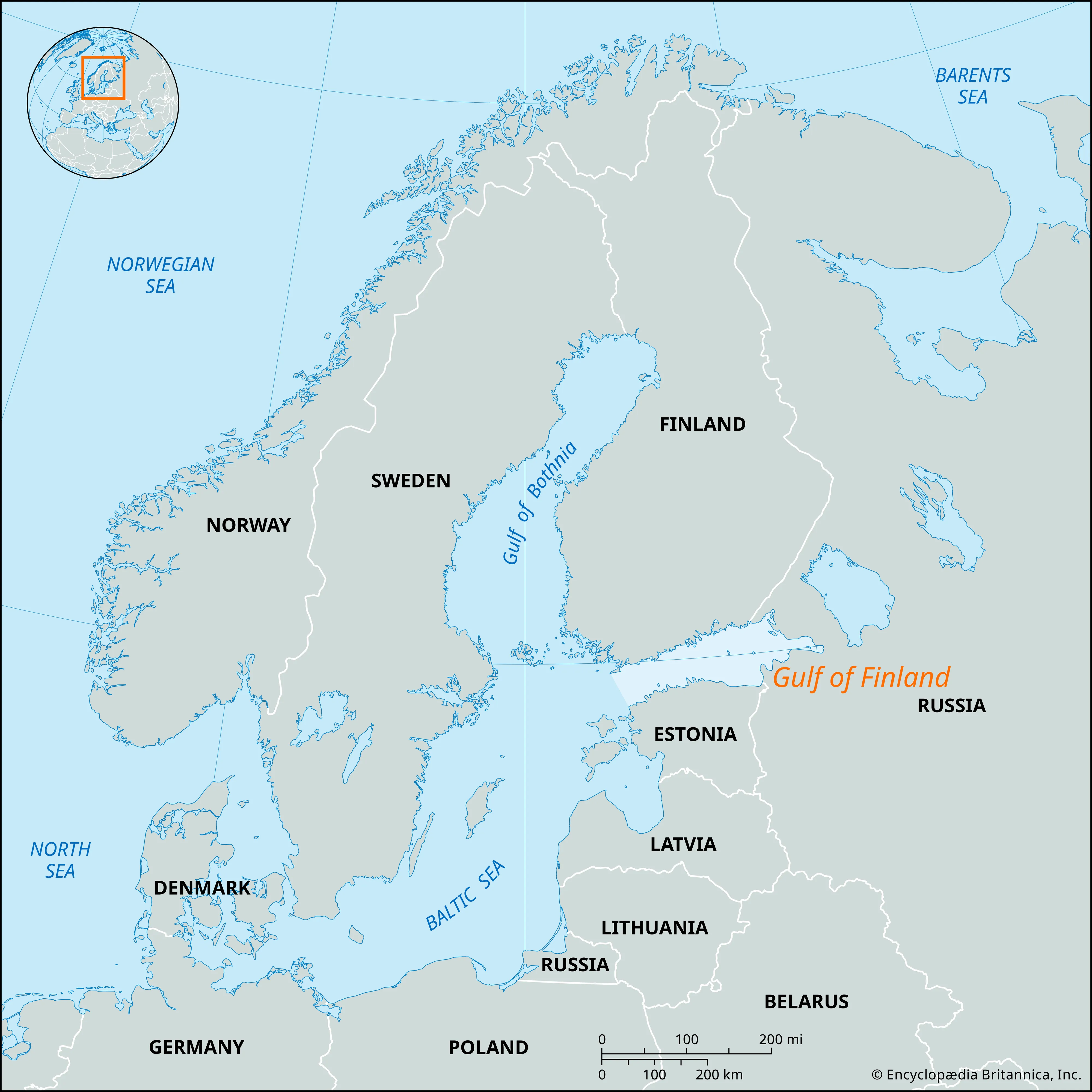
- Description:
- ~30,000 km², Baltic Sea.
- Formation:
- Glacial erosion, tectonic basin.
- Significance:
- Shipping, geopolitics.
- Gulf of Bothnia (Sweden, Finland):
-
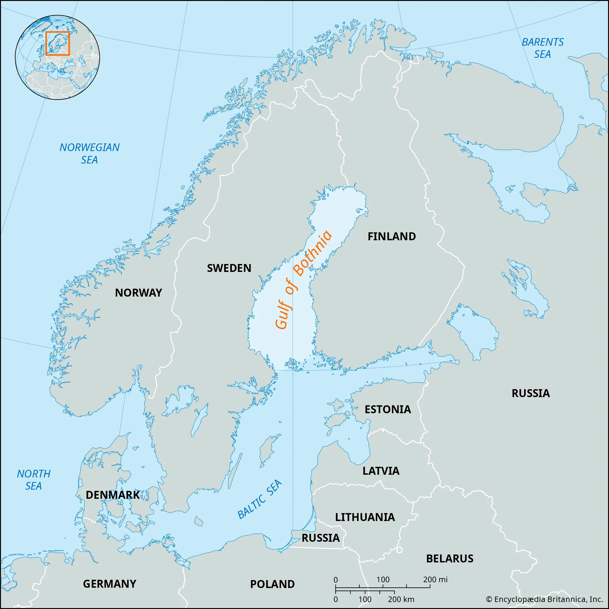
- Description:
- ~117,000 km², brackish.
- Formation:
- Glacial scouring, subsidence.
- Significance:
- Fisheries, trade.
- Gulf of Lions (France):
-
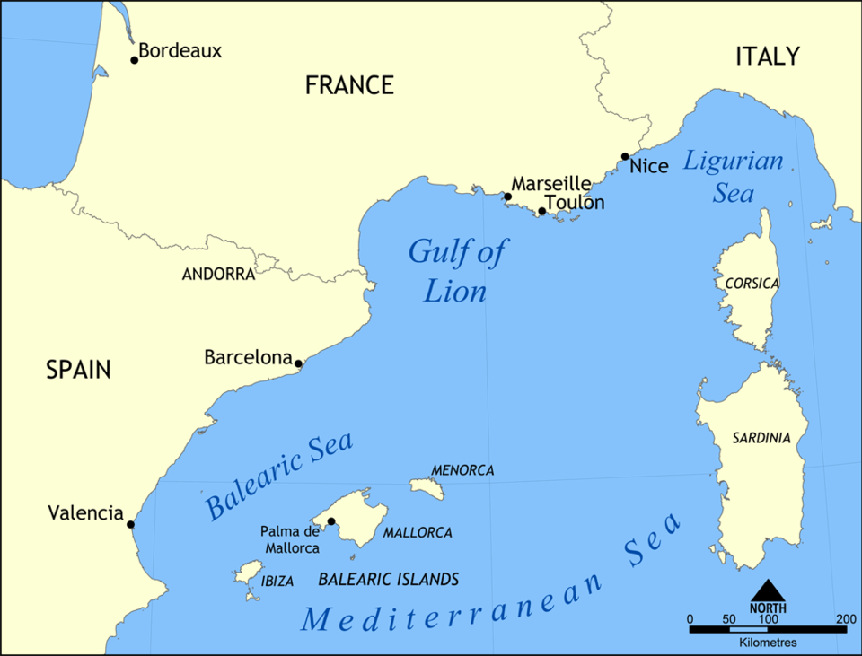
- Description:
- ~15,000 km², Mediterranean.
- Formation:
- Coastal indentation, tectonic.
- Significance:
- Tourism, fisheries.
- Islands
- Iceland
-
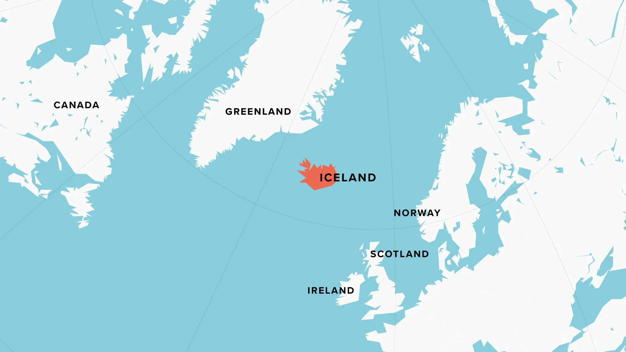
- Country:
- Iceland
- Description:
- ~103,000 km², volcanic.
- Formation:
- Mid-Atlantic Ridge volcanism.
- Great Britain
-
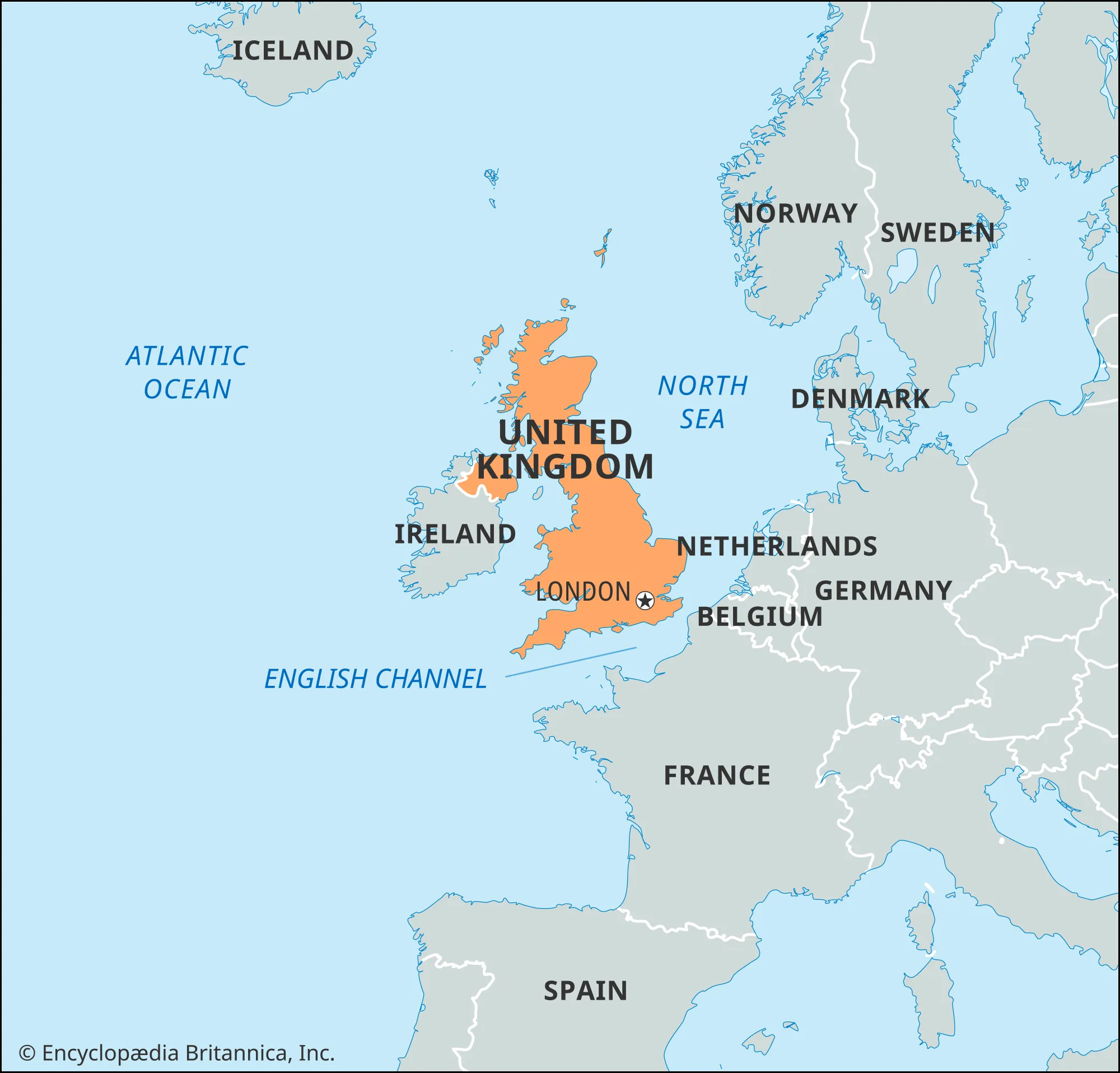
- Country:
- United Kingdom
- Description:
- ~243,610 km², largest island in Europe.
- Formation:
- Tectonic uplift, glacial erosion.
- Ireland
-
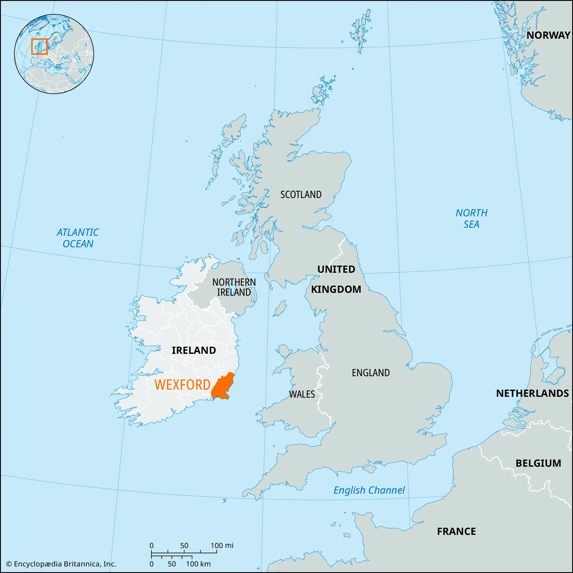
- Country:
- Ireland, United Kingdom
- Description:
- ~84,421 km², temperate.
- Formation:
- Tectonic separation, glacial.
- Sicily
-
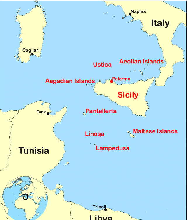
- Country:
- Italy
- Description:
- ~25,711 km², Mediterranean.
- Formation:
- Tectonic uplift, volcanic.
- Crete
-
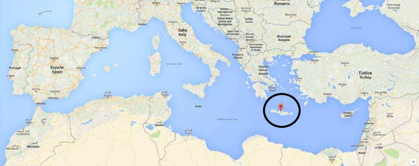
- Country:
- Greece
- Description:
- ~8,336 km², historic.
- Formation:
- Tectonic uplift, limestone.
- National Parks/Protected Areas
- Białowieża National Park (Poland, Belarus):
-
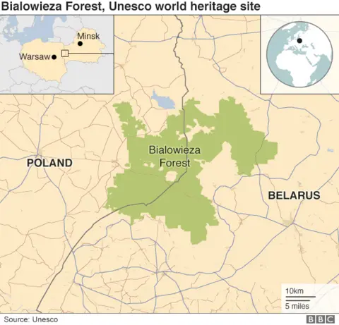
- Description:
- ~1,500 km², primeval forest.
- Significance:
- European bison, UNESCO site.
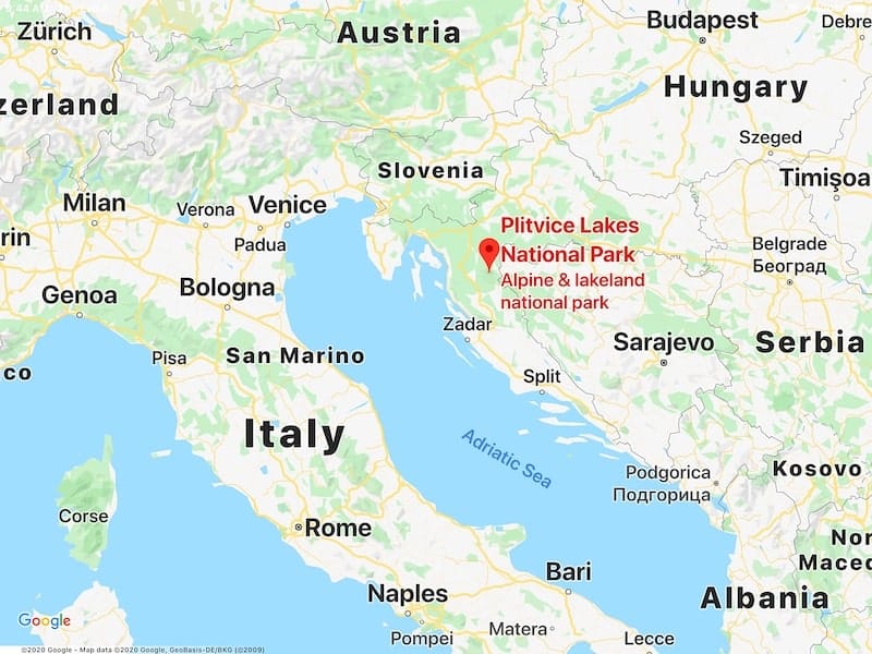
- Plitvice Lakes National Park (Croatia):
-
- Description:
- ~295 km², cascading lakes.
- Significance:
- UNESCO site, tourism.
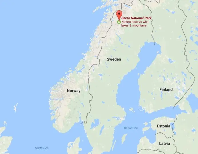
- Sarek National Park (Sweden):
-
- Description:
- ~1,970 km², Arctic wilderness.
- Significance:
- Glaciers, Sami culture.
- Biodiversity Hotspots
- Mediterranean Basin (Spain, Italy, Greece):
-
- Description:
- ~2 million km², diverse flora.
- Significance:
- Endemic species, agriculture pressure.
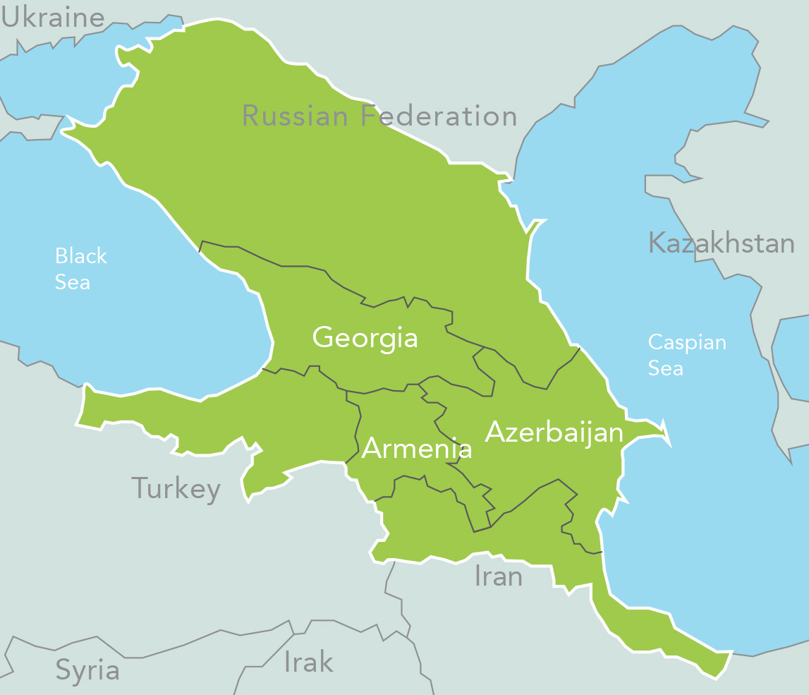
- Caucasus (Georgia, Armenia):
-
- Description:
- ~500,000 km², montane ecosystems.
- Significance:
- Unique biodiversity, conflict impact.
- Carpathian Mountains (Romania, Poland):
-
- Description:
- ~209,000 km², forest ecosystems.
- Significance:
- Brown bears, logging threats.
- Human Impact
- River Pollution (Danube):
- Industrial runoff degrades water quality.
- Deforestation (Carpathians):
- Logging reduces forest cover, impacts wildlife.
- Coastal Erosion (Mediterranean):
- Tourism and development degrade coastlines.
- Air Pollution (North European Plain):
- Urban emissions affect health, ecosystems.
- Australia
-
- Overview
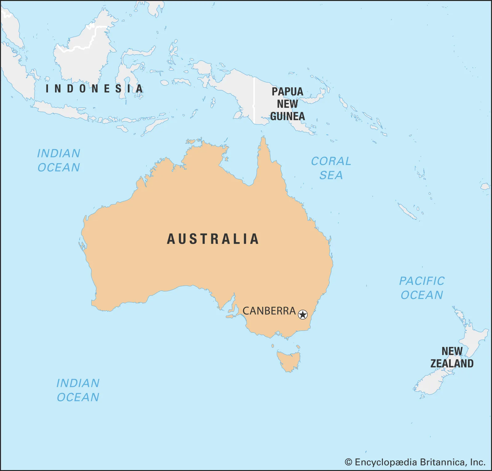
- Australia, the smallest continent, spans ~7.69 million km², with a population of ~27 million (2023).
- It features arid outback deserts, tropical rainforests, and coastal ranges, shaped by ancient cratons, erosion, and unique climatic patterns.
- Countries (3 recognized sovereign states)
- Australia
- Capital: Canberra
- Papua New Guinea
- Capital: Port Moresby
- Timor-Leste
- Capital: Dili
- Physiographic Divisions
- Australia’s landscape is divided into four regions:
1. Western Plateau:
-
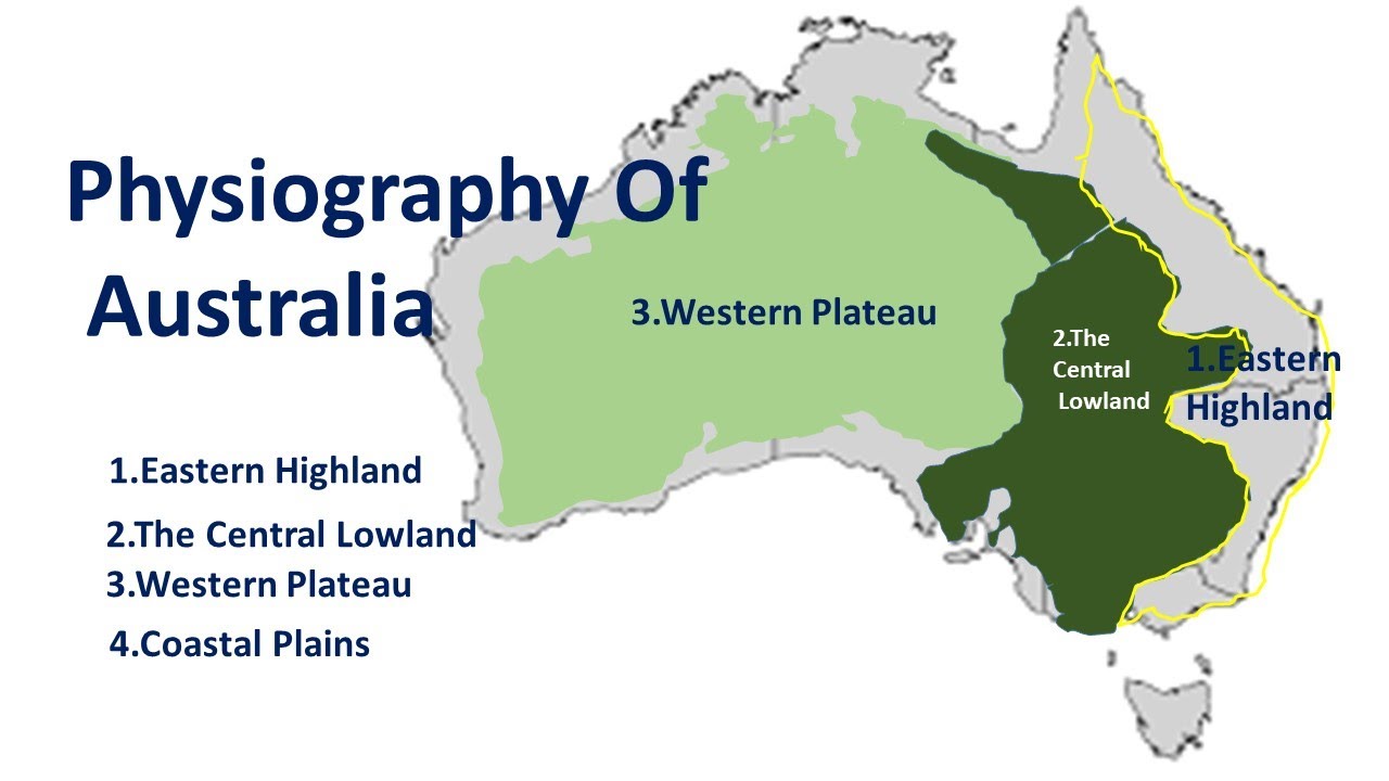
- Description:
- Vast, ancient, arid plateau.
- Location:
- Western and central Australia.
- Climate:
- Arid (BWh in Köppen).
- Features:
- Deserts, rocky outcrops.
- Countries:
- Australia.
2. Eastern Highlands:
-
- Description:
- Low mountain range, Great Dividing Range.
- Climate:
- Temperate to subtropical.
- Features:
- Forests, river valleys.
- Countries:
- Australia.
3. Central Lowlands:
-
- Description:
- Flat, sedimentary plains.
- Location:
- Central Australia.
- Climate:
- Semi-arid to arid.
- Features:
- Grasslands, salt lakes.
- Countries:
- Australia.
4. Coastal Plains:
-
- Description:
- Narrow, fertile coastal strips.
- Location:
- Eastern and northern coasts.
- Climate:
- Tropical to temperate.
- Features:
- Beaches, coral reefs.
- Countries:
- Australia.
- Formation:
- Ancient Gondwana cratons formed stable plateaus; tectonic uplift created highlands; erosion and deposition shaped lowlands and deserts.
- Major Physical Features
- Mountain Ranges
- Great Dividing Range (Australia):
-
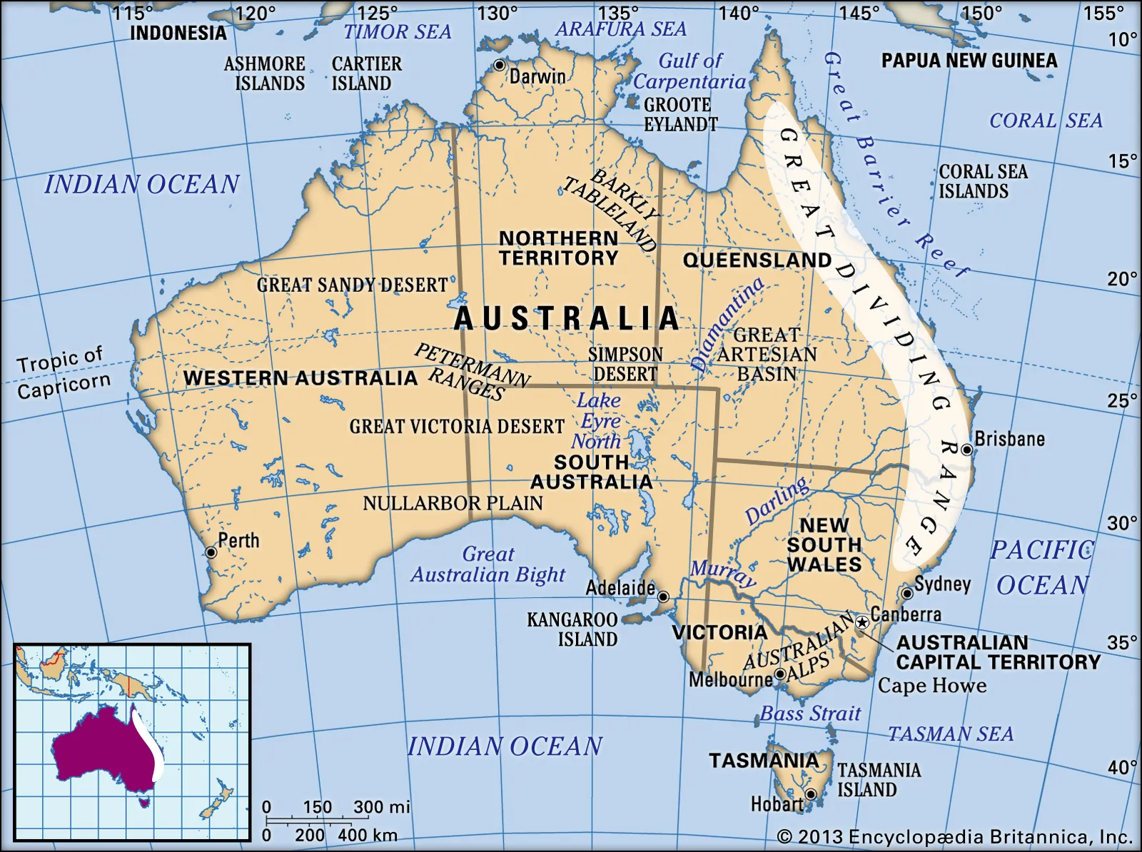
- Description:
- ~3,500 km, peaks at 2,228 m (Kosciuszko).
- Formation:
- Tectonic uplift, erosion, 300 million years ago.
- Significance:
- Rainfall divide, agriculture.
- New Guinea Highlands (Papua New Guinea):
-
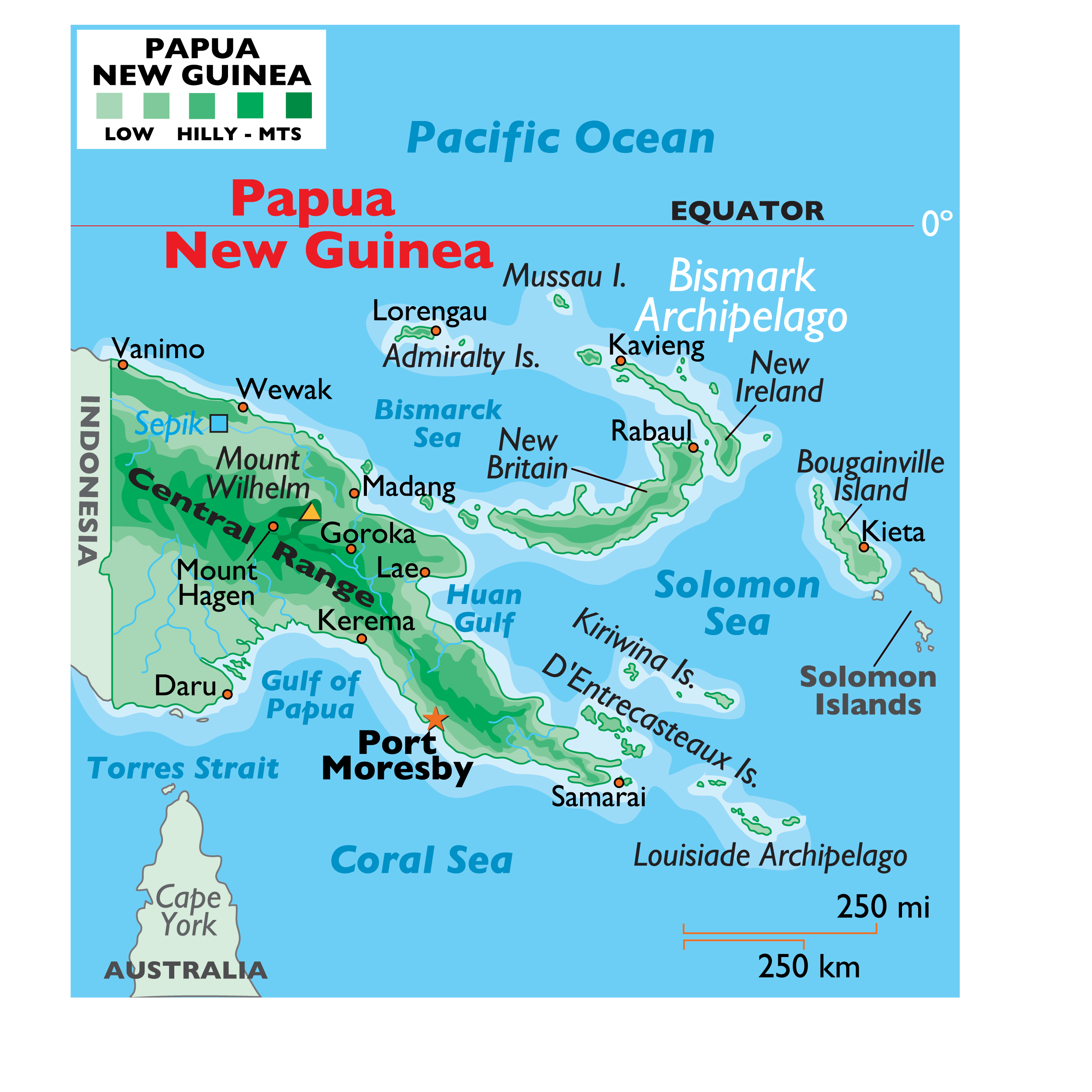
- Description:
- ~2,400 km, peaks at 4,884 m (Wilhelm).
- Formation:
- Collision of Australian and Pacific plates.
- Significance:
- Biodiversity, tribal cultures.
- Hamersley Range (Australia):
-
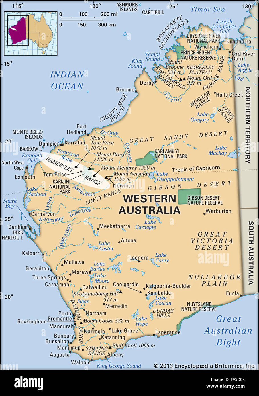
- Description:
- ~400 km, peaks at 1,245 m.
- Formation:
- Ancient craton, iron-rich folding.
- Significance:
- Iron ore mining.
- Plateaus
- Western Australian Plateau (Australia):
-
- Description:
- ~2.7 million km², ~500 m elevation.
- Formation:
- Ancient craton, minimal erosion.
- Significance:
- Mining, sparse population.
- Barkly Tableland (Australia):
-
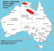
- Description:
- ~100,000 km², savanna plateau.
- Formation:
- Sedimentary uplift, erosion.
- Significance:
- Cattle ranching.
- Arnhem Land Plateau (Australia):
-
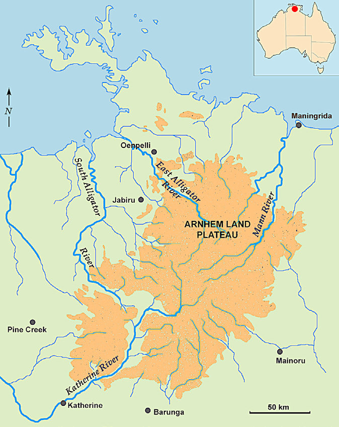
- Description:
- ~100,000 km², rugged sandstone.
- Formation:
- Erosion of ancient rocks.
- Significance:
- Indigenous lands, uranium.
- Plains
- Nullarbor Plain (Australia):
-
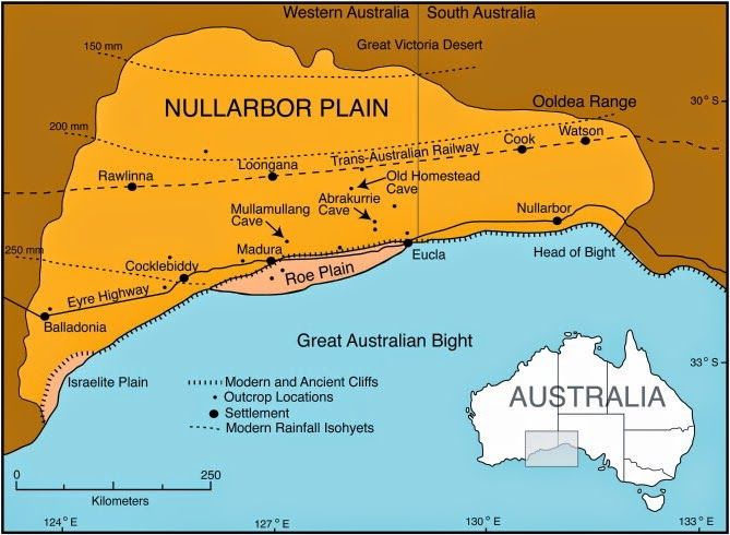
- Description:
- ~200,000 km², limestone plain.
- Formation:
- Marine sediment uplift, arid erosion.
- Significance:
- Trans-Australian Railway.
- Murray-Darling Basin (Australia):
-
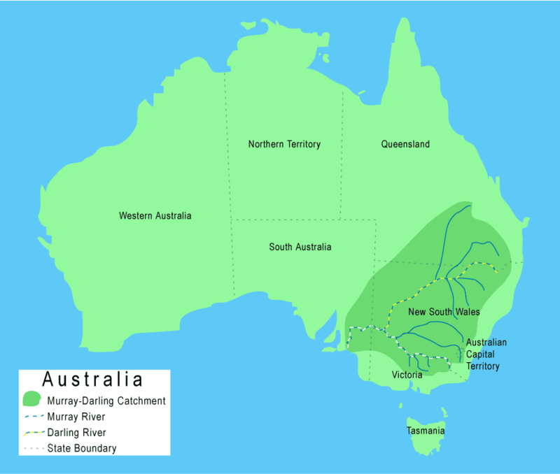
- Description:
- ~1 million km², fertile floodplain.
- Formation:
- Alluvial deposition, river systems.
- Significance:
- Agriculture, irrigation.
- Carpentaria Lowlands (Australia):
-
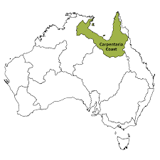
- Description:
- ~500,000 km², tropical savanna.
- Formation:
- Sedimentary deposition, coastal.
- Significance:
- Cattle grazing, wetlands.
- Deserts
- Great Victoria Desert (Australia):
-
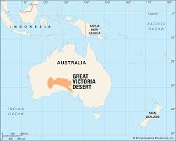
- Description:
- ~348,750 km², arid dune fields.
- Formation:
- Continental aridity, rain shadow.
- Significance:
- Indigenous lands, mineral deposits.
- Simpson Desert (Australia):
-
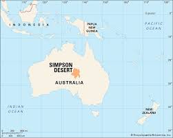
- Description:
- ~176,500 km², red sand dunes.
- Formation:
- Arid climate, wind erosion.
- Significance:
- Unique flora, tourism.
- Great Sandy Desert (Australia):
-
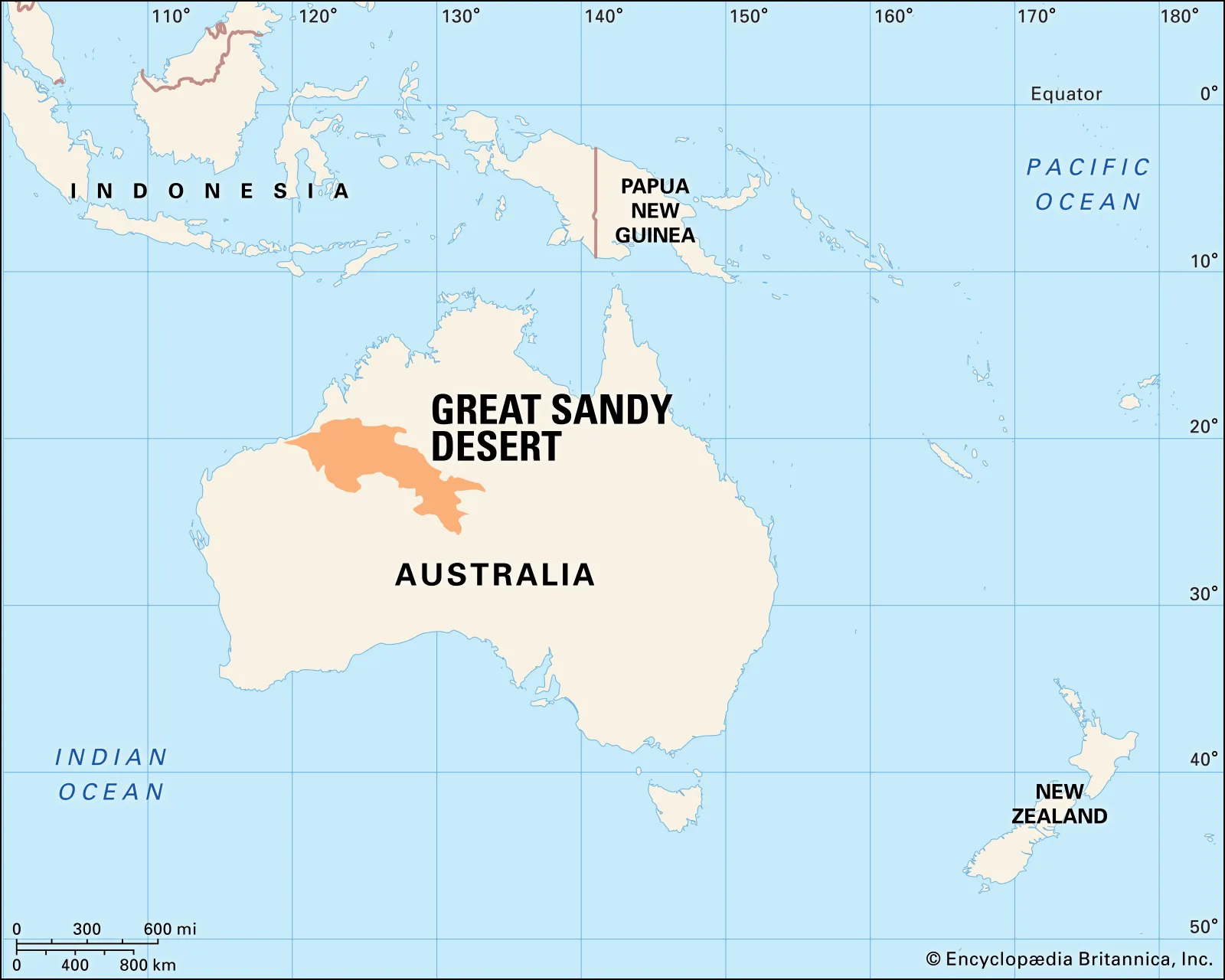
- Description:
- ~284,993 km², semi-arid.
- Formation:
- Limited rainfall, tectonic stability.
- Significance:
- Mining, Aboriginal heritage.
- Forests
- Daintree Rainforest (Australia):
-
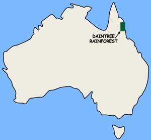
- Description:
- ~1,200 km², tropical rainforest.
- Formation:
- High rainfall, coastal climate.
- Significance:
- One of the oldest surviving tropical rainforests.
- Tasmanian Temperate Forest (Australia):
-
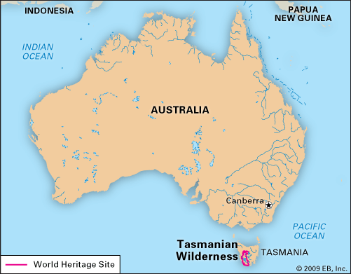
- Description:
- ~15,000 km², cool temperate.
- Formation:
- Oceanic moisture, glacial soils.
- Significance:
- Huon pine, UNESCO site.
- New Guinea Rainforest (Papua New Guinea):
-
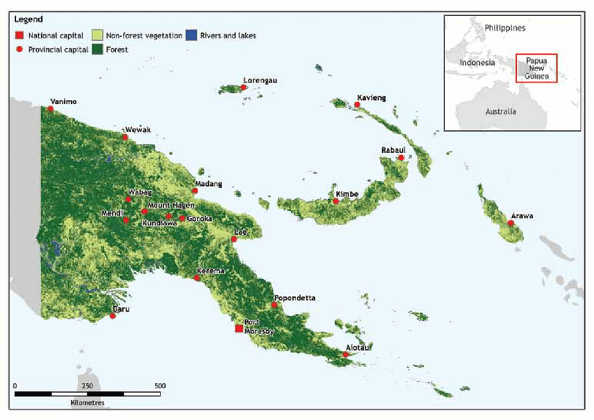
- Description:
- ~280,000 km², tropical.
- Formation:
- Equatorial rainfall, tectonic uplift.
- Significance:
- Endemic species, tribal lands.
- Major Water Bodies
- Rivers
- Murray River (Australia):
-
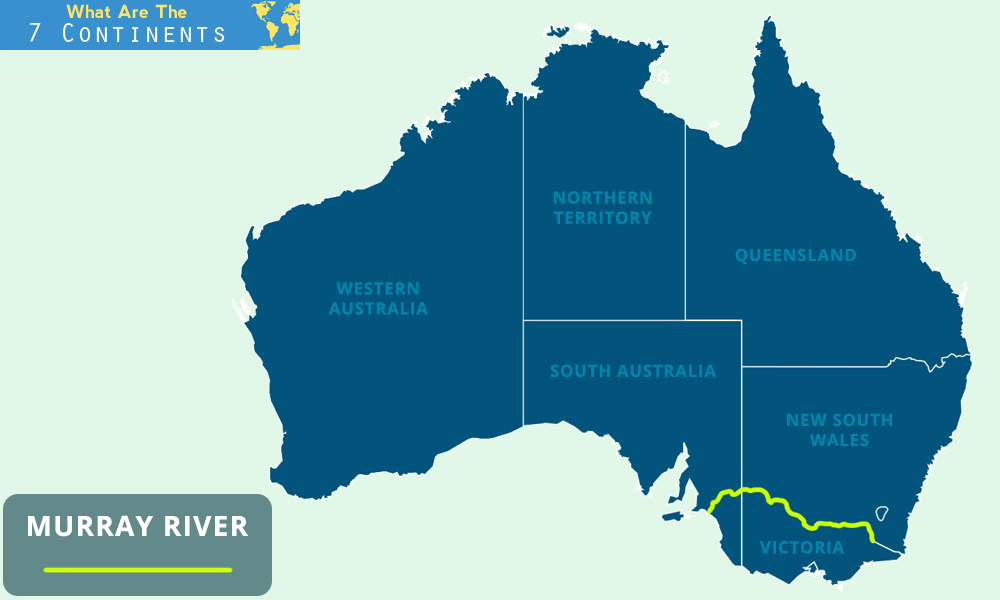
- Description:
- ~2,508 km, major waterway.
- Formation:
- Great Dividing Range runoff, alluvial.
- Significance:
- Irrigation, viticulture.
- Darling River (Australia):
-
- Description:
- ~1,472 km, Murray tributary.
- Formation:
- Sedimentary plain drainage.
- Significance:
- Agriculture, drought issues.
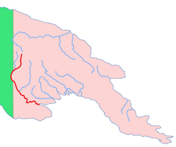
- Fly River (Papua New Guinea):
-
- Description:
- ~1,050 km, tropical flow.
- Formation:
- Highland runoff, tectonic valleys.
- Significance:
- Mining runoff, fisheries.
- Lakes
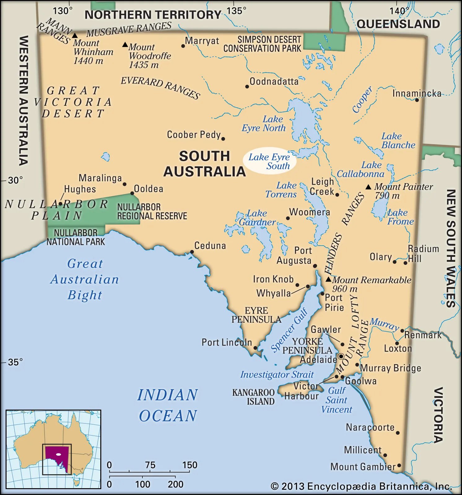
- Lake Eyre (Australia):
-
- Description:
- ~9,500 km² (when full), salt lake.
- Formation:
- Tectonic depression, arid climate.
- Significance:
- Rare flooding, birdlife.
- Lake Argyle (Australia):
-
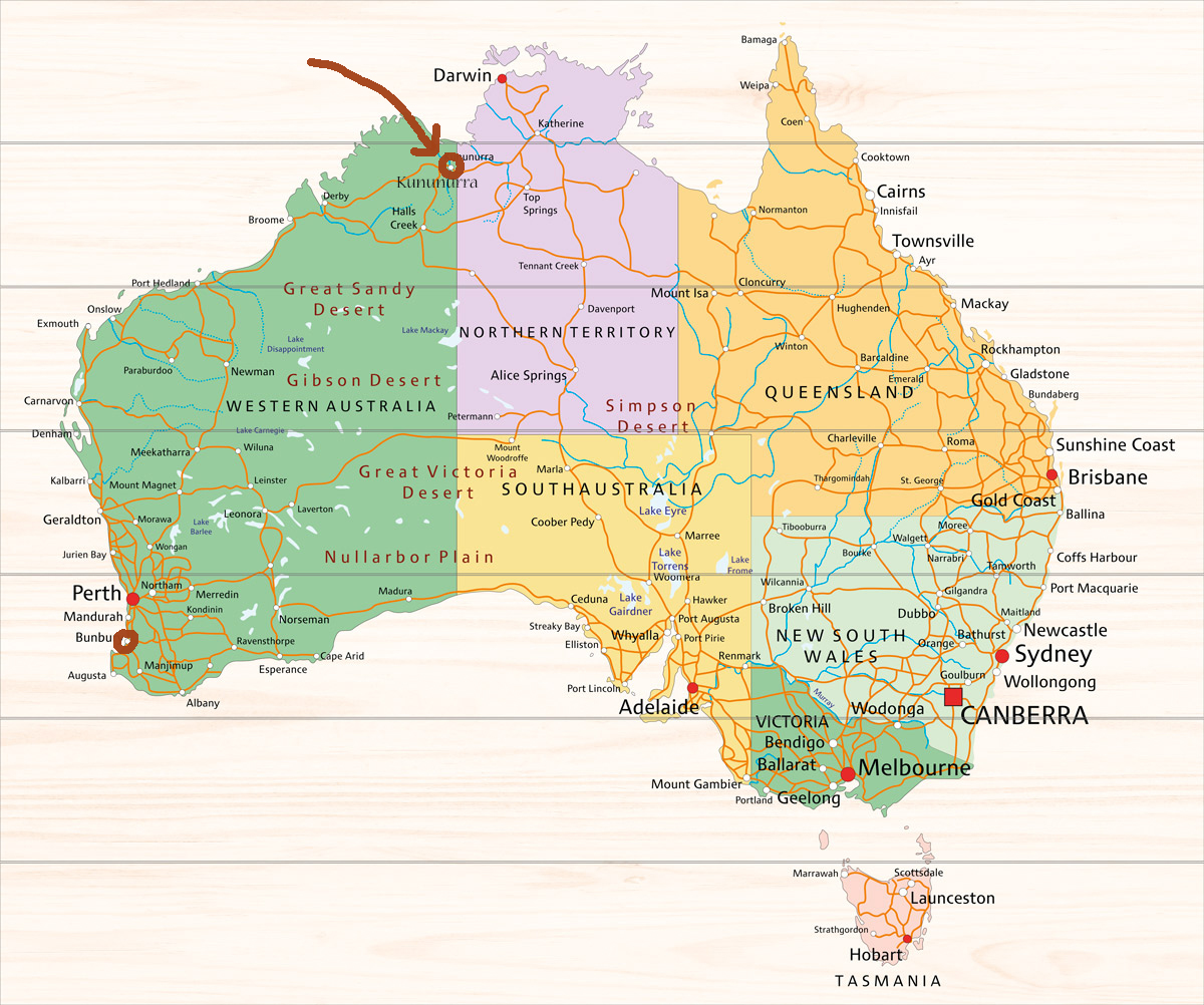
- Description:
- ~1,000 km², man-made.
- Formation:
- Dammed Ord River, tectonic basin.
- Significance:
- Irrigation, hydropower.
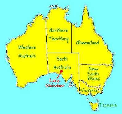
- Lake Gairdner (Australia):
-
- Description:
- ~4,351 km², salt lake.
- Formation:
- Tectonic depression, evaporation.
- Significance:
- Land speed records, tourism.
- Basins
- Murray-Darling Basin (Australia):
-
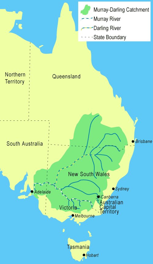
- Description:
- ~1.06 million km², fertile.
- Formation:
- Alluvial deposition, tectonic.
- Significance:
- Agriculture, water disputes.
- Great Artesian Basin (Australia):
-
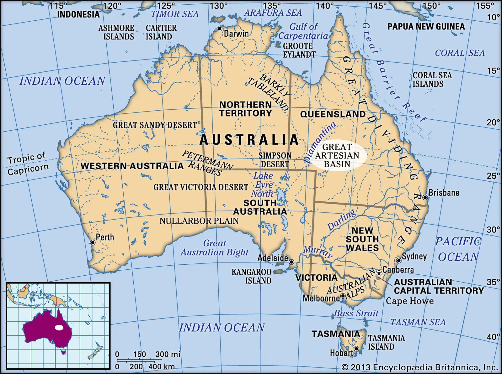
- Description:
- ~1.7 million km², underground aquifer.
- Formation:
- Sedimentary layers, tectonic.
- Significance:
- Pastoral water supply.
- Carpentaria Basin (Australia):
-
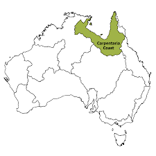
- Description:
- ~560,000 km², coastal.
- Formation:
- Sedimentary deposition, tectonic.
- Significance:
- Oil, gas exploration.
- Gulfs
- Gulf of Carpentaria (Australia):
-
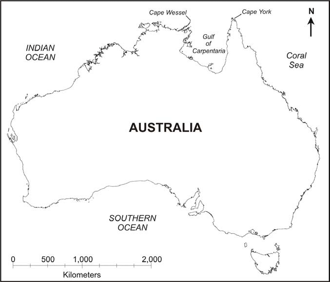
- Description:
- ~300,000 km², shallow sea.
- Formation:
- Continental shelf indentation.
- Significance:
- Fisheries, cyclone risk.
- Spencer Gulf (Australia):
-
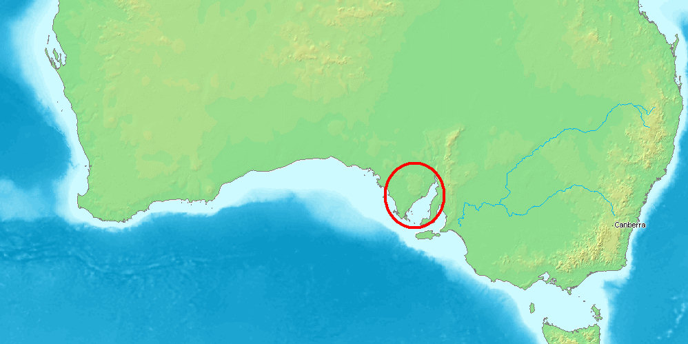
- Description:
- ~32,000 km², coastal.
- Formation:
- Tectonic subsidence, erosion.
- Significance:
- Shipping, aquaculture.
- Gulf St Vincent (Australia):
-
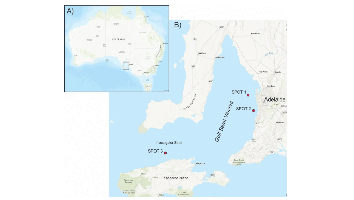
- Description:
- ~6,800 km², sheltered.
- Formation:
- Coastal indentation, tectonic.
- Significance:
- Adelaide port, tourism.
- Islands
- Tasmania
-
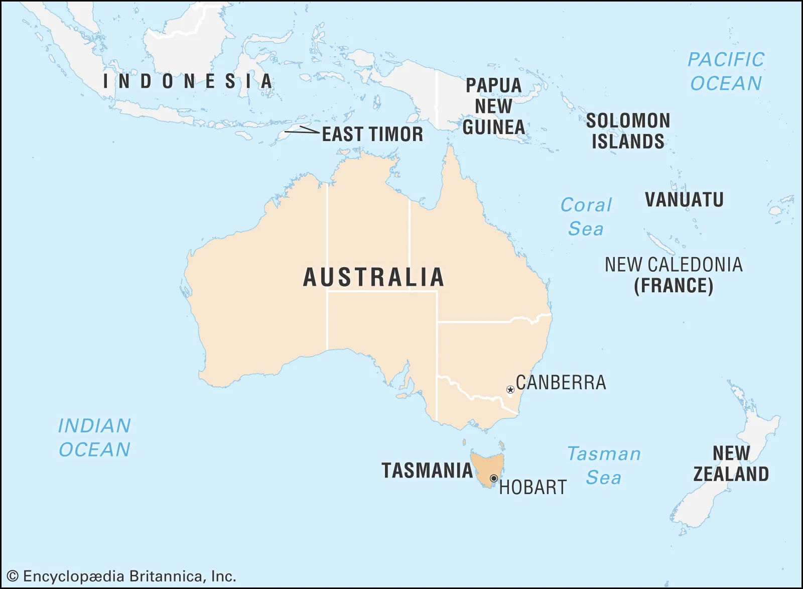
- Country:
- Australia
- Description:
- ~68,401 km², temperate island.
- Formation:
- Tectonic separation from Gondwana.
- New Guinea
-
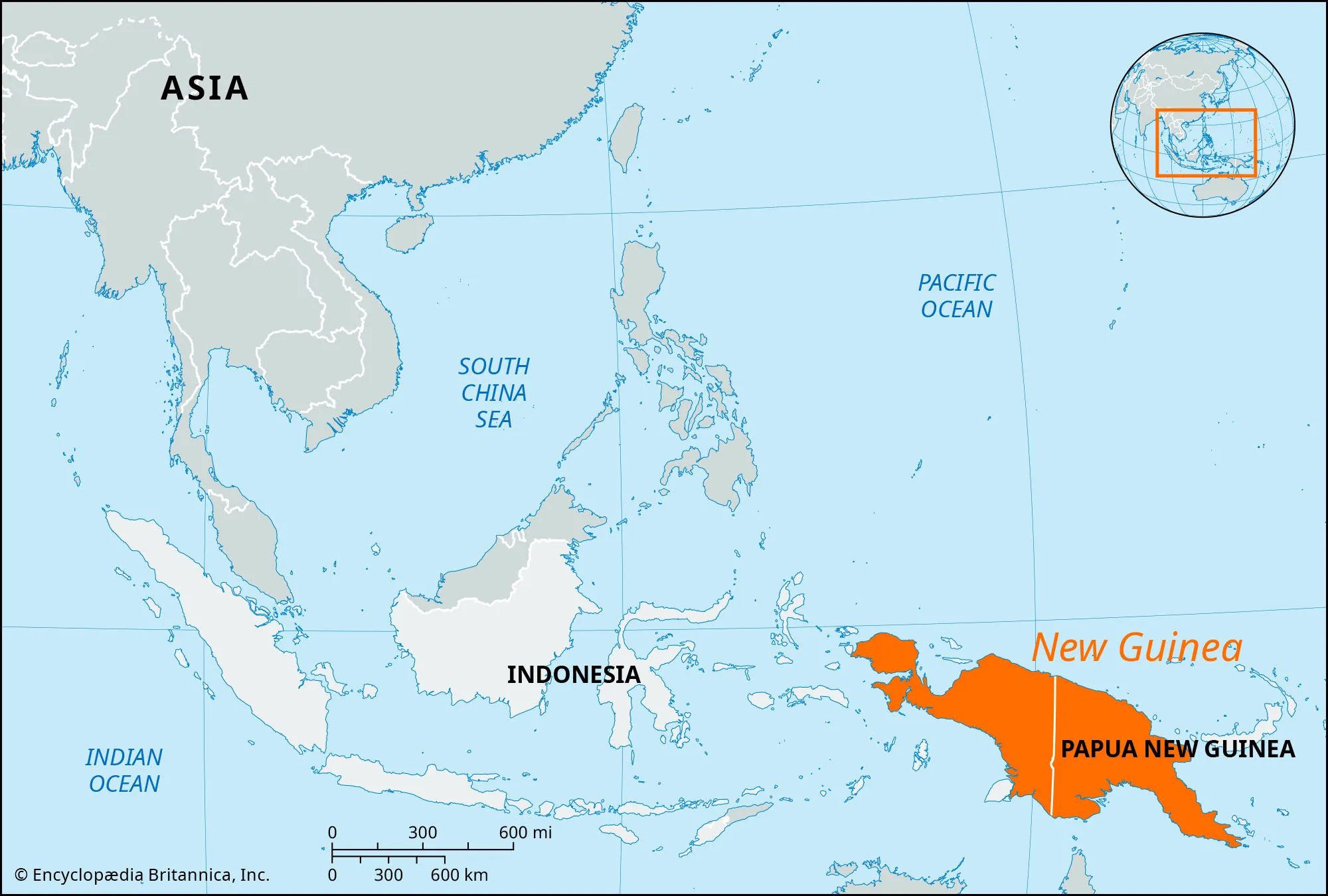
- Country:
- Papua New Guinea, Indonesia
- Description:
- ~785,753 km², second-largest island.
- Formation:
- Tectonic uplift, volcanic.
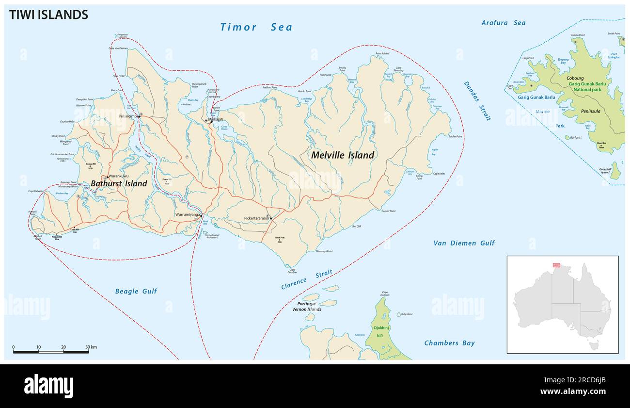
- Melville Island (Tiwi island)
-
- Country:
- Australia
- Description:
- ~5,786 km², tropical.
- Formation:
- Sedimentary uplift, erosion.
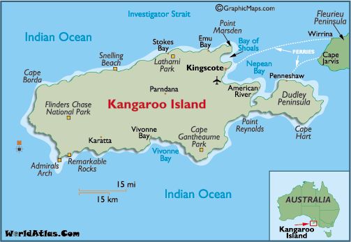
- Kangaroo Island
-
- Country:
- Australia
- Description:
- ~4,405 km², biodiversity hub.
- Formation:
- Glacial erosion, tectonic.
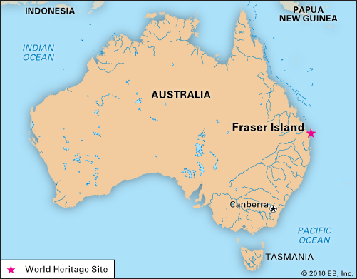
- Fraser Island
-
- Country:
- Australia
- Description:
- ~1,840 km², sand island.
- Formation:
- Windblown sand accumulation.
- National Parks/Protected Areas
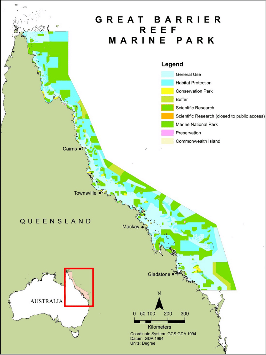
- Great Barrier Reef Marine Park (Australia):
-
- Description:
- ~344,400 km², coral reef system.
- Significance:
- UNESCO site, marine biodiversity.
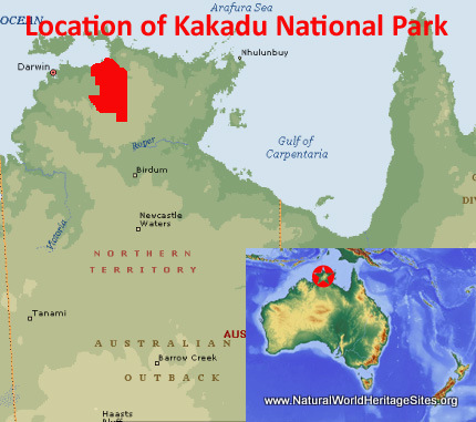
- Kakadu National Park (Australia):
-
- Description:
- ~19,804 km², wetlands and rock art.
- Significance:
- Indigenous heritage, biodiversity.
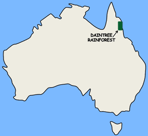
- Daintree National Park (Australia):
-
- Description:
- ~1,200 km², ancient rainforest.
- Significance:
- Endemic species, tourism.
- Biodiversity Hotspots
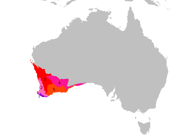
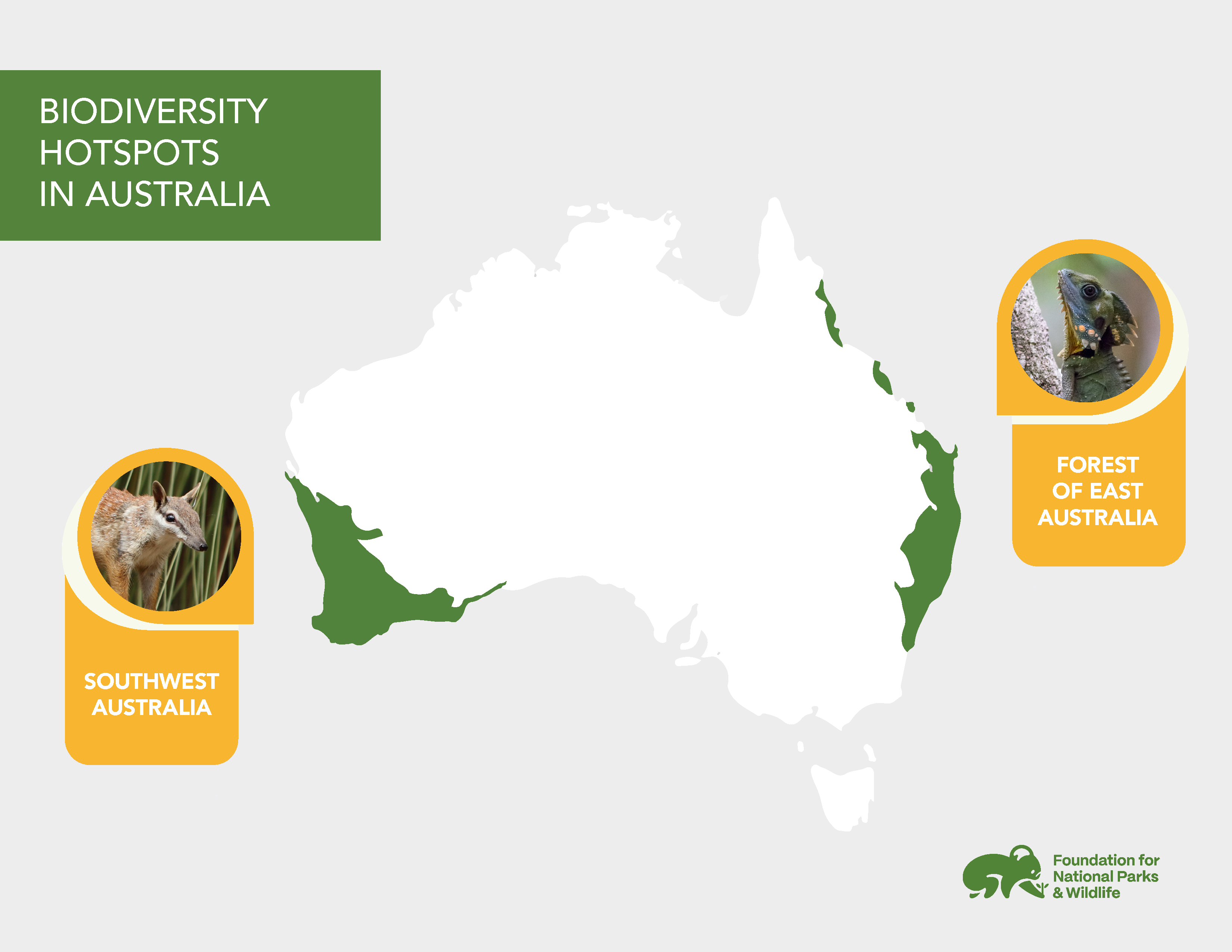
- Southwest Australia (Australia):
-
- Description:
- ~356,000 km², unique flora.
- Significance:
- Endemic wildflowers, urban threat.
- New Guinea (Papua New Guinea):
-
- Description:
- ~785,000 km², tropical ecosystems.
- Significance:
- Endemic birds, deforestation risk.
- Eastern Australia (Australia):
-
- Description:
- ~100,000 km², coastal forests.
- Significance:
- Koalas, eucalyptus, fire risk.
- Human Impact
- Great Barrier Reef Bleaching:
- Climate change and pollution harm coral ecosystems.
- Murray-Darling Overuse:
- Irrigation reduces river flow, impacts wetlands.
- Deforestation (New Guinea):
- Logging for palm oil threatens rainforests.
- Bushfires (Eastern Australia):
- Intense fires degrade forests, wildlife habitats.
- Antarctica
-
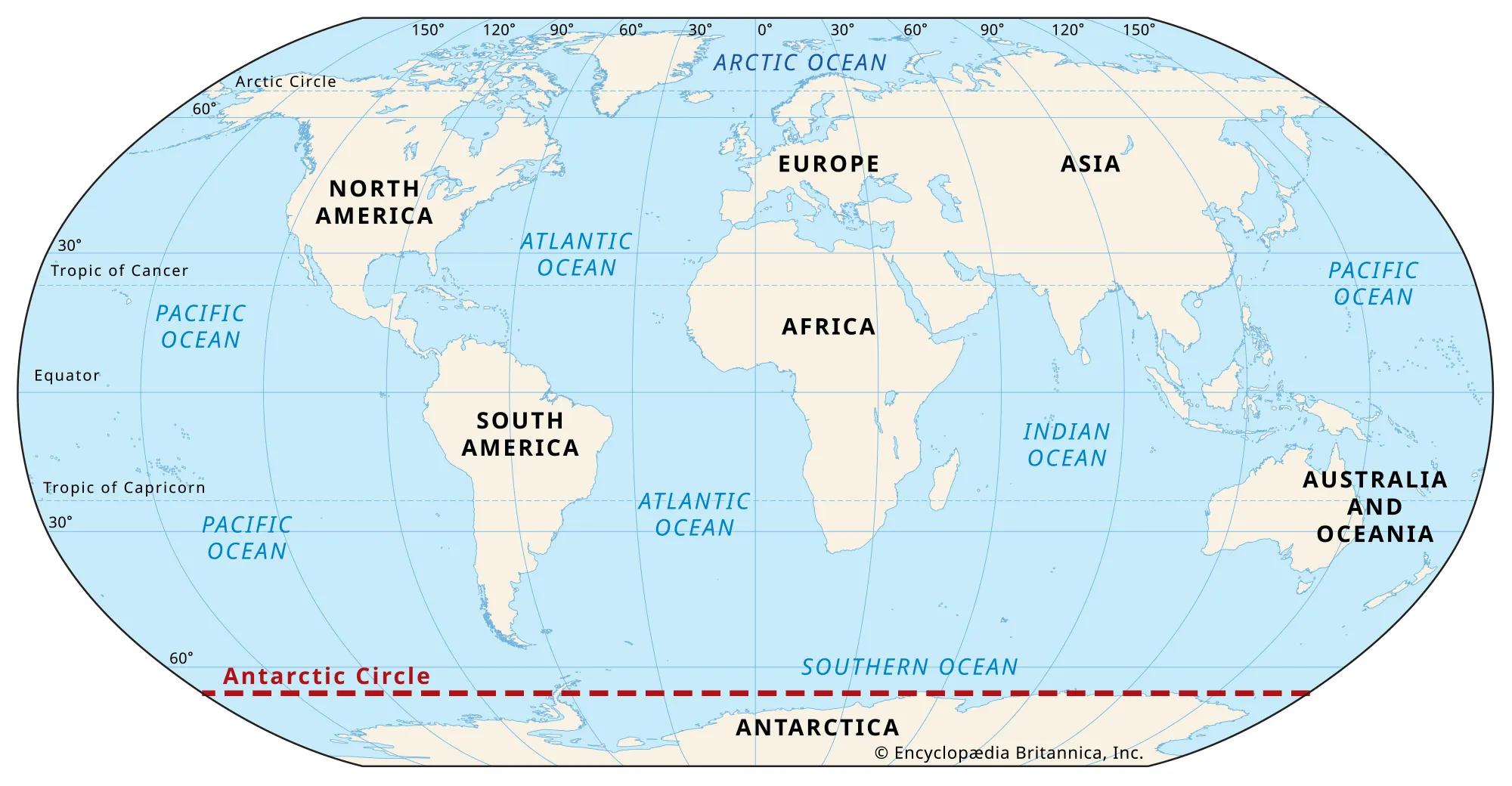
- Overview
- Antarctica, the fifth-largest continent, spans ~14 million km², with a transient population of ~1,000–5,000 researchers (2023).
- It is dominated by ice sheets, rugged mountains, and polar deserts, shaped by tectonic drift, glaciation, and extreme cold.
- Countries (0 recognized sovereign states)
- None
- Governed by the Antarctic Treaty System (1959), with territorial claims by 7 nations (Argentina, Australia, Chile, France, New Zealand, Norway, United Kingdom) but no sovereign control.
- Physiographic Divisions
- Antarctica’s landscape is divided into three regions:
1. East Antarctic Plateau:
-
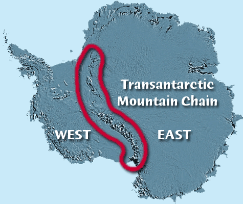
- Description:
- Vast, high ice-covered plateau.
- Location:
- Eastern Antarctica.
- Climate:
- Polar (EF in Köppen), coldest on Earth.
- Features:
- Ice sheets, subglacial lakes.
- Countries:
- None (claims by Australia, Norway).
2. West Antarctic Ice Sheet:
-
- Description:
- Lower, unstable ice sheet, marine-based.
- Climate:
- Polar, milder near coast.
- Features:
- Ice shelves, volcanic activity.
- Countries:
- None (claims by Chile, UK, Argentina).
3. Transantarctic Mountains:
-
- Description:
- Major mountain range dividing East and West.
- Location:
- Central Antarctica.
- Climate:
- Polar, dry with katabatic winds.
- Features:
- Exposed peaks, fossils.
- Countries:
- None (claims by New Zealand).
- Formation:
- Gondwana breakup isolated Antarctica 180 million years ago; tectonic drift to polar position and global cooling triggered massive glaciation.
- Major Physical Features
- Mountain Ranges
- Transantarctic Mountains (Antarctica):
-
- Description:
- ~3,500 km, peaks at 4,528 m (Mt. Kirkpatrick).
- Formation:
- Tectonic uplift, rift formation, 55 million years ago.
- Significance:
- Divides ice sheets, fossil deposits.
- Ellsworth Mountains (Antarctica):
-
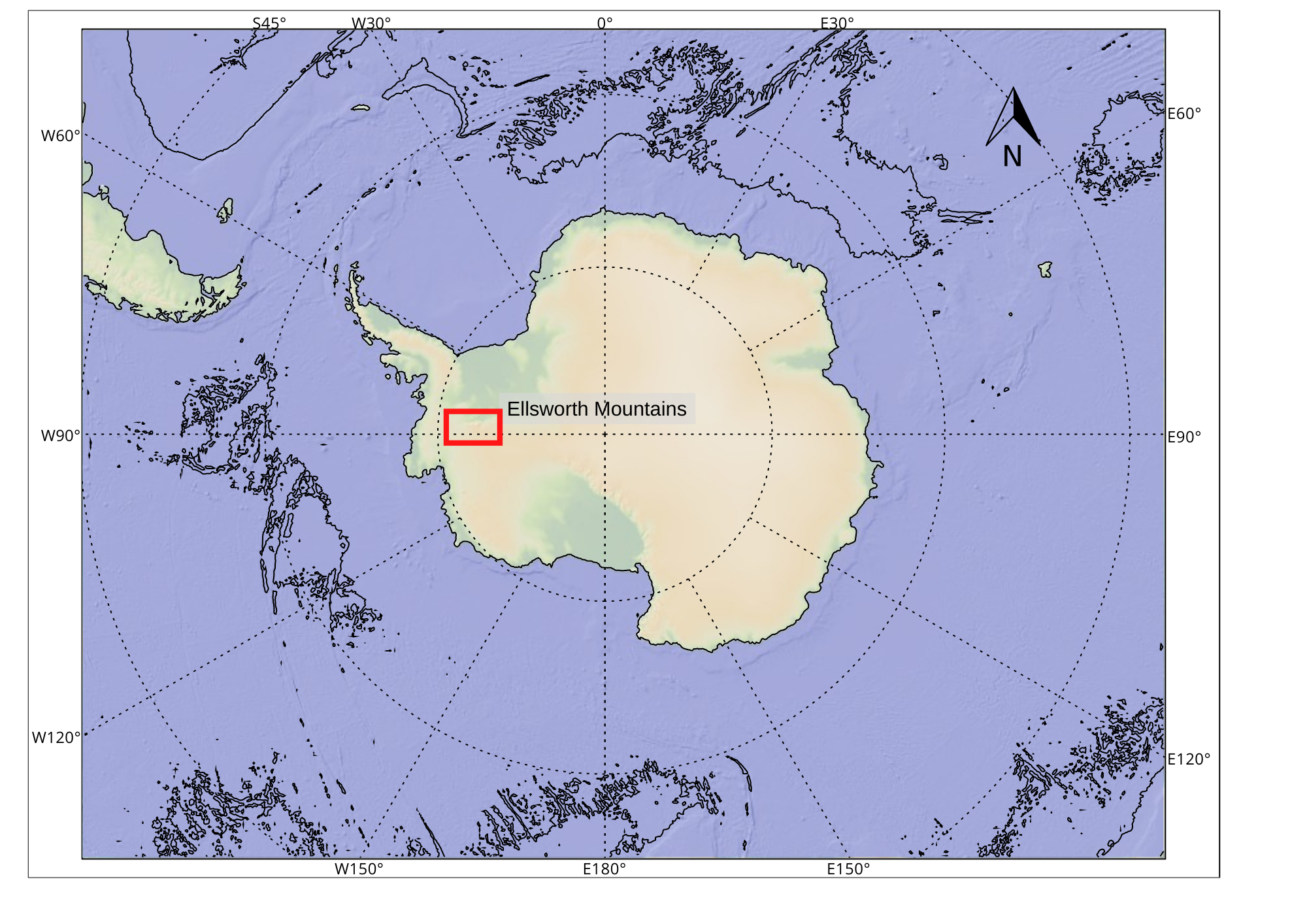
- Description:
- ~360 km, peaks at 4,892 m (Vinson Massif).
- Formation:
- Folded during Gondwana collision.
- Significance:
- Highest peak, climbing destination.
- Gamburtsev Mountains (Antarctica):
-
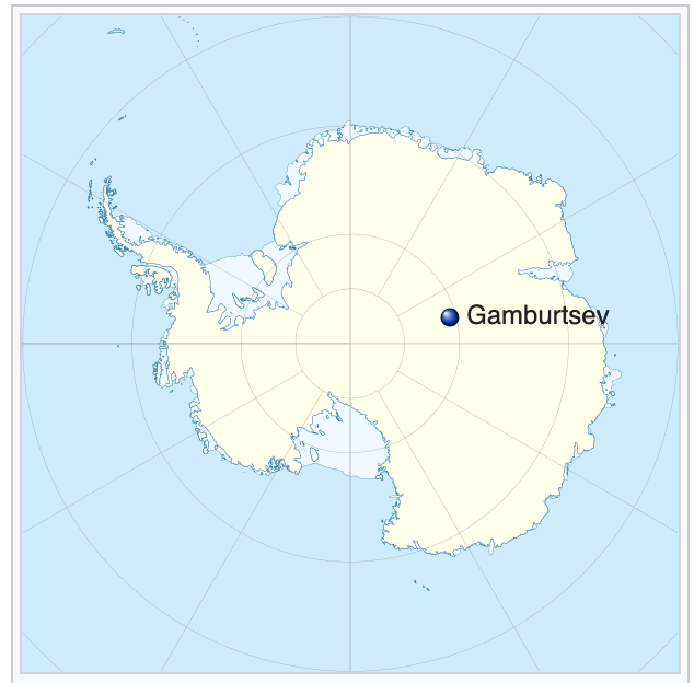
- Description:
- ~1,200 km, subglacial, peaks at 3,400 m.
- Formation:
- Ancient orogeny, buried by ice.
- Significance:
- Influences ice flow, geological mystery.
- Plateaus
- East Antarctic Plateau / Polar plateau (Antarctica):
-
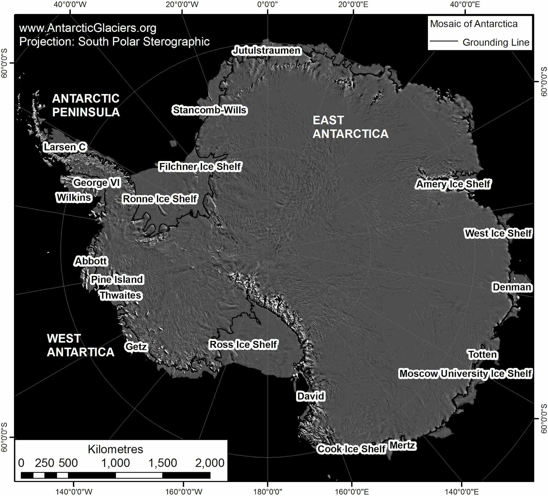
-
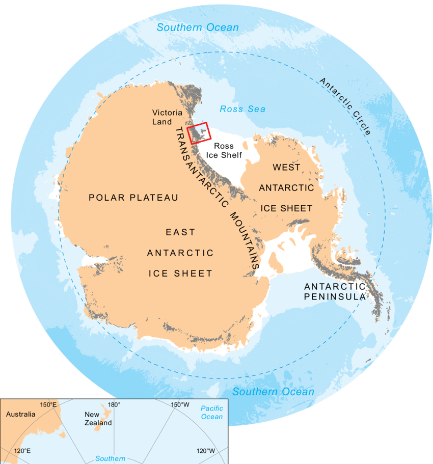
- Description:
- ~10 million km², ~3,000 m elevation, central ice dome
- Formation:
- Tectonic stability, ice accumulation.
- Ice sheet buildup, glacial compression.
- Significance:
- Coldest region, research hub.
- West Antarctic Plateau (Antarctica):
-
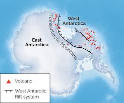
- Description:
- ~2 million km², lower elevation.
- Formation:
- Tectonic subsidence, ice cover.
- Significance:
- Vulnerable to melting, sea-level rise.
- Plains
- No significant plains due to ice cover; limited exposed areas exist as nunataks or coastal flats.
- McMurdo Dry Valleys (Antarctica):
-
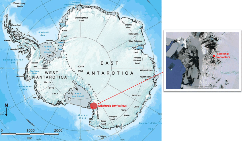
- Description:
- ~4,800 km², ice-free valleys.
- Formation:
- Katabatic winds prevent ice buildup.
- Significance:
- Mars-like terrain, research site.
- Deserts
- Antarctic Polar Desert (Antarctica):
-
- Description:
- ~13.8 million km², coldest desert.
- Formation:
- Extreme aridity, low precipitation (<200 mm/year).
- Significance:
- Unique microbial life, climate studies.
- Forests
- No forests due to polar climate and ice cover; fossilized forests from warmer eras exist.
- Beardmore Glacier Fossils (Antarctica):
-
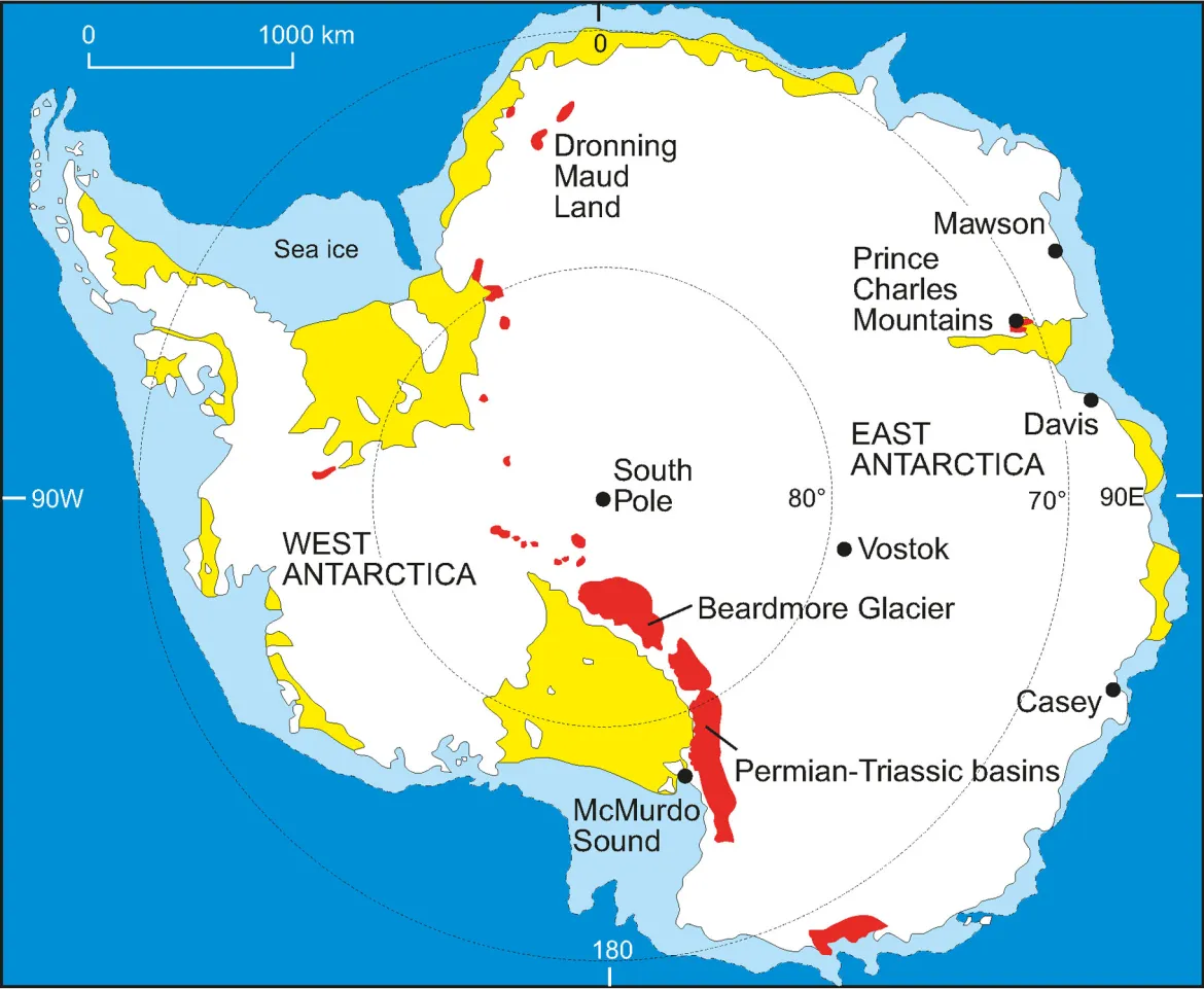
- Description:
- Fossilized trees, 250 million years old.
- Formation:
- Ancient temperate climate, Gondwana.
- Significance:
- Evidence of past ecosystems.
- Major Water Bodies
- Rivers
- No significant rivers due to ice cover; meltwater streams are seasonal.
- Onyx River (Antarctica):
-
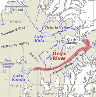
- Description:
- ~32 km, seasonal meltwater stream.
- Formation:
- Glacial melt in McMurdo Dry Valleys.
- Significance:
- Longest stream, research focus.
- Lakes
- Lake Vostok (Antarctica):
-
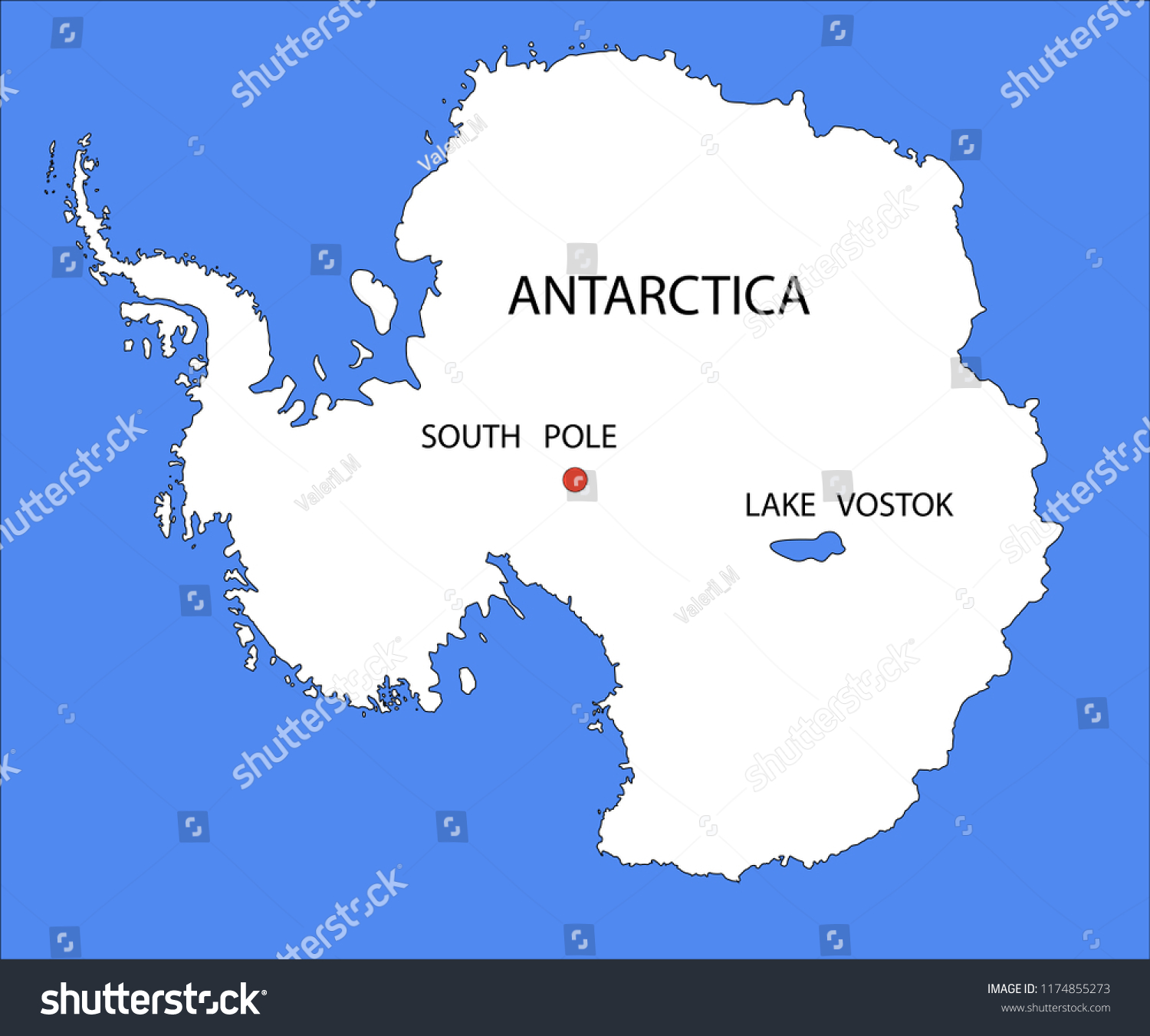
- Description:
- ~12,500 km², subglacial, largest.
- Largest known subglacial lake.
- Formation:
- Subglacial lake maintained by geothermal heat and ice pressure.
- Significance:
- Ancient microbes, climate data.
- Lake Ellsworth (Antarctica):
-
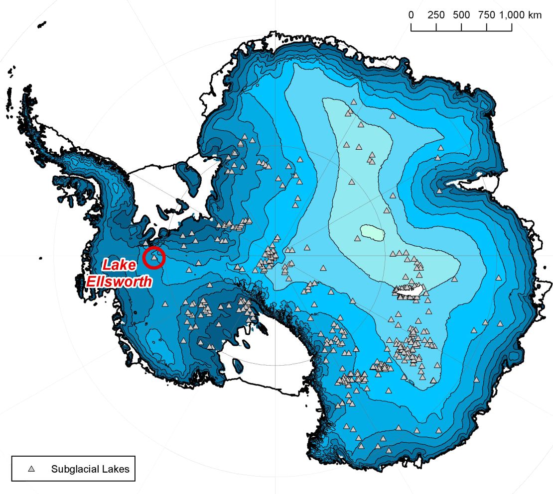
- Description:
- ~370 km², subglacial.
- Formation:
- Ice sheet pressure, tectonic basin.
- Significance:
- Potential life, drilling target.
- Lake Whillans (Antarctica):
-
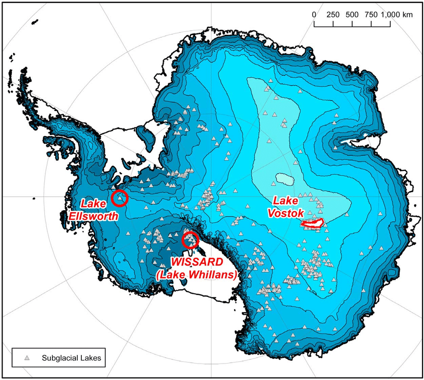
- Description:
- ~60 km², subglacial, dynamic.
- Formation:
- Purely subglacial hydrological system.
- Significance:
- Active microbial ecosystem.
- Basins
- Wilkes Basin (Antarctica):
-
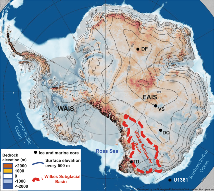
- Description:
- ~1 million km², subglacial basin.
- Formation:
- Tectonic subsidence, ice cover.
- Significance:
- Vulnerable to ice melt, sea-level rise.
- Bentley Subglacial Trench (Antarctica):
-
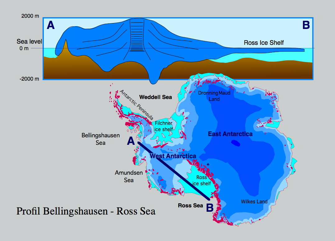
- Description:
- ~255,000 km², deepest basin.
- Formation:
- Tectonic rift, glacial erosion.
- Significance:
- One of the deepest known subglacial basins.
- Aurora Basin (Antarctica):
-
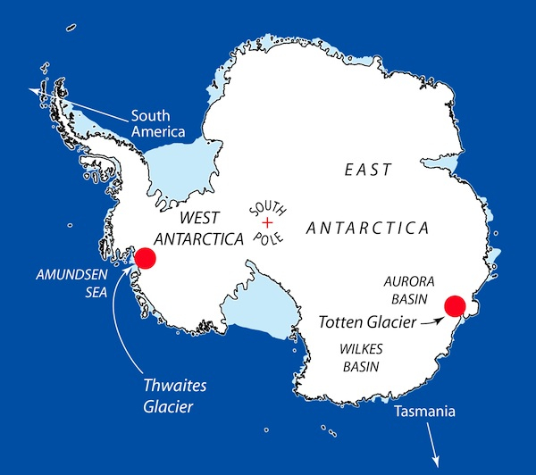
- Description:
- ~700,000 km², East Antarctica.
- Formation:
- Tectonic depression, ice accumulation.
- Significance:
- Stable ice, climate research.
- Gulfs
- Weddell Sea (Antarctica):
-
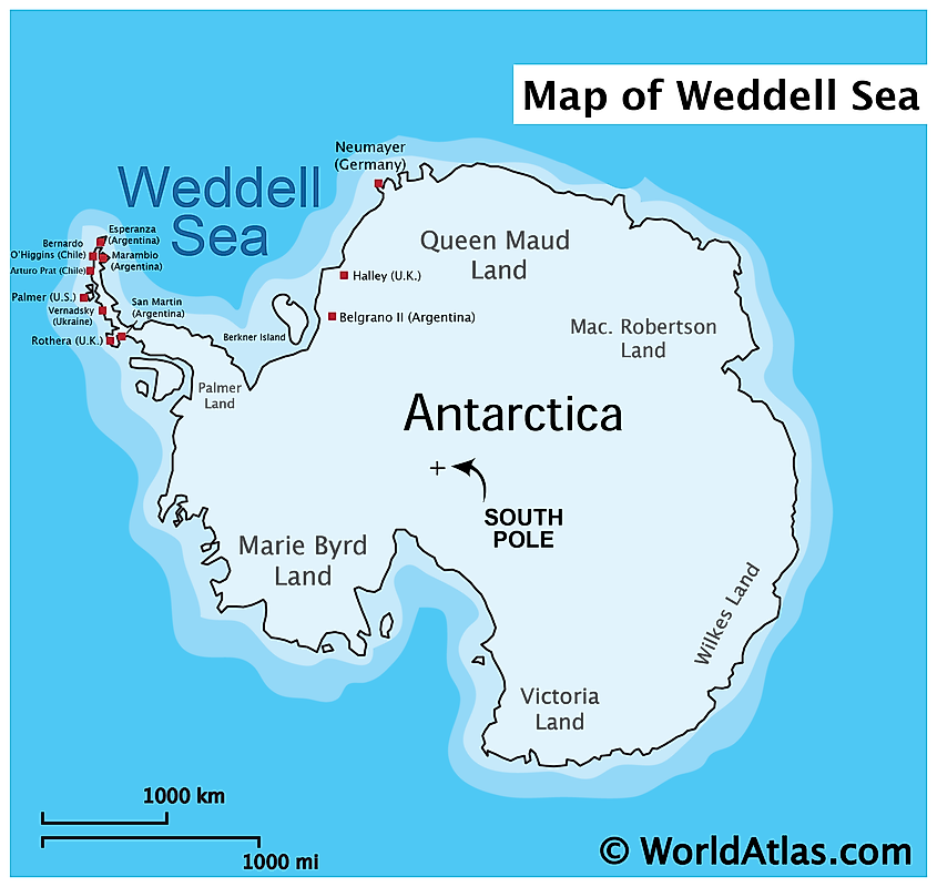
- Description:
- ~2.8 million km², ice-covered.
- Formation:
- Tectonic basin, ice shelf indentation.
- Significance:
- Ronne Ice Shelf, marine life.
- Ross Sea (Antarctica):
-
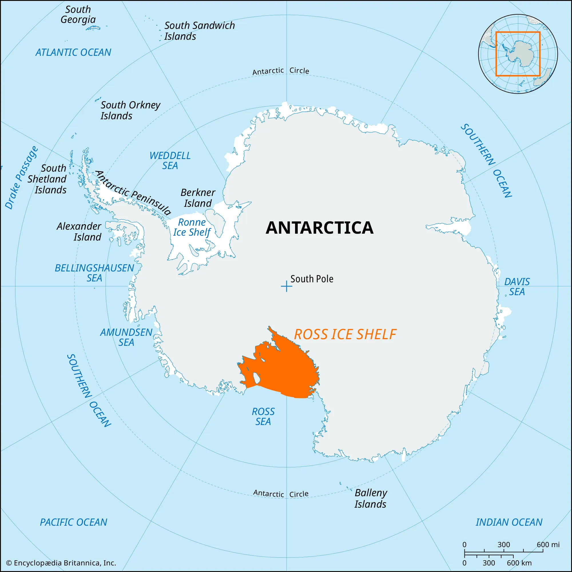
- Description:
- ~960,000 km².
- Formation:
- Glacial erosion, tectonic basin.
- Significance:
- Ross Ice Shelf, biodiversity.
- Amundsen Sea (Antarctica):
-
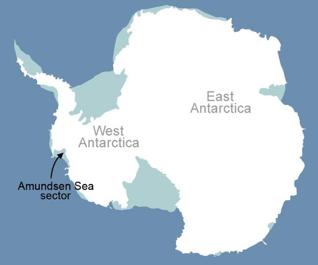
- Description:
- ~400,000 km², warming waters.
- Formation:
- Coastal indentation, tectonic.
- Significance:
- Rapid ice melt, climate concern.
- Islands
- Alexander Island
-
- Country:
- None (UK claim)
- Description:
- ~49,070 km², ice-covered.
- Formation:
- Tectonic rift, glacial shaping.
- Ross Island
-
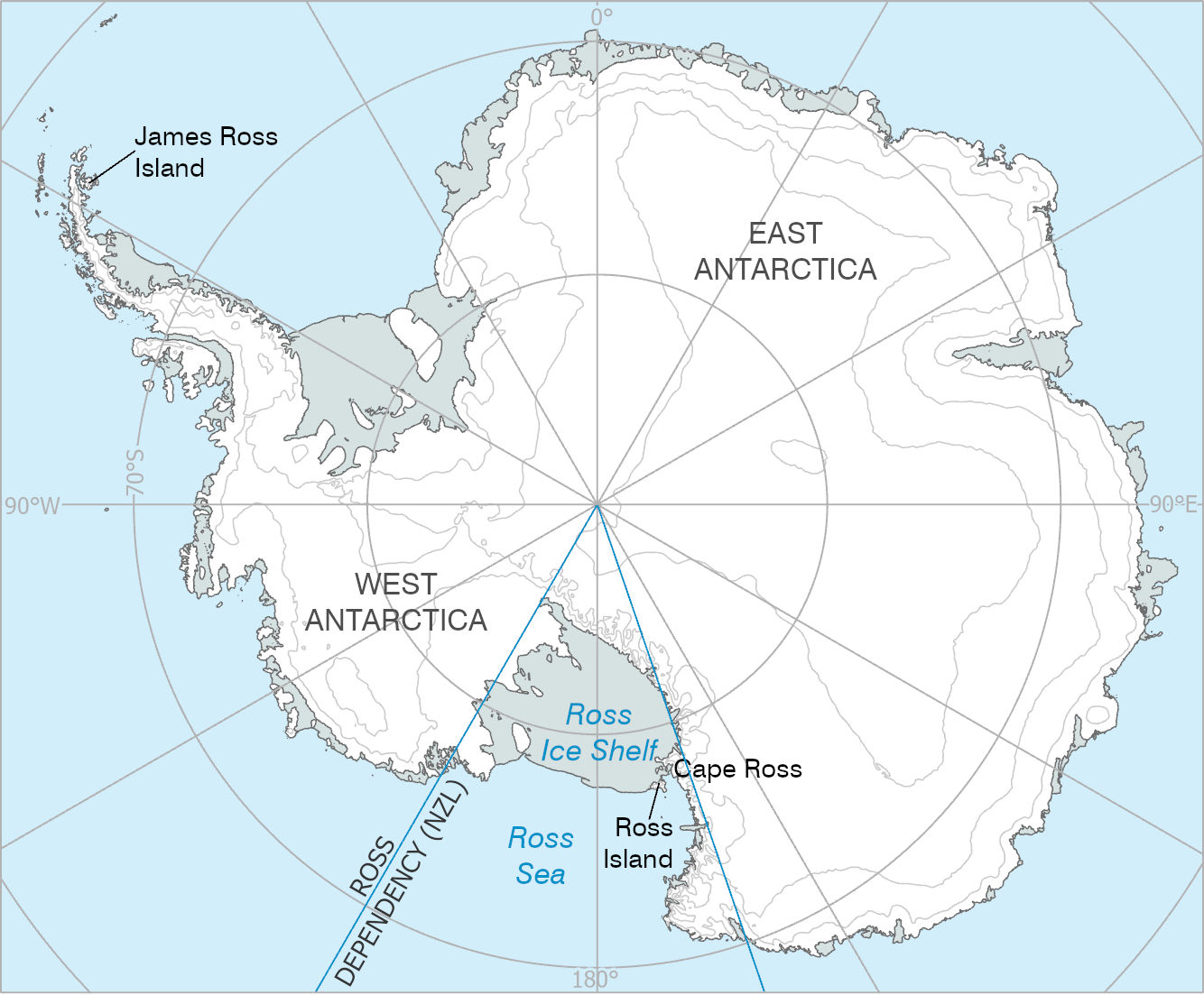
- Country:
- None (New Zealand claim)
- Description:
- ~2,460 km², volcanic.
- Formation:
- Volcanic activity, Mt. Erebus.
- Berkner Island
-
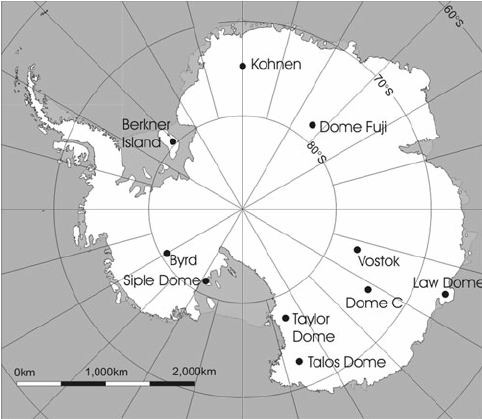
- Country:
- None (Argentina, UK claim)
- Description:
- ~15,500 km², subglacial.
- Formation:
- Ice-covered tectonic uplift.
- Roosevelt Island
-
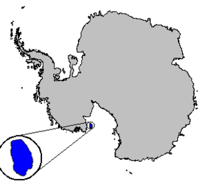
- Country:
- None (New Zealand claim)
- Description:
- ~7,500 km², ice dome.
- Formation:
- Glacial accumulation, tectonic.
- Deception Island
-
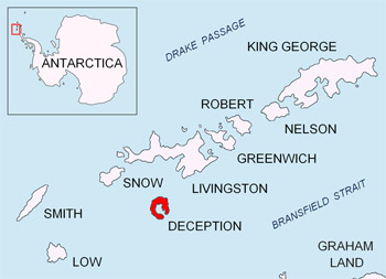
- Country:
- None (Argentina, UK claim)
- Description:
- ~98 km², volcanic caldera.
- Formation:
- Submarine volcanic eruption.
- National Parks/Protected Areas
- No traditional national parks due to Antarctic Treaty; protected areas exist.
- Antarctic Specially Protected Areas (ASPAs):
-
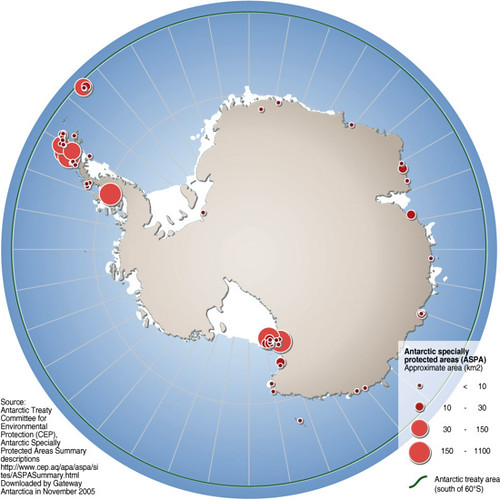
- Description:
- ~70 sites, e.g., McMurdo Dry Valleys.
- Significance:
- Preserves ecosystems, research.
- Ross Sea Marine Protected Area:
-
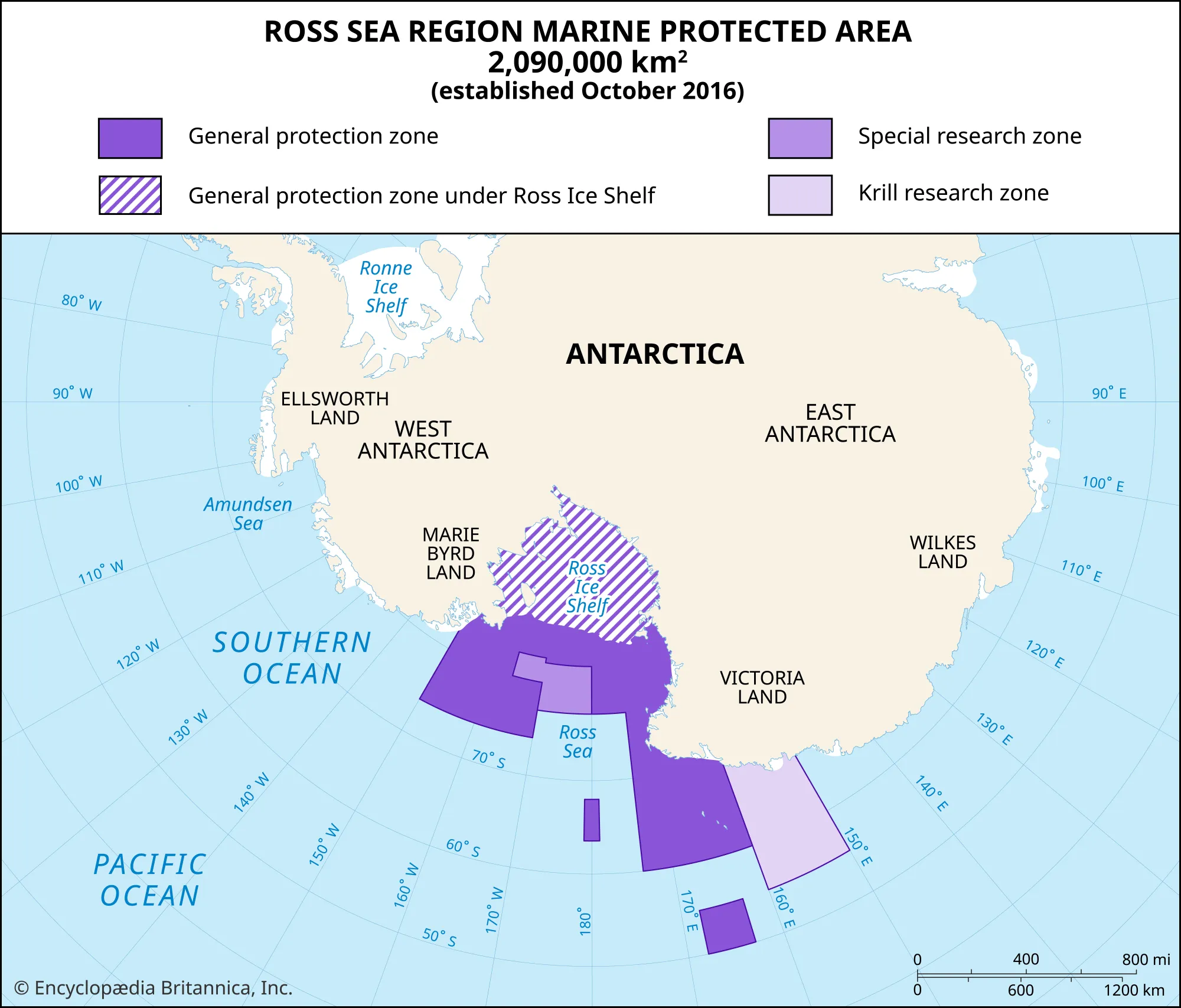
- Description:
- ~1.55 million km², marine reserve.
- Significance:
- Protects penguins, whales.
- South Orkney Islands Protected Area:
-
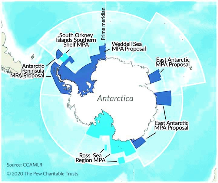
- Description:
- ~94,000 km², marine ecosystem.
- Significance:
- Seabird colonies, conservation.
- Biodiversity Hotspots
- No globally recognized hotspots due to low biodiversity; unique ecosystems exist.
- Antarctic Peninsula (Antarctica):
-
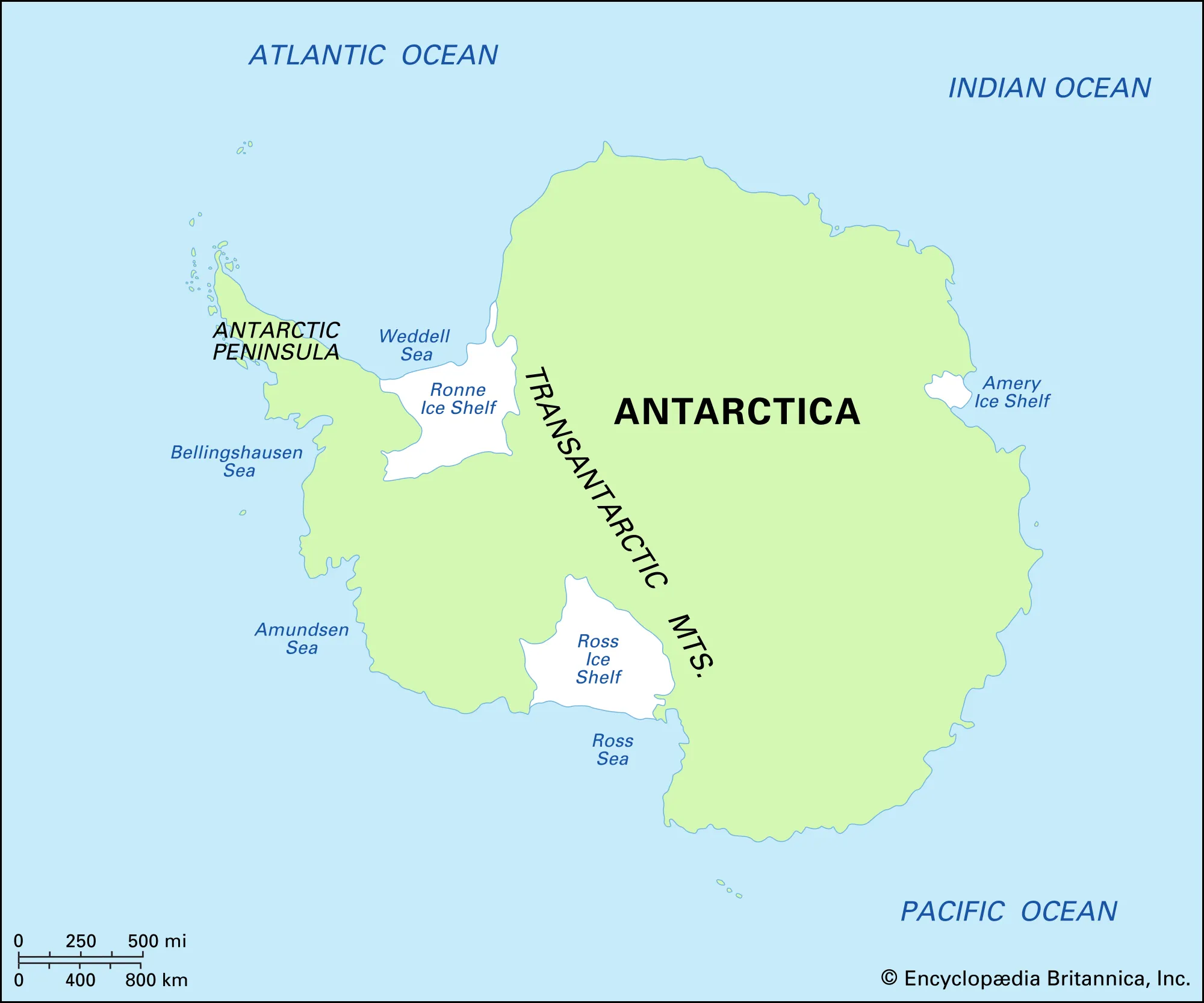
- Description:
- ~500,000 km², coastal ecosystems.
- Significance:
- Penguins, seals, warming threat.
- Ross Sea (Antarctica):
-
- Description:
- ~960,000 km², marine biodiversity.
- Significance:
- Krill, food web base.
- Human Impact
- Ice Melt (West Antarctica):
- Global warming accelerates ice shelf collapse, raising sea levels.
- Research Station Pollution:
- Waste and fuel spills harm local ecosystems.
- Overfishing (Ross Sea):
- Historical fishing depleted marine species, now regulated.
- Tourism Impact:
- Increased visitors disturb wildlife, fragile landscapes.
- Oceania
-
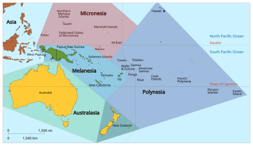
- Overview
- Oceania, a geographical region, spans ~8.5 million km² across the Pacific Ocean, with a population of ~43 million (2023).
- It includes Australia, New Zealand, and Pacific islands, featuring coral reefs, volcanic islands, and tropical rainforests, shaped by tectonic activity and oceanic climates.
- Countries (14 recognized sovereign states)
- Australia
- Capital: Canberra
- Fiji
- Capital: Suva
- Kiribati
- Capital: Tarawa
- Marshall Islands
- Capital: Majuro
- Micronesia
- Capital: Palikir
- Nauru
- Capital: Yaren
- New Zealand
- Capital: Wellington
- Palau
- Capital: Ngerulmud
- Papua New Guinea
- Capital: Port Moresby
- Samoa
- Capital: Apia
- Solomon Islands
- Capital: Honiara
- Tonga
- Capital: Nuku’alofa
- Tuvalu
- Capital: Funafuti
- Vanuatu
- Capital: Port Vila
- Physiographic Divisions
- Oceania’s landscape is divided into four regions:
1. Australian Continental Platform:
-
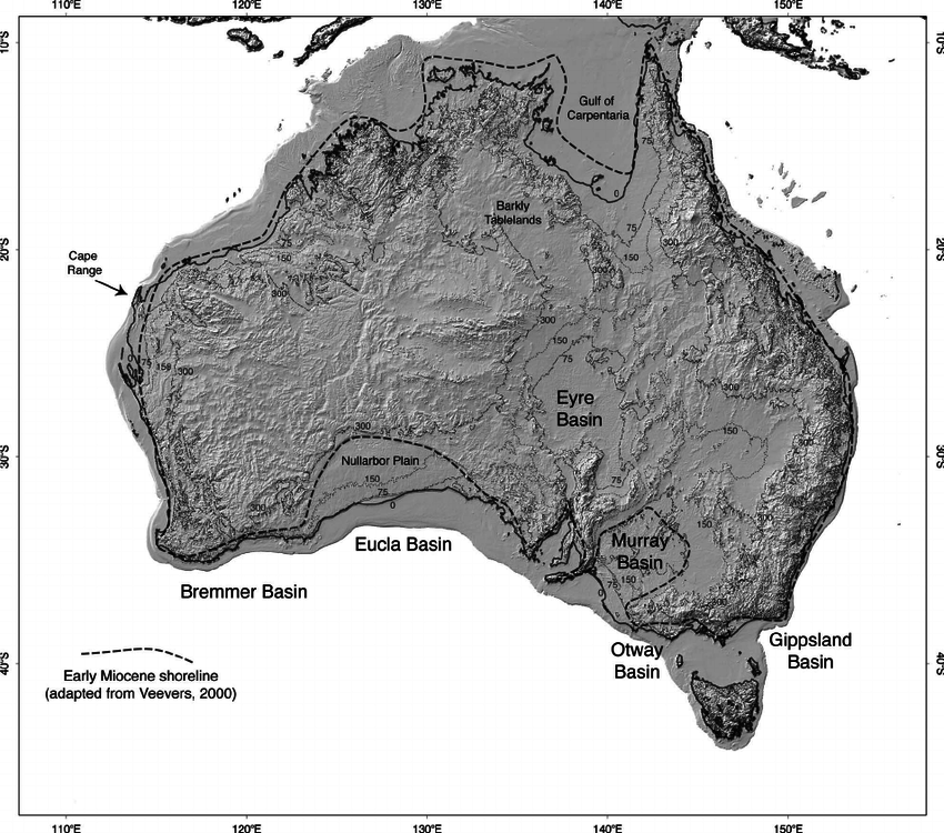
- Description:
- Ancient landmass with deserts and highlands.
- Location:
- Australia.
- Climate:
- Arid to temperate.
- Features:
- Outback, Great Dividing Range.
- Countries:
- Australia.
2. New Zealand Archipelago:
-
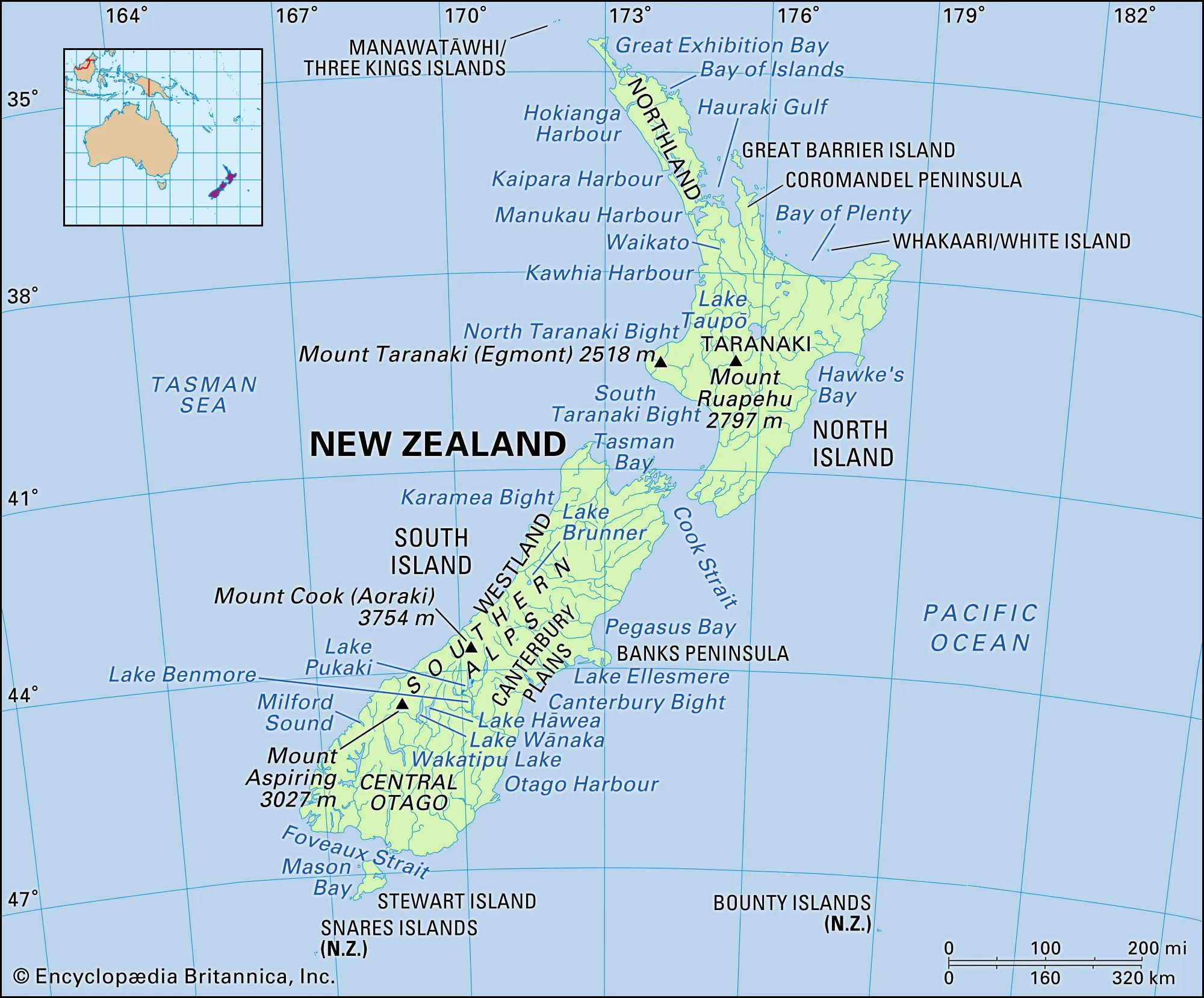
- Description:
- Volcanic and tectonic islands.
- Climate:
- Temperate, oceanic.
- Features:
- Alps, fjords, forests.
- Countries:
- New Zealand.
3. Melanesian Islands:
-
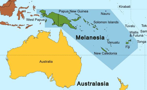
- Description:
- Volcanic islands with rainforests.
- Location:
- Papua New Guinea, Solomon Islands, Vanuatu.
- Climate:
- Tropical, humid.
- Features:
- Coral reefs, highlands.
- Countries:
- Papua New Guinea, Solomon Islands, Vanuatu, Fiji.
4. Polynesian and Micronesian Islands:
-
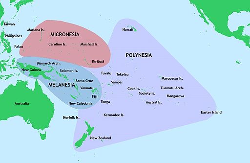
- Description:
- Coral atolls and volcanic islands.
- Climate:
- Tropical, monsoon-influenced.
- Features:
- Lagoons, low-lying islands.
- Countries:
- Kiribati, Marshall Islands, Samoa, Tonga, Tuvalu.
- Formation:
- Tectonic activity along the Pacific Ring of Fire formed volcanic islands; coral growth created atolls; ancient cratons shaped Australia’s stable interior.
- Major Physical Features
- Mountain Ranges
- Great Dividing Range (Australia):
-
- Description:
- ~3,500 km, peaks at 2,228 m (Kosciuszko).
- Formation:
- Tectonic uplift, erosion, 300 million years ago.
- Significance:
- Rainfall divide, agriculture.
- Southern Alps (New Zealand):
-
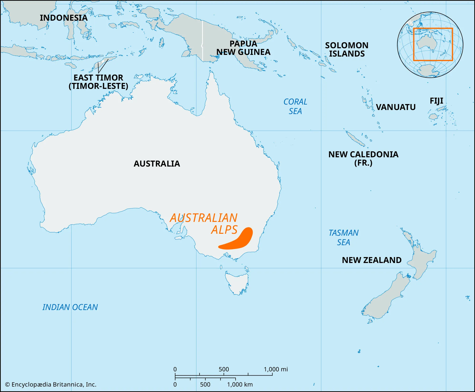
- Description:
- ~500 km, peaks at 3,724 m (Aoraki/Mt. Cook).
- Formation:
- Pacific-Australian plate collision.
- Significance:
- Glaciers, tourism.
- New Guinea Highlands (Papua New Guinea):
-
- Description:
- ~2,400 km, peaks at 4,884 m (Wilhelm).
- Formation:
- Australian-Pacific plate collision.
- Significance:
- Biodiversity, tribal cultures.
- Plateaus
- Western Australian Plateau (Australia):
-
- Description:
- ~4-5 million km², ~500 m elevation.
- Formation:
- Ancient craton, minimal erosion.
- Significance:
- Mining, sparse population.
- Central Plateau (New Zealand):
-
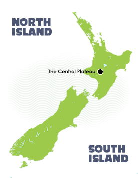
- Description:
- ~10,000 km², volcanic, ~1,000 m.
- Formation:
- Volcanic activity, tectonic uplift.
- Significance:
- Geothermal energy, lakes.
- Arnhem Land Plateau (Australia):
-
- Description:
- ~100,000 km², rugged sandstone.
- Formation:
- Erosion of ancient rocks.
- Significance:
- Indigenous lands, uranium.
- Plains
- Canterbury Plains (New Zealand):
-
- Description:
- ~7,000 km², fertile floodplain.
- Formation:
- Alluvial deposition by rivers.
- Significance:
- Dairy farming, agriculture.
- Murray-Darling Basin (Australia):
-
- Description:
- ~1 million km², fertile floodplain.
- Formation:
- Alluvial deposition, river systems.
- Significance:
- Agriculture, irrigation.
- Carpentaria Lowlands (Australia):
-
- Description:
- ~500,000 km², tropical savanna.
- Formation:
- Sedimentary deposition, coastal.
- Significance:
- Cattle grazing, wetlands.
- Deserts
- Great Victoria Desert (Australia):
-
- Description:
- ~348,750 km², arid dune fields.
- Formation:
- Continental aridity, rain shadow.
- Significance:
- Indigenous lands, mineral deposits.
- Simpson Desert (Australia):
-
- Description:
- ~176,500 km², red sand dunes.
- Formation:
- Arid climate, wind erosion.
- Significance:
- Unique flora, tourism.
- Tanami Desert (Australia):
-
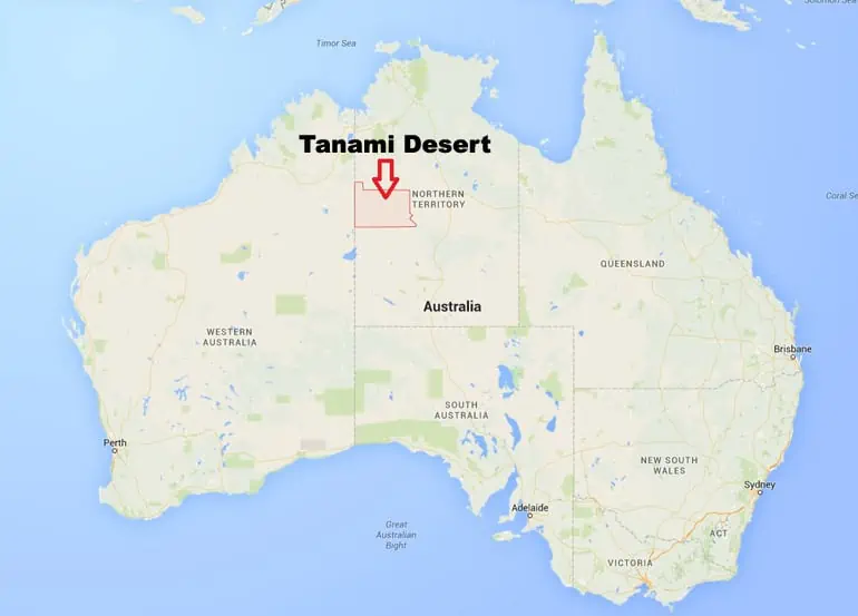
- Description:
- ~184,000 km², semi-arid.
- Formation:
- Subtropical high pressure, continentality, rain shadow.
- Significance:
- Gold mining, Aboriginal heritage.
- Forests
- Daintree Rainforest (Australia):
-
- Description:
- ~1,200 km², tropical rainforest.
- Formation:
- High rainfall, coastal climate.
- Significance:
- One of the oldest surviving tropical rainforests.
- Fiordland Temperate Forest (New Zealand):
-
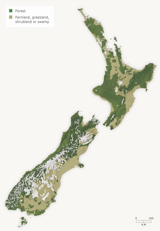
- Description:
- ~12,500 km², cool temperate.
- Formation:
- Oceanic moisture, glacial soils.
- Significance:
- Fjords, UNESCO site.
- New Guinea Rainforest (Papua New Guinea):
-
- Description:
- ~280,000 km², tropical.
- Formation:
- Equatorial rainfall, tectonic uplift.
- Significance:
- Endemic species, tribal lands.
- Major Water Bodies
- Rivers
- Murray River (Australia):
-
- Description:
- ~2,508 km, major waterway.
- Formation:
- Great Dividing Range runoff, alluvial.
- Significance:
- Irrigation, viticulture.
- Fly River (Papua New Guinea):
-
- Description:
- ~1,050 km, tropical flow.
- Formation:
- Highland runoff, tectonic valleys.
- Significance:
- Mining runoff, fisheries.
- Waikato River (New Zealand):
-
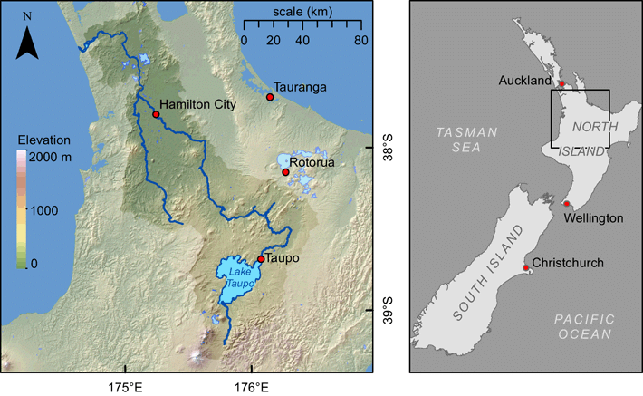
- Description:
- ~425 km, North Island’s longest.
- Formation:
- Volcanic plateau drainage.
- Significance:
- Hydropower, Maori culture.
- Lakes
- Lake Eyre (Australia):
-
- Description:
- ~9,500 km² (when full), salt lake.
- Formation:
- Endorheic basin, structural + fluvial, evaporation in arid interior.
- Significance:
- Rare flooding, birdlife.
- Lake Taupo (New Zealand):
-
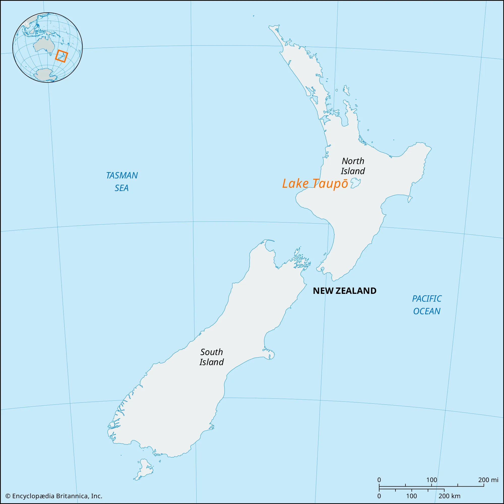
- Description:
- ~616 km², volcanic caldera.
- Formation:
- Volcanic eruption, 26,000 years ago.
- Significance:
- Trout fishing, geothermal.
- Lake Argyle (Australia):
-
- Description:
- ~1,000 km², man-made.
- Formation:
- Formed by damming of Ord River (human-made).
- Significance:
- Irrigation, hydropower.
- Basins
- Murray-Darling Basin (Australia):
-
- Description:
- ~1.06 million km², fertile.
- Formation:
- Alluvial deposition.
- Significance:
- Agriculture, water disputes.
- Great Artesian Basin (Australia):
-
- Description:
- ~1.7 million km², underground aquifer.
- Formation:
- Sedimentary layers, hydrogeological.
- Significance:
- Pastoral water supply.
- Sepik River Basin (Papua New Guinea):
-
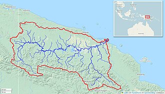
- Description:
- ~80,000 km², tropical.
- Formation:
- Fluvial + sedimentary, lowland floodplain.
- Significance:
- Biodiversity, tribal lands.
- Gulfs
- Gulf of Carpentaria (Australia):
-
- Description:
- ~300,000 km², shallow sea.
- Formation:
- Continental shelf indentation.
- Significance:
- Fisheries, cyclone risk.
- Hauraki Gulf (New Zealand):
-
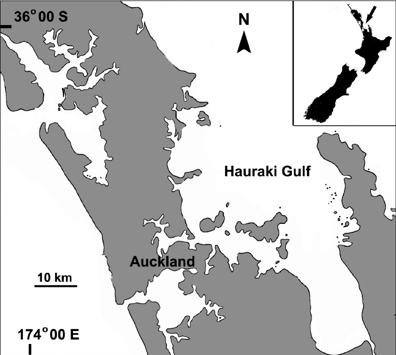
- Description:
- ~4,000 km², coastal.
- Formation:
- Drowned river valleys and coastal subsidence.
- Significance:
- Marine reserve, Auckland port.
- Bismarck Sea (Papua New Guinea):
-
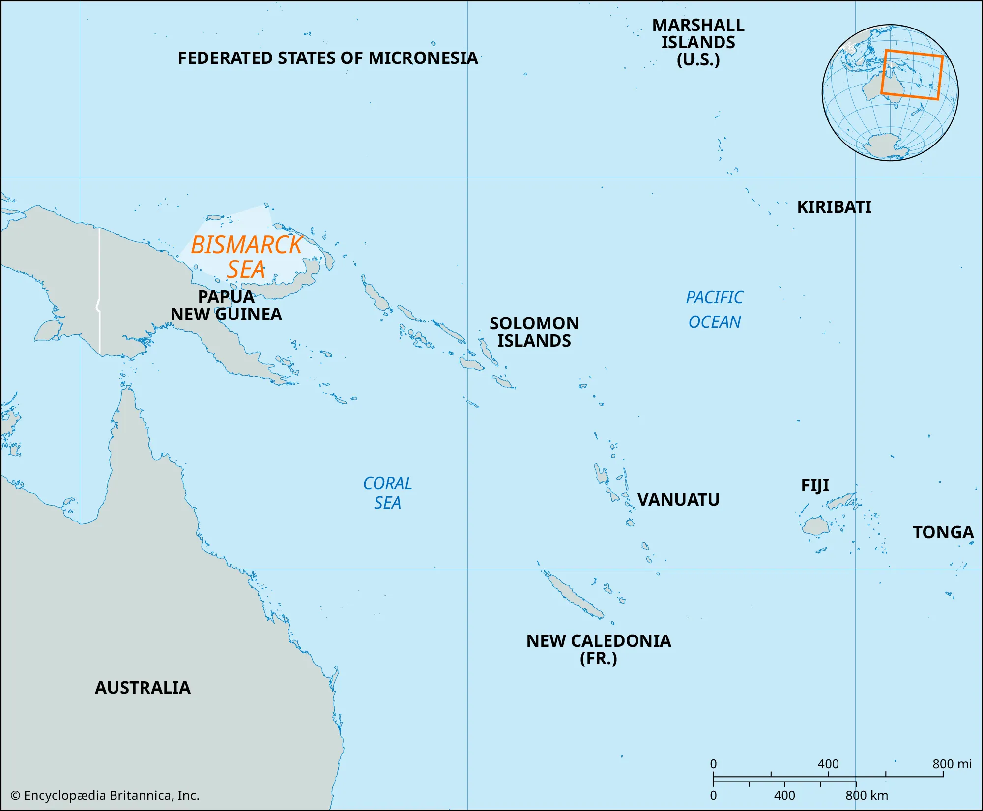
- Description:
- ~40,000 km², tropical sea.
- Formation:
- Tectonic basin, volcanic activity.
- Significance:
- Coral reefs, fisheries.
- Islands
- New Guinea
-
- Country:
- Papua New Guinea, Indonesia
- Description:
- ~785,753 km², second-largest island.
- Formation:
- Tectonic uplift, volcanic.
- Tasmania
-
- Country:
- Australia
- Description:
- ~68,401 km², temperate island.
- Formation:
- Tectonic separation from Gondwana.
- Viti Levu
-
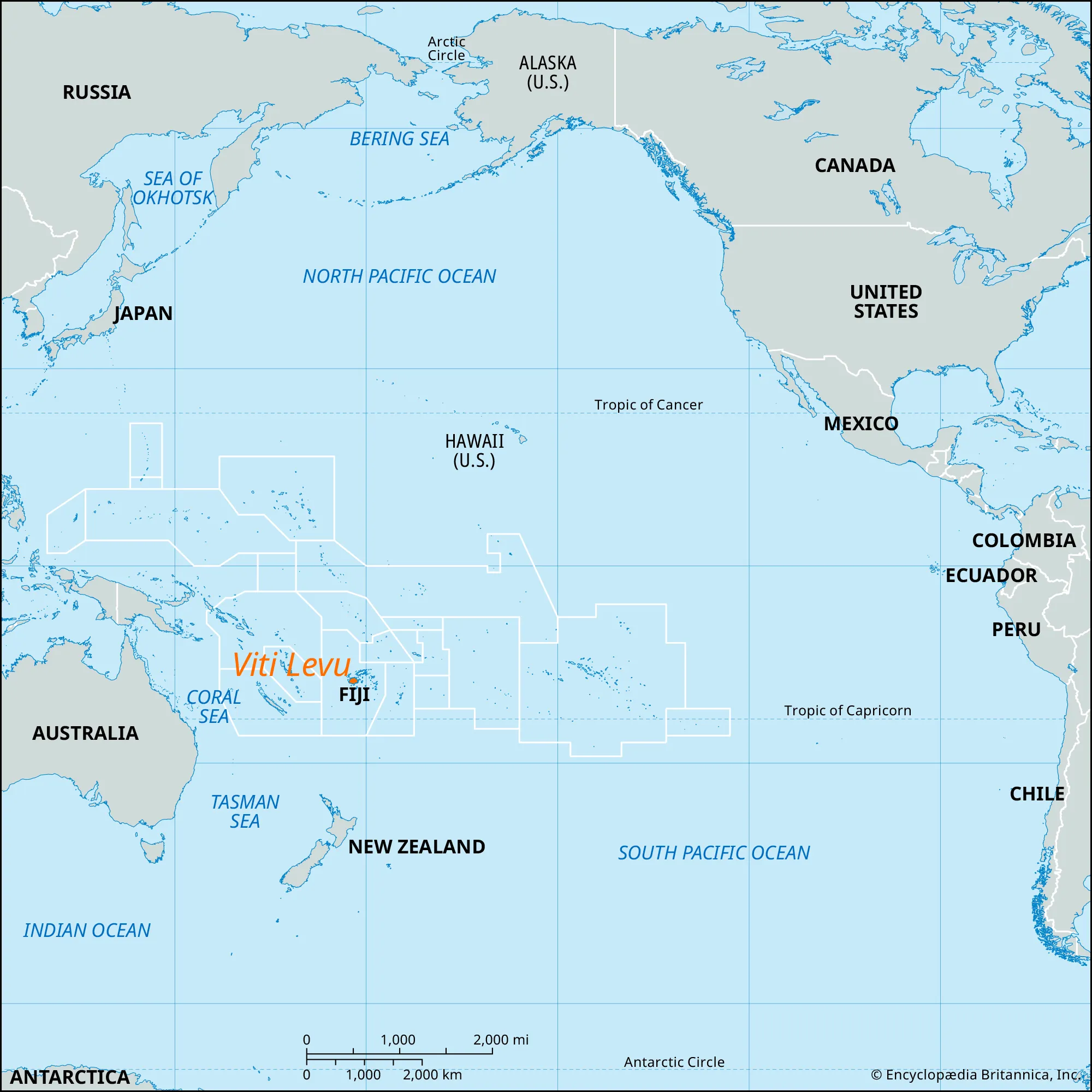
- Country:
- Fiji
- Description:
- ~10,389 km², volcanic.
- Formation:
- Volcanic activity, tectonic uplift.
- South Island
-
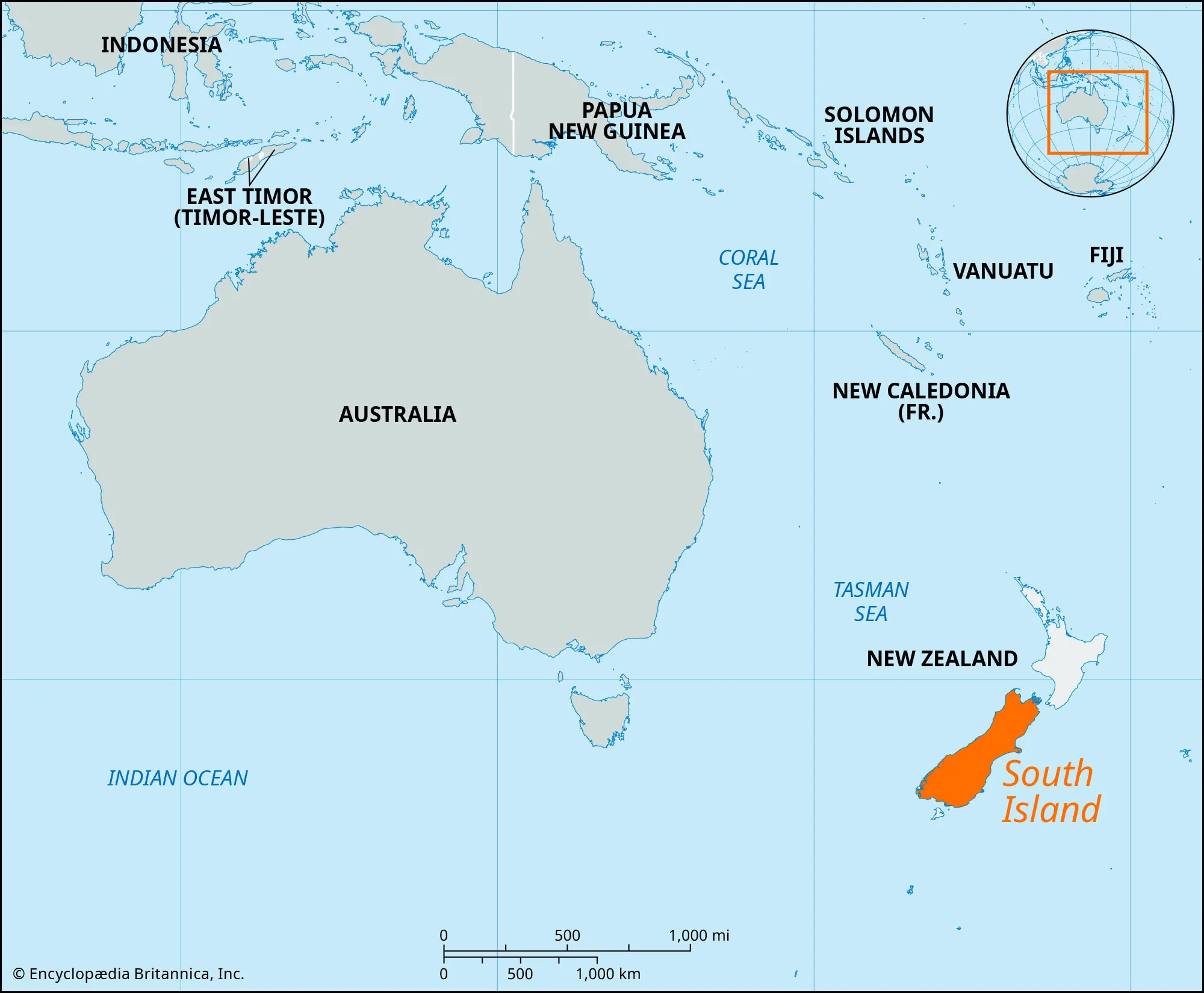
- Country:
- New Zealand
- Description:
- ~150,437 km², alpine terrain.
- Formation:
- Tectonic collision, glacial erosion.
- Vanua Levu
-
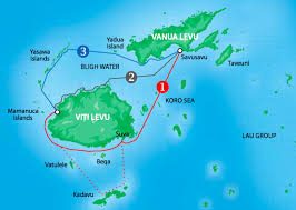
- Country:
- Fiji
- Description:
- ~5,587 km², tropical.
- Formation:
- Volcanic activity, coral growth.
- National Parks/Protected Areas
- Great Barrier Reef Marine Park (Australia):
-
- Description:
- ~344,400 km², coral reef system.
- Significance:
- UNESCO site, marine biodiversity.
- Fiordland National Park (New Zealand):
-
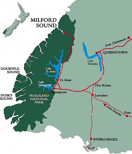
- Description:
- ~12,607 km², fjords and forests.
- Significance:
- UNESCO site, tourism.
- Lorentz National Park (Papua New Guinea, Indonesia):
-
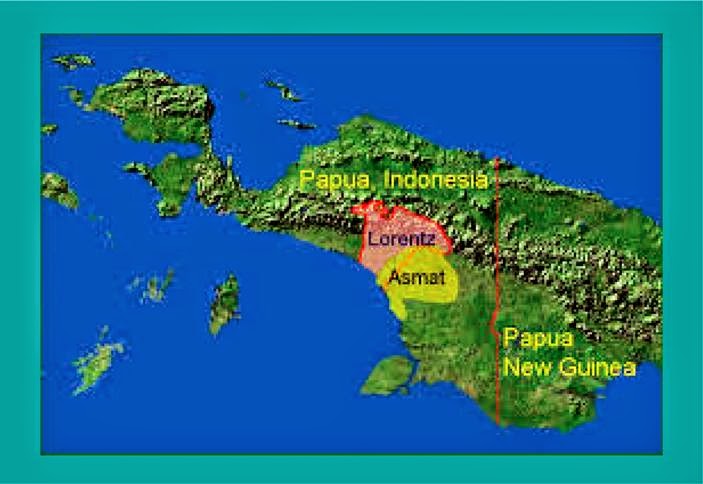
- Description:
- ~25,056 km², diverse ecosystems.
- Significance:
- UNESCO site, tribal heritage.
- Biodiversity Hotspots
- New Guinea (Papua New Guinea):
-
- Description:
- ~785,000 km², tropical ecosystems.
- Significance:
- Endemic birds, deforestation risk.
- Polynesia-Micronesia (Fiji, Samoa):
-
- Description:
- ~47,000 km², island ecosystems.
- Significance:
- Coral reefs, sea-level rise threat.
- Southwest Australia (Australia):
-
- Description:
- ~356,000 km², unique flora.
- Significance:
- Endemic wildflowers, urban threat.
- Human Impact
- Great Barrier Reef Bleaching:
- Climate change and pollution harm coral ecosystems.
- Deforestation (New Guinea):
- Logging for palm oil threatens rainforests.
- Sea-Level Rise (Polynesia):
- Climate change threatens low-lying atolls like Tuvalu.
- Invasive Species (New Zealand):
- Introduced species harm native ecosystems.
- Caribbean
-
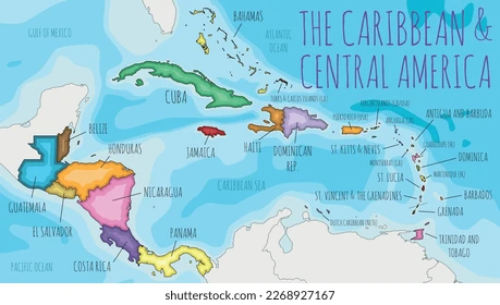
- Overview
- The Caribbean, a sub-region of North America, spans ~239,681 km² across the Caribbean Sea, with a population of ~44 million (2023).
- It features tropical islands, coral reefs, and volcanic peaks, shaped by tectonic activity, hurricanes, and maritime climates.
- Countries (13 recognized sovereign states)
- Antigua and Barbuda
- Capital: St. John’s
- Bahamas
- Capital: Nassau
- Barbados
- Capital: Bridgetown
- Cuba
- Capital: Havana
- Dominica
- Capital: Roseau
- Dominican Republic
- Capital: Santo Domingo
- Grenada
- Capital: St. George’s
- Haiti
- Capital: Port-au-Prince
- Jamaica
- Capital: Kingston
- Saint Kitts and Nevis
- Capital: Basseterre
- Saint Lucia
- Capital: Castries
- Saint Vincent and the Grenadines
- Capital: Kingstown
- Trinidad and Tobago
- Capital: Port of Spain
- Physiographic Divisions
- The Caribbean’s landscape is divided into three regions:
1. Greater Antilles:
-
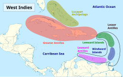
-
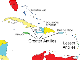
- Description:
- Larger islands with rugged terrain.
- Location:
- Northern Caribbean.
- Climate:
- Tropical, hurricane-prone.
- Features:
- Mountains, rainforests.
- Countries:
- Cuba, Jamaica, Haiti, Dominican Republic.
2. Lesser Antilles:
-
-
- Description:
- Smaller volcanic and coral islands.
- Climate:
- Tropical, trade winds.
- Features:
- Coral reefs, active volcanoes.
- Countries:
- Barbados, Grenada, Saint Lucia, Antigua and Barbuda.
3. Bahamas Archipelago:
-
-
- Description:
- Low-lying coral islands and cays.
- Location:
- Northwestern Caribbean.
- Climate:
- Subtropical, humid.
- Features:
- Shallow banks, coral reefs.
- Countries:
- Bahamas.
- Formation:
- Tectonic interactions along the Caribbean Plate formed volcanic islands; coral growth built atolls; hurricanes shaped coastal features.
- Major Physical Features
- Mountain Ranges
- Sierra Maestra (Cuba):
-
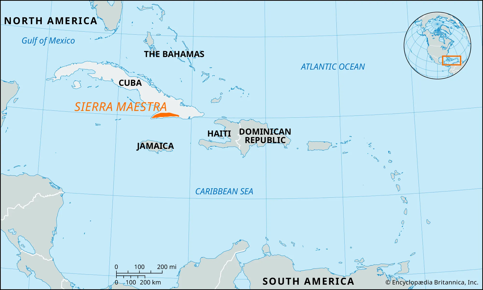
- Description:
- ~240 km, peaks at 1,974 m (Pico Turquino).
- Formation:
- Tectonic uplift, plate collision.
- Significance:
- Revolutionary hideouts, biodiversity.
- Blue Mountains (Jamaica):
-
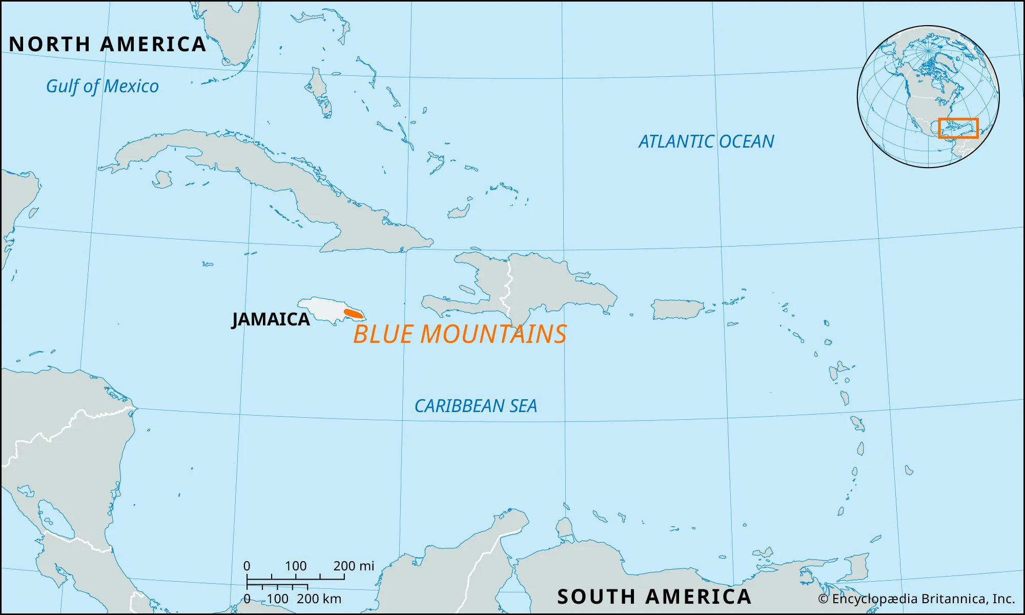
- Description:
- ~80 km, peaks at 2,256 m (Blue Mountain Peak).
- Formation:
- Tectonic folding, erosion.
- Significance:
- Coffee plantations, tourism.
- Cordillera Central (Dominican Republic):
-
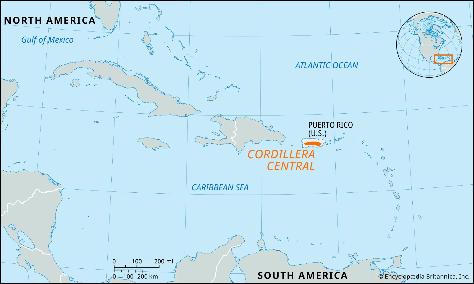
- Description:
- ~200 km, peaks at 3,098 m (Pico Duarte).
- Formation:
- Caribbean-North American plate collision.
- Significance:
- Highest Caribbean peak, agriculture.
- Plateaus
- Central Plateau (Haiti):
-
- Description:
- ~5,000 km², ~1,000 m elevation.
- Formation:
- Tectonic uplift, erosion.
- Significance:
- Agriculture, rural settlements.
- Cayman Ridge (Cayman Islands):
-
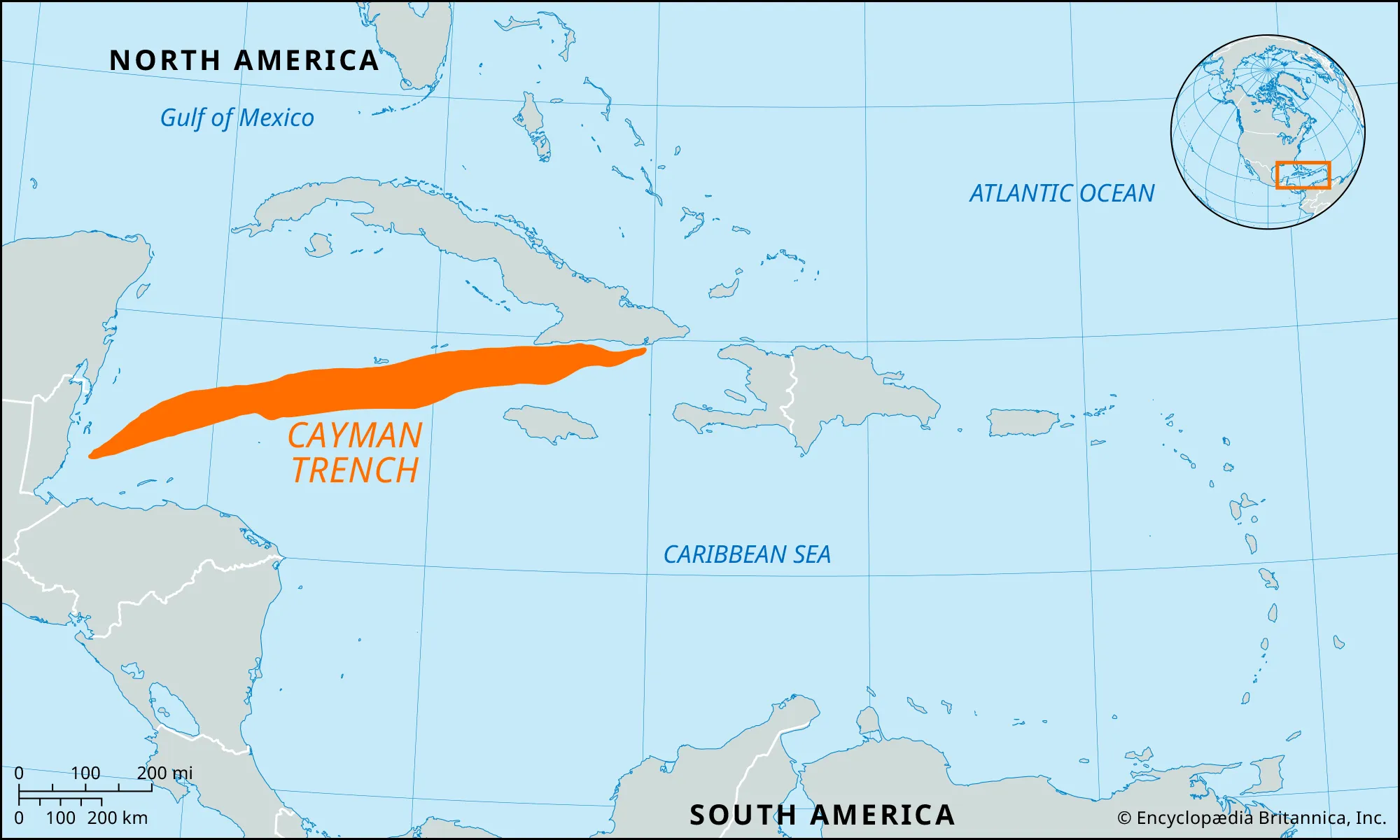
- Description:
- A submarine ridge system, extends hundreds of km, not a small plateau
- It’s not a plateau in surface geography. It should not be places here, but right now we are out of time and it's significance is very low.
- Formation:
- Tectonic uplift, coral growth.
- Significance:
- Marine biodiversity, diving.
- Liguanea Plain (Jamaica):
-
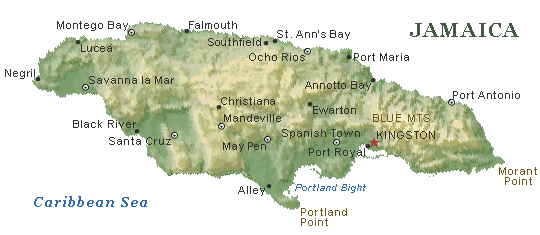
- Description:
- ~500 km², alluvial plain + coastal lowland.
- Formation:
- Alluvial deposition, tectonic stability.
- Significance:
- Urban hub (Kingston), farming.
- Plains
- Cibao Valley (Dominican Republic):
-
- Description:
- ~3,000 km², fertile floodplain.
- Formation:
- Alluvial deposition by Yuna River.
- Significance:
- Tobacco, rice farming.
- St. George’s Plain (Grenada):
-
- Description:
- ~100 km², coastal plain.
- Formation:
- Volcanic ash deposition, erosion.
- Significance:
- Nutmeg production, urban center.
- Eleuthera Lowlands (Bahamas):
-
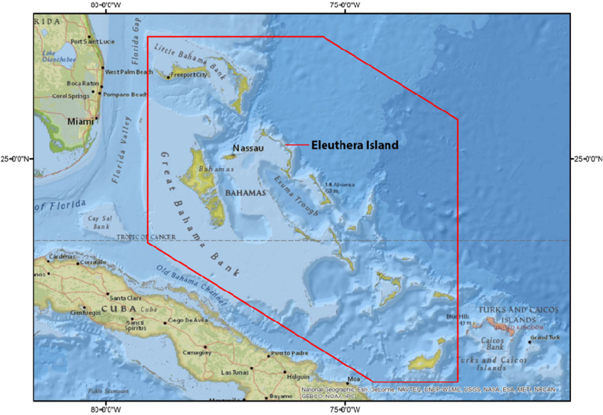
- Description:
- ~500 km², coral-based plain.
- Formation:
- Coral accumulation, sea-level changes.
- Significance:
- Tourism, fishing.
- Deserts
- No significant deserts due to tropical climate; semi-arid areas exist.
- Pedernales Arid Zone (Dominican Republic):
-
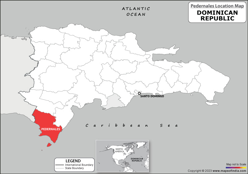
- Description:
- ~200 km², semi-arid scrubland.
- Formation:
- Rain shadow, coastal aridity.
- Significance:
- Cacti, salt production.
- Forests
- El Yunque Rainforest (Puerto Rico):
-
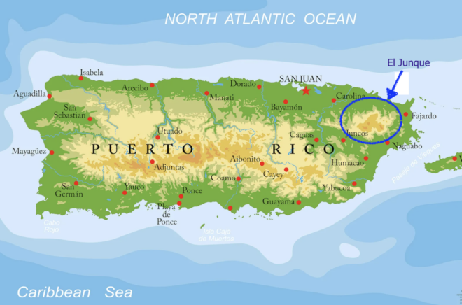
- Description:
- ~113 km², tropical rainforest.
- Formation:
- High rainfall, orographic lift.
- Significance:
- Endemic species, tourism.
- Cockpit Country (Jamaica):
-
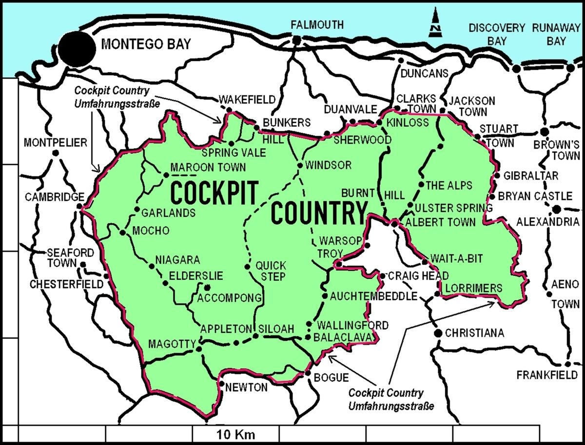
- Description:
- ~1,300 km², karst rainforest.
- Formation:
- Limestone erosion, tropical climate.
- Significance:
- Maroon heritage, biodiversity.
- Macaya Biosphere Reserve (Haiti):
-
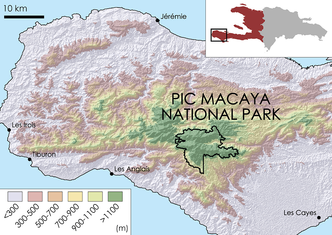
- Description:
- ~200 km², montane forest.
- Formation:
- High elevation, moist trade winds.
- Significance:
- Endemic orchids, conservation.
- Major Water Bodies
- Rivers
- Artibonite River (Haiti, Dominican Republic):
-
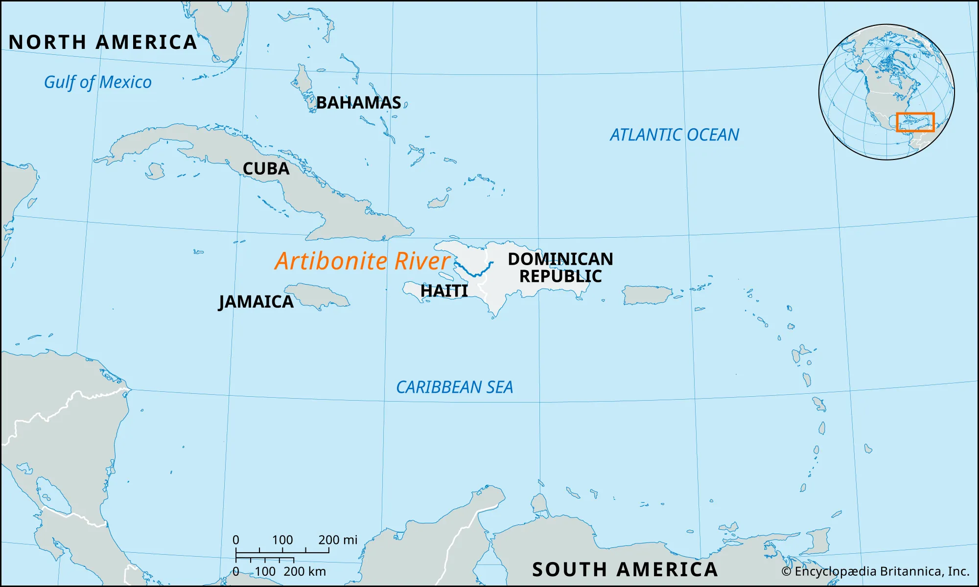
- Description:
- ~320 km, longest in Caribbean.
- Formation:
- Cordillera Central runoff, fluvial.
- Significance:
- Irrigation, hydropower.
- Cauto River (Cuba):
-
- Description:
- ~343 km, Cuba’s longest.
- Formation:
- Sierra Maestra drainage, alluvial.
- Significance:
- Agriculture, fishing.
- Yuna River (Dominican Republic):
-
- Description:
- ~185 km, fertile valley.
- Formation:
- Cordillera Central runoff.
- Significance:
- Rice farming, transport.
- Lakes
- Lake Enriquillo (Dominican Republic):
-
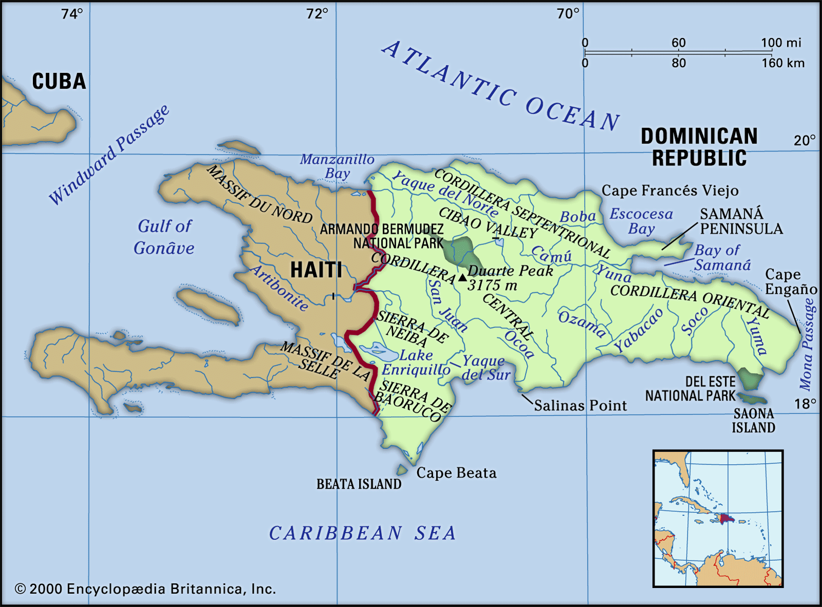
- Description:
- ~375 km², hypersaline lake.
- Formation:
- Fluvial + Evaporation.
- Significance:
- Crocodiles, ecotourism.
- Étang Saumâtre (Haiti):
-
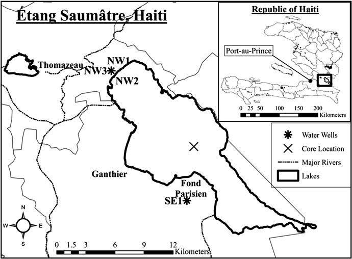
- Description:
- ~170 km², brackish lake.
- Formation:
- Fluvial + Evaporation.
- Significance:
- Flamingos, fishing.
- Miragoâne Lakes (Haiti):
-
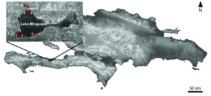
- Description:
- ~50 km², freshwater system.
- Formation:
- Fluvial, karst depression, rainfall.
- Significance:
- Local water supply, agriculture.
- Basins
- Artibonite Basin (Haiti, Dominican Republic):
-
- Description:
- ~9,000 km², fertile valley.
- Formation:
- Structural + alluvial.
- Significance:
- Rice production, irrigation.
- Enriquillo Basin (Dominican Republic):
-
- Description:
- ~6,000 km², arid lowland.
- Formation:
- Structural + alluvial.
- Significance:
- Salt lakes, biodiversity.
- Cauto Basin (Cuba):
-
- Description:
- ~5,000 km², agricultural.
- Formation:
- Structural + alluvial.
- Significance:
- Sugar cane, livestock.
- Gulfs
- Gulf of Gonâve (Haiti):
-
- Description:
- ~7,000 km², sheltered bay.
- Formation:
- Drowned coast + sedimentation
- Significance:
- Fisheries, port (Port-au-Prince).
- Batabanó Gulf (Cuba):
-
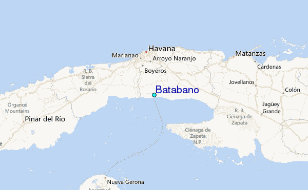
- Description:
- ~9,000 km², shallow gulf.
- Formation:
- Continental shelf indentation + drowned coast + sedimentation
- Significance:
- Sponge fishing, marine life.
- Gulf of Paria (Trinidad and Tobago):
-
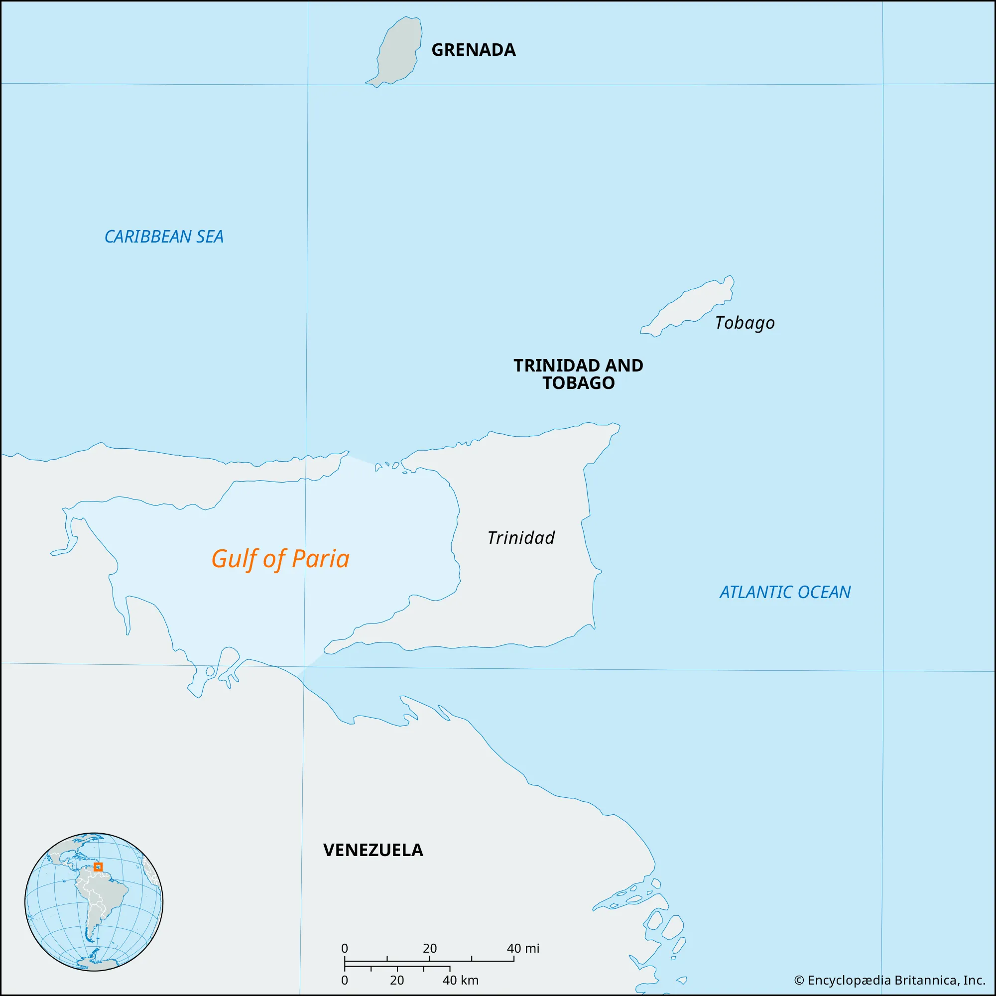
- Description:
- ~7,800 km², semi-enclosed.
- Formation:
- Drowned coast + sedimentation
- Significance:
- Oil fields, shipping.
- Islands
- Cuba
-
- Country:
- Cuba
- Description:
- ~109,884 km², largest Caribbean island.
- Formation:
- Tectonic uplift, limestone base.
- Hispaniola
-
- Country:
- Haiti, Dominican Republic
- Description:
- ~76,192 km², mountainous.
- Formation:
- Volcanic arc, tectonic collision.
- Jamaica
-
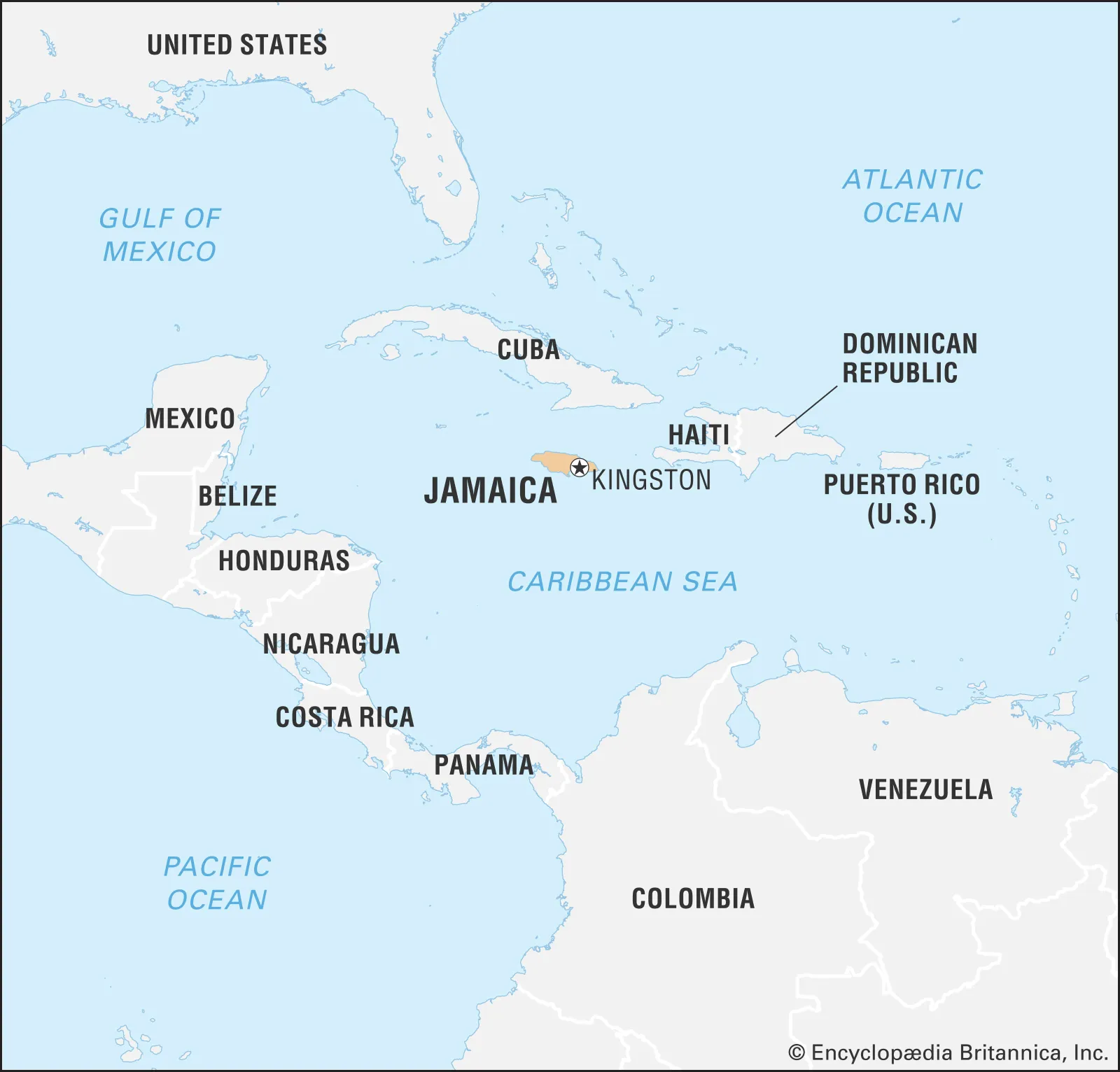
- Country:
- Jamaica
- Description:
- ~10,991 km², karst terrain.
- Formation:
- Tectonic uplift, coral growth.
- Barbados
-
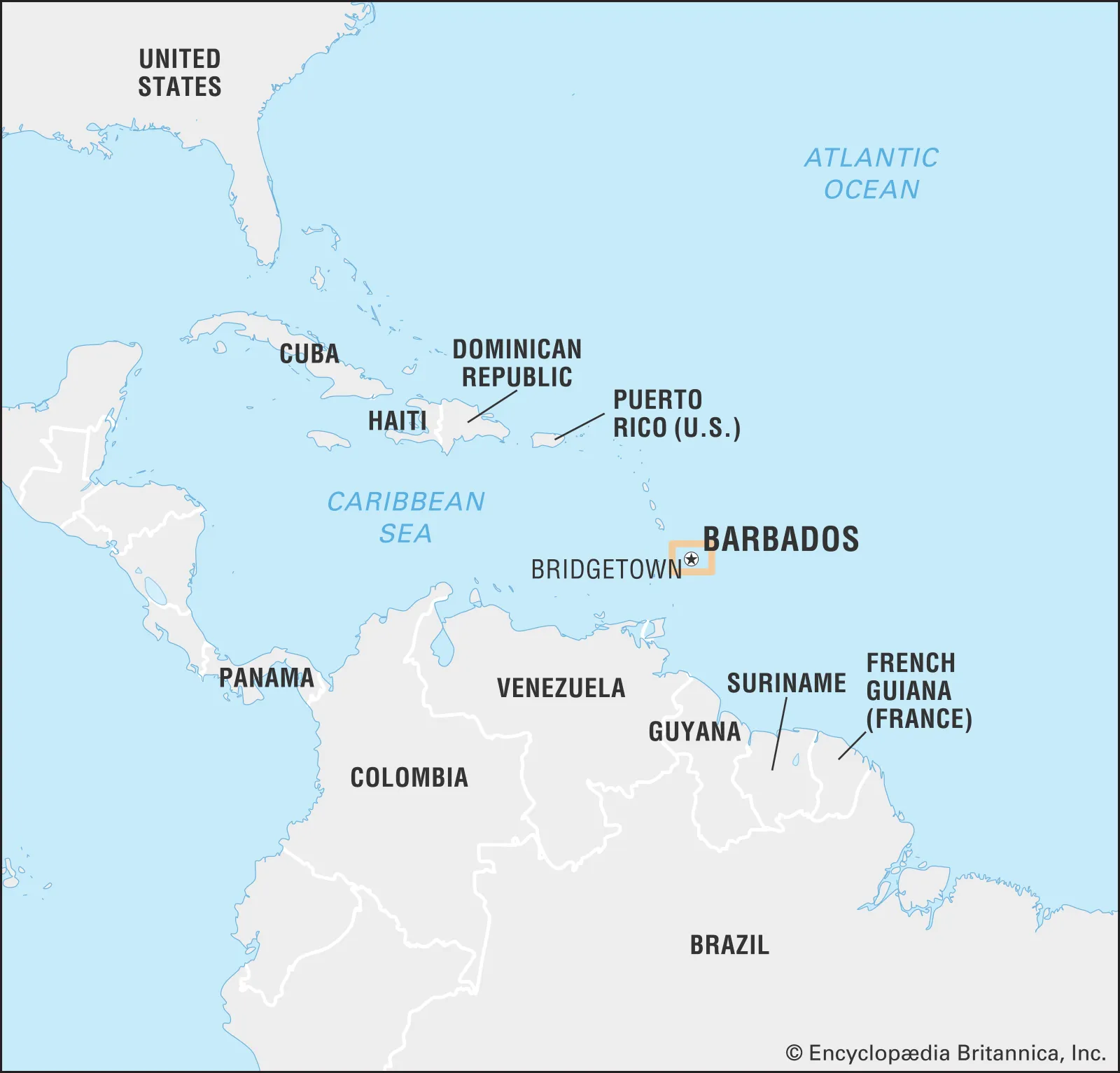
- Country:
- Barbados
- Description:
- ~432 km², coral island.
- Formation:
- Coral accumulation, tectonic uplift.
- Grand Cayman
-
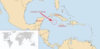
- Country:
- United Kingdom (Cayman Islands)
- Description:
- ~197 km², low-lying.
- Formation:
- Coral reef on volcanic base.
- National Parks/Protected Areas
- Morne Trois Pitons National Park (Dominica):
-
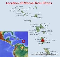
- Description:
- ~68 km², volcanic rainforest.
- Significance:
- UNESCO site, boiling lake.
- Alexander von Humboldt National Park (Cuba):
-
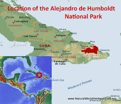
- Description:
- ~711 km², diverse ecosystems.
- Significance:
- Endemic species, conservation.
- Exuma Cays Land and Sea Park (Bahamas):
-
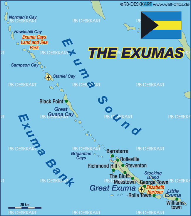
- Description:
- ~455 km², marine reserve.
- Significance:
- Coral reefs, ecotourism.
- Biodiversity Hotspots
- Caribbean Islands (Region-wide):
-
- Description:
- ~229,000 km², island ecosystems.
- Significance:
- Endemic species, tourism pressure.
- Cuban Moist Forests (Cuba):
-
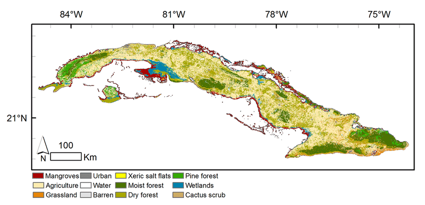
- Description:
- ~20,000 km², tropical forests.
- Significance:
- Unique birds, deforestation risk.
- Hispaniolan Pine Forests (Haiti, Dominican Republic):
-
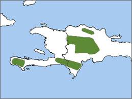
- Description:
- ~10,000 km², montane forests.
- Significance:
- Endemic pines, agricultural threat.
- Human Impact
- Coral Bleaching (Caribbean Sea):
- Climate change and pollution degrade reefs, impacting fisheries.
- Deforestation (Haiti):
- Logging and agriculture reduce forest cover, causing erosion.
- Hurricane Damage (Region-wide):
- Intensifying storms destroy infrastructure, ecosystems.
- Coastal Development (Barbados, Bahamas):
- Tourism expansion harms mangroves, beaches.
- Southeast Asia
-
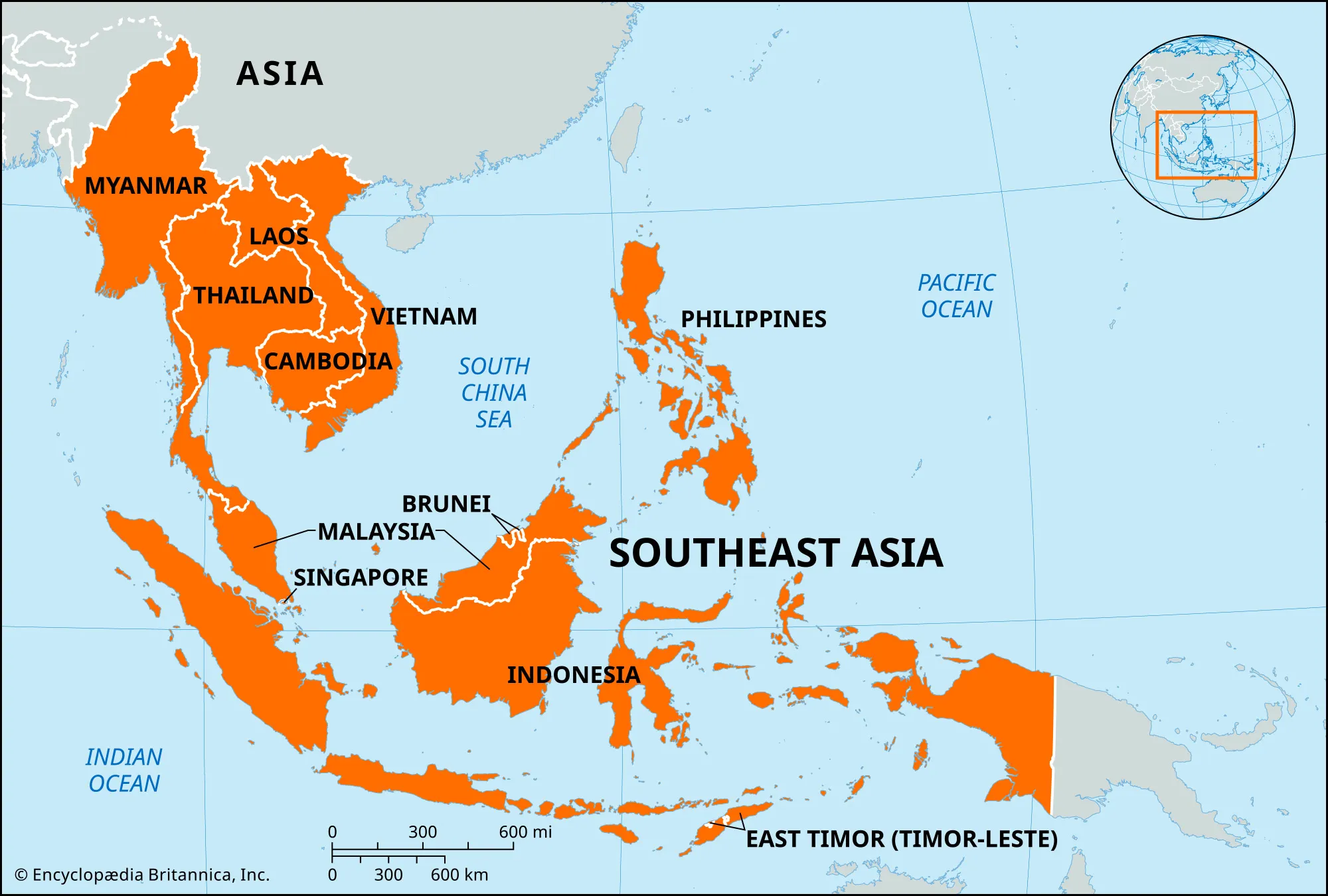
- Overview
- Southeast Asia, a sub-region of Asia, spans ~4.5 million km², with a population of ~680 million (2023).
- It features tropical rainforests, volcanic islands, and river deltas, shaped by tectonic activity, monsoons, and maritime trade routes.
- Countries (11 recognized sovereign states)
- Brunei
- Capital: Bandar Seri Begawan
- Cambodia
- Capital: Phnom Penh
- Indonesia
- Capital: Jakarta
- Laos
- Capital: Vientiane
- Malaysia
- Capital: Kuala Lumpur
- Myanmar
- Capital: Naypyidaw
- Philippines
- Capital: Manila
- Singapore
- Capital: Singapore
- Thailand
- Capital: Bangkok
- Timor-Leste
- Capital: Dili
- Vietnam
- Capital: Hanoi
- Physiographic Divisions
- Southeast Asia’s landscape is divided into four regions:
1. Mainland Southeast Asia:
-
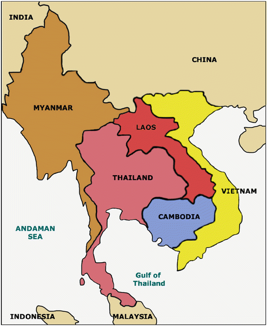
- Description:
- River valleys and low mountains.
- Location:
- Cambodia, Laos, Myanmar, Thailand, Vietnam.
- Climate:
- Tropical monsoon (Am in Köppen).
- Features:
- Mekong Delta, karst landscapes.
- Countries:
- Cambodia, Laos, Myanmar, Thailand, Vietnam.
2. Maritime Southeast Asia:
-
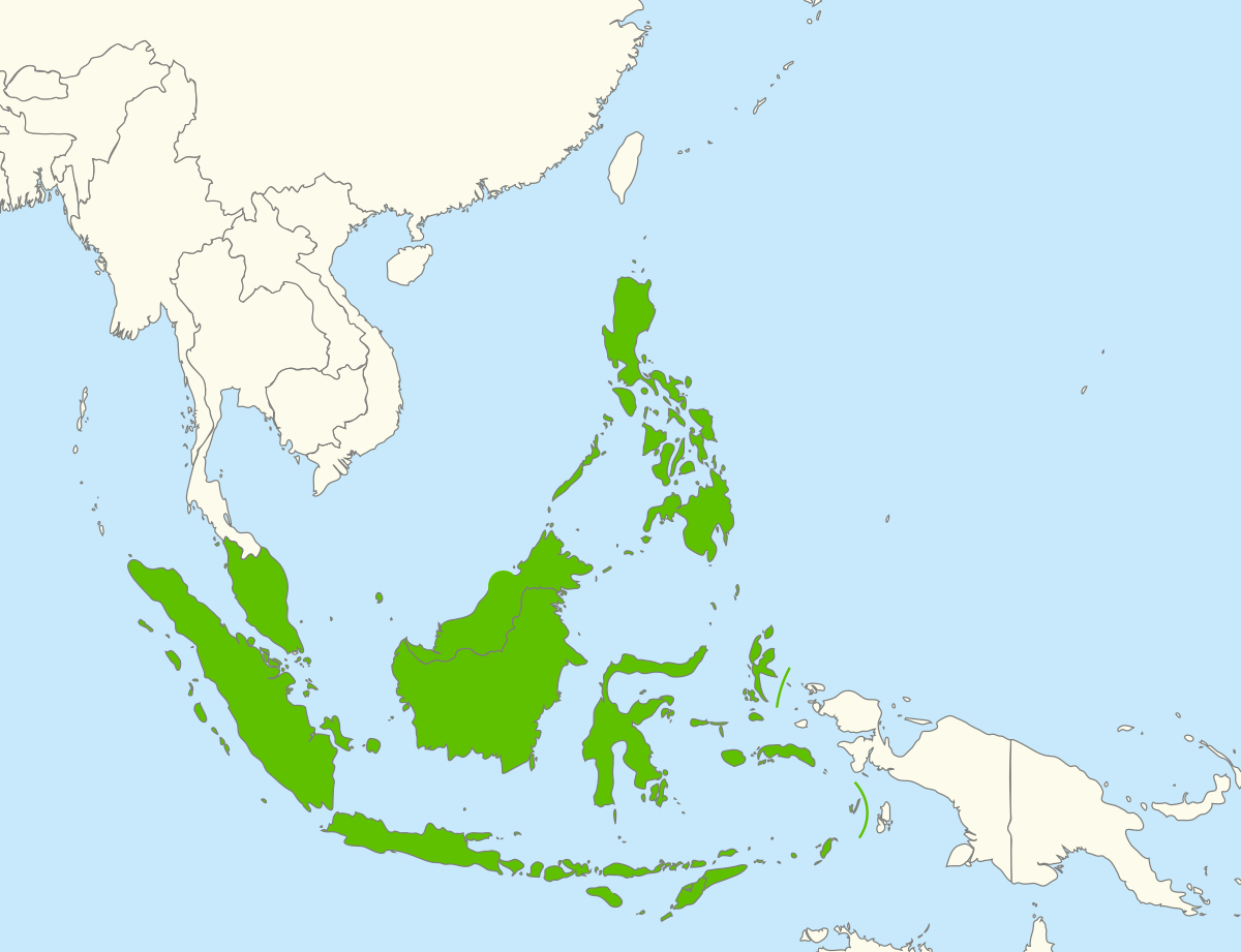
- Description:
- Volcanic and coral islands.
- Climate:
- Tropical, equatorial (Af).
- Features:
- Coral reefs, active volcanoes.
- Countries:
- Indonesia, Philippines, Malaysia, Brunei, Timor-Leste.
3. Sunda Shelf:
-
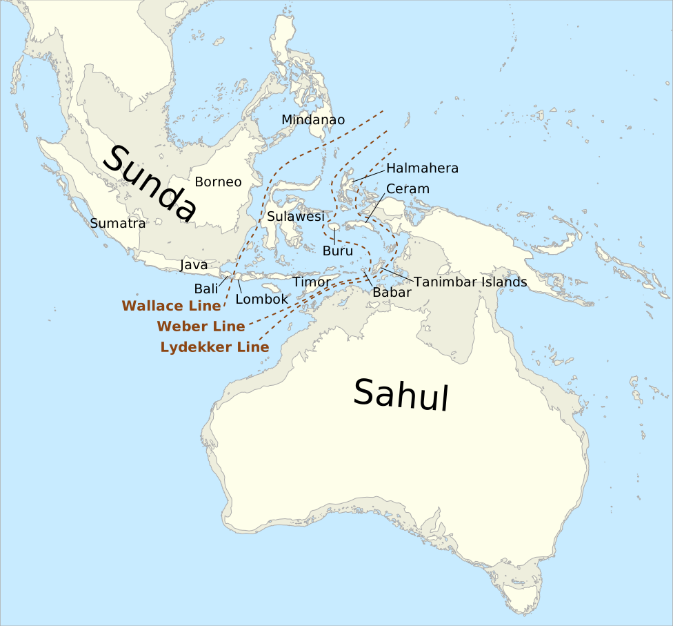
- Description:
- Submerged continental shelf, lowlands.
- Location:
- Southern Indonesia, Malaysia, Singapore.
- Climate:
- Tropical, humid.
- Features:
- Mangroves, peat swamps.
- Countries:
- Indonesia, Malaysia, Singapore.
4. Annamite Range:
-
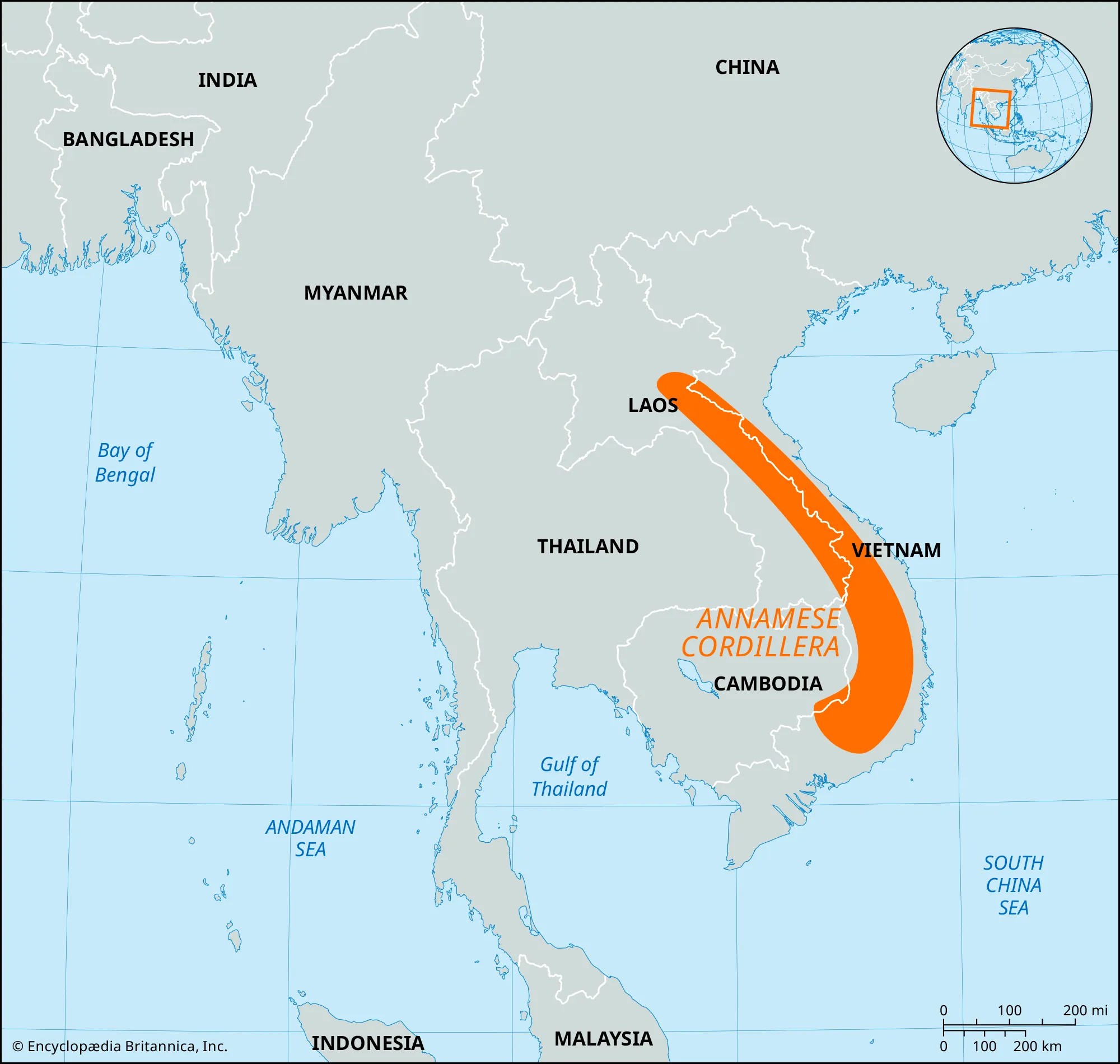
- Description:
- Rugged mountain chain.
- Location:
- Eastern Laos, Vietnam.
- Climate:
- Tropical, wet-dry seasons.
- Features:
- Forests, biodiversity hotspots.
- Countries:
- Laos, Vietnam.
- Formation:
- Tectonic collisions along the Pacific Ring of Fire formed volcanic islands and mountains; monsoon rains and erosion shaped river deltas and lowlands.
- Major Physical Features
- Mountain Ranges
- Annamite Range (Laos, Vietnam):
-
- Description:
- ~1,100 km, peaks at 2,598 m (Phou Bia).
- Formation:
- Indo-Australian plate collision, Cenozoic.
- Significance:
- Biodiversity, ethnic communities.
- Cardamom Mountains (Cambodia, Thailand):
-
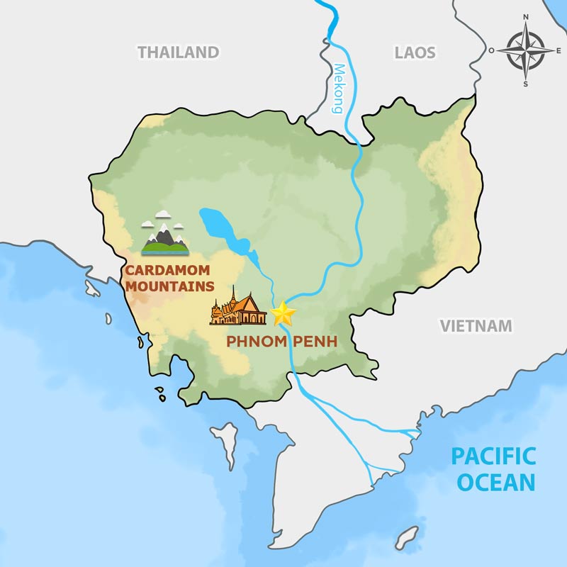
- Description:
- ~300 km, peaks at 1,813 m (Phnom Aural).
- Formation:
- Tectonic uplift, erosion.
- Significance:
- Rainforests, conservation.
- Arakan Yoma (Myanmar):
-
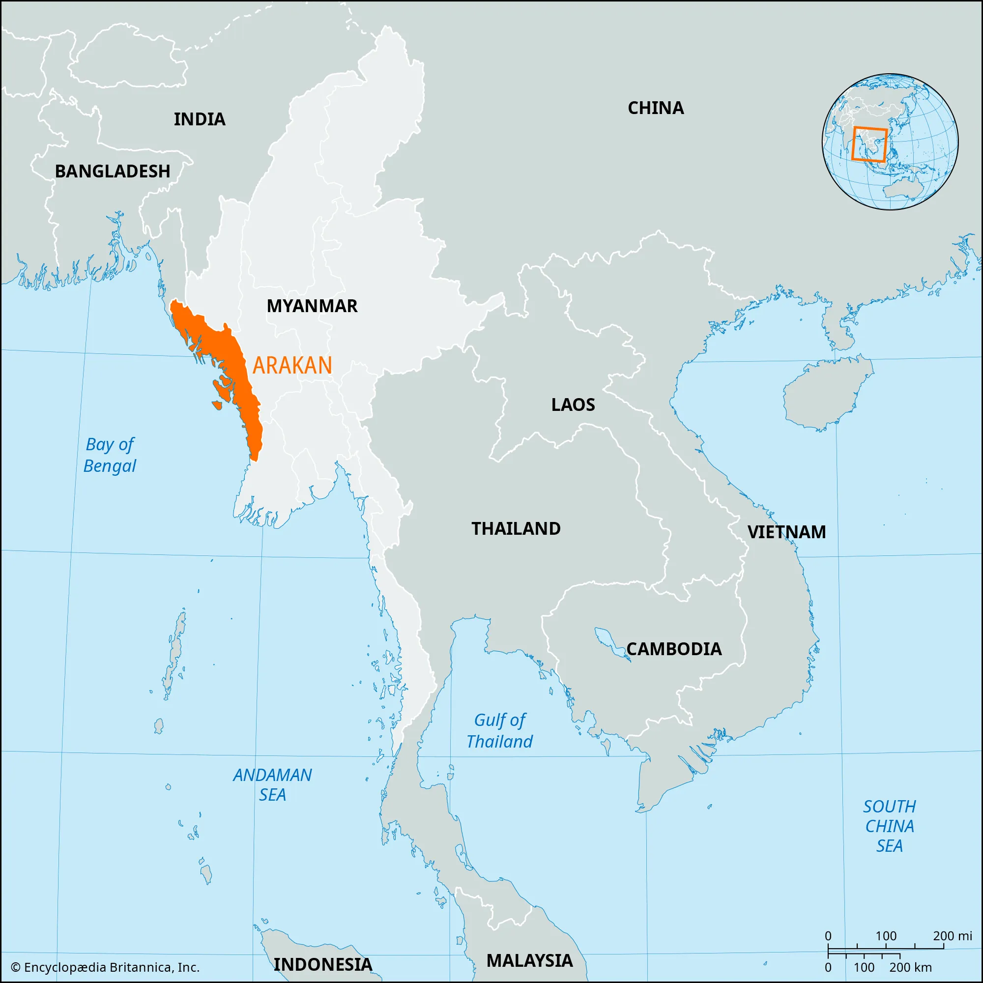
- Description:
- ~950 km, peaks at 3,094 m (Mt. Victoria).
- Formation:
- India-Asia plate collision.
- Significance:
- Tribal lands, forests.
- Plateaus
- Khorat Plateau (Thailand, Laos):
-
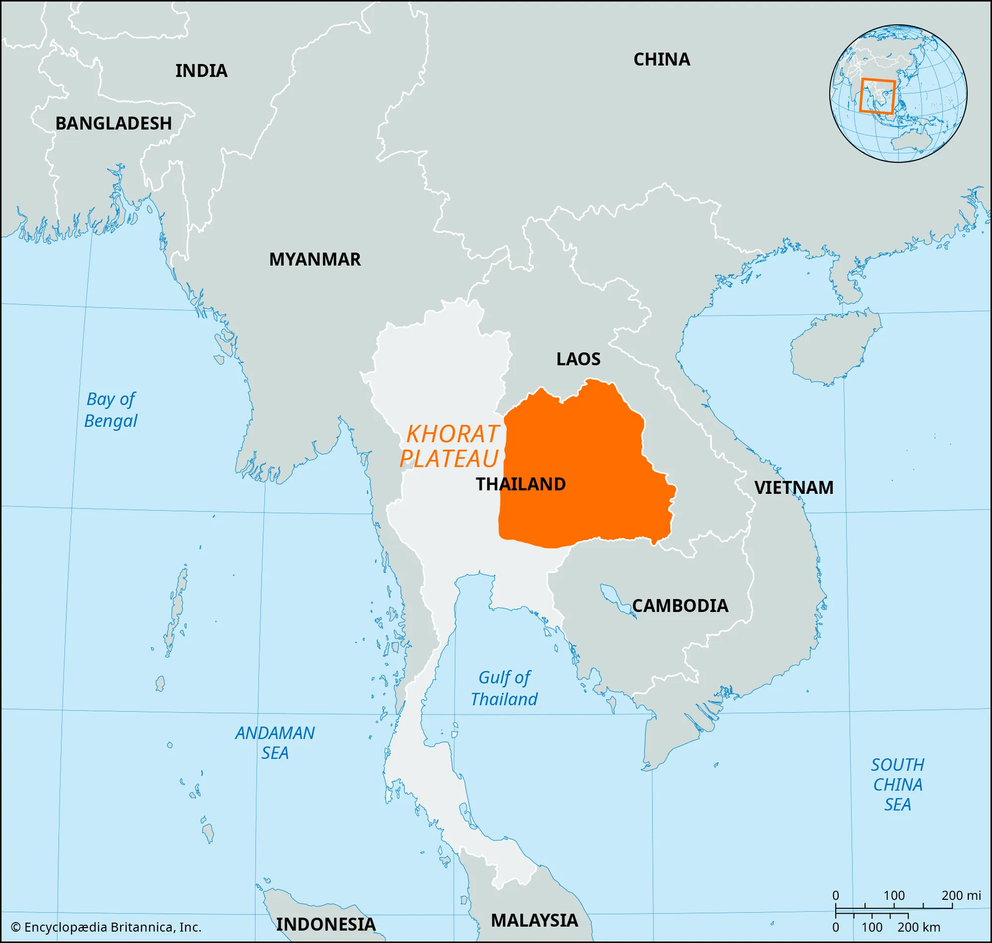
- Description:
- ~155,000 km², ~200 m elevation.
- Formation:
- Sedimentary uplift, erosion.
- Significance:
- Rice farming, arid challenges.
- Central Highlands (Vietnam):
-
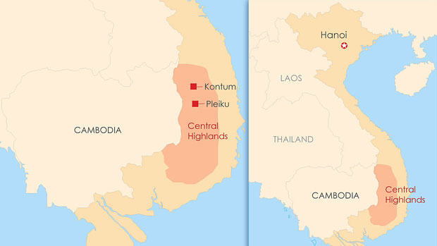
- Description:
- ~51,000 km², ~1,000 m.
- Formation:
- Volcanic activity, tectonic uplift.
- Significance:
- Coffee plantations, biodiversity.
- Shan Plateau (Myanmar):
-
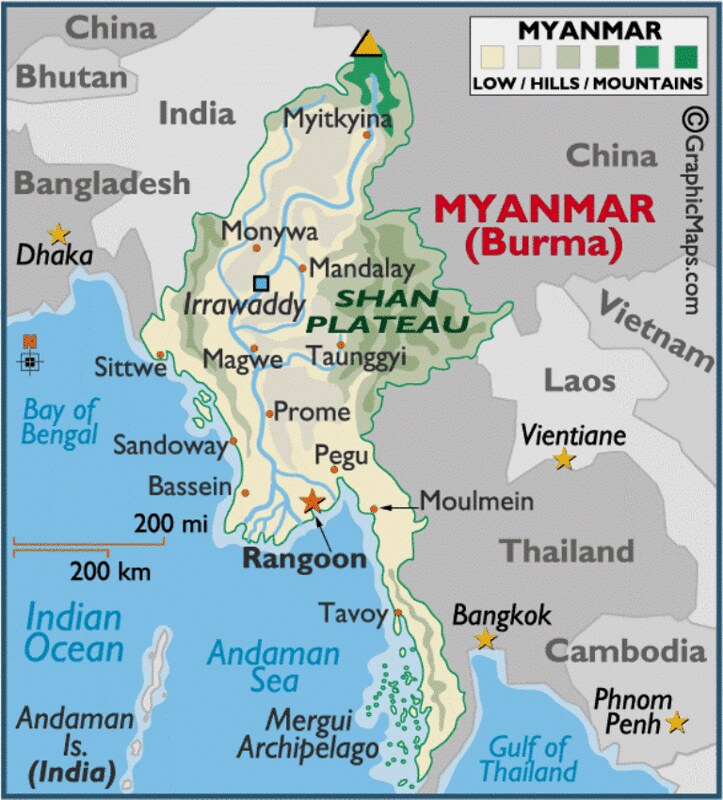
- Description:
- ~100,000 km², ~1,000 m.
- Formation:
- Tectonic folding, erosion.
- Significance:
- Agriculture, ethnic diversity.
- Plains
- Mekong Delta (Vietnam, Cambodia):
-
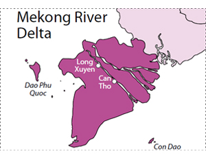
- Description:
- ~40,000 km², fertile floodplain.
- Formation:
- Alluvial deposition by Mekong River.
- Significance:
- Rice bowl, dense population.
- Irrawaddy Delta (Myanmar):
-
- Description:
- ~35,000 km², alluvial plain.
- Formation:
- Sedimentation by Irrawaddy River.
- Significance:
- Agriculture, cyclone risk.
- Chao Phraya Plain (Thailand):
-
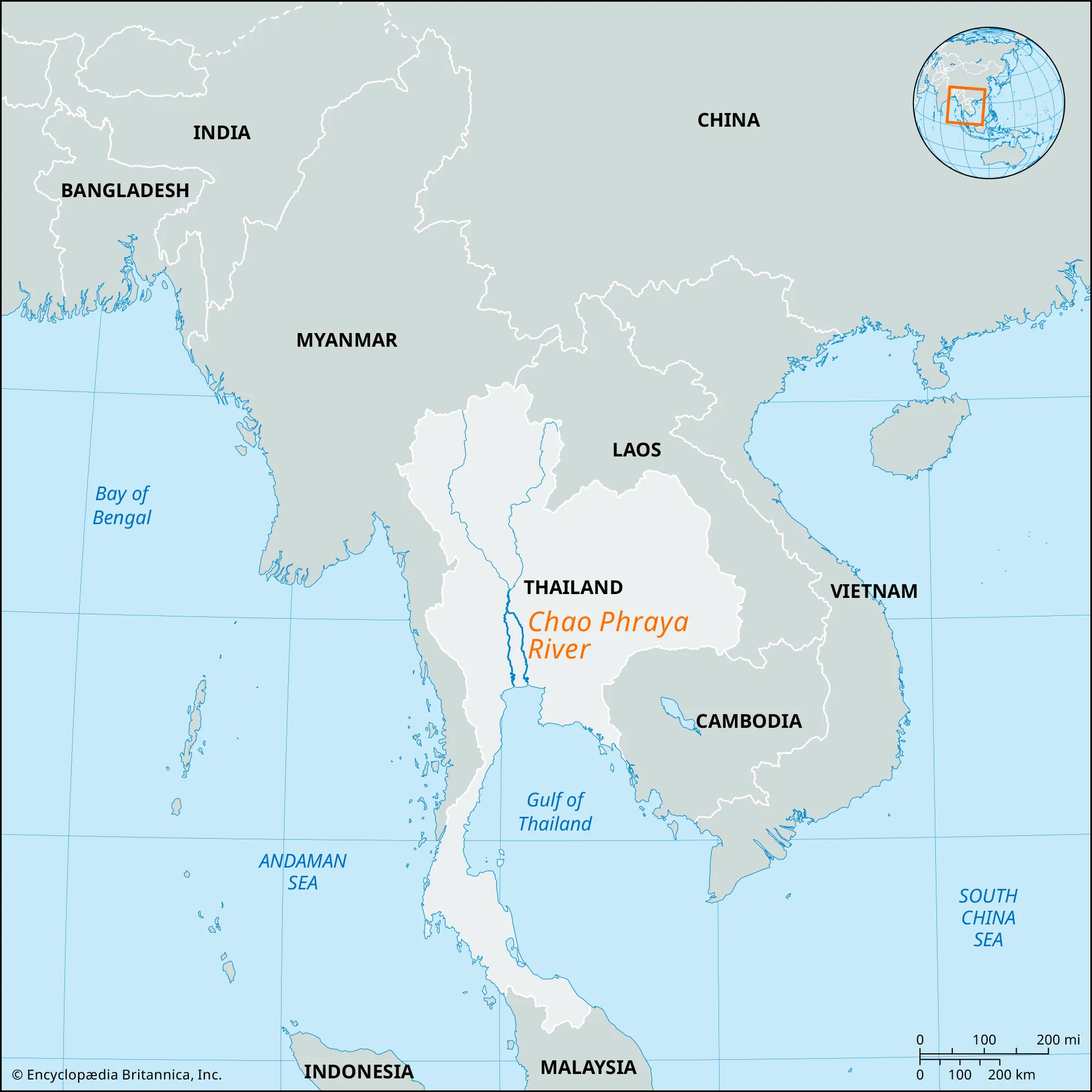
- Description:
- ~20,000 km², riverine lowland.
- Formation:
- Alluvial deposition, monsoon rains.
- Significance:
- Bangkok hub, rice farming.
- Deserts
- No significant deserts due to tropical climate; semi-arid areas exist in interior Thailand/Cambodia.
- Forests
- Borneo Rainforest (Indonesia, Malaysia, Brunei):
-
- Description:
- ~427,000 km², tropical rainforest.
- Formation:
- Equatorial rainfall, stable climate.
- Significance:
- Orangutan habitat, biodiversity.
- Cardamom Rainforest (Cambodia):
-
- Description:
- ~20,000 km², montane forest.
- Formation:
- High rainfall, orographic lift.
- Significance:
- Elephants, conservation challenges.
- Annamite Moist Forests (Vietnam, Laos):
-
- Description:
- ~100,000 km², tropical forest.
- Formation:
- Monsoon rains, high elevation.
- Significance:
- Saola habitat, logging threat.
- Major Water Bodies
- Rivers
- Mekong River (Vietnam, Cambodia, Laos, Thailand):
-
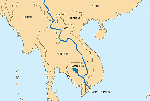
- Description:
- ~4,350 km, Southeast Asia’s longest.
- Formation:
- Fluvial erosion + himalayan-Tibetan source + structural guidance.
- Significance:
- Fisheries, rice irrigation.
- Irrawaddy River (Myanmar):
-
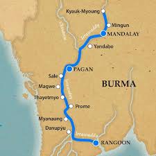
- Description:
- ~2,170 km, major waterway.
- Formation:
- Himalayan runoff, alluvial deposition.
- Significance:
- Agriculture, dolphin habitat.
- Chao Phraya River (Thailand):
-
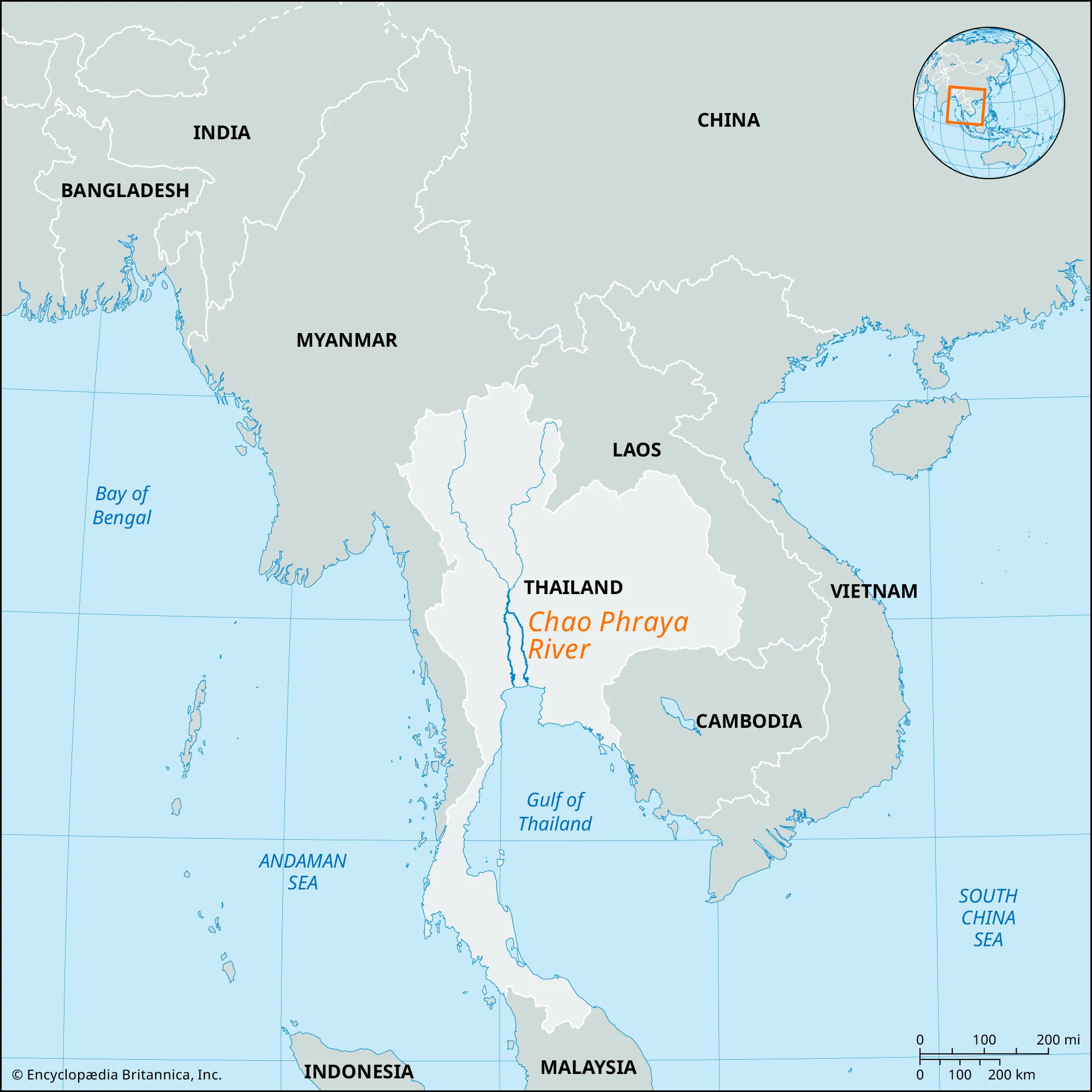
- Description:
- ~372 km, central plain.
- Formation:
- Monsoon drainage, sedimentary plain.
- Significance:
- Bangkok transport, farming.
- Lakes
- Tonle Sap (Cambodia):
-
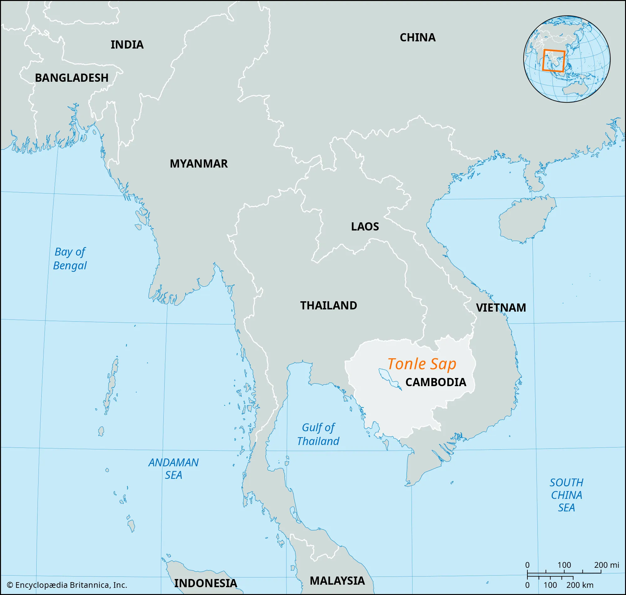
- Description:
- ~16,000 km² (monsoon peak), freshwater.
- Formation:
- Seasonal backflow from Mekong, floodplain lake.
- Significance:
- World’s largest freshwater fishery.
- Lake Toba (Indonesia):
-
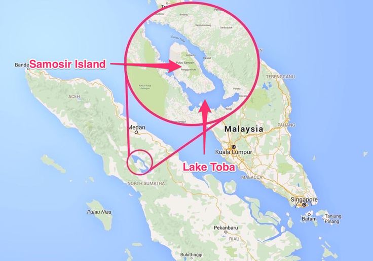
- Description:
- ~1,130 km², volcanic caldera.
- Formation:
- Supervolcanic eruption, 74,000 years ago.
- Significance:
- Tourism, Batak culture.
- Inle Lake (Myanmar):
-
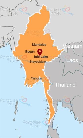
- Description:
- ~116 km², freshwater.
- Formation:
- Karst + fluvial basin.
- Significance:
- Floating gardens, tourism.
- Basins
- Mekong Basin (Vietnam, Cambodia, Laos, Thailand):
-
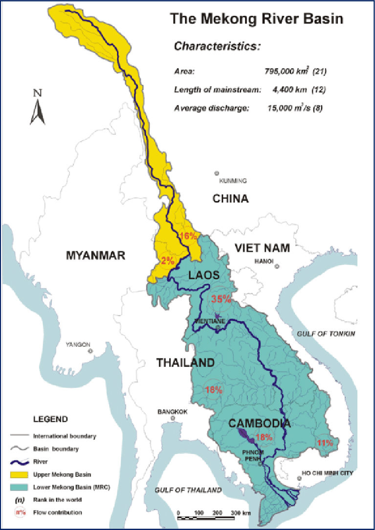
- Description:
- ~795,000 km², fertile.
- Formation:
- Drainage basin + shaped by fluvial processes.
- Significance:
- Rice production, hydropower disputes.
- Irrawaddy Basin (Myanmar):
-
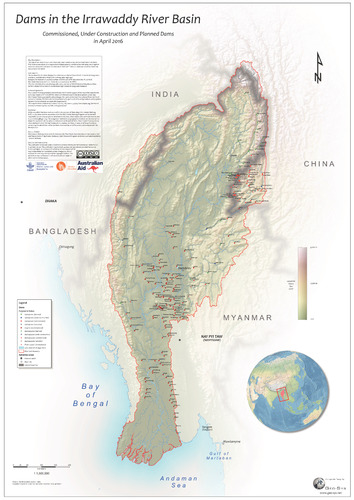
- Description:
- ~413,000 km², alluvial.
- Formation:
- Sedimentary deposition.
- Significance:
- Agriculture, flood risk.
- Sunda Basin (Indonesia, Malaysia):
-
- Description:
- ~800,000 km², submerged shelf.
- Formation:
- Marine sedimentation.
- Significance:
- Oil, gas exploration.
- Gulfs
- Gulf of Thailand (Thailand, Cambodia, Vietnam):
-
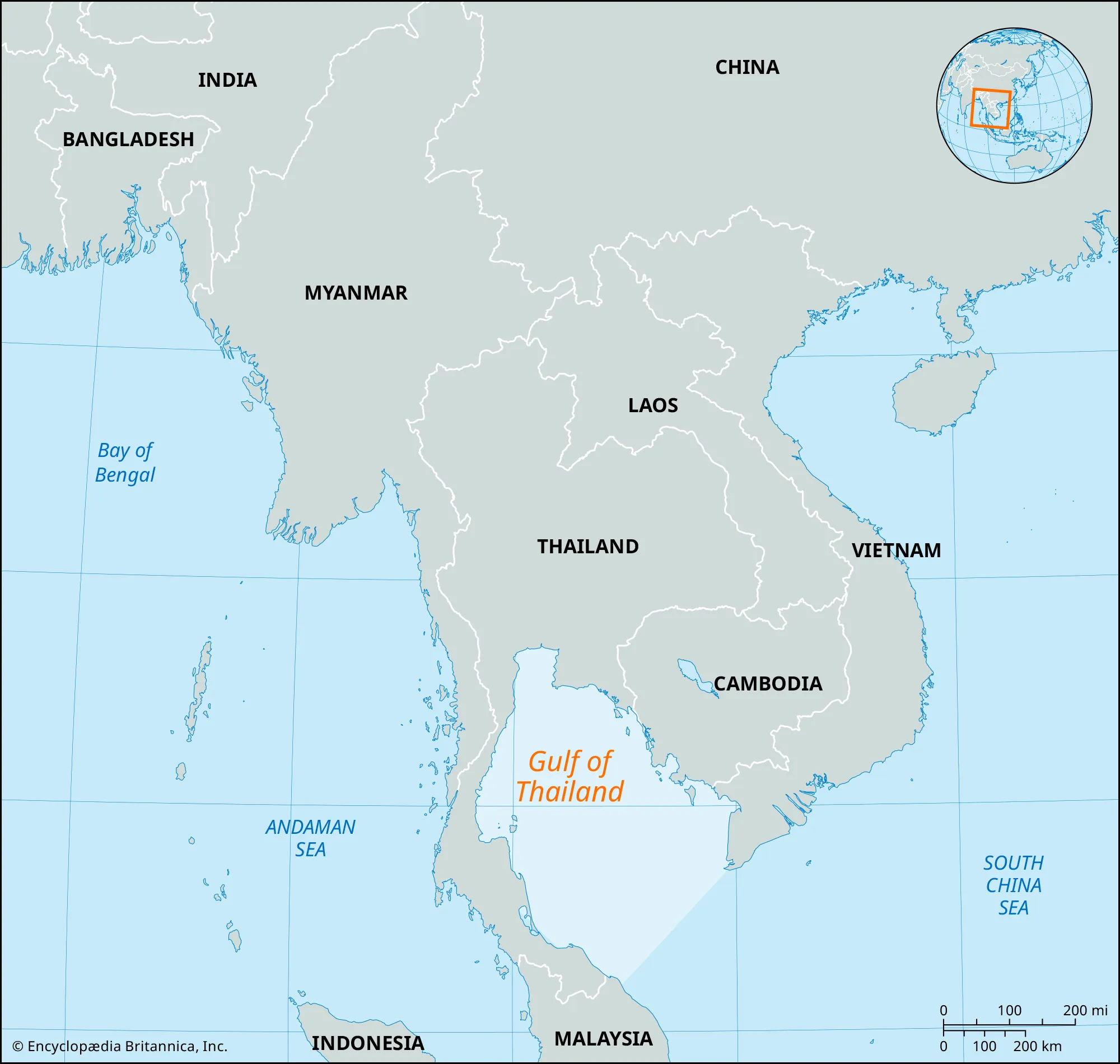
- Description:
- ~320,000 km², shallow sea.
- Formation:
- Shallow drowned shelf, sediment-filled basin.
- Significance:
- Fisheries, oil fields.
- Gulf of Tomini (Indonesia):
-
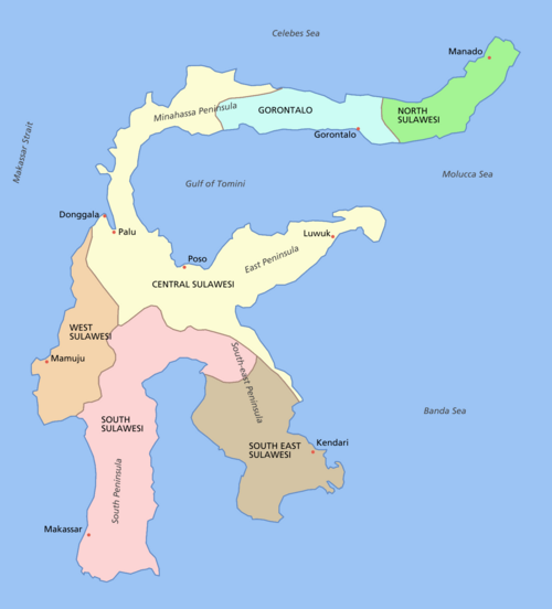
- Description:
- ~56,000 km², deep basin.
- Formation:
- Tectonic basin, volcanic activity.
- Significance:
- Coral reefs, marine biodiversity.
- Gulf of Carpentaria (Australia, Indonesia):
-
- Description:
- ~300,000 km², tropical sea.
- Formation:
- Continental shelf indentation.
- Significance:
- Fisheries, cyclone risk.
- Islands
- Borneo
-
- Country:
- Indonesia, Malaysia, Brunei
- Description:
- ~743,330 km², third-largest island.
- Formation:
- Sunda Shelf.
- Sumatra
-
- Country:
- Indonesia
- Description:
- ~473,481 km², volcanic.
- Formation:
- Subduction along Sunda Trench.
- Luzon
-
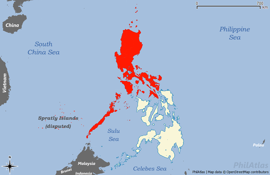
- Country:
- Philippines
- Description:
- ~109,965 km², largest in Philippines.
- Formation:
- Volcanic arc, tectonic collision.
- Java
-
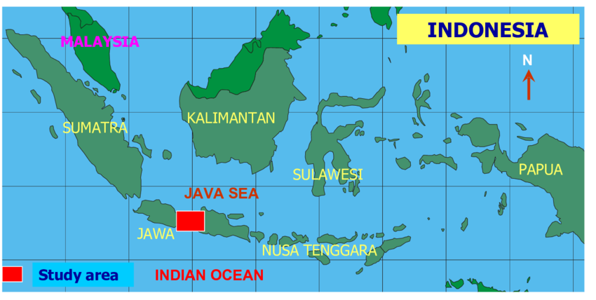
- Country:
- Indonesia
- Description:
- ~138,794 km², densely populated.
- Formation:
- Volcanic activity, tectonic uplift.
- Mindanao
-
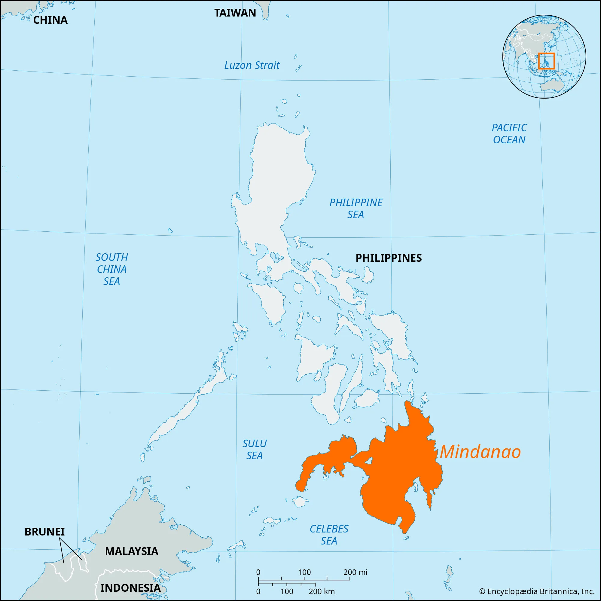
- Country:
- Philippines
- Description:
- ~97,530 km², rugged terrain.
- Formation:
- Tectonic collision, volcanic.
- National Parks/Protected Areas
- Taman Negara National Park (Malaysia):
-
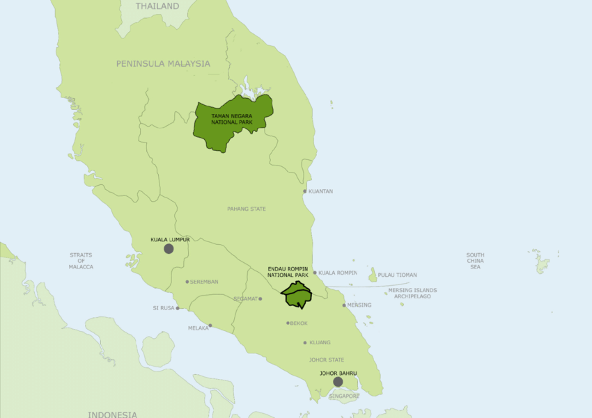
- Description:
- ~4,343 km², ancient rainforest.
- Significance:
- Malayan tiger, ecotourism.
- Gunung Leuser National Park (Indonesia):
-
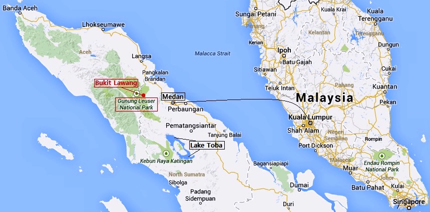
- Description:
- ~7,927 km², Sumatran rainforest.
- Significance:
- Orangutans, UNESCO site.
- Khao Sok National Park (Thailand):
-
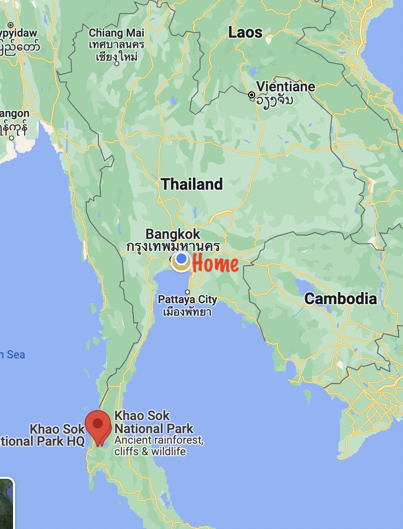
- Description:
- ~739 km², limestone karst forest.
- Significance:
- Biodiversity, tourism.
- Biodiversity Hotspots
- Sundaland (Indonesia, Malaysia):
-
- Description:
- ~1.5 million km², island ecosystems.
- Significance:
- Orangutans, deforestation threat.
- Indo-Burma (Myanmar, Thailand, Vietnam):
-
- Description:
- ~2.37 million km², tropical forests.
- Significance:
- Saola, logging pressure.
- Philippines (Philippines):
-
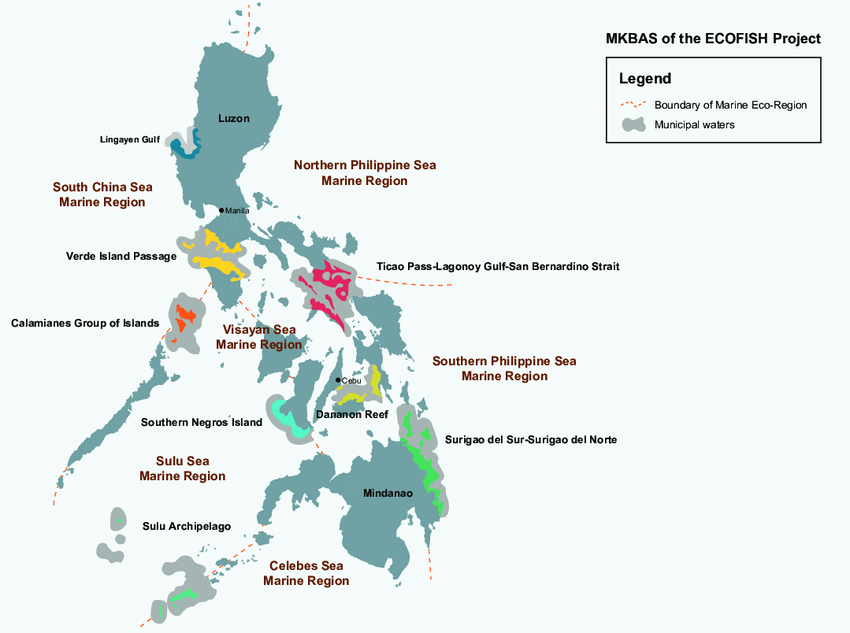
- Description:
- ~297,000 km², archipelagic.
- Significance:
- Endemic species, coral reefs.
- Human Impact
- Deforestation (Borneo, Sumatra):
- Palm oil plantations reduce rainforest cover, threaten biodiversity.
- Mekong Damming:
- Hydropower dams disrupt fisheries, livelihoods.
- Coral Bleaching (South China Sea):
- Climate change and pollution harm reefs, impacting tourism.
- Urbanization (Singapore, Bangkok):
- Coastal reclamation degrades mangroves, increases flood risk.
- Middle East
-
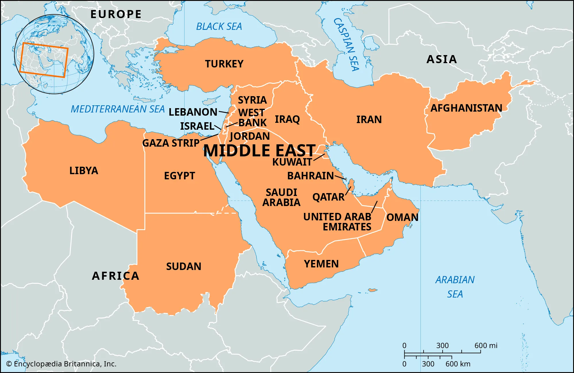
- Overview
- The Middle East, a transcontinental region spanning parts of Asia and Africa, covers ~7.2 million km², with a population of ~430 million (2023).
- It features vast deserts, fertile river valleys, and strategic waterways, shaped by tectonic activity, arid climates, and historical trade routes.
- It is the craddle of human civilization (Egyptians, Mesopotamia, Babylon, etc)
- Countries (16 recognized sovereign states, excluding Palestine)
- Bahrain
- Capital: Manama
- Cyprus
- Capital: Nicosia
- Egypt (Sinai Peninsula)
- Capital: Cairo
- Iran
- Capital: Tehran
- Iraq
- Capital: Baghdad
- Israel
- Capital: Jerusalem
- Jordan
- Capital: Amman
- Kuwait
- Capital: Kuwait City
- Lebanon
- Capital: Beirut
- Oman
- Capital: Muscat
- Palestine
- Capital: Ramallah
- Qatar
- Capital: Doha
- Saudi Arabia
- Capital: Riyadh
- Syria
- Capital: Damascus
- Turkey (Anatolia)
- Capital: Ankara
- United Arab Emirates
- Capital: Abu Dhabi
- Yemen
- Capital: Sana’a
- Physiographic Divisions
- The Middle East’s landscape is divided into four regions:
1. Arabian Peninsula:
-
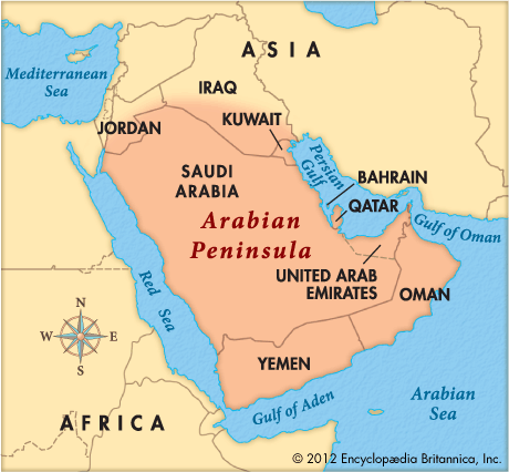
- Description:
- Arid plateau with coastal mountains.
- Location:
- Southern Middle East.
- Climate:
- Arid (BWh in Köppen).
- Features:
- Deserts, oases, oil fields.
- Countries:
- Saudi Arabia, Yemen, Oman, UAE, Qatar, Bahrain, Kuwait.
2. Mesopotamian Lowlands:
-
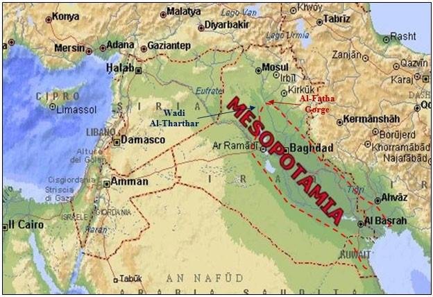
- Description:
- Fertile river plains.
- Location:
- Iraq, Syria.
- Climate:
- Semi-arid to temperate.
- Features:
- Tigris-Euphrates rivers, marshes.
- Countries:
- Iraq, Syria.
3. Iranian Plateau:
-
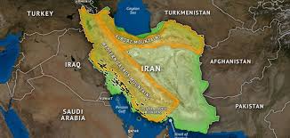
- Description:
- High, rugged plateau.
- Location:
- Iran, parts of Iraq.
- Climate:
- Continental, arid.
- Features:
- Salt flats, mountains.
- Countries:
- Iran.
4. Levantine Coast:
-
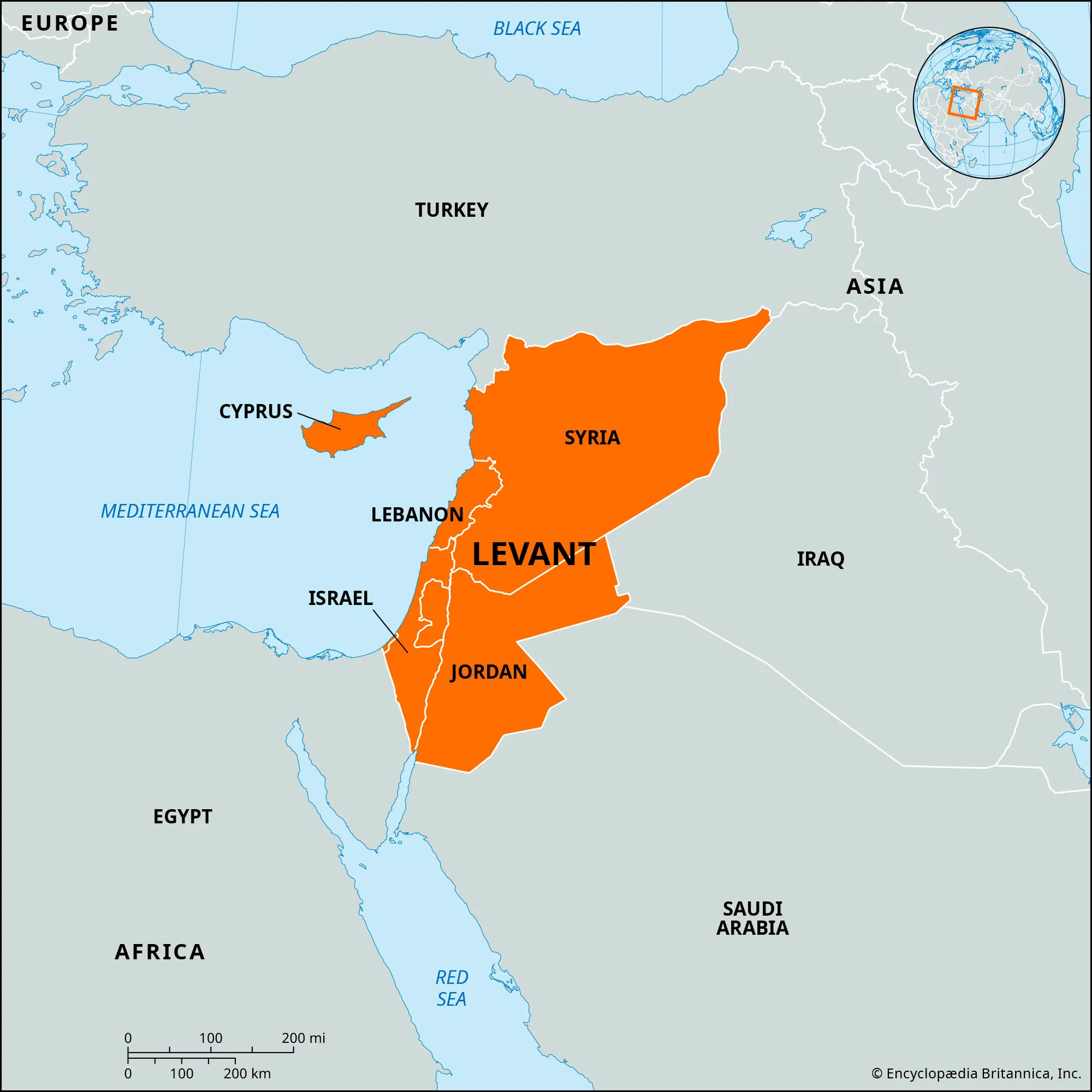
- Description:
- Narrow coastal strip with mountains.
- Location:
- Western Middle East.
- Climate:
- Mediterranean (Csa).
- Features:
- Fertile valleys, ports.
- Countries:
- Lebanon, Israel, Palestine, Syria, Cyprus, Turkey.
- Formation:
- Tectonic collisions (Arabian-Eurasian plates) formed mountains; erosion and aridity created deserts; river sedimentation shaped fertile plains.
- Major Physical Features
- Mountain Ranges
- Zagros Mountains (Iran, Iraq):
-
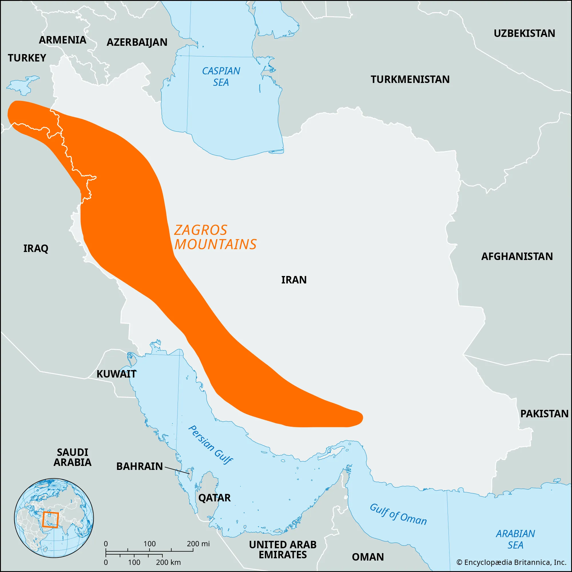
- Description:
- ~1,600 km, peaks at 4,409 m (Zard Kuh).
- Formation:
- Arabian-Eurasian plate collision, Cenozoic.
- Significance:
- Oil fields, Kurdish communities.
- Taurus Mountains (Turkey):
-
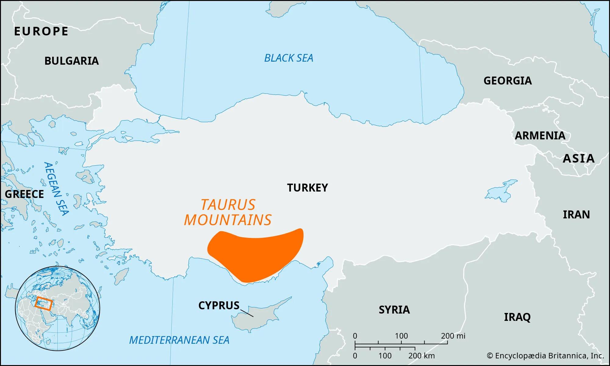
- Description:
- ~1,500 km, peaks at 3,756 m (Mt. Demirkazık).
- Formation:
- Tectonic folding, Alpine orogeny.
- Significance:
- Water source, agriculture.
- Al Hajar Mountains (Oman, UAE):
-
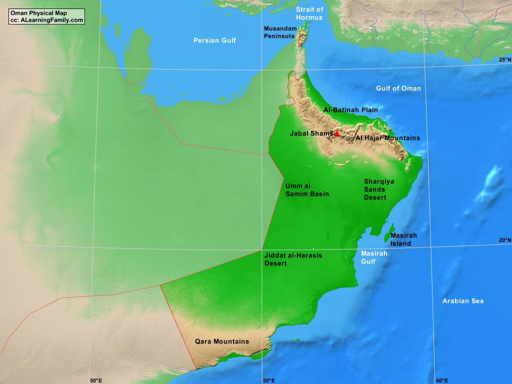
- Description:
- ~700 km, peaks at 3,018 m (Jebel Shams).
- Formation:
- Tectonic uplift, Arabian plate.
- Significance:
- Oases, tourism.
- Plateaus
- Iranian Plateau (Iran):
-
- Description:
- ~1.7 million km², ~1,200 m elevation.
- Formation:
- Tectonic uplift, volcanic activity.
- Significance:
- Agriculture, urban centers.
- Najd Plateau (Saudi Arabia):
-
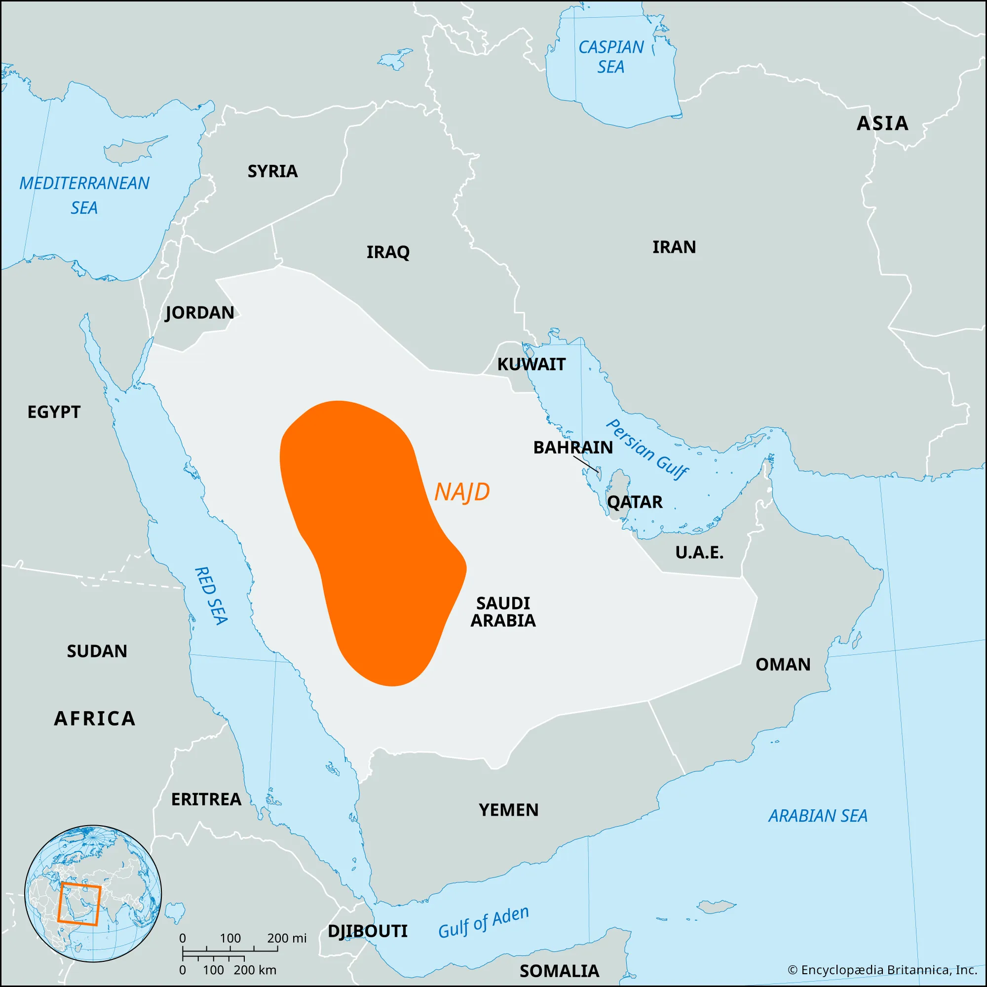
- Description:
- ~500,000 km², ~1,000 m.
- Formation:
- Ancient craton, erosion.
- Significance:
- Oil reserves, nomadic tribes.
- Anatolian Plateau (Turkey):
-
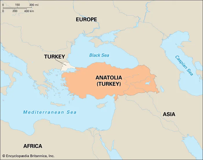
- Description:
- ~400,000 km², ~1,500 m.
- Formation:
- Tectonic uplift, volcanic.
- Significance:
- Agriculture, historical sites.
- Plains
- Mesopotamian Plain (Iraq, Syria):
-
- Description:
- ~200,000 km², fertile alluvial plain.
- Formation:
- Tigris-Euphrates sedimentation.
- Significance:
- Cradle of civilization, agriculture.
- Nile Delta (Egypt):
-
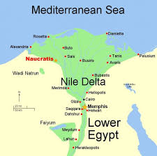
- Description:
- ~24,000 km², fertile delta.
- Formation:
- Nile River sedimentation.
- Significance:
- Agriculture, dense population.
- Bekaa Valley (Lebanon):
-
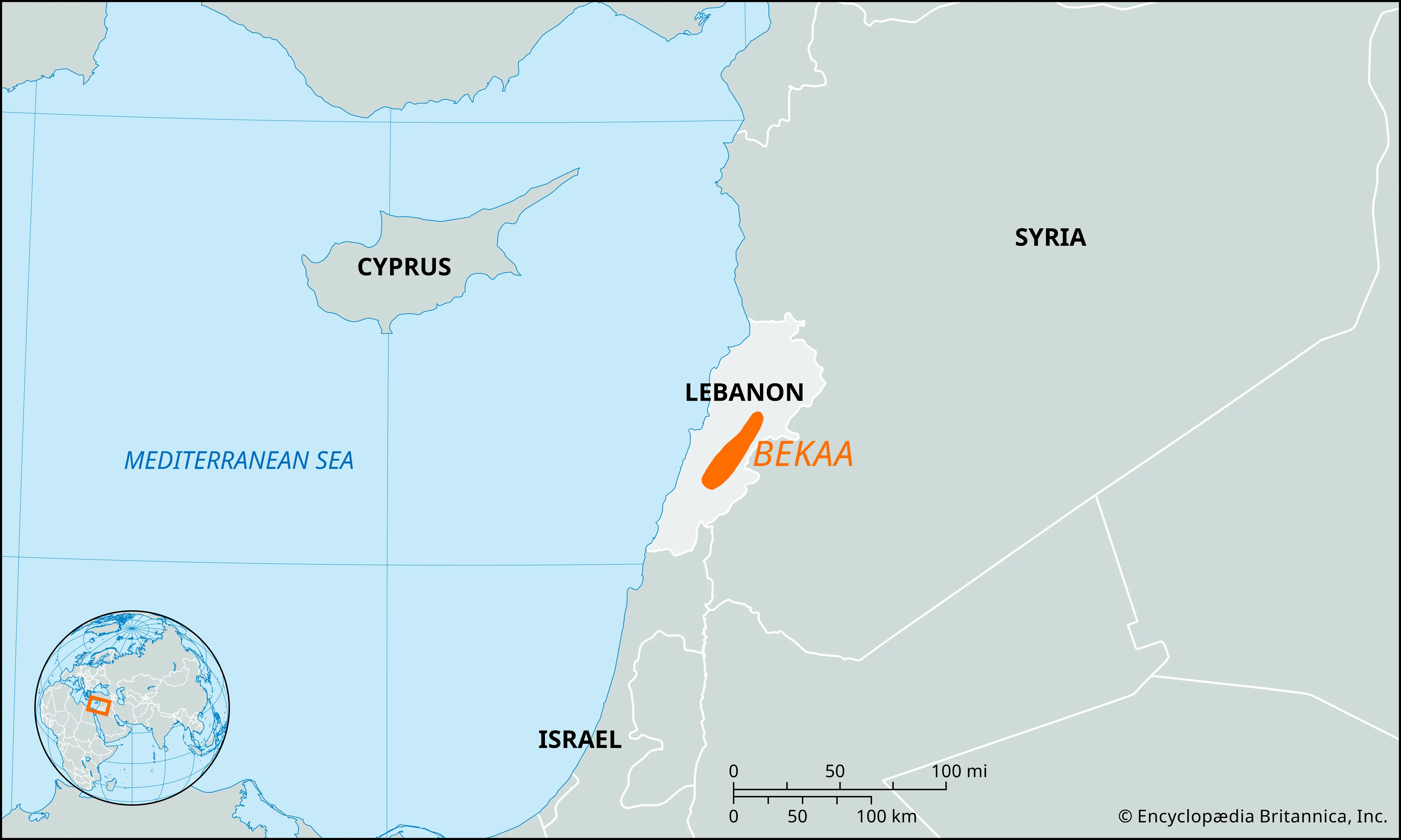
- Description:
- ~4,000 km², fertile valley.
- Formation:
- Tectonic rift, alluvial deposition.
- Significance:
- Wine production, agriculture.
- Deserts
- Arabian Desert (Saudi Arabia, Yemen, Oman):
-
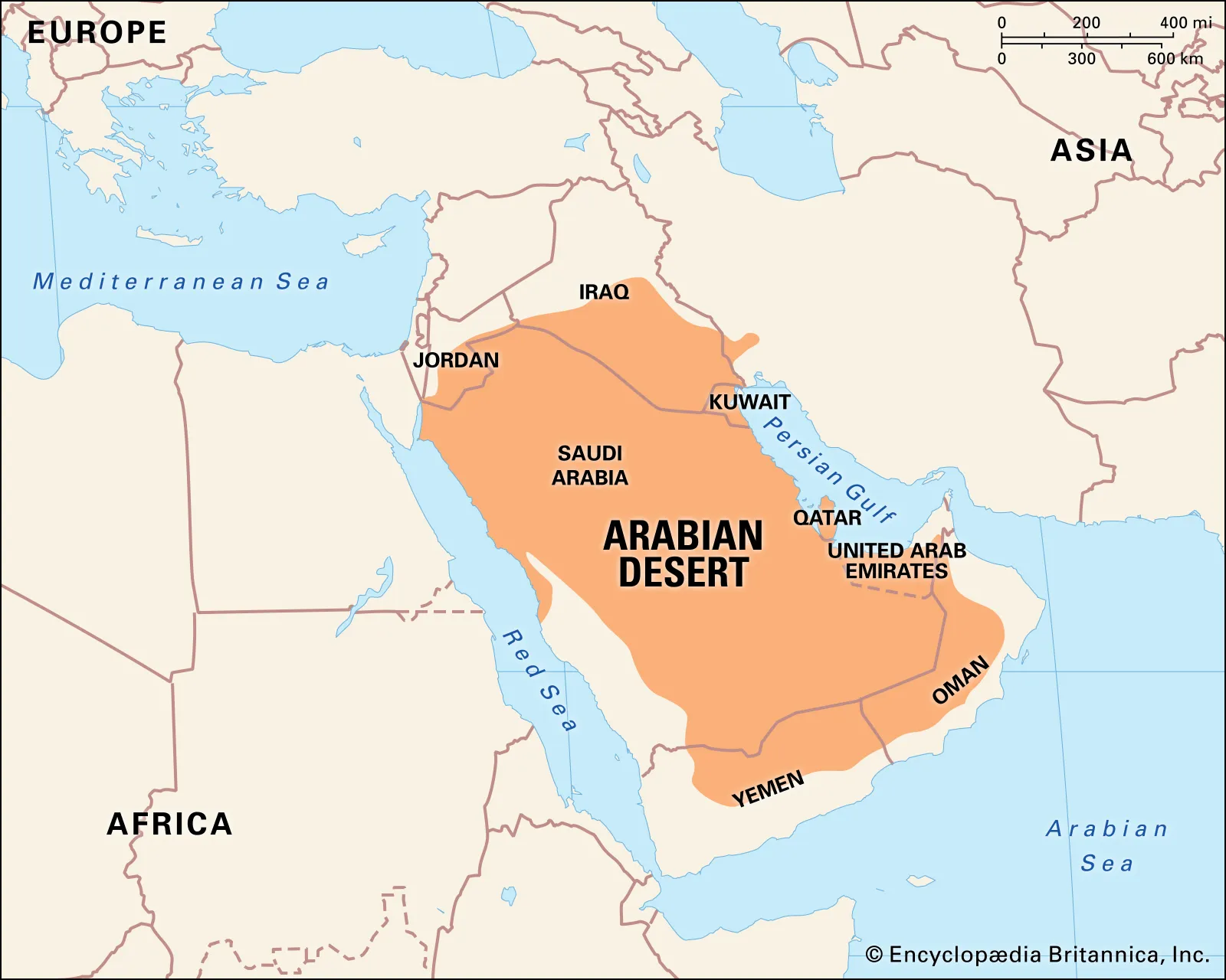
- Description:
- ~2.3 million km², vast sand seas.
- Formation:
- Arid climate, rain shadow.
- Significance:
- Oil reserves, nomadic culture.
- Syrian Desert (Syria, Jordan, Iraq):
-
- Description:
- ~500,000 km², rocky desert.
- Formation:
- Continental aridity, erosion.
- Significance:
- Historical trade routes, archaeology.
- Dasht-e Kavir (Iran):
-
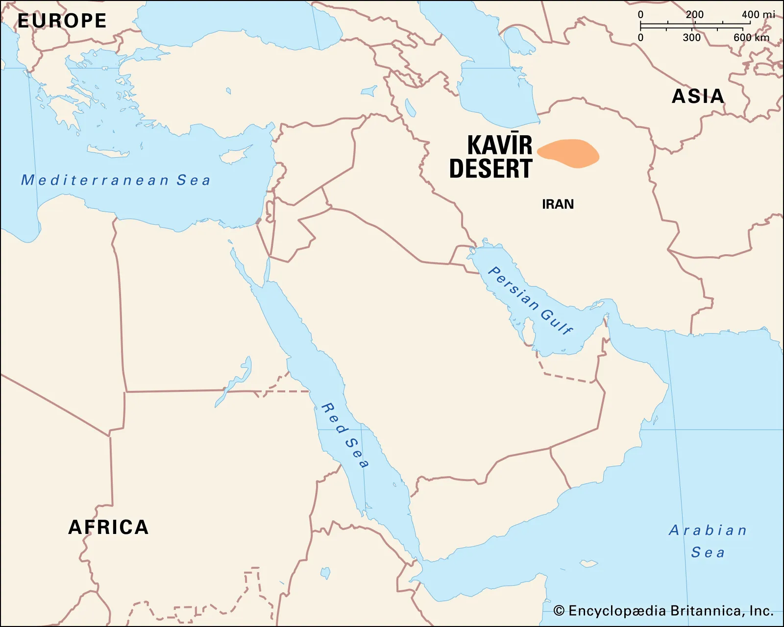
- Description:
- ~77,000 km², salt desert.
- Formation:
- Tectonic basin, evaporation.
- Significance:
- Salt mining, unique ecosystems.
- Forests
- Elburz Mountain Forests (Iran):
-
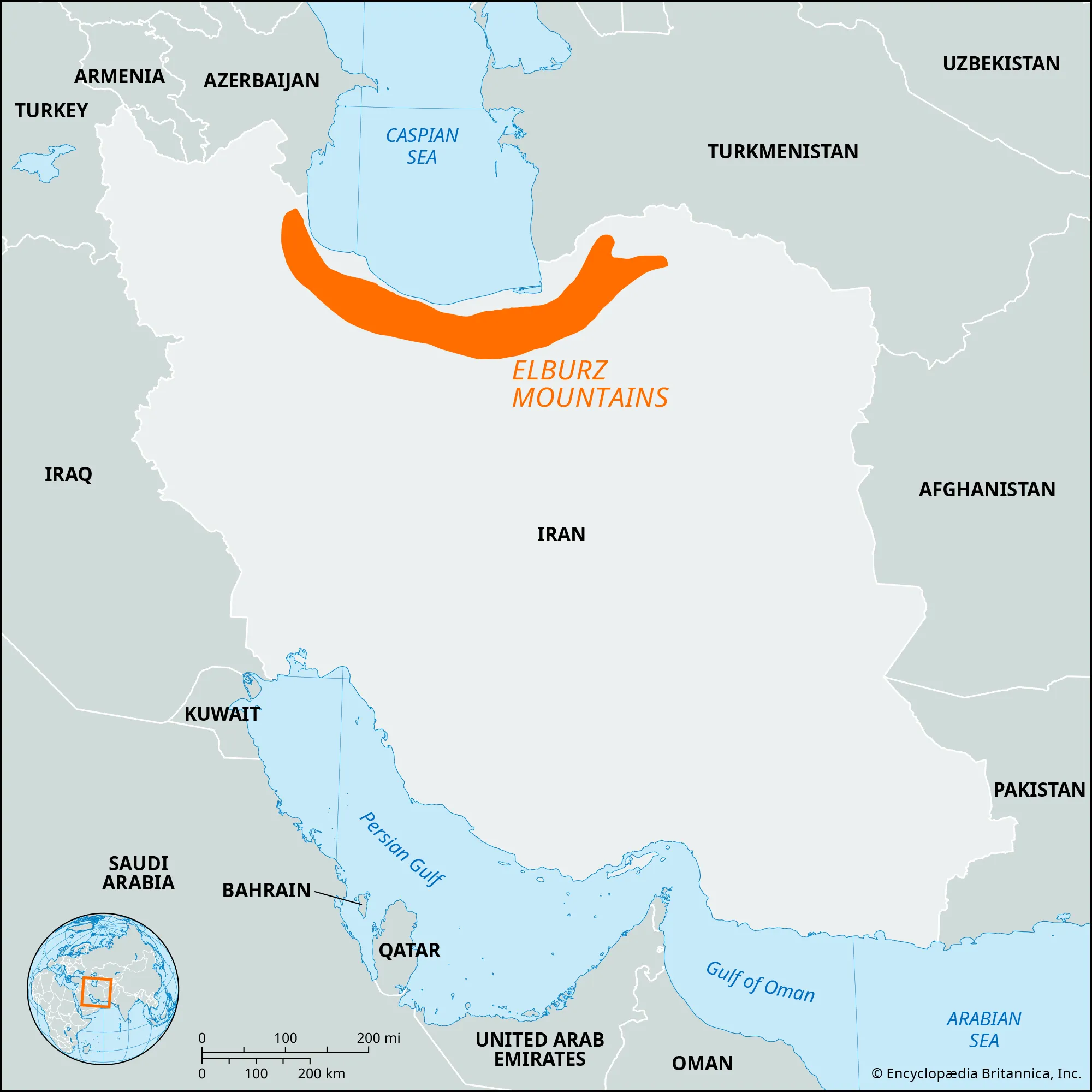
- Description:
- ~20,000 km², temperate forest.
- Formation:
- Caspian moisture, orographic lift.
- Significance:
- Biodiversity, tourism.
- Cedar Forests (Lebanon):
-
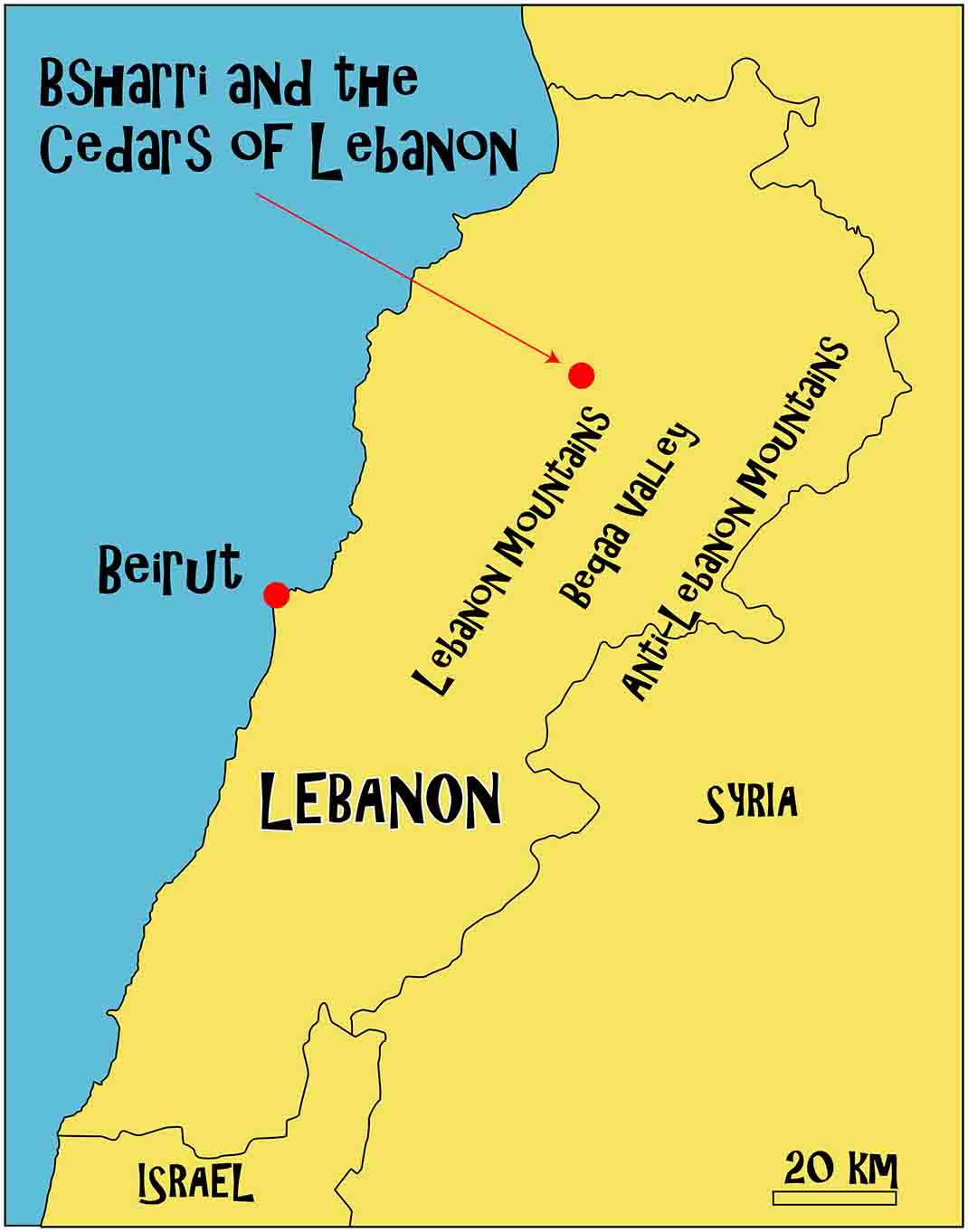
- Description:
- ~20 km², montane cedar groves.
- Formation:
- Mediterranean climate, high elevation.
- Significance:
- Cultural symbol, conservation.
- Mangrove Forests (Persian Gulf):
-
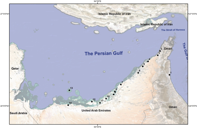
- Description:
- Limited mangrove patches along Gulf coasts.
- Formation:
- Tidal zones, saline tolerance.
- Significance:
- Fisheries, coastal protection.
- Major Water Bodies
- Rivers
- Tigris River (Iraq, Turkey, Syria):
-
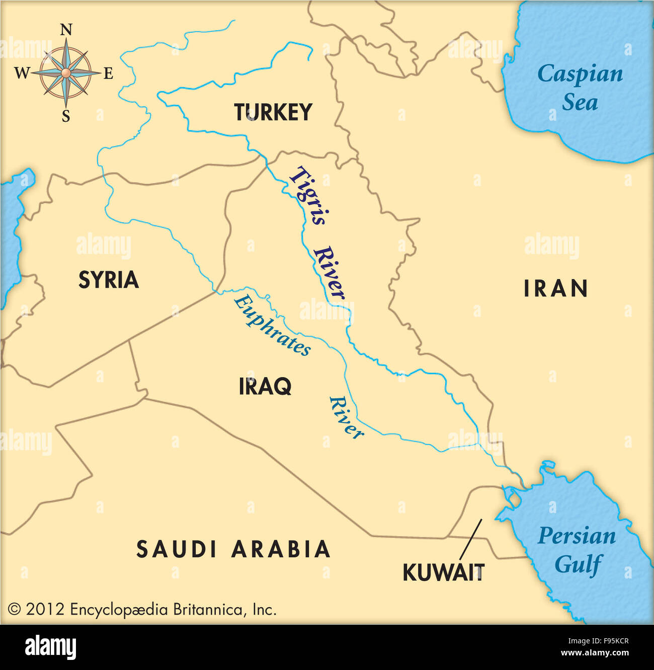
- Description:
- ~1,850 km, major waterway.
- Formation:
- Taurus Mountains runoff.
- Significance:
- Irrigation, historical cities.
- Euphrates River (Turkey, Syria, Iraq):
-
- Description:
- ~2,800 km, fertile crescent.
- Formation:
- Anatolian Plateau runoff, alluvial.
- Significance:
- Agriculture, hydropower.
- Jordan River (Israel, Jordan, Palestine):
-
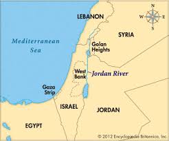
- Description:
- ~251 km, sacred river.
- Formation:
- Rift valley drainage, tectonic.
- Significance:
- Religious sites, water disputes.
- Lakes
- Lake Urmia (Iran):
-
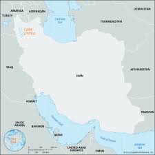
- Description:
- ~5,200 km² (shrinking), saline.
- Formation:
- Endorheic basin, climatic + hydrological
- Significance:
- Flamingos, ecological crisis.
- Dead Sea (Israel, Jordan, Palestine):
-
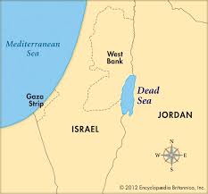
- Description:
- ~605 km², hypersaline lake.
- Formation:
- Jordan Rift Valley, tectonic.
- Significance:
- Lowest point on Earth, tourism.
- Lake Van (Turkey):
-
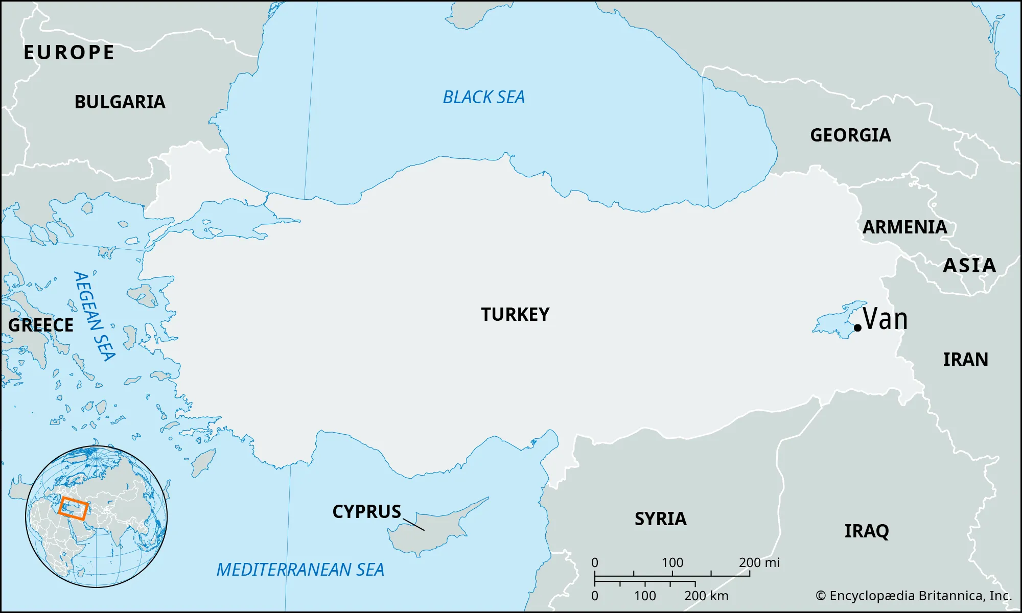
- Description:
- ~3,755 km², alkaline lake.
- Formation:
- Volcanic dam, tectonic basin.
- Significance:
- Historical sites, fisheries.
- Basins
- Tigris-Euphrates Basin (Iraq, Syria, Turkey):
-
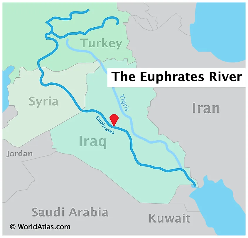
- Description:
- ~375,000 km², fertile.
- Formation:
- Alluvial deposition, tectonic.
- Significance:
- Agriculture, ancient civilizations.
- Rub’ al Khali Basin (Saudi Arabia, Yemen, Oman):
-
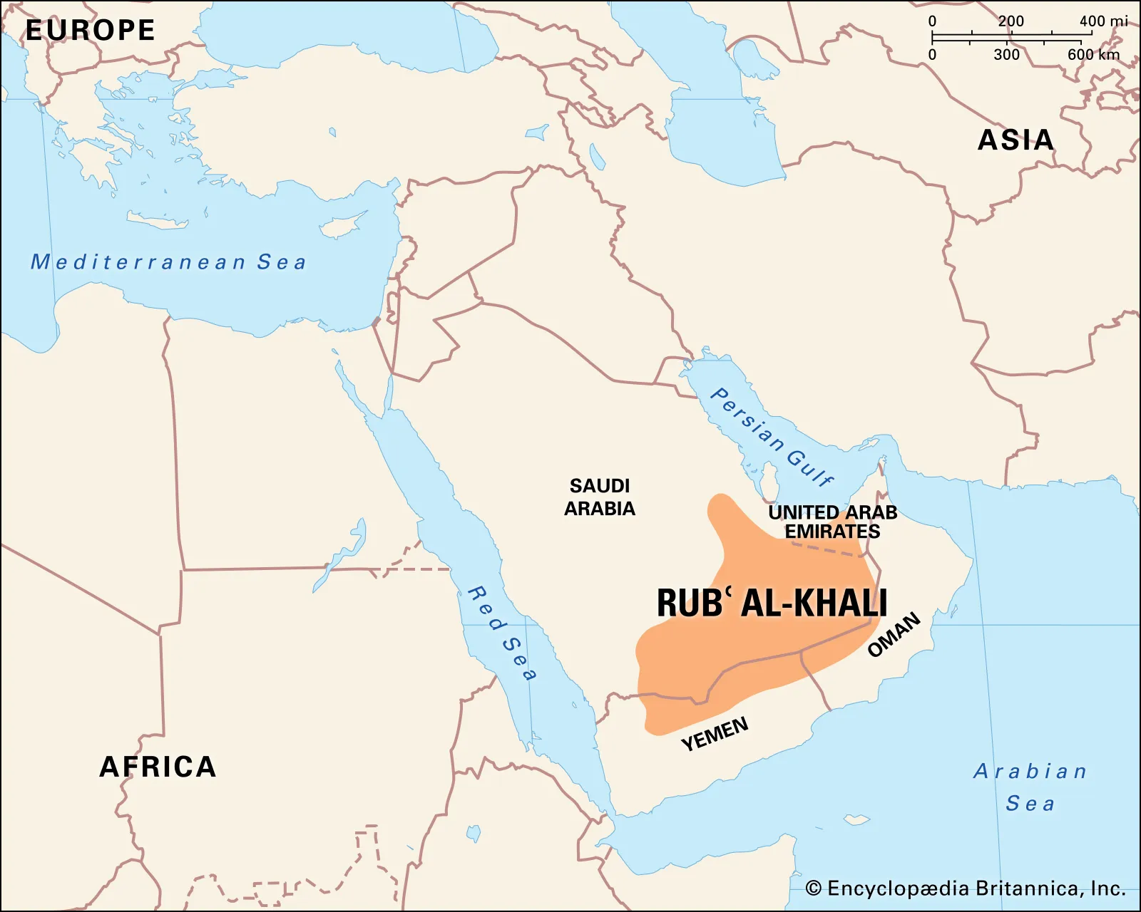
- Description:
- ~650,000 km², arid.
- Formation:
- Climatic desert basin, wind deposition, subtropical high pressure zone
- Significance:
- Oil reserves, nomadic routes.
- Jordan Valley Basin (Israel, Jordan, Palestine):
-
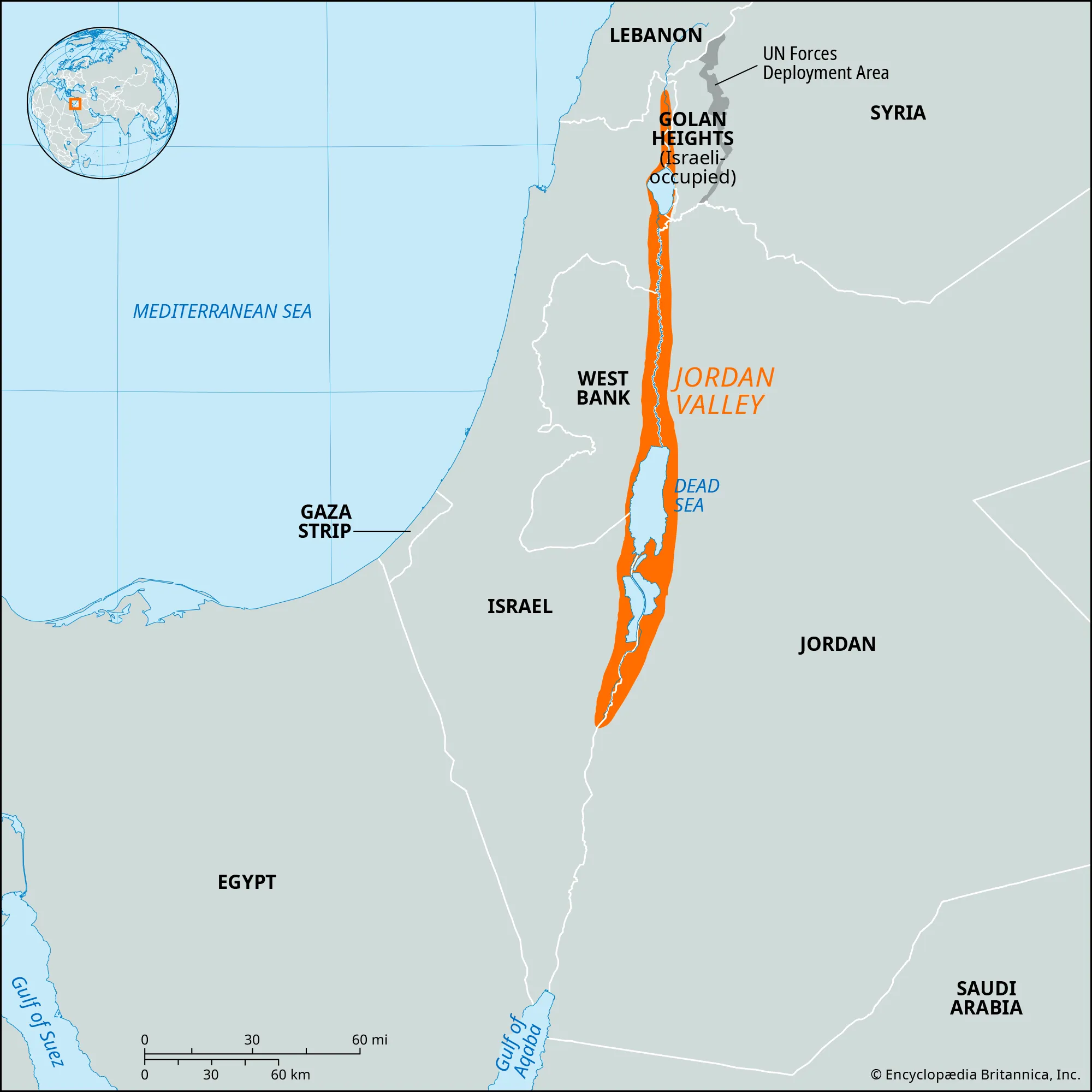
- Description:
- ~18,000 km², rift valley.
- Formation:
- Tectonic rifting, alluvial.
- Significance:
- Agriculture, geopolitical tensions.
- Gulfs
- Persian Gulf (Iran, Saudi Arabia, UAE):
-
- Description:
- ~251,000 km², shallow sea.
- Formation:
- Shallow epicontinental sea, drowned shelf, sediment-filled basin
- Significance:
- Oil shipping, geopolitics.
- Gulf of Oman (Oman, Iran, UAE):
-
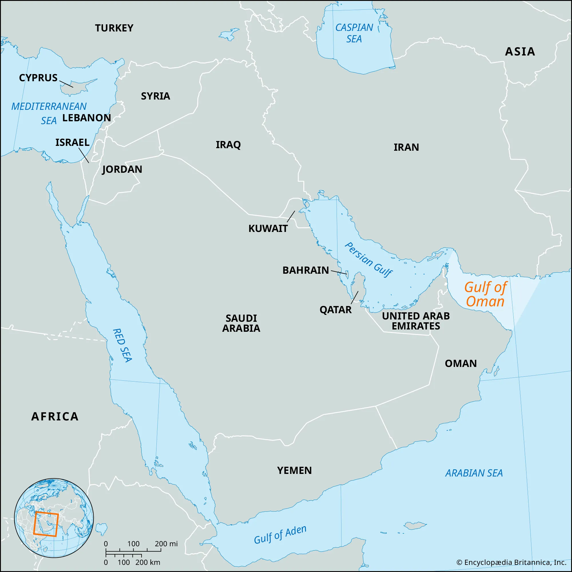
- Description:
- ~181,000 km², deep water.
- Formation:
- Tectonic basin, plate collision.
- Significance:
- Trade routes, fisheries.
- Gulf of Aqaba (Egypt, Israel, Jordan, Saudi Arabia):
-
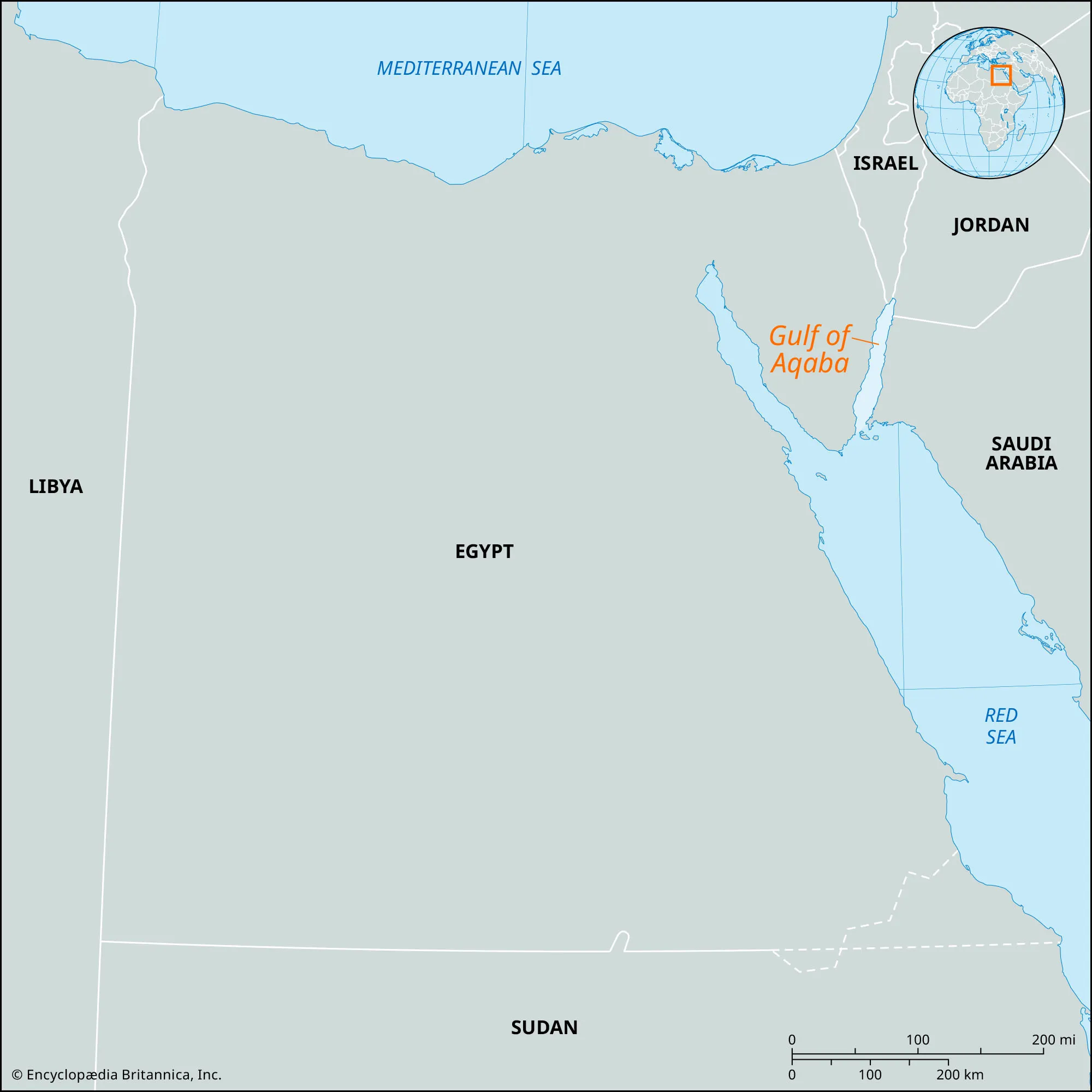
- Description:
- ~2,400 km², rift gulf.
- Formation:
- Red Sea rift extension, tectonic.
- Significance:
- Coral reefs, tourism.
- Islands
- Bahrain
-
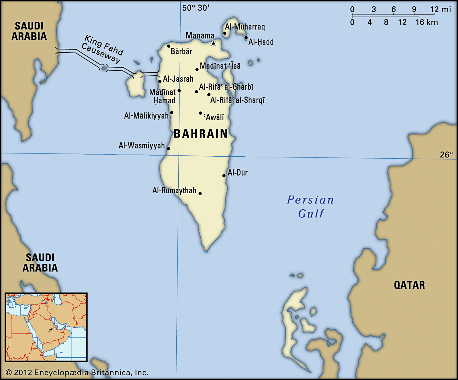
- Country:
- Bahrain
- Description:
- ~780 km², archipelago.
- Formation:
- Coral and sedimentary uplift.
- Qeshm Island
-
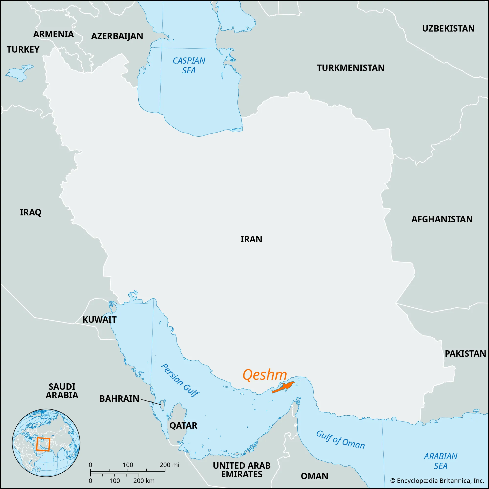
- Country:
- Iran
- Description:
- ~1,491 km², largest in Persian Gulf.
- Formation:
- Tectonic uplift, salt domes.
- Socotra
-
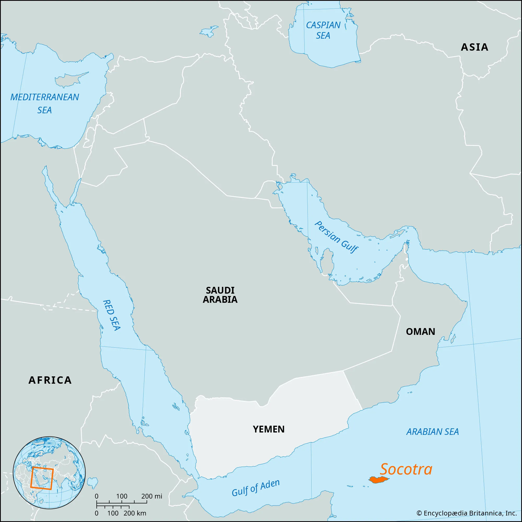
- Country:
- Yemen
- Description:
- ~3,829 km², biodiverse.
- Formation:
- Continental fragment, tectonic drift.
- Masirah Island
-
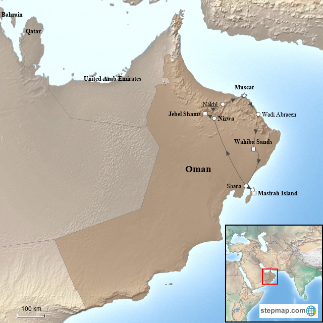
- Country:
- Oman
- Description:
- ~649 km², arid.
- Formation:
- Tectonic uplift, marine erosion.
- Cyprus
-
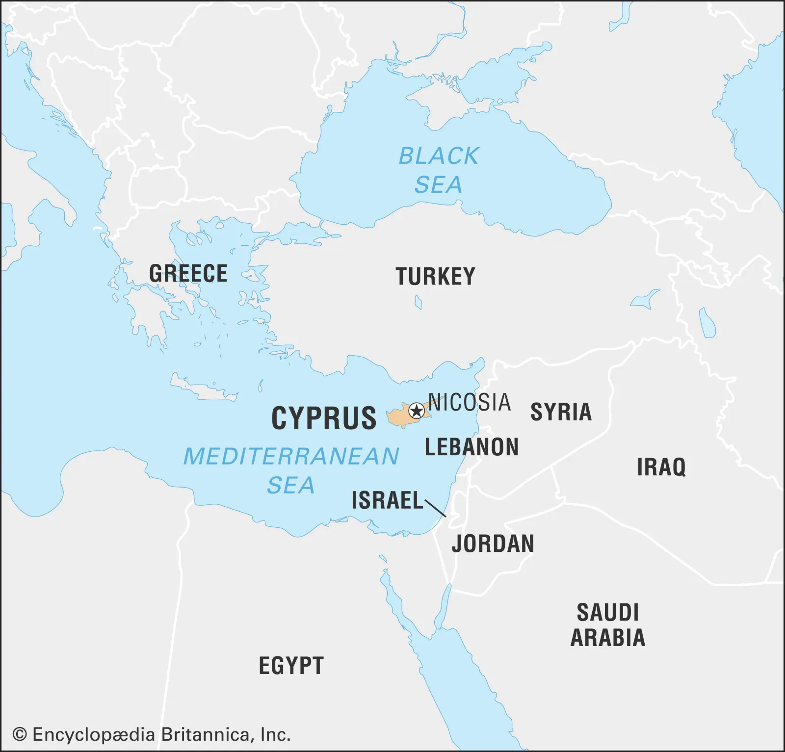
- Country:
- Cyprus
- Description:
- ~9,251 km², Mediterranean.
- Formation:
- Tectonic uplift, volcanic.
- National Parks/Protected Areas
- Wadi Rum Protected Area (Jordan):
-
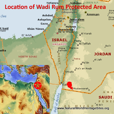
- Description:
- ~720 km², desert landscape.
- Significance:
- UNESCO site, Bedouin culture.
- Socotra Archipelago (Yemen):
-
- Description:
- ~3,829 km², unique ecosystems.
- Significance:
- UNESCO site, endemic species.
- Al-Hasa National Park (Saudi Arabia):
-
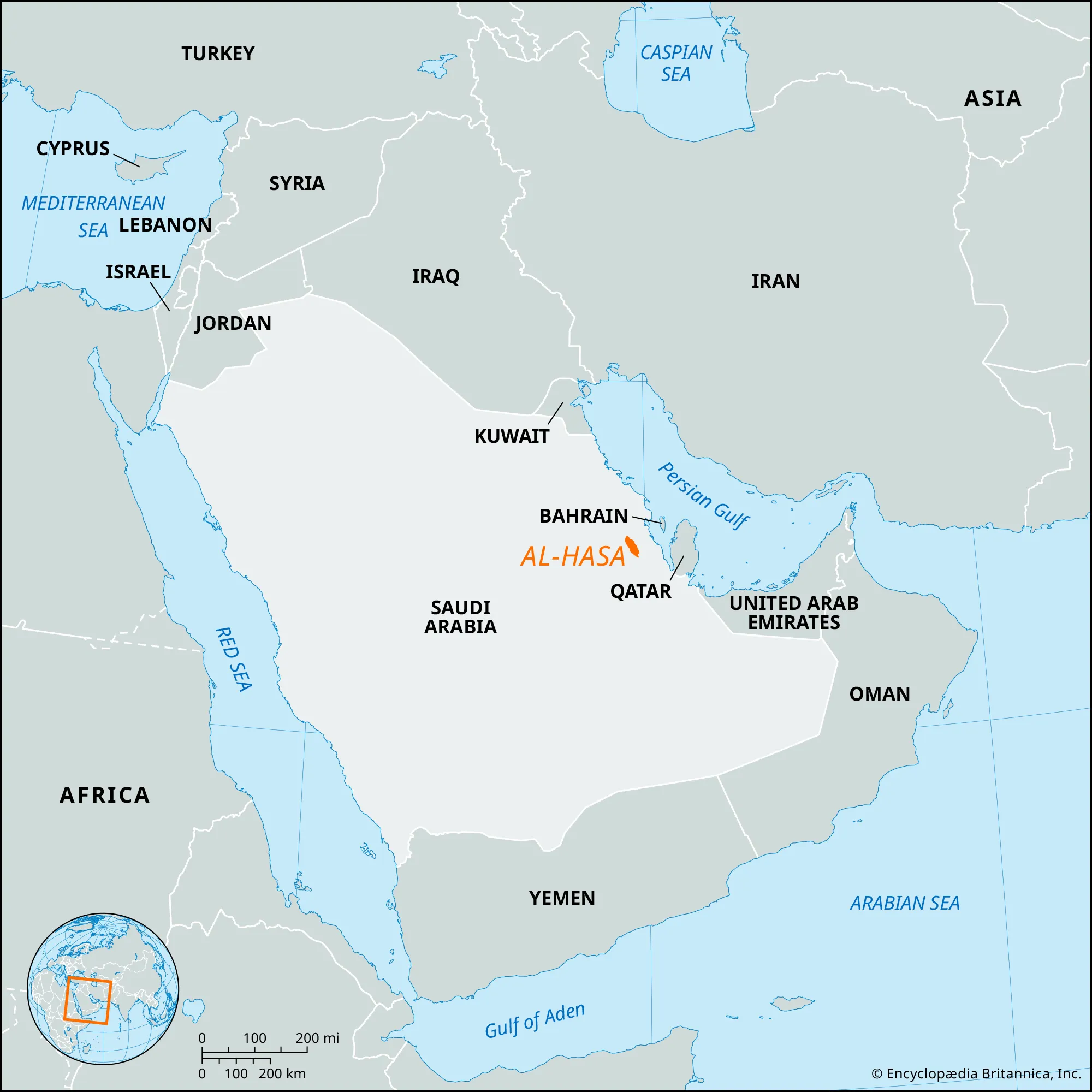
- Description:
- ~1,000 km², oasis system. It is not well known.
- Al-Hasa is famous as an oasis (UNESCO), not a major protected area in geography texts.
- Significance:
- Date palms, groundwater conservation.
- Biodiversity Hotspots
- Irano-Anatolian (Iran, Turkey):
-
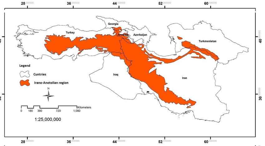
- Description:
- ~900,000 km², montane ecosystems.
- Significance:
- Endemic plants, grazing pressure.
- Mediterranean Basin (Lebanon, Cyprus):
-
- Description:
- ~100,000 km², coastal ecosystems.
- Significance:
- Unique flora, urban sprawl.
- Socotra Archipelago (Yemen):
-
- Description:
- ~3,829 km², island ecosystems.
- Significance:
- Dragon’s blood tree, tourism impact.
- Human Impact
- Desertification (Syrian Desert):
- Overgrazing and climate change expand arid zones.
- Water Scarcity (Jordan River):
- Overuse and damming cause conflicts, ecosystem loss.
- Oil Pollution (Persian Gulf):
- Spills and drilling harm marine life, fisheries.
- Urbanization (UAE, Qatar):
- Coastal reclamation degrades mangroves, coral reefs.
- Arctic Region
-
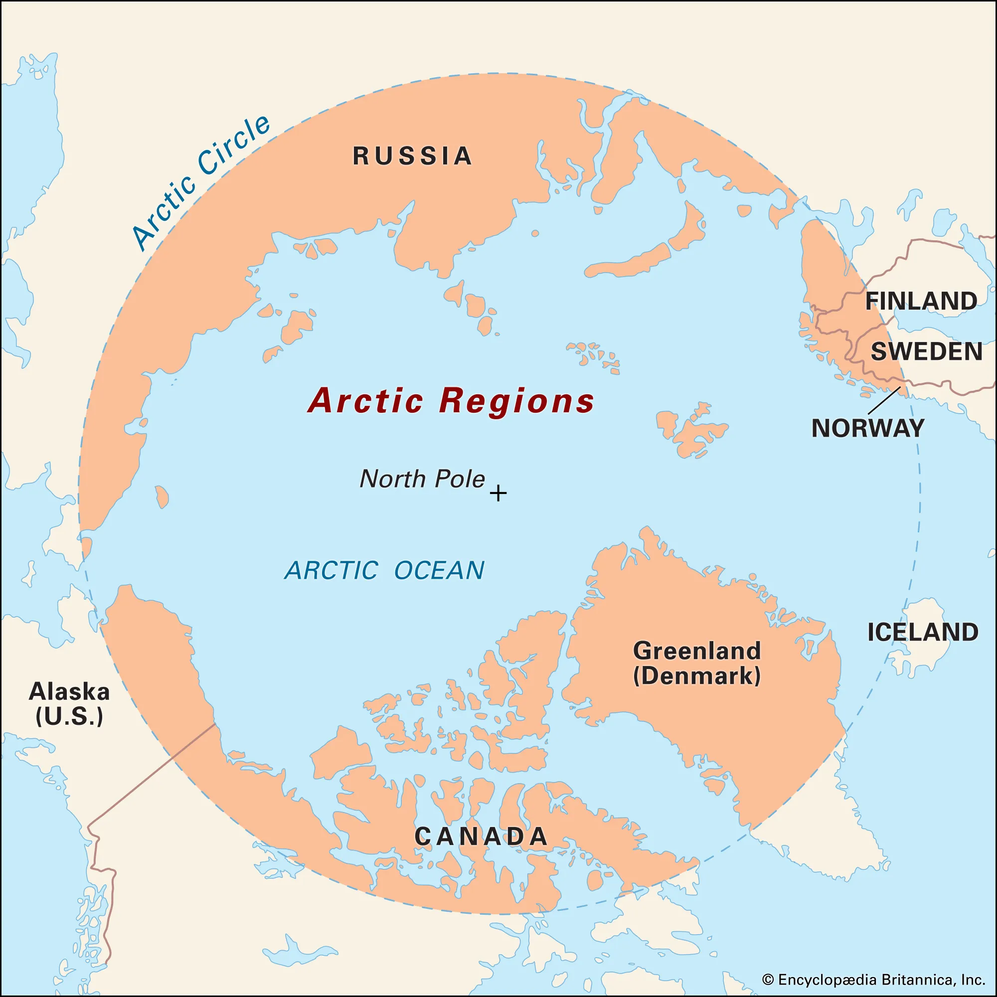
- Overview
- The Arctic Region, spanning ~14 million km² across the Arctic Ocean and surrounding landmasses, has a transient population of ~4 million (2023). It features ice-covered seas, tundra, and permafrost, shaped by glacial cycles, polar climate, and emerging geopolitical interests.
- Countries (0 recognized sovereign states)
- None
- Territories of 8 Arctic Council nations: Canada, Denmark (Greenland), Finland, Iceland, Norway, Russia, Sweden, United States (Alaska). Governed by international agreements like UNCLOS and the Arctic Council.
- Physiographic Divisions
- The Arctic’s landscape is divided into three regions:
1. Arctic Ocean Basin:
-
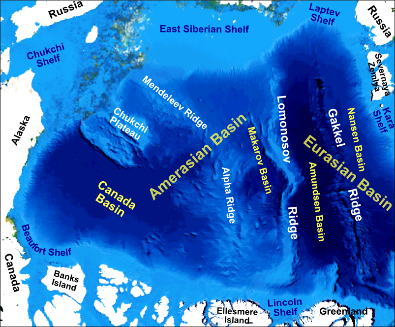
- Description:
- Ice-covered ocean, deep basins.
- Location:
- Central Arctic.
- Climate:
- Polar (EF in Köppen), extreme cold.
- Features:
- Sea ice, underwater ridges.
- Countries:
- None (international waters, claimed by Canada, Russia, Denmark).
2. Arctic Tundra:
-
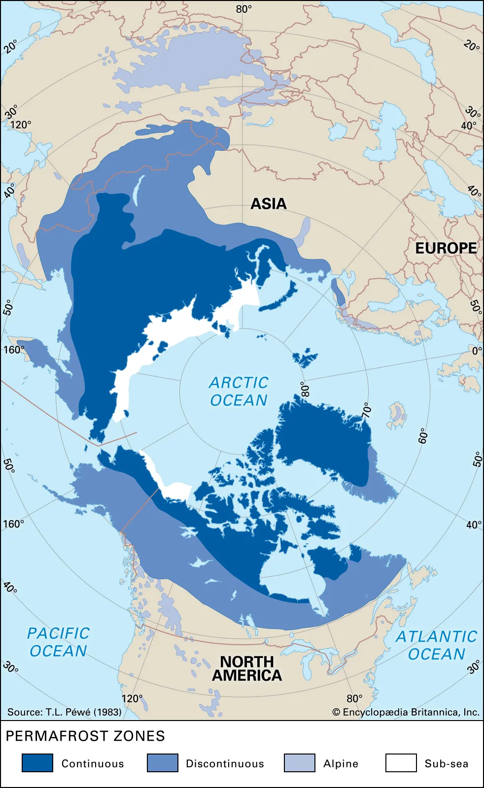
-
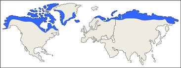
- Description:
- Treeless plains with permafrost.
- Location:
- Coastal Canada, Russia, Greenland.
- Climate:
- Polar tundra (ET).
- Features:
- Wetlands, migratory bird habitats.
- Countries:
- Canada, Russia, Denmark (Greenland).
3. Arctic Shield:
-
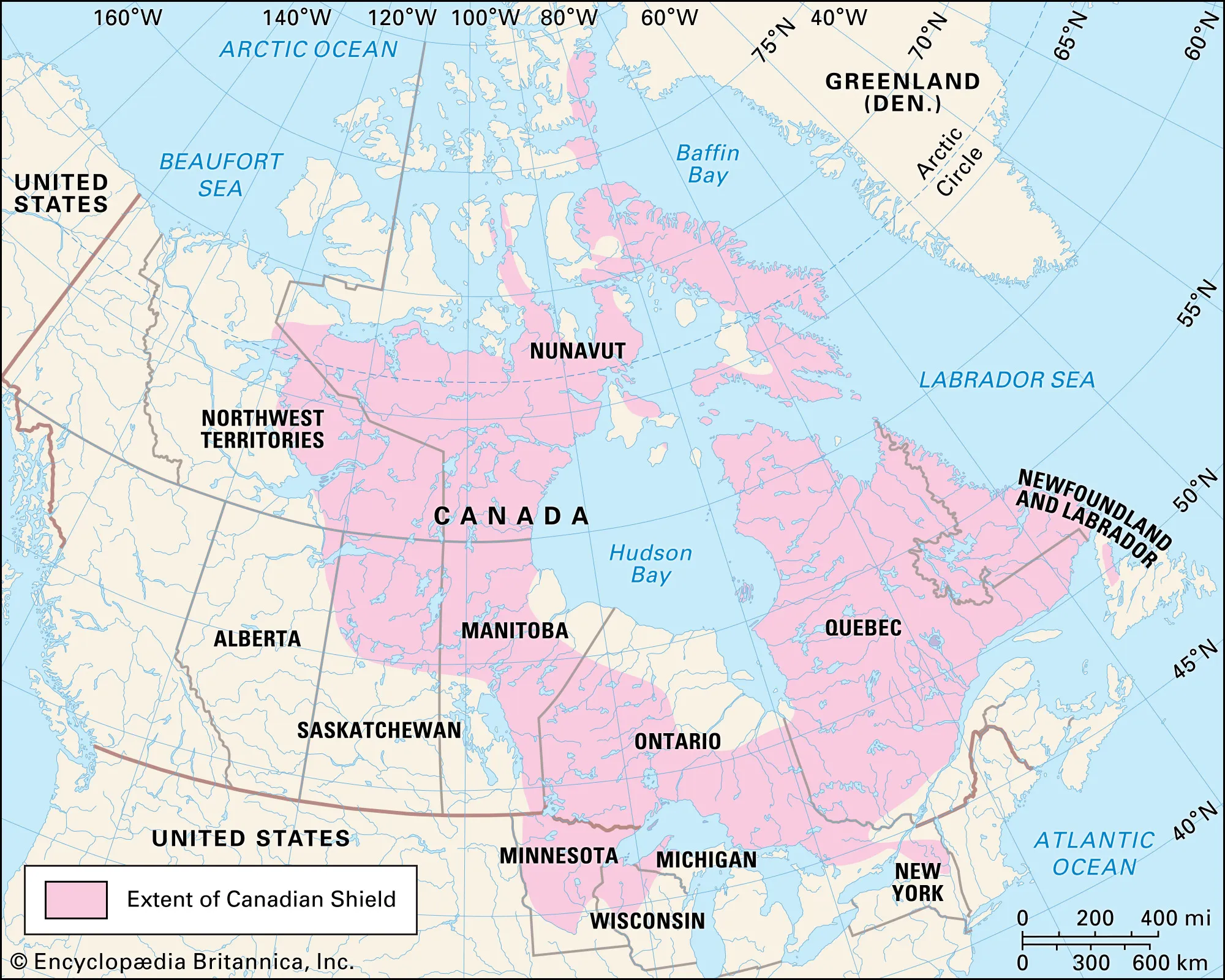
- Description:
- Ancient, glaciated highlands.
- Location:
- Northern Canada, Scandinavia.
- Climate:
- Subarctic to polar.
- Features:
- Fjords, rocky outcrops.
- Countries:
- Canada, Norway, Sweden, Finland.
- Formation:
- Tectonic drift positioned the Arctic at the North Pole; glacial erosion shaped landmasses; sea ice formed due to extreme cold and low salinity.
- Major Physical Features
- Mountain Ranges
- Brooks Range (United States, Canada):
-
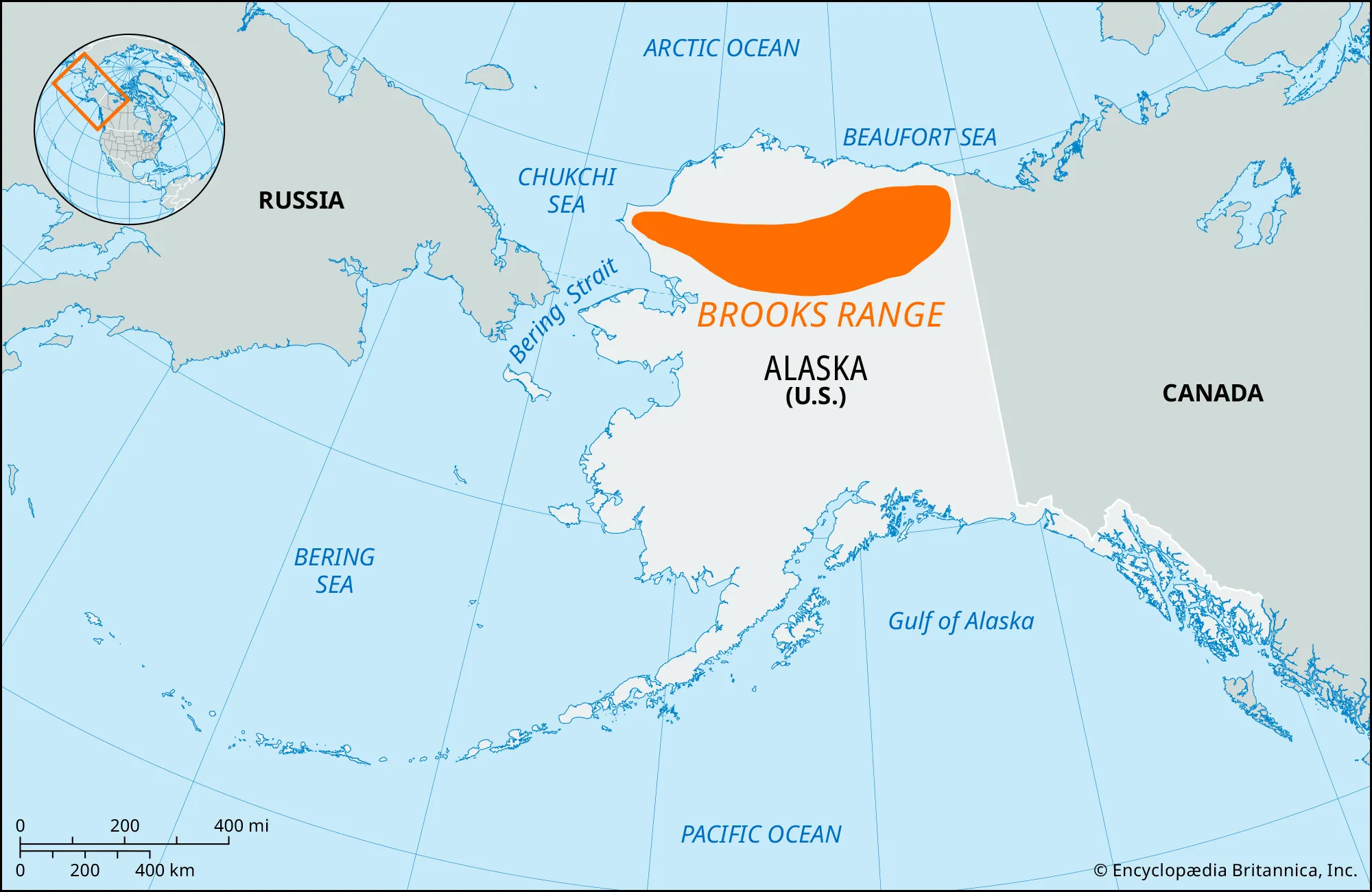
- Description:
- ~1,100 km, peaks at 2,736 m (Mt. Isto).
- Formation:
- Tectonic collision, Mesozoic orogeny.
- Significance:
- Caribou habitat, oil exploration.
- Ural Mountains (Russia):
-
- Description:
- ~2,500 km, peaks at 1,895 m (Mt. Narodnaya).
- Formation:
- Paleozoic orogeny, erosion.
- Significance:
- Mineral resources, Arctic gateway.
- Scandinavian Mountains (Norway, Sweden):
-
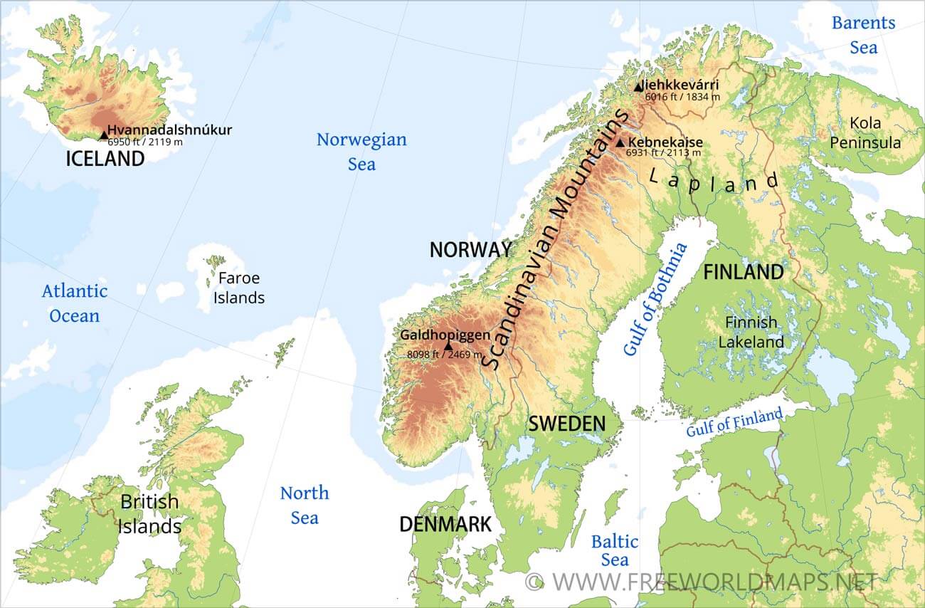
- Description:
- ~1,700 km, peaks at 2,469 m (Galdhøpiggen).
- Formation:
- Caledonian orogeny, glacial erosion.
- Significance:
- Fjords, tourism.
- Plateaus
- Canadian Shield (Canada):
-
- Description:
- ~2 million km², ~500 m elevation.
- Formation:
- Ancient craton, glacial scouring.
- Significance:
- Minerals, indigenous lands.
- Siberian Traps (Russia):
-
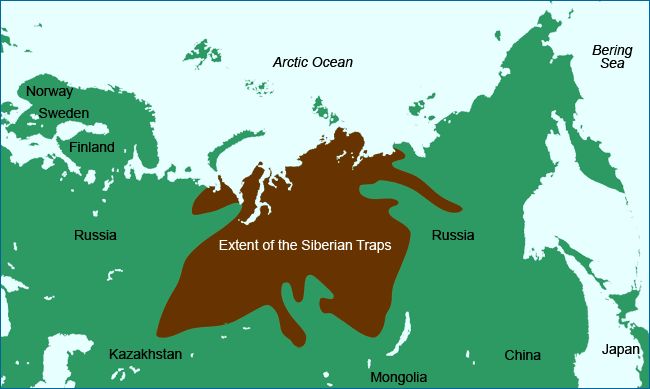
- Description:
- ~2 million km², basalt plateau.
- Formation:
- Massive volcanic eruptions, 250 million years ago.
- Significance:
- Permafrost, methane release risk.
- Greenland Ice Sheet (Denmark):
-
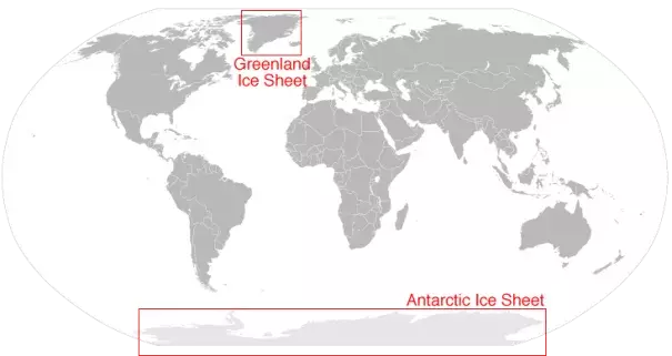
- Description:
- ~1.7 million km², ice-covered plateau.
- Formation:
- Glacial accumulation.
- Significance:
- Climate records, sea-level rise.
- Plains
- North Siberian Lowland (Russia):
-
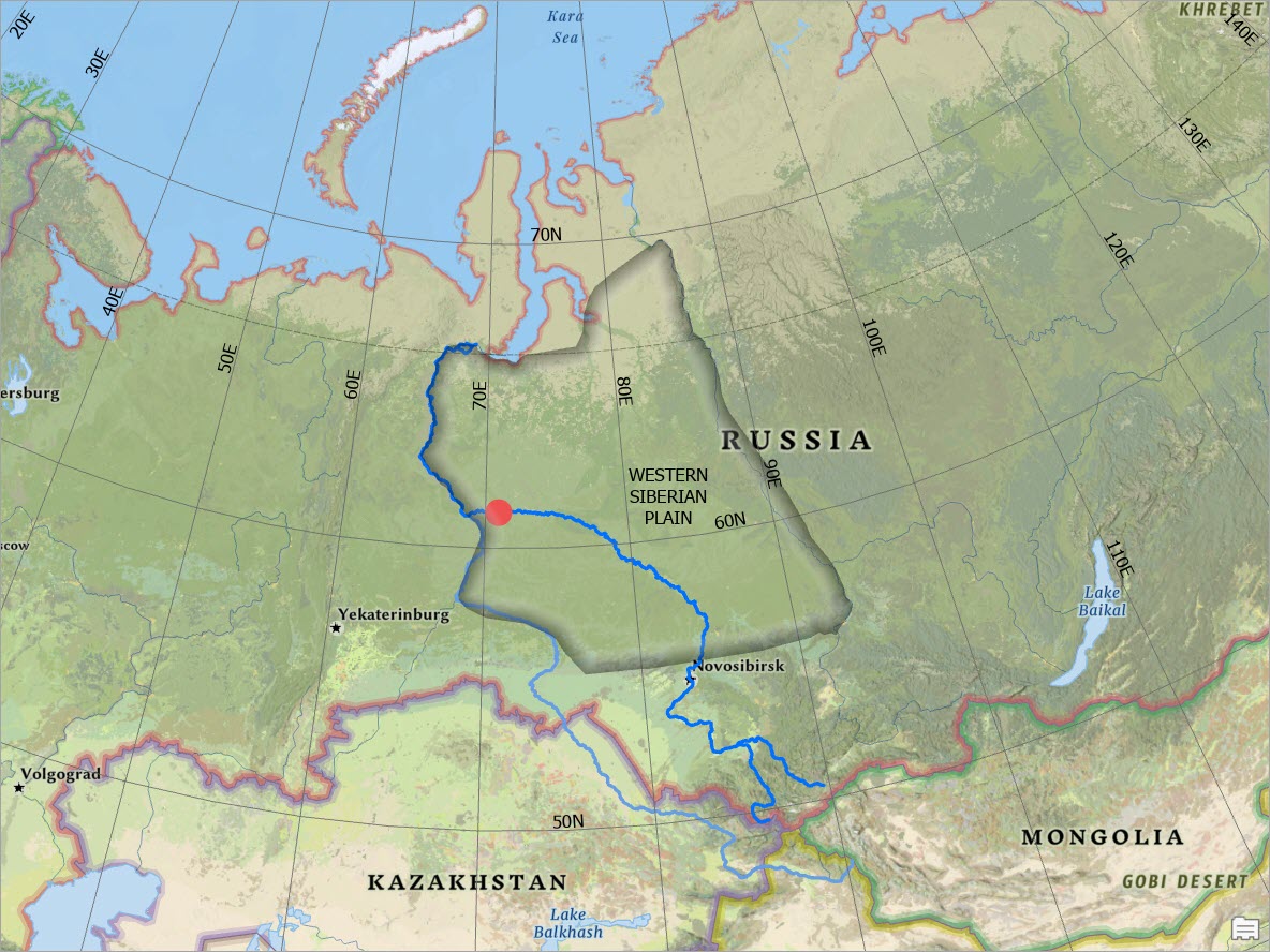
- Description:
- ~1.3 million km², tundra plain.
- Formation:
- Glacial and fluvial deposition.
- Significance:
- Wetlands, gas fields.
- Mackenzie Delta (Canada):
-
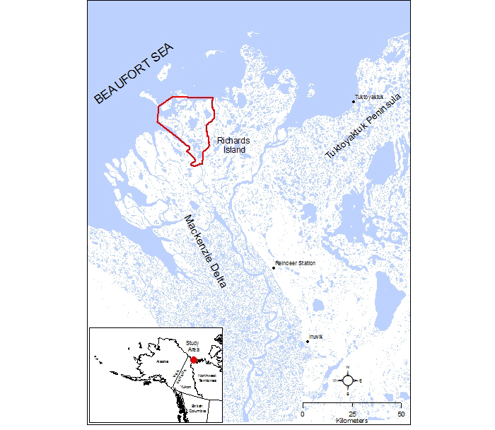
- Description:
- ~13,000 km², Arctic floodplain.
- Formation:
- Mackenzie River sedimentation.
- Significance:
- Migratory birds, oil exploration.
- Kangerlussuaq Plain (Greenland):
-
- Description:
- ~5,000 km², ice-free tundra.
- Formation:
- Glacial retreat, erosion.
- Significance:
- Musk oxen, research sites.
- Deserts
- Arctic Polar Desert (Region-wide):
-
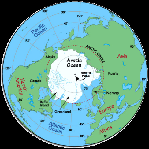
- Description:
- ~5 million km², cold desert.
- Formation:
- Extreme aridity, low precipitation (<250 mm/year).
- Significance:
- Microbial life, climate studies.
- Forests
- No significant forests due to polar climate; limited boreal forests exist in subarctic margins.
- Taiga Fringe (Russia, Canada, Scandinavia):
-
- Description:
- ~500,000 km², sparse coniferous.
- Formation:
- Subarctic climate, permafrost soils.
- Significance:
- Reindeer habitat, carbon sink.
- Major Water Bodies
- Rivers
- Lena River (Russia):
-
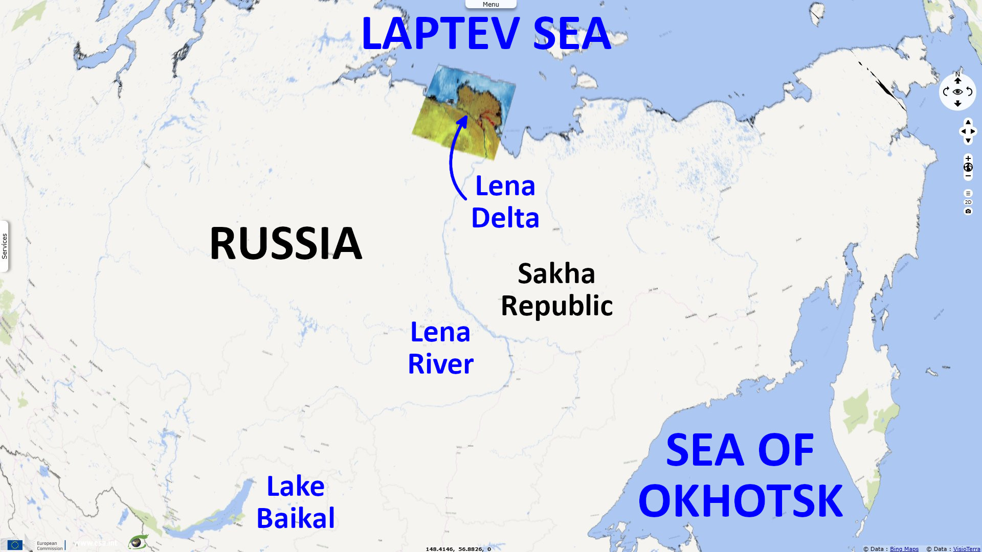
- Description:
- ~4,400 km, Arctic drainage.
- Formation:
- Siberian Plateau runoff, permafrost channels.
- Significance:
- Fisheries, transport.
- Mackenzie River (Canada):
-
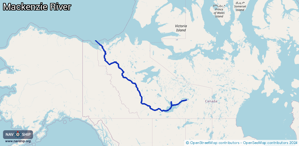
- Description:
- ~4,241 km, longest in Canada.
- That is the Mackenzie–Slave–Peace system, not Mackenzie alone.
- Mackenzie alone ≈ 1,738 km.
- Formation:
- Rocky Mountains runoff, glacial valleys.
- Significance:
- Oil exploration, indigenous use.
- Ob River (Russia):
-
- Description:
- ~3,650 km, Arctic flow.
- Formation:
- Fluvial + siberian lowland drainage + sedimentary basin.
- Significance:
- Gas fields, shipping.
- Lakes
- Great Bear Lake (Canada):
-
- Description:
- ~31,153 km², largest in Arctic Canada.
- Formation:
- Glacial scouring.
- Significance:
- Fisheries, uranium mining.
- Lake Taymyr (Russia):
-
- Description:
- ~4,560 km², permafrost-bound.
- Formation:
- Glacial depression, permafrost.
- Significance:
- Migratory birds, remote research.
- Nettilling Lake (Canada):
-
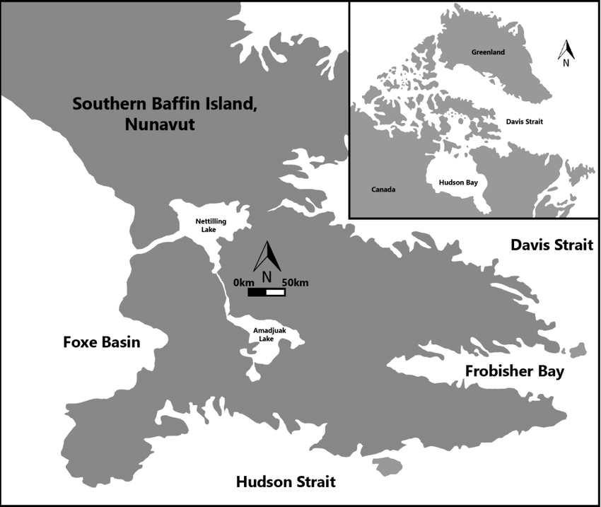
- Description:
- ~5,542 km², Baffin Island.
- Formation:
- Glacial erosion, bedrock depression.
- Significance:
- Caribou habitat, freshwater.
- Basins
- Arctic Ocean Basin (Central Arctic):
-
- Description:
- ~4.5 million km², deep ocean.
- Formation:
- Tectonic spreading, seafloor subsidence.
- Significance:
- Sea ice, oil and gas potential.
- Canada Basin (Canada, United States):
-
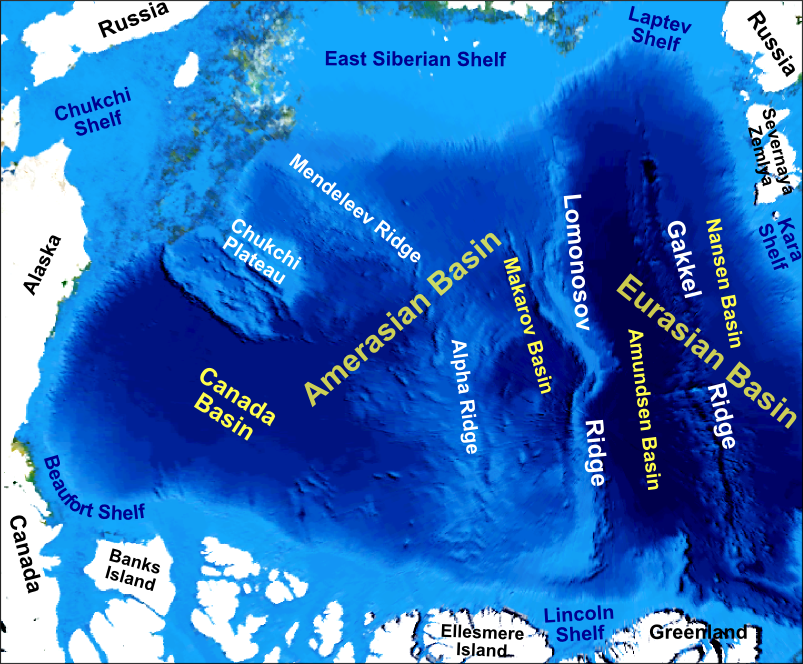
- Description:
- ~1.2 million km², underwater.
- Formation:
- Tectonic rifting, sedimentation.
- Significance:
- Geopolitical claims, resources.
- West Siberian Basin (Russia):
-
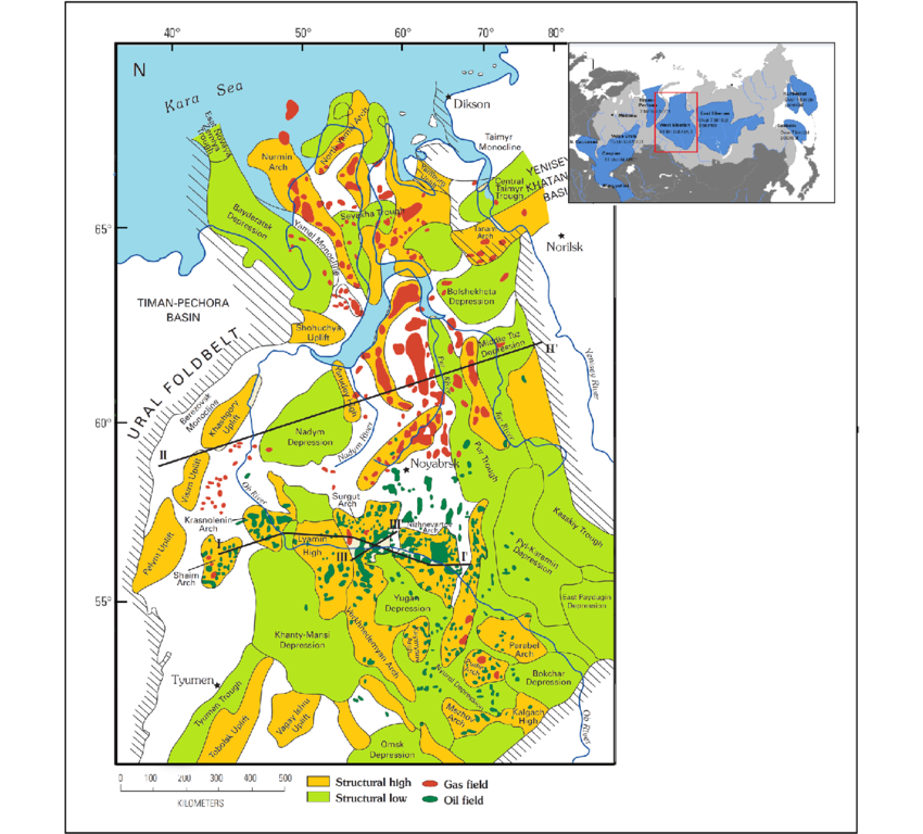
-
- Description:
- ~3.2 million km², permafrost plain.
- Formation:
- Sedimentary deposition, tectonic.
- Significance:
- Gas reserves, methane emissions.
- Gulfs
- Gulf of Ob (Russia):
-
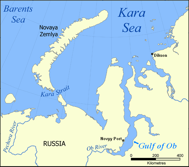
- Description:
- ~40,000 km², Arctic estuary.
- Formation:
- Ob River sedimentation, glacial erosion.
- Significance:
- Gas fields, shipping.
- Baffin Bay (Canada, Greenland):
-
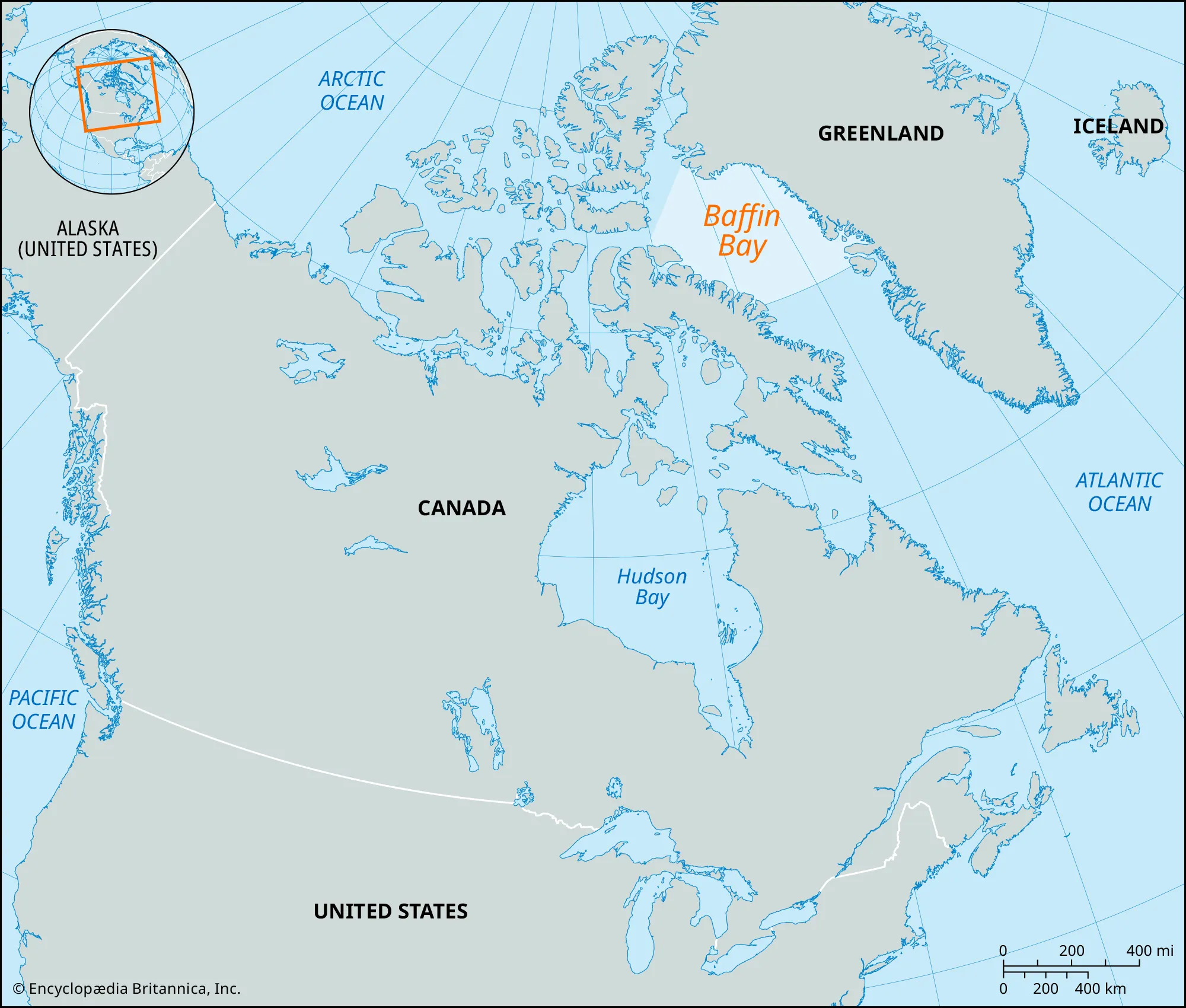
- Description:
- ~689,000 km², ice-covered.
- Formation:
- Drowned continental margin, glacial shaping, seafloor spreading is geologically ancient
- Significance:
- Narwhals, maritime route.
- Gulf of Boothia (Canada):
-
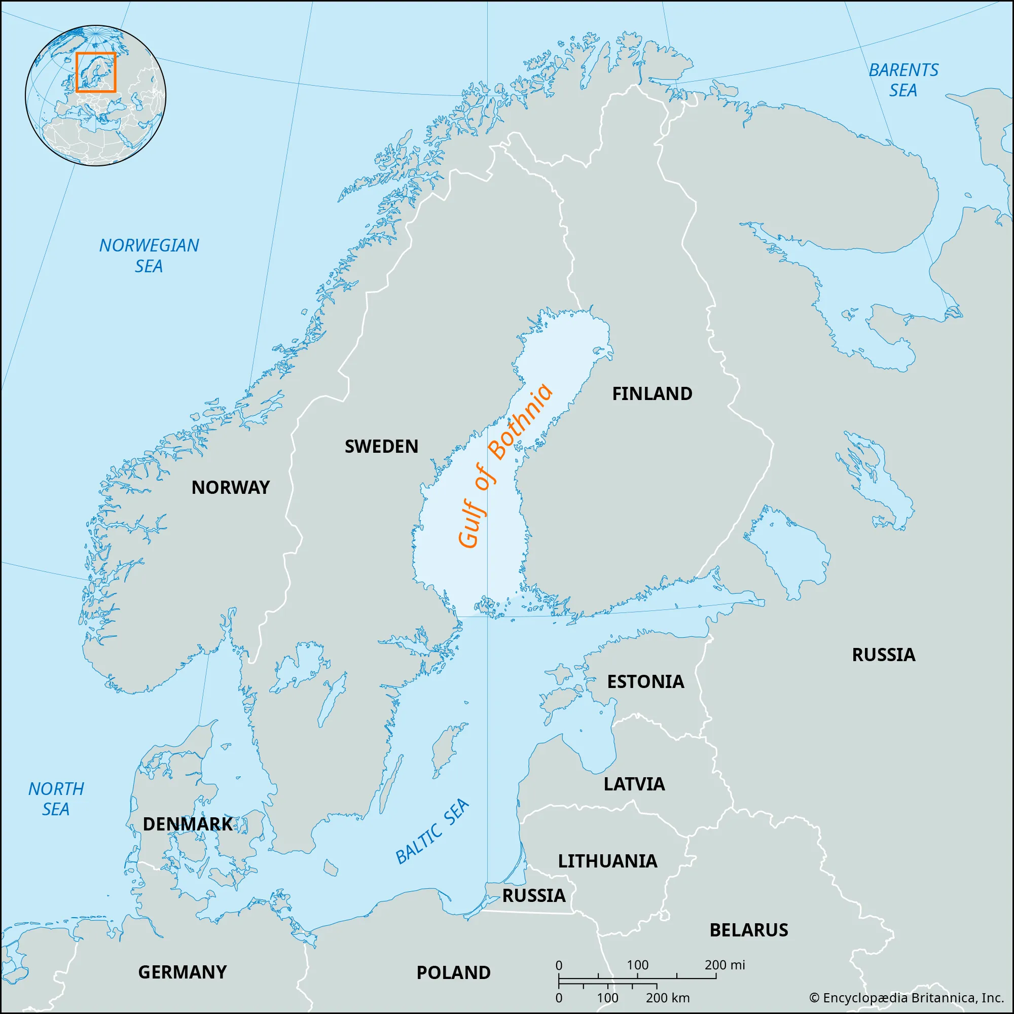
- Description:
- ~30,000 km², Arctic archipelago.
- Formation:
- Glacial erosion.
- Significance:
- Polar bear habitat, exploration.
- Islands
- Greenland
-
- Country:
- Denmark
- Description:
- ~2.16 million km², ice-covered.
- Formation:
- Tectonic uplift, glacial shaping.
- Baffin Island
-
- Country:
- Canada
- Description:
- ~507,451 km², rugged Arctic.
- Formation:
- Glacial erosion, tectonic.
- Svalbard
-
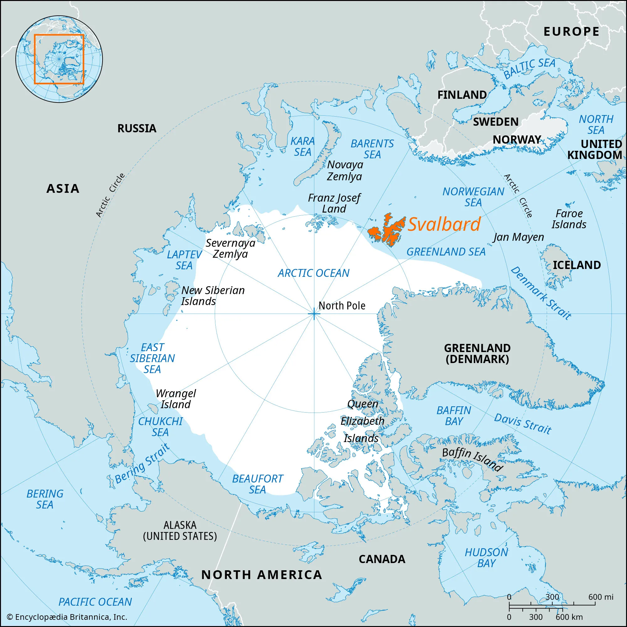
- Country:
- Norway
- Description:
- ~61,022 km², polar archipelago.
- Formation:
- Tectonic uplift, glacial carving.
- Novaya Zemlya
-
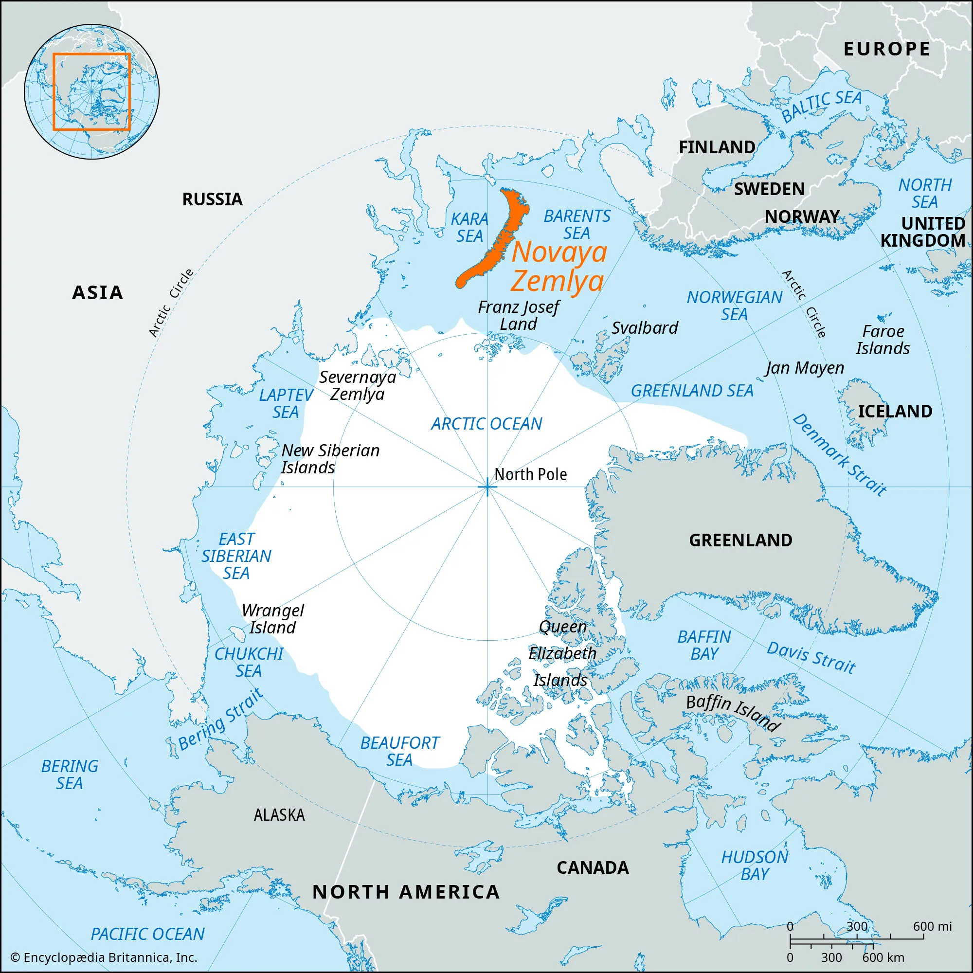
- Country:
- Russia
- Description:
- ~81,279 km², ice and tundra.
- Formation:
- Tectonic folding, glacial.
- Ellesmere Island
-

- Country:
- Canada
- Description:
- ~196,236 km², Arctic wilderness.
- Formation:
- Tectonic uplift, glacial erosion.
- National Parks/Protected Areas
- Quttinirpaaq National Park (Canada):
-
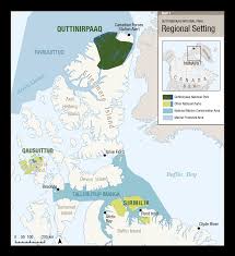
- Description:
- ~37,775 km², Ellesmere Island.
- Significance:
- Arctic wolves, polar desert.
- Northeast Greenland National Park (Greenland):
-
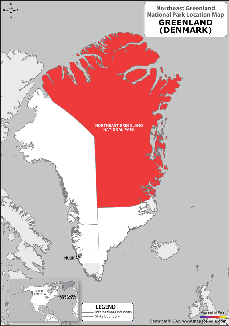
- Description:
- ~972,000 km², largest national park.
- Significance:
- Musk oxen, climate research.
- Svalbard Protected Areas (Norway):
-
- Description:
- ~39,000 km², polar ecosystems.
- Significance:
- Polar bears, seabird colonies.
- Biodiversity Hotspots
- No globally recognized hotspots due to low biodiversity; unique ecosystems exist.
- Arctic Tundra (Canada, Russia):
-
-
- Description:
- ~5 million km², tundra ecosystems.
- Significance:
- Migratory birds, warming threat.
- Barents Sea (Norway, Russia):
-
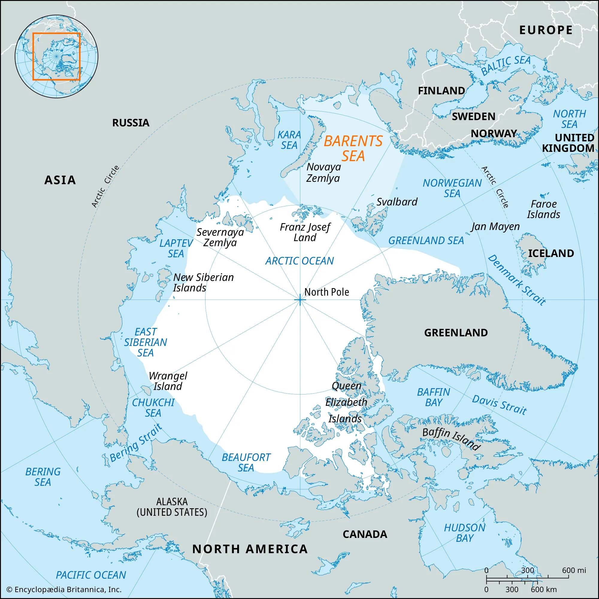
-
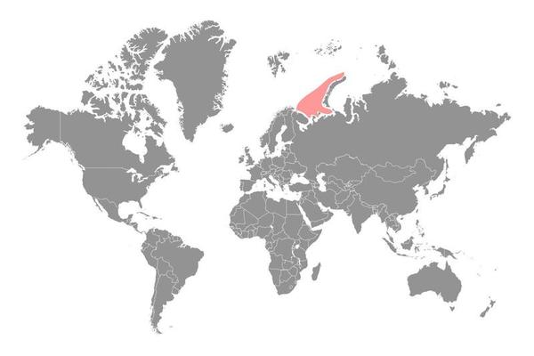
- Description:
- ~1.4 million km², marine ecosystems.
- Significance:
- Cod fisheries, oil exploration risk.
- Human Impact
- Ice Melt (Arctic Ocean):
- Climate change reduces sea ice, raising sea levels and opening shipping routes.
- Oil and Gas Exploration (Canada Basin):
- Drilling threatens marine ecosystems, indigenous lands.
- Permafrost Thaw (Siberia):
- Methane release accelerates global warming.
- Overfishing (Barents Sea):
- Unsustainable fishing depletes stocks, impacts food webs.
- Central Asia
-
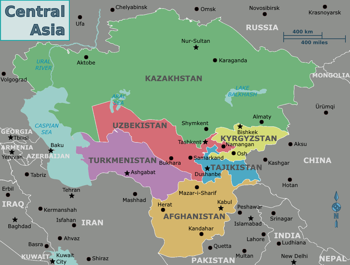
- Overview
- Central Asia, a sub-region of Asia, spans ~4 million km², with a population of ~75 million (2023). It features vast steppes, deserts, and towering mountains, shaped by tectonic activity, continental aridity, and historical Silk Road trade routes.
- Countries (5 recognized sovereign states)
- Kazakhstan
- Capital: Astana
- Kyrgyzstan
- Capital: Bishkek
- Tajikistan
- Capital: Dushanbe
- Turkmenistan
- Capital: Ashgabat
- Uzbekistan
- Capital: Tashkent
- Physiographic Divisions
- Central Asia’s landscape is divided into three regions:
1. Turan Lowland:
-
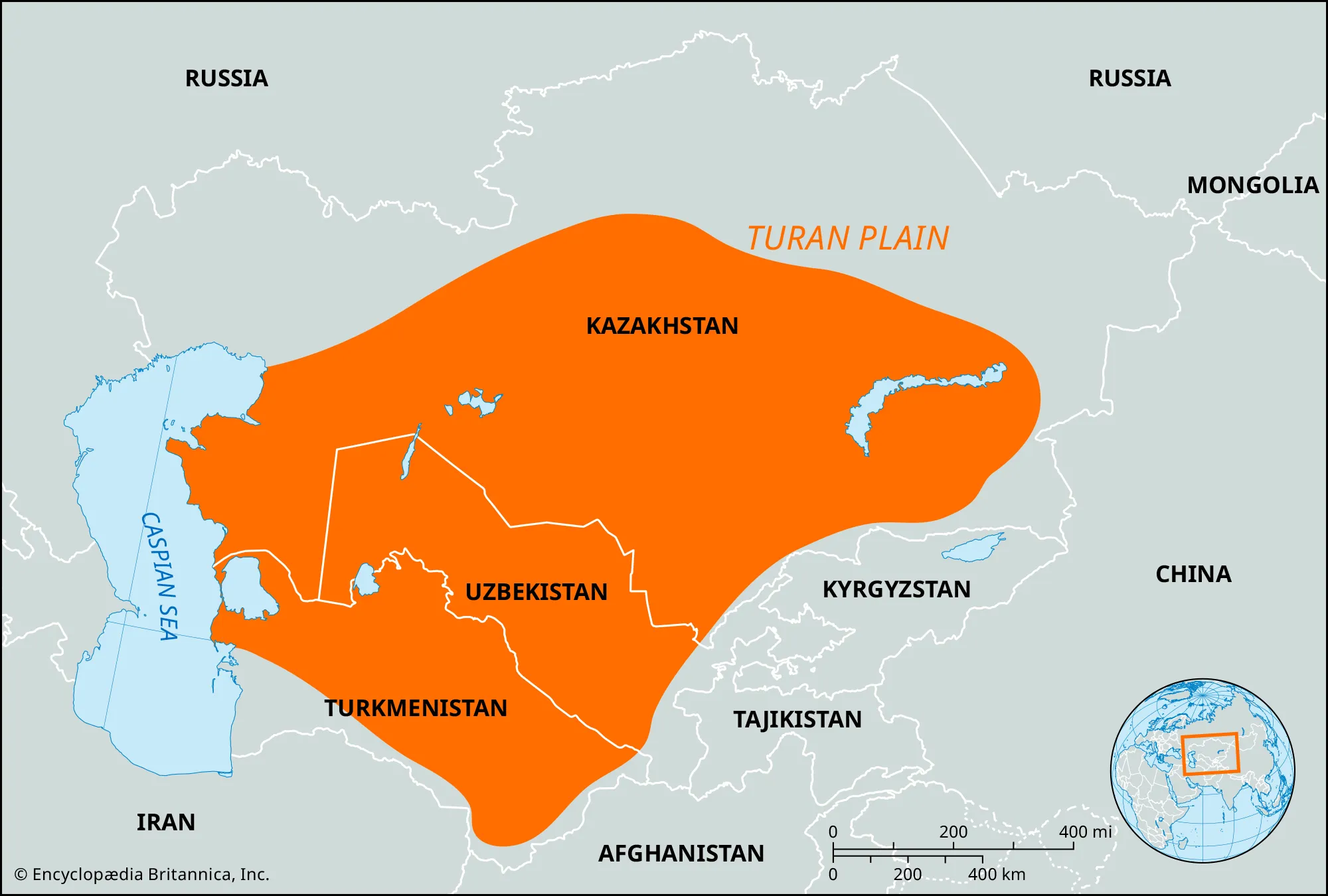
- Description:
- Vast steppe and desert plains.
- Location:
- Western Central Asia.
- Climate:
- Arid to semi-arid (BWk, BSk).
- Features:
- Sand dunes, salt flats.
- Countries:
- Kazakhstan, Turkmenistan, Uzbekistan.
2. Tian Shan-Pamir-Alai Mountains:
-
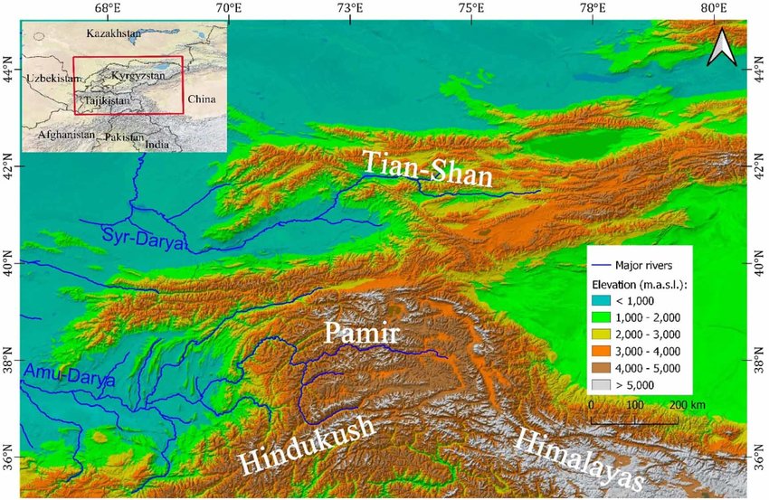
- Description:
- High, rugged mountain ranges.
- Location:
- Eastern Central Asia.
- Climate:
- Continental, alpine.
- Features:
- Glaciers, high peaks.
- Countries:
- Kyrgyzstan, Tajikistan, Uzbekistan.
3. Kazakh Uplands:
-
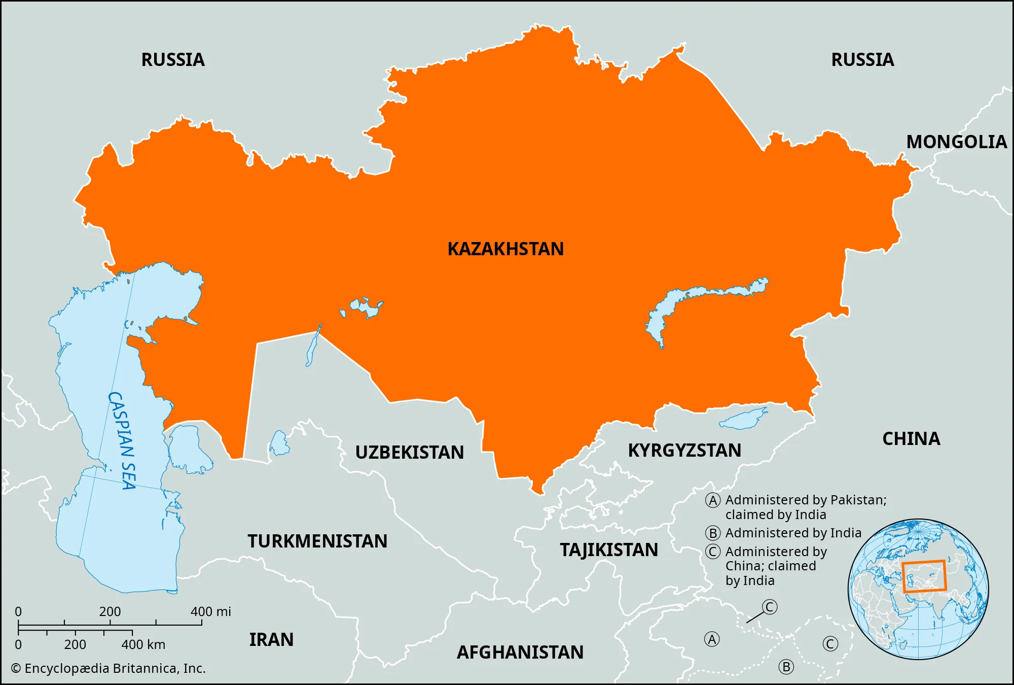
- Description:
- Rolling hills and plateaus.
- Location:
- Northern Central Asia.
- Climate:
- Continental, cold winters.
- Features:
- Grasslands, mineral deposits.
- Countries:
- Kazakhstan.
- Formation:
- Tectonic collisions (India-Eurasia plates) formed mountain ranges; erosion and aridity shaped deserts and steppes; ancient river systems created fertile basins.
- Major Physical Features
- Mountain Ranges
- Tian Shan (Kyrgyzstan, Kazakhstan, Uzbekistan):
-
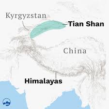
- Description:
- ~2,500 km, peaks at 7,439 m (Jengish Chokusu).
- Formation:
- India-Eurasia plate collision, Cenozoic.
- Significance:
- Glaciers, hydropower.
- Pamir Mountains (Tajikistan):
-
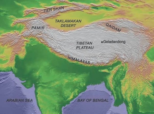
- Description:
- ~1,200 km, peaks at 7,495 m (Ismoil Somoni).
- Formation:
- Tectonic uplift, Himalayan orogeny.
- Significance:
- Roof of the World, biodiversity.
- Alai Mountains (Kyrgyzstan, Tajikistan):
-
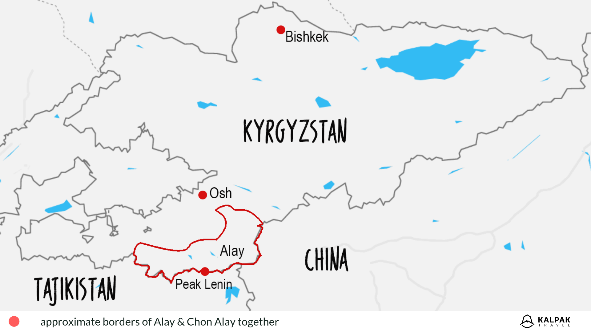
- Description:
- ~400 km, peaks at 5,544 m (Lenin Peak).
- Formation:
- Tectonic folding, erosion.
- Significance:
- Pastoralism, mountaineering.
- Plateaus
- Ustyurt Plateau (Kazakhstan, Uzbekistan):
-
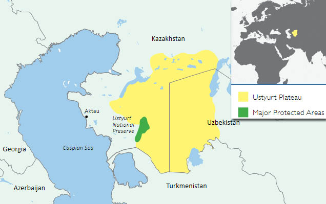
- Description:
- ~200,000 km², ~300 m elevation.
- Formation:
- Sedimentary uplift, erosion.
- Significance:
- Gas fields, nomadic routes.
- Alai Plateau (Kyrgyzstan, Tajikistan):
-
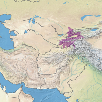
- Description:
- ~10,000 km², ~3,000 m.
- Formation:
- Tectonic uplift, glacial erosion.
- Significance:
- Yak herding, high-altitude lakes.
- Kazakh Steppe (Kazakhstan):
-
- Description:
- ~800,000 km², low plateau.
- Formation:
- Ancient craton, glacial deposits.
- Significance:
- Wheat farming, pastoralism.
- Plains
- Kyzylkum Desert Plain (Uzbekistan, Kazakhstan):
-
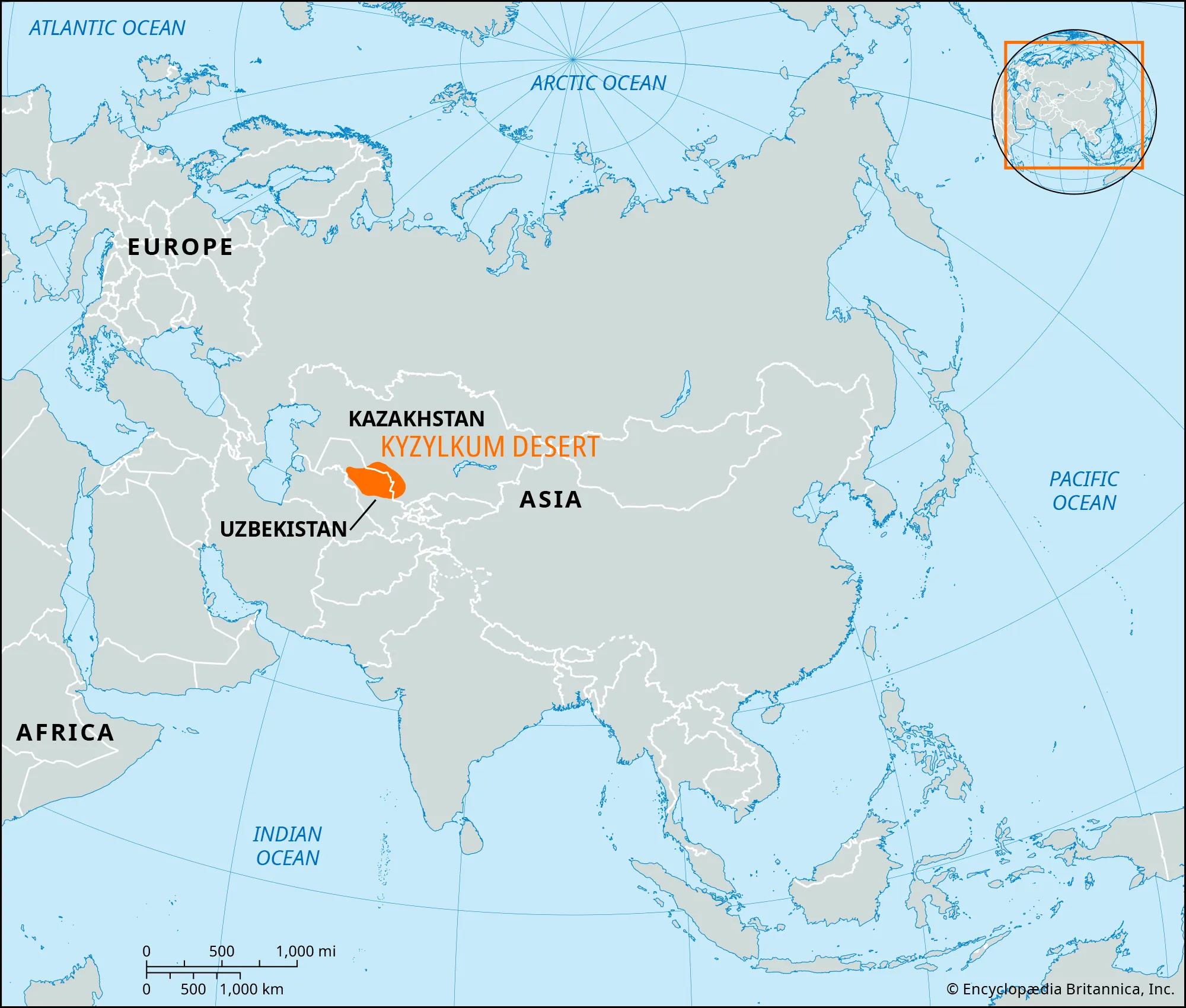
- Description:
- ~298,000 km², arid plain.
- Formation:
- Alluvial deposition, aridity.
- Significance:
- Gold mining, nomadic heritage.
- Karakum Desert Plain (Turkmenistan):
-
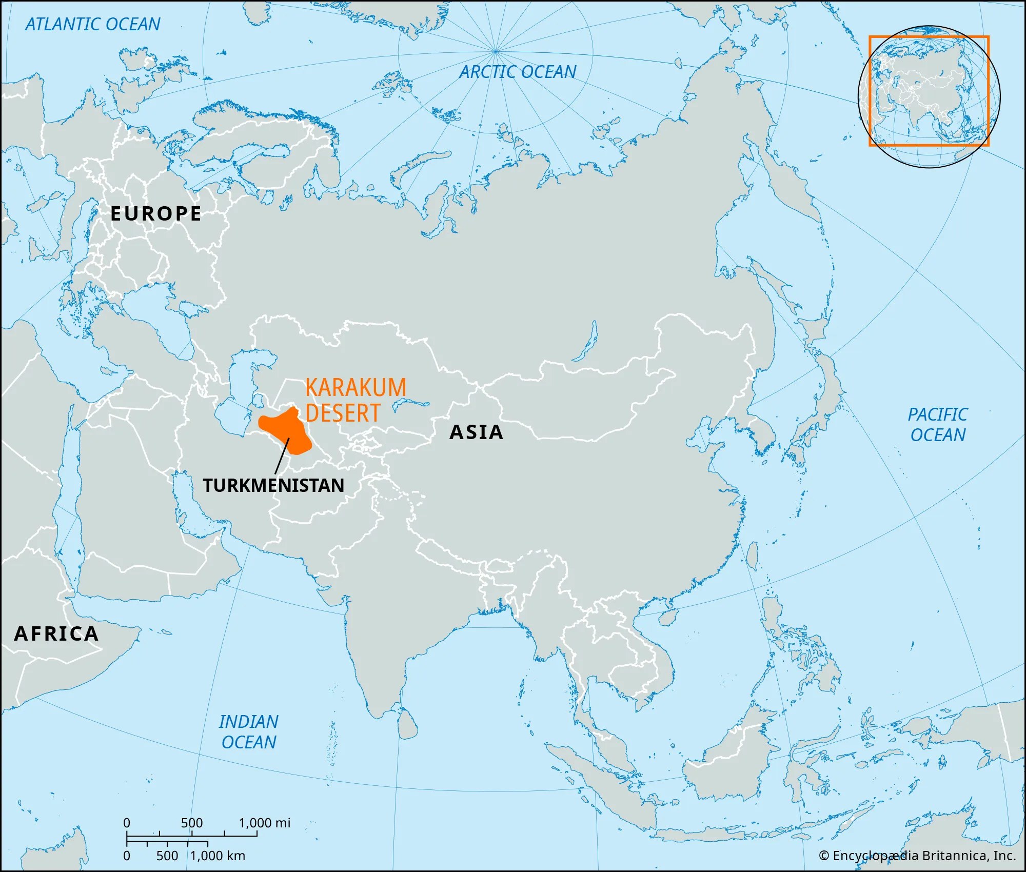
- Description:
- ~350,000 km², sandy plain.
- Formation:
- Sedimentary deposition, wind erosion.
- Significance:
- Gas reserves, Darvaza crater.
- Amu Darya Delta (Uzbekistan, Turkmenistan):
-
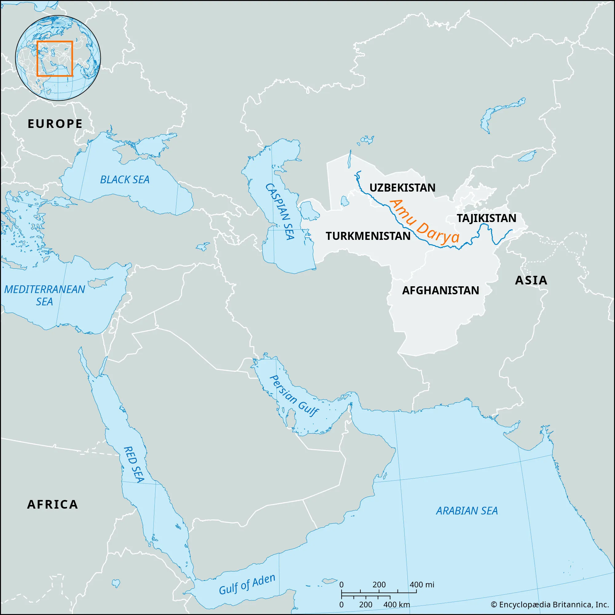
- Description:
- ~30,000 km², fertile floodplain.
- Formation:
- Amu Darya sedimentation.
- Significance:
- Cotton farming, irrigation.
- Deserts
- Karakum Desert (Turkmenistan):
-
- Description:
- ~350,000 km², black sand desert.
- Formation:
- Continental aridity, wind erosion.
- Significance:
- Gas fields, nomadic culture.
- Kyzylkum Desert (Uzbekistan, Kazakhstan):
-
- Description:
- ~298,000 km², red sand desert.
- Formation:
- Arid climate, tectonic stability.
- Significance:
- Uranium, gold mining.
- Betpak-Dala Desert (Kazakhstan):
-
- Description:
- ~75,000 km², steppe desert.
- Formation:
- Low rainfall, erosion.
- Significance:
- Saiga antelope, pastoralism.
- Forests
- Tian Shan Spruce Forests (Kyrgyzstan, Kazakhstan):
-
- Description:
- ~10,000 km², montane coniferous.
- Formation:
- High elevation, moist winds.
- Significance:
- Snow leopards, conservation.
- Tugai Riparian Forests (Uzbekistan, Turkmenistan):
-
- Description:
- ~5,000 km², riverine forests.
- Formation:
- Amu Darya moisture, alluvial soils.
- Significance:
- Bukhara deer, irrigation impact.
- Juniper Forests (Tajikistan):
- Description:
- ~2,000 km², high-altitude.
- Formation:
- Alpine climate, rocky soils.
- Significance:
- Erosion control, pastoralism.
- Major Water Bodies
- Rivers
- Amu Darya (Uzbekistan, Turkmenistan, Tajikistan):
-
- Description:
- ~2,540 km, Central Asia’s longest.
- Formation:
- Fluvial + pamir Mountains runoff.
- Significance:
- Cotton irrigation, Aral Sea source.
- Syr Darya (Kazakhstan, Uzbekistan, Kyrgyzstan):
-
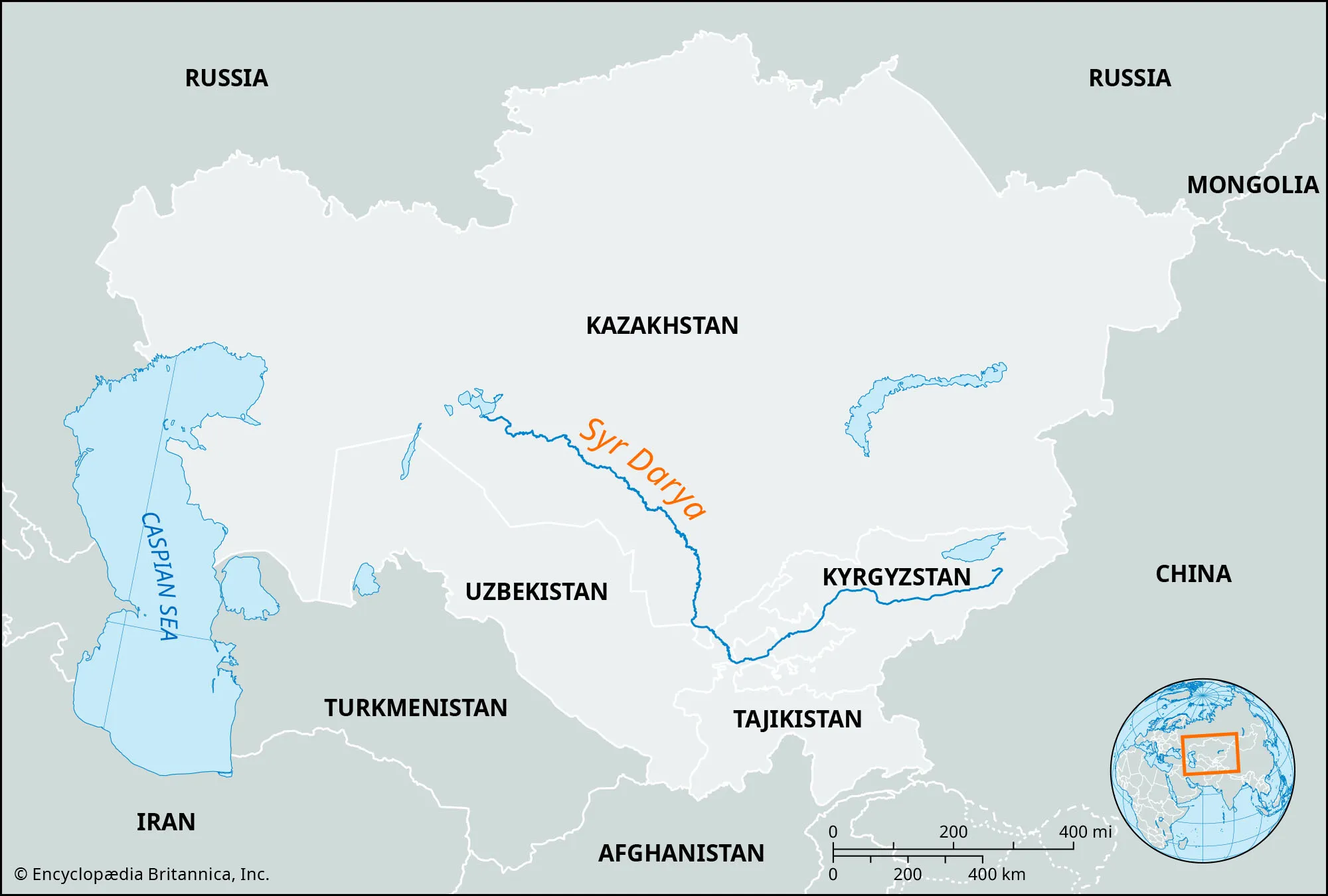
- Description:
- ~2,212 km, major waterway.
- Formation:
- Tian Shan runoff, alluvial deposition.
- Significance:
- Agriculture, hydropower.
- Irtysh River (Kazakhstan):
-
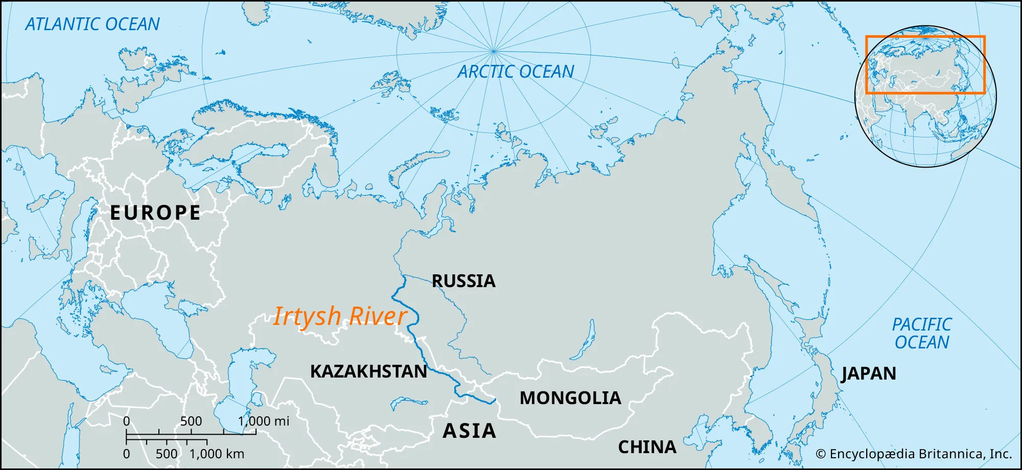
- Description:
- ~4,248 km, Ob River tributary.
- Formation:
- Altai Mountains runoff, glacial.
- Significance:
- Fisheries, transport.
- Lakes
- Aral Sea (Kazakhstan, Uzbekistan):
-
- Description:
- ~17,160 km² (shrinking), saline.
- Formation:
- Endorheic basin, climatic + hydrological
- Significance:
- Ecological disaster, fishing loss.
- Lake Balkhash (Kazakhstan):
-
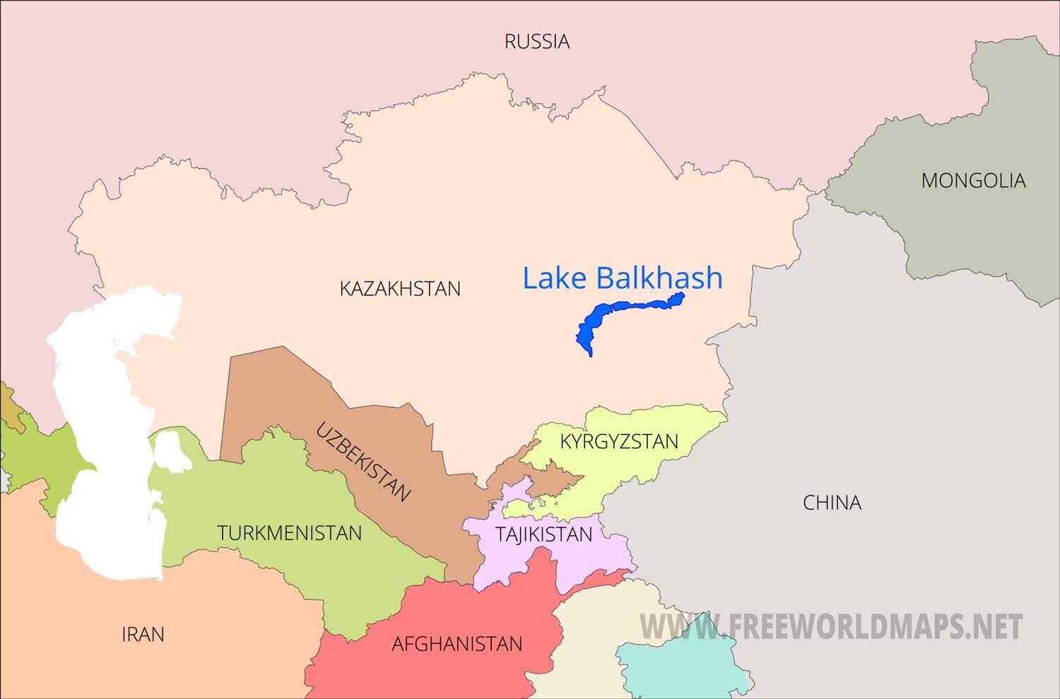
- Description:
- ~16,400 km², freshwater-saline.
- Formation:
- Fluvial + structural basin + sedimentary
- Significance:
- Fisheries, irrigation.
- Issyk-Kul (Kyrgyzstan):
-
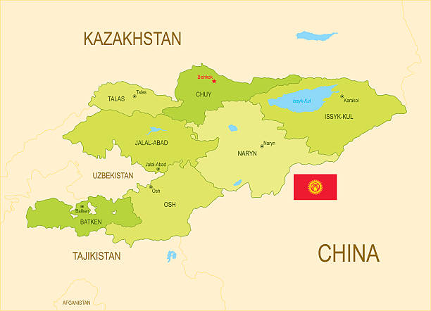
- Description:
- ~6,236 km², high-altitude lake.
- Formation:
- Tectonic depression, glacial.
- Significance:
- Tourism, biodiversity.
- Basins
- Amu Darya Basin (Uzbekistan, Turkmenistan, Tajikistan):
-
- Description:
- ~534,000 km², fertile.
- Formation:
- Alluvial deposition, tectonic.
- Significance:
- Cotton, water disputes.
- Syr Darya Basin (Kazakhstan, Uzbekistan, Kyrgyzstan):
-
- Description:
- ~400,000 km², agricultural.
- Formation:
- Sedimentary deposition, tectonic.
- Significance:
- Irrigation, hydropower.
- Tarim Basin (China):
-
- Description:
- ~400,000 km², arid.
- Formation:
- Tectonic depression, evaporation.
- Significance:
- Oil fields, desertification.
- Gulfs
- No significant gulfs due to landlocked geography.
- Islands
- No significant islands due to landlocked geography; minor river islands exist.
- Vozrozhdeniya Island (Aral Sea, Uzbekistan, Kazakhstan):
-
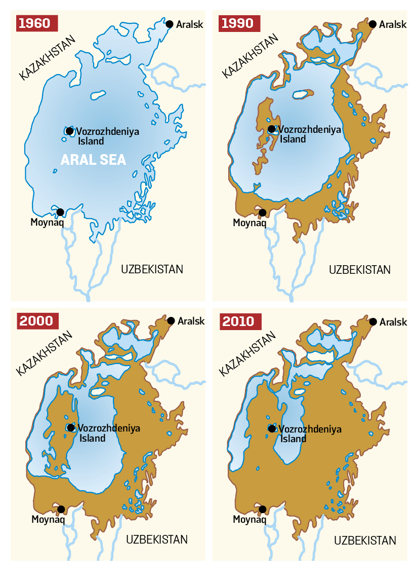
- Description:
- ~200 km² (shrinking), former island.
- Formation:
- Aral Sea sedimentation, now merged.
- Country:
- Uzbekistan, Kazakhstan.
- National Parks/Protected Areas
- Altyn-Emel National Park (Kazakhstan):
-
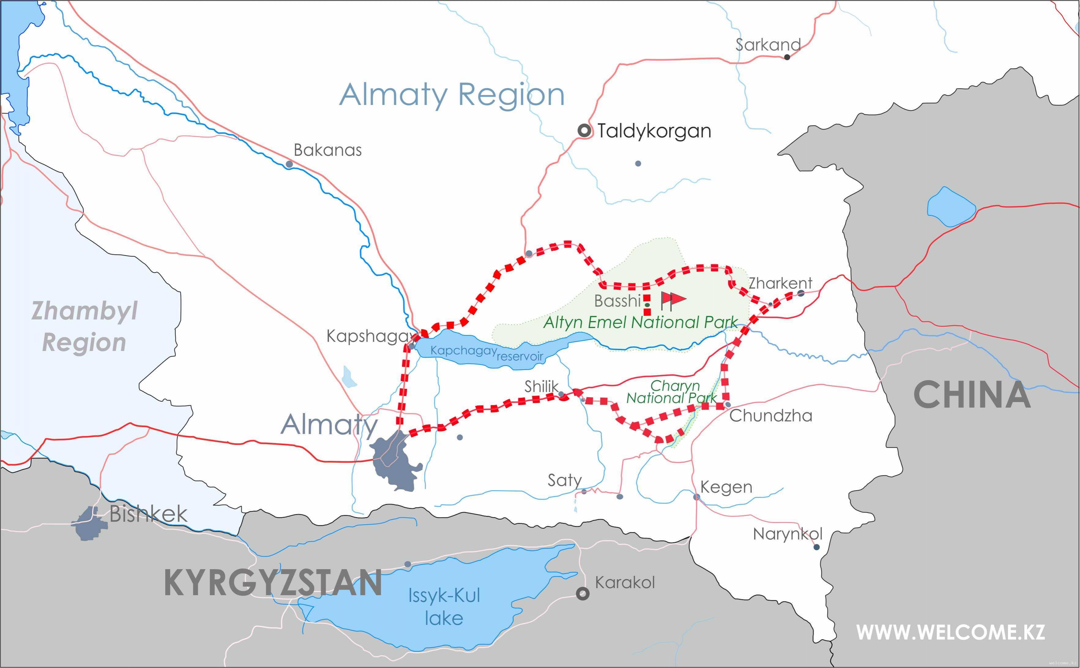
- Description:
- ~4,600 km², desert and mountains.
- Significance:
- Singing dunes, rare gazelles.
- Saryarka Steppe and Lakes (Kazakhstan):
-
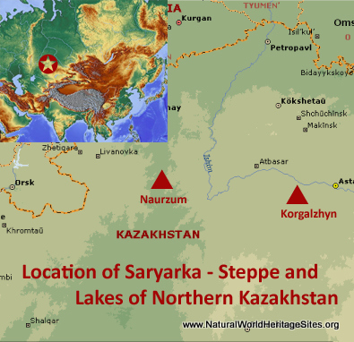
- Description:
- ~4,500 km², steppe ecosystem.
- Significance:
- UNESCO site, migratory birds.
- Gissar Nature Reserve (Tajikistan):
-
- Description:
- ~1,200 km², Pamir foothills.
- Significance:
- Snow leopards, alpine flora.
- Biodiversity Hotspots
- Mountains of Central Asia (Kyrgyzstan, Tajikistan, Kazakhstan):
-
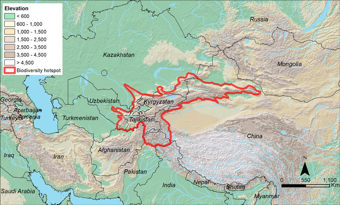
- Description:
- ~860,000 km², montane ecosystems.
- Significance:
- Snow leopards, overgrazing threat.
- Amu Darya Riparian Zone (Uzbekistan, Turkmenistan):
-
- Description:
- ~10,000 km², riverine ecosystems.
- Significance:
- Tugai forests, irrigation impact.
- Human Impact
- Aral Sea Shrinkage:
- Irrigation for cotton farming has reduced the sea, causing ecological collapse.
- Desertification (Kyzylkum, Karakum):
- Overgrazing and climate change expand desert areas.
- Water Disputes (Amu Darya, Syr Darya):
- Upstream damming sparks regional tensions.
- Gas Flaring (Turkmenistan):
- Energy extraction pollutes air, impacts health.
- Horn of Africa
-
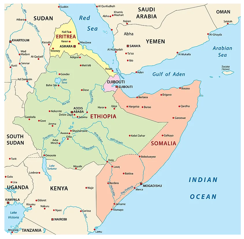
- Overview
- The Horn of Africa, a sub-region of East Africa, spans ~2 million km², with a population of ~160 million (2023). It features arid plains, rift valleys, and strategic coastlines, shaped by tectonic rifting, monsoonal climates, and maritime trade routes.
- Countries (4 recognized sovereign states)
- Djibouti
- Capital: Djibouti City
- Eritrea
- Capital: Asmara
- Ethiopia
- Capital: Addis Ababa
- Somalia
- Capital: Mogadishu
- Physiographic Divisions
- The Horn of Africa’s landscape is divided into three regions:
1. Ethiopian Highlands:
-
- Description:
- Rugged, high plateaus and peaks.
- Location:
- Central Ethiopia, Eritrea.
- Climate:
- Temperate to tropical highland.
- Features:
- Volcanic peaks, fertile soils.
- Countries:
- Ethiopia, Eritrea.
2. Somali Plateau:
-
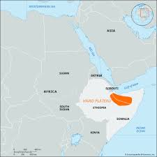
- Description:
- Arid to semi-arid lowlands.
- Location:
- Somalia, eastern Ethiopia.
- Climate:
- Arid (BWh in Köppen).
- Features:
- Scrublands, seasonal rivers.
- Countries:
- Somalia, Ethiopia.
3. Rift Valley and Coastal Plains:
-
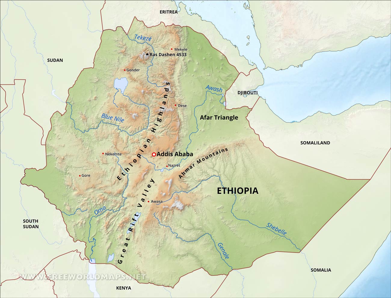
-
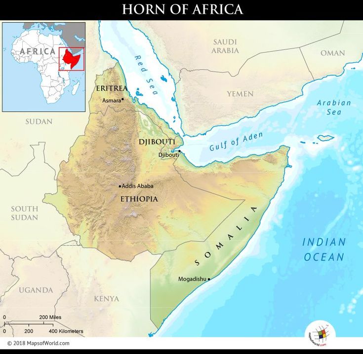
- Description:
- Tectonic valleys and narrow coastal strips.
- Location:
- Djibouti, Eritrea, Somalia.
- Climate:
- Tropical, arid coastal.
- Features:
- Coral reefs, salt flats.
- Countries:
- Djibouti, Eritrea, Somalia.
- Formation:
- East African Rift System formed valleys and highlands; tectonic uplift created plateaus; arid climate and erosion shaped deserts and coastlines.
- Major Physical Features
- Mountain Ranges
- Simien Mountains (Ethiopia):
-
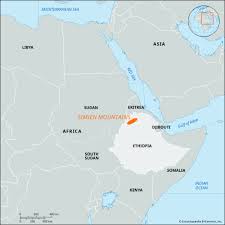
- Description:
- ~400 km, peaks at 4,550 m (Ras Dashen).
- Formation:
- Volcanic uplift, East African Rift.
- Significance:
- UNESCO site, endemic species.
- Ahmar Mountains (Ethiopia, Eritrea):
-
- Description:
- ~300 km, peaks at 3,000 m (Emba Soira).
- Formation:
- Tectonic uplift, erosion.
- Significance:
- Water source, agriculture.
- Mabla Mountains (Djibouti):
-
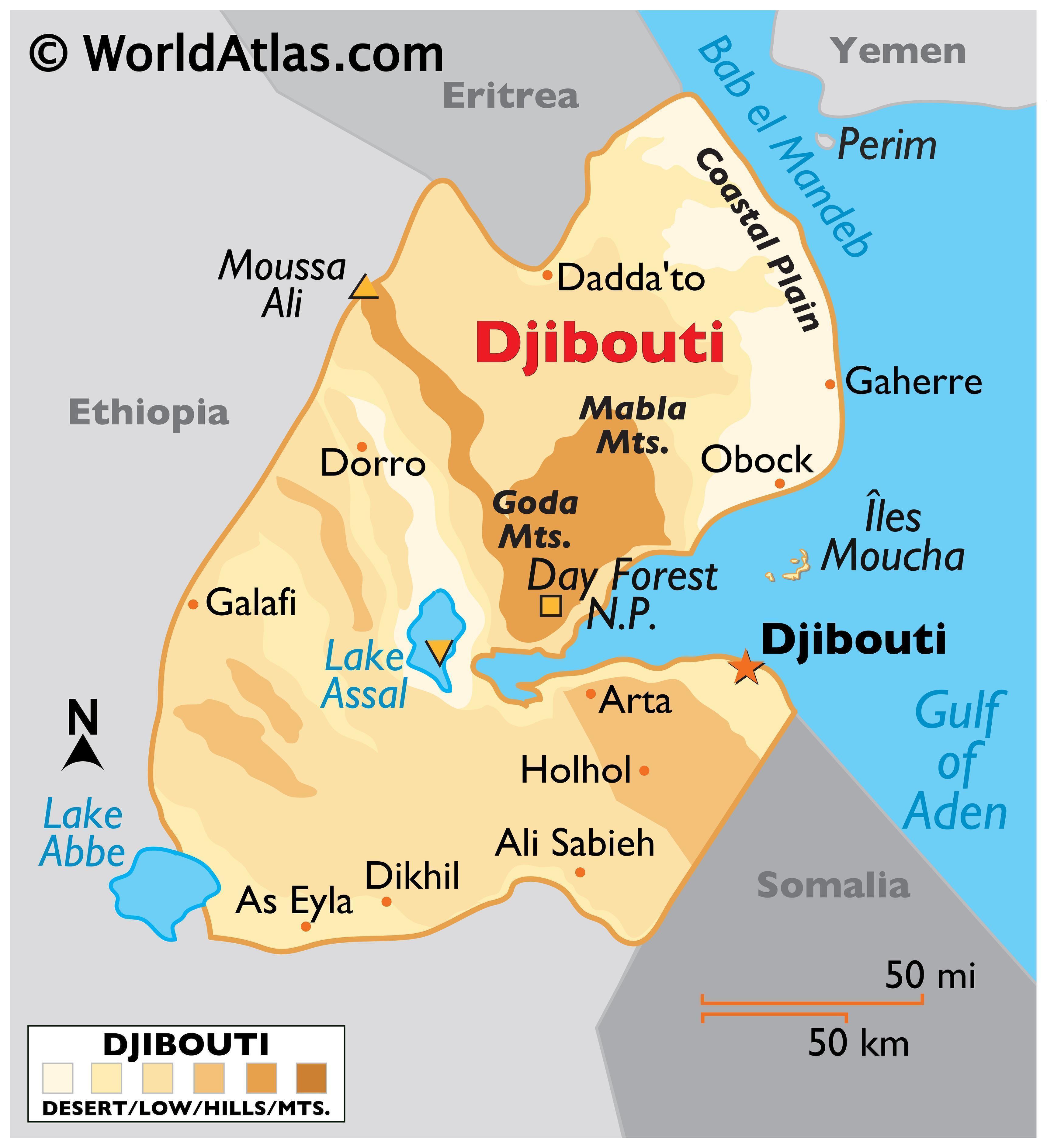
- Description:
- ~100 km, peaks at 1,300 m.
- Formation:
- Volcanic activity, rifting.
- Significance:
- Rare forests, pastoralism.
- Plateaus
- Ethiopian Plateau (Ethiopia):
-
- Description:
- ~1 million km², ~2,500 m elevation.
- Formation:
- Volcanic basalt flows, tectonic uplift.
- Significance:
- Coffee farming, dense population.
- Ogaden Plateau (Ethiopia, Somalia):
-
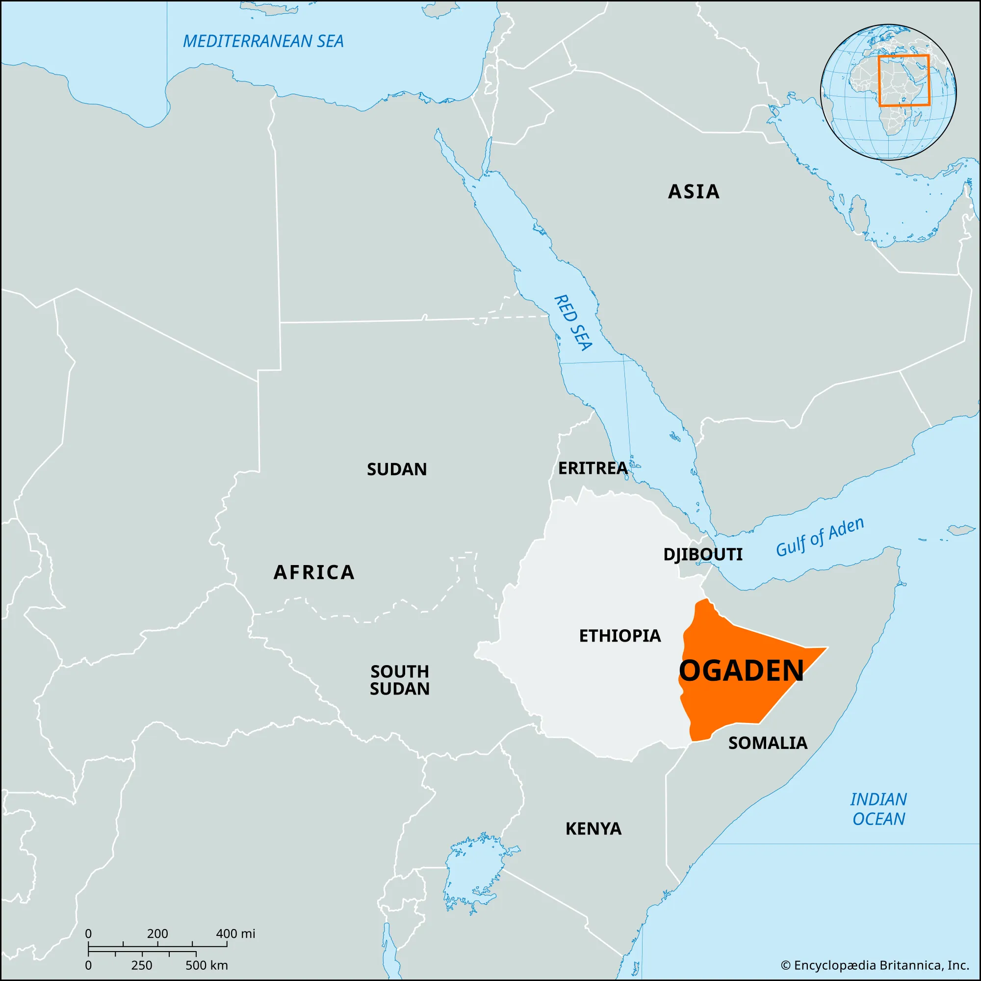
- Description:
- ~300,000 km², ~1,000 m.
- Formation:
- Sedimentary uplift, erosion.
- Significance:
- Pastoralism, oil exploration.
- Danakil Depression (Ethiopia, Eritrea, Djibouti):
-
- Description:
- ~10,000 km², below sea level.
- Formation:
- Tectonic rifting, volcanic activity.
- Significance:
- Hottest place on Earth, salt mining.
- Plains
- Somali Coastal Plain (Somalia):
-
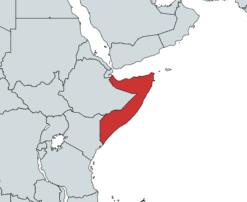
- Description:
- ~50,000 km², arid coastal strip.
- Formation:
- Marine sedimentation, erosion.
- Significance:
- Fisheries, ports.
- Awash Valley (Ethiopia, Djibouti):
-
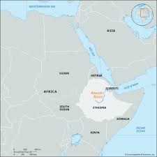
- Description:
- ~20,000 km², rift valley plain.
- Formation:
- Alluvial deposition, tectonic rifting.
- Significance:
- Agriculture, fossil sites.
- Banaadir Plain (Somalia):
-
- Description:
- ~10,000 km², fertile coastal.
- Formation:
- Shebelle River sedimentation.
- Significance:
- Banana farming, Mogadishu hub.
- Deserts
- Danakil Desert (Ethiopia, Eritrea, Djibouti):
-
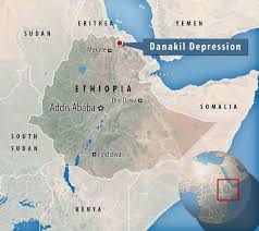
- Description:
- ~50,000 km², volcanic desert.
- Formation:
- Tectonic rifting, extreme aridity.
- Significance:
- Salt lakes, geothermal energy.
- Chalbi Desert (Northern Kenya: outside Horn core):
-
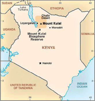
- Description:
- ~100,000 km², arid scrubland.
- Formation:
- Rain shadow, erosion.
- Significance:
- Pastoralism, drought risk.
- Ogaden Desert (Ethiopia, Somalia):
-
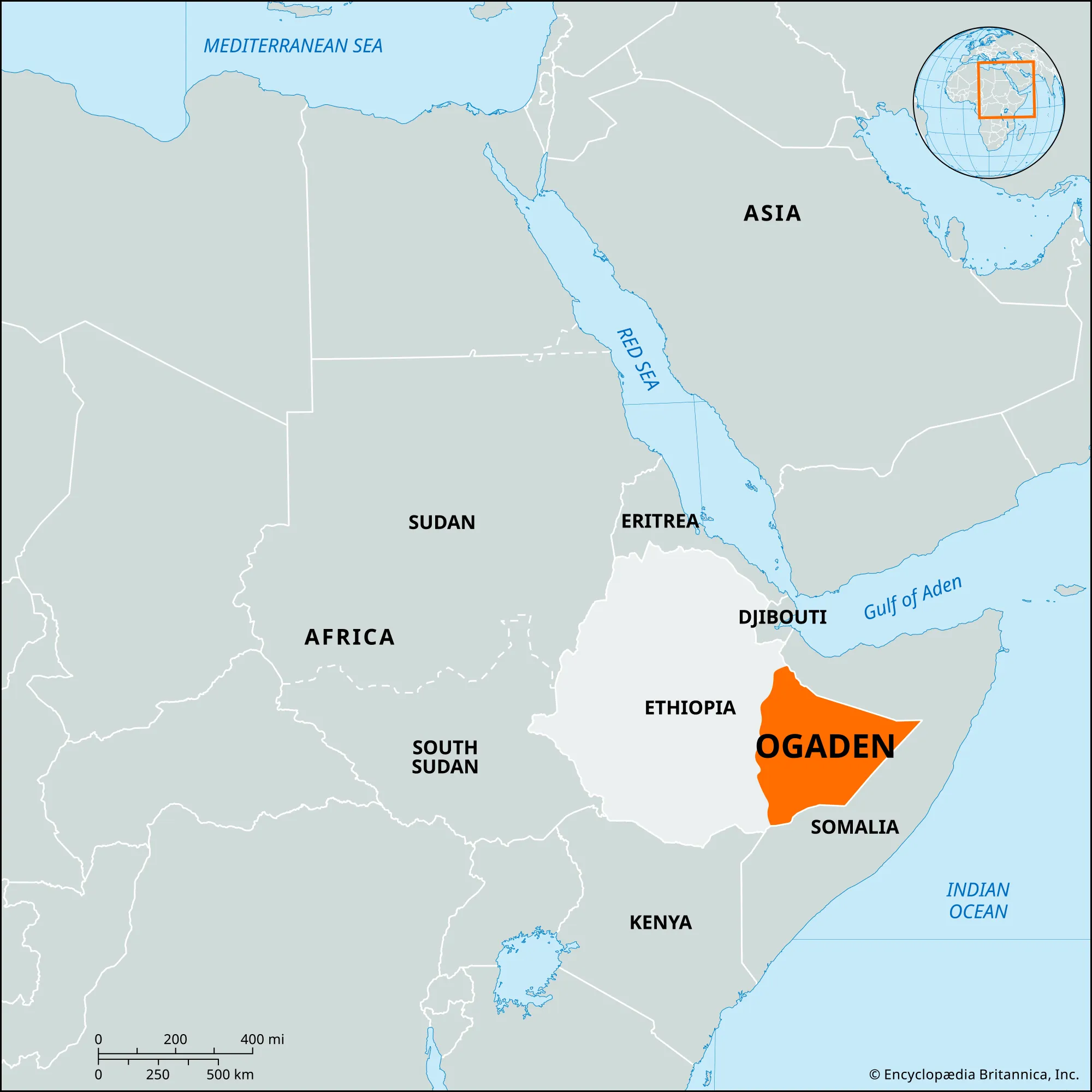
- Description:
- ~200,000 km², semi-arid.
- Formation:
- Continental aridity, wind erosion.
- Significance:
- Nomadic herding, oil potential.
- Forests
- Bale Mountain Forests (Ethiopia):
-
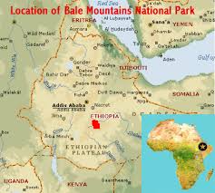
- Description:
- ~2,200 km², montane forest.
- Formation:
- High rainfall, orographic lift.
- Significance:
- Ethiopian wolf, conservation.
- Day Forest (Djibouti):
-
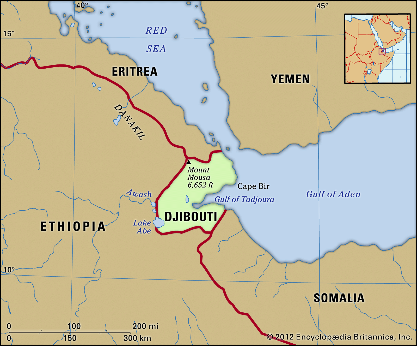
- Description:
- ~10 km², relic juniper forest.
- Formation:
- Highland moisture, rocky soils.
- Significance:
- Rare ecosystem, degradation risk.
- Harenna Forest (Ethiopia):
-
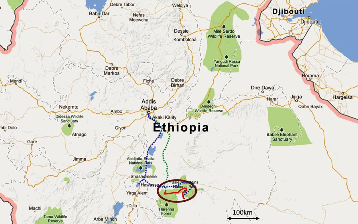
- Description:
- ~1,200 km², cloud forest.
- Formation:
- Monsoon rains, high elevation.
- Significance:
- Endemic flora, coffee wild species.
- Major Water Bodies
- Rivers
- Blue Nile (Ethiopia):
-
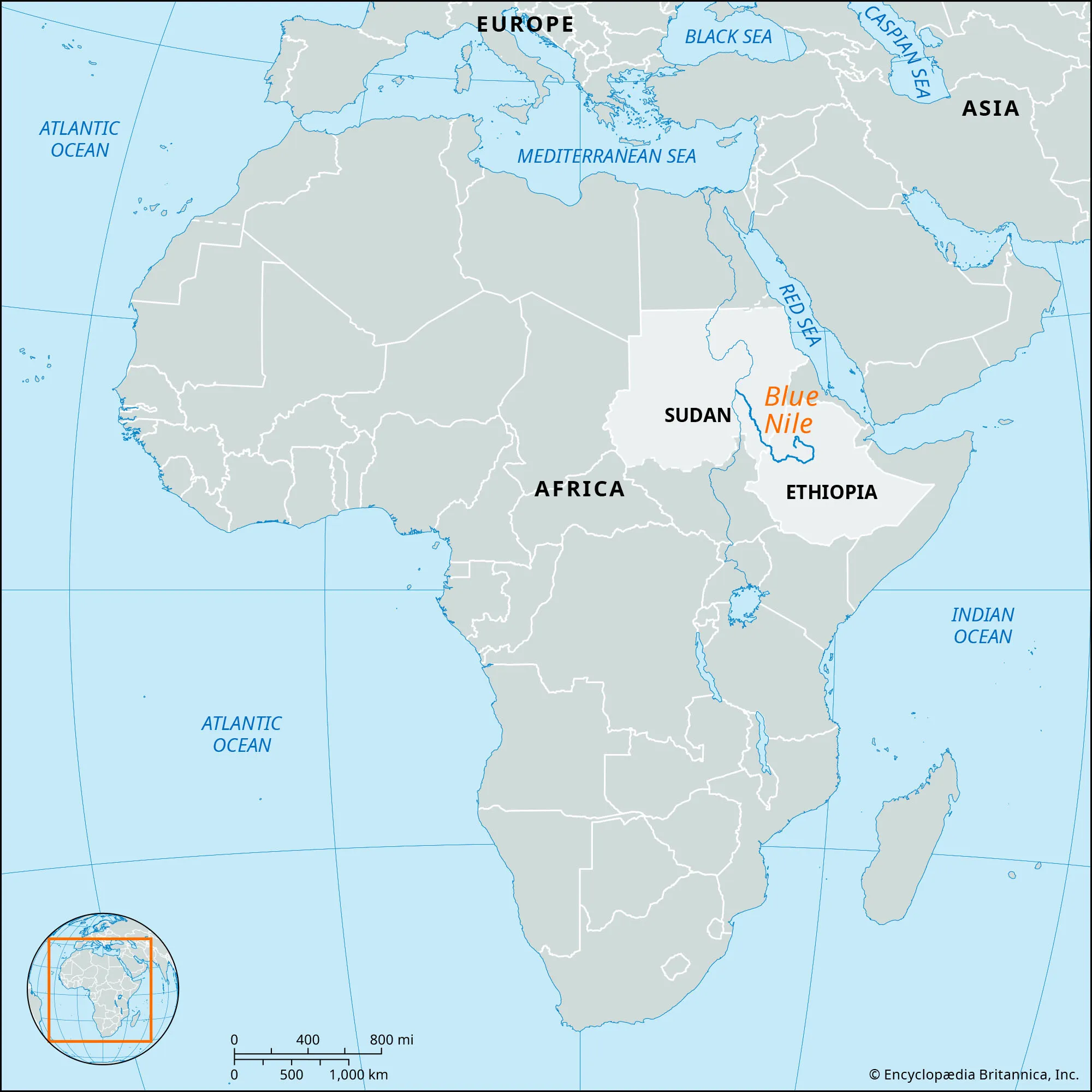
- Description:
- ~1,450 km, Nile tributary.
- Formation:
- Fluvial + erosion + volcanic plateau.
- Significance:
- Hydropower, Nile Basin disputes.
- Shebelle River (Ethiopia, Somalia):
-
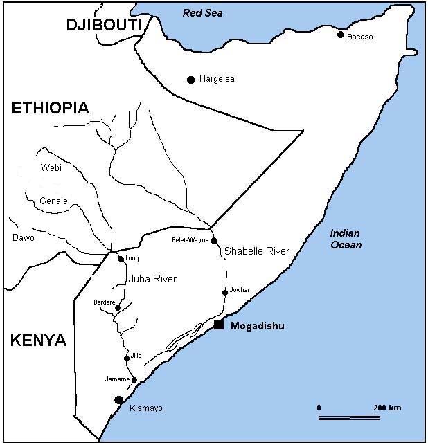
- Description:
- ~1,820 km, seasonal flow.
- Formation:
- Highland runoff, alluvial plains.
- Significance:
- Irrigation, flood risk.
- Awash River (Ethiopia, Djibouti):
-
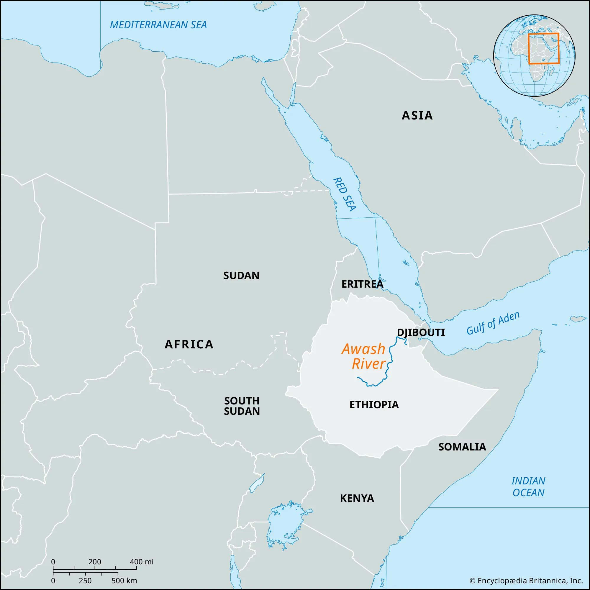
- Description:
- ~1,200 km, rift valley.
- Formation:
- Rift valley drainage, volcanic.
- Significance:
- Agriculture, terminates in desert.
- Lakes
- Lake Tana (Ethiopia):
-
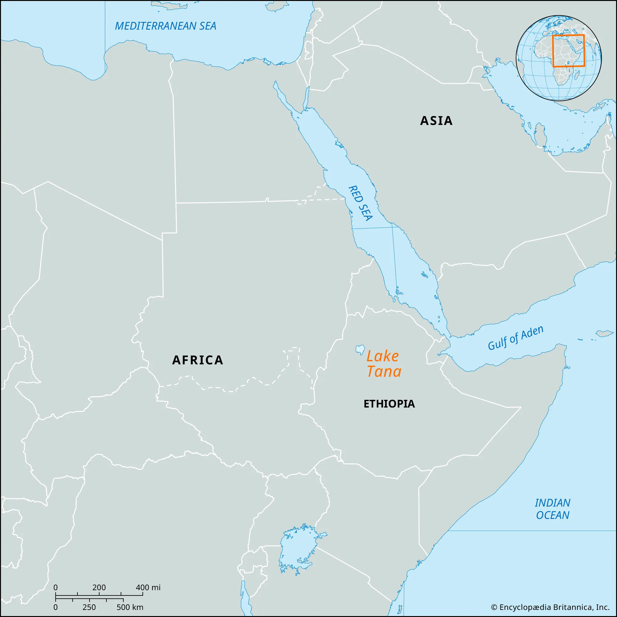
- Description:
- ~3,200 km², largest in Ethiopia.
- Formation:
- Tectonic basin, volcanic damming.
- Significance:
- Blue Nile source, fisheries.
- Lake Turkana (Ethiopia):
-
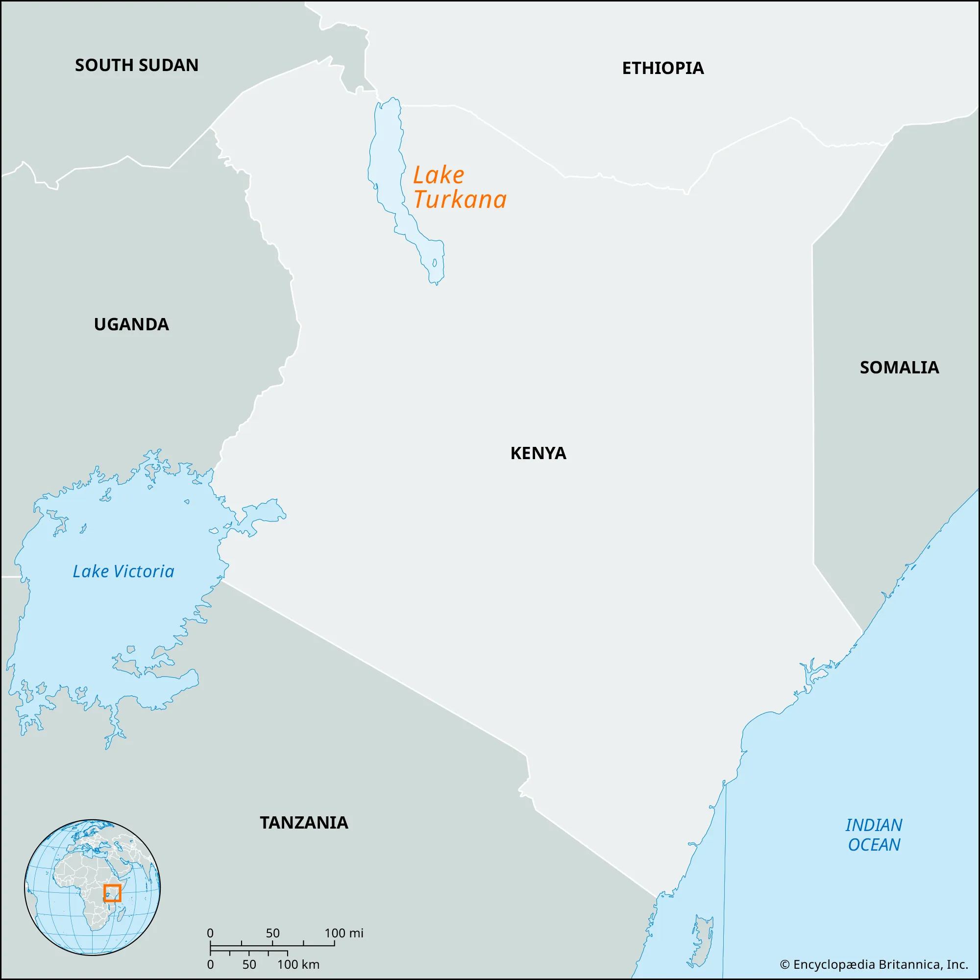
- Description:
- ~6,405 km², saline lake.
- Formation:
- East African Rift, tectonic.
- Significance:
- Fossil sites, pastoralism.
- Lake Abbe (Ethiopia, Djibouti):
-
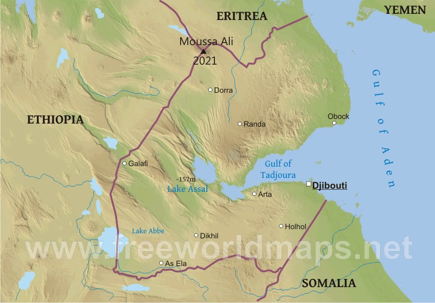
- Description:
- ~340 km², salt lake.
- Formation:
- Tectonic depression, evaporation.
- Significance:
- Flamingos, geothermal features.
- Basins
- Blue Nile Basin (Ethiopia):
-
- Description:
- ~250,000 km², fertile.
- Formation:
- Alluvial deposition.
- Significance:
- Agriculture, hydropower dams.
- Danakil Basin (Ethiopia, Eritrea, Djibouti):
-
- Description:
- ~100,000 km², arid rift.
- Formation:
- Tectonic rifting, volcanic activity.
- Significance:
- Salt mining, geological research.
- Shebelle Basin (Ethiopia, Somalia):
-
- Description:
- ~200,000 km², seasonal.
- Formation:
- Sedimentary deposition, monsoon rains.
- Significance:
- Irrigation, pastoralism.
- Gulfs
- Gulf of Aden (Somalia, Djibouti):
-
- Description:
- ~410,000 km², strategic waterway.
- Formation:
- Tectonic rifting, Red Sea extension.
- Significance:
- Maritime trade, piracy concerns.
- Gulf of Tadjoura (Djibouti):
-
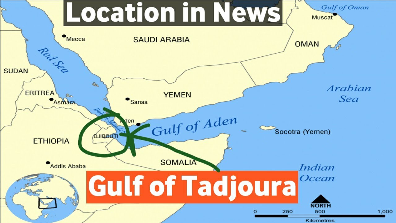
- Description:
- ~10,000 km², sheltered gulf.
- Formation:
- Rift valley indentation, tectonic.
- Significance:
- Port of Djibouti, coral reefs.
- Islands
- Dahlak Archipelago
-
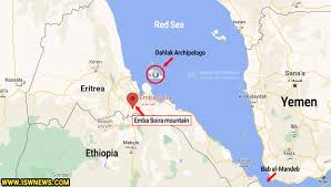
- Country:
- Eritrea
- Description:
- ~2,100 km², coral islands.
- Formation:
- Coral growth, tectonic uplift.
- Moucha Island
-
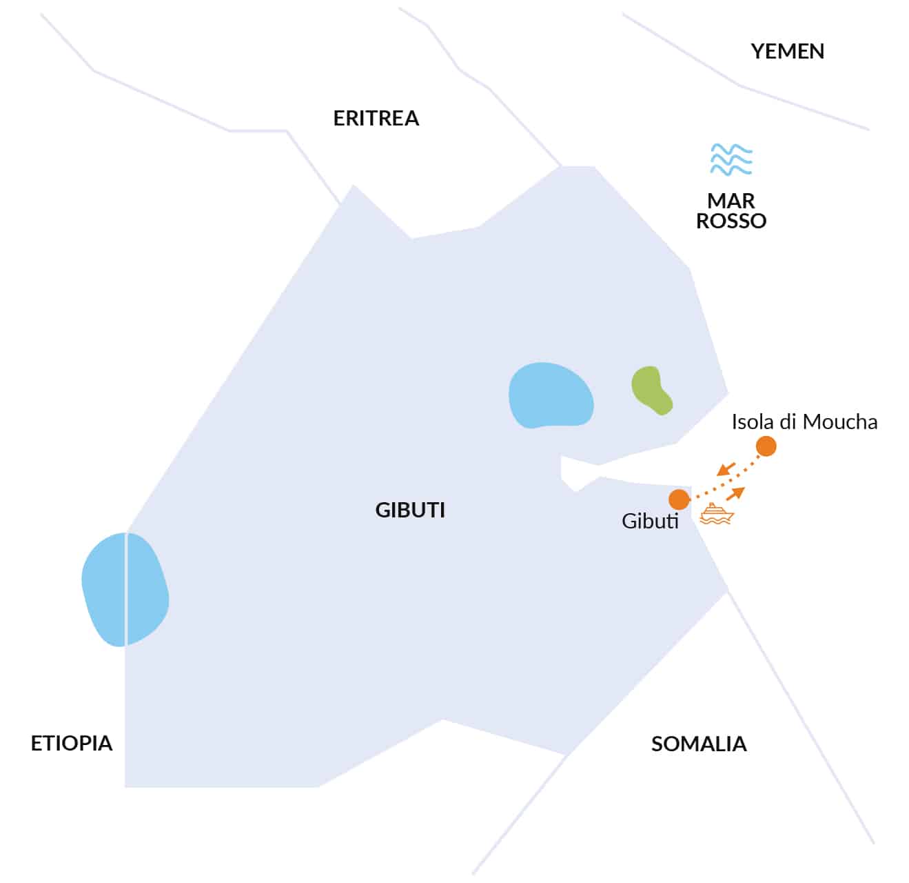
- Country:
- Djibouti
- Description:
- ~10 km², coral island.
- Formation:
- Coral reef, volcanic base.
- National Parks/Protected Areas
- Simien Mountains National Park (Ethiopia):
-
- Description:
- ~412 km², rugged highlands.
- Significance:
- UNESCO site, gelada baboons.
- Bale Mountains National Park (Ethiopia):
-
- Description:
- ~2,200 km², montane ecosystems.
- Significance:
- Ethiopian wolf, endemic flora.
- Dahlak Marine National Park (Eritrea):
-
- Description:
- ~2,000 km², coral reefs.
- Significance:
- Marine biodiversity, tourism potential.
- Biodiversity Hotspots
- Horn of Africa Hotspot (Ethiopia, Somalia, Eritrea):
-
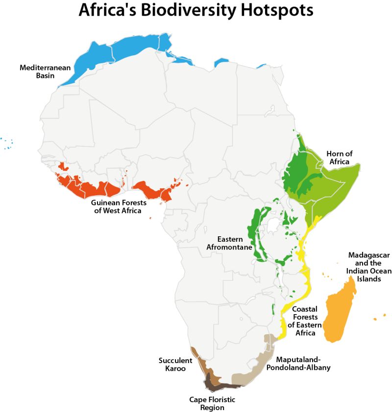
- Description:
- ~1.5 million km², arid and highland ecosystems.
- Significance:
- Endemic plants, desertification threat.
- Eastern Afromontane (Ethiopian Highlands):
-
- Description:
- ~200,000 km², montane forests.
- Significance:
- Unique species, agricultural pressure.
- Human Impact
- Desertification (Ogaden, Danakil):
- Overgrazing and climate change expand arid zones.
- Famine and Drought (Somali Plateau):
- Recurrent droughts cause food insecurity, displacement.
- Piracy (Gulf of Aden):
- Maritime insecurity disrupts global trade routes.
- Deforestation (Ethiopian Highlands):
- Agricultural expansion reduces forest cover, increases erosion.
- South Caucasus
-
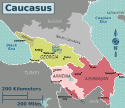
- Overview
- The South Caucasus, a sub-region of Eurasia, spans ~186,000 km², with a population of ~17 million (2023). It features rugged mountains, fertile valleys, and strategic coastlines, shaped by tectonic activity, temperate climates, and historical trade routes.
- Countries (3 recognized sovereign states)
- Armenia
- Capital: Yerevan
- Azerbaijan
- Capital: Baku
- Georgia
- Capital: Tbilisi
- Physiographic Divisions
- The South Caucasus’s landscape is divided into three regions:
1. Greater Caucasus Mountains:
-
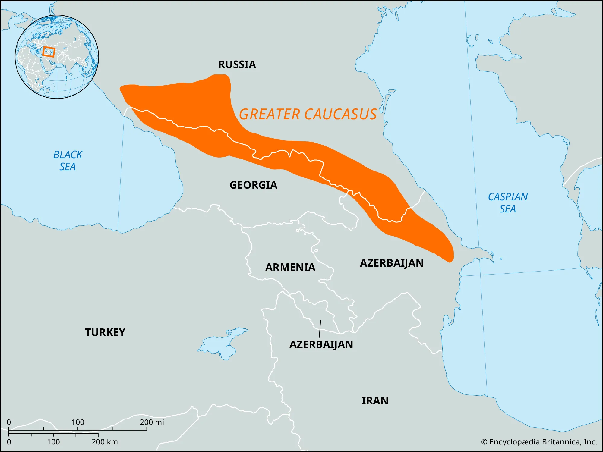
- Description:
- High, rugged mountain range.
- Location:
- Northern South Caucasus.
- Climate:
- Alpine to temperate.
- Features:
- Glaciers, high peaks.
- Countries:
- Georgia, Azerbaijan.
2. Lesser Caucasus Mountains:
-
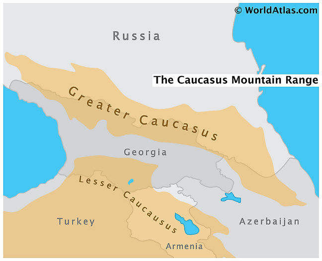
- Description:
- Lower, forested mountains.
- Location:
- Southern South Caucasus.
- Climate:
- Temperate, humid.
- Features:
- Mineral springs, forests.
- Countries:
- Armenia, Georgia, Azerbaijan.
3. Kura-Aras Lowland:
-
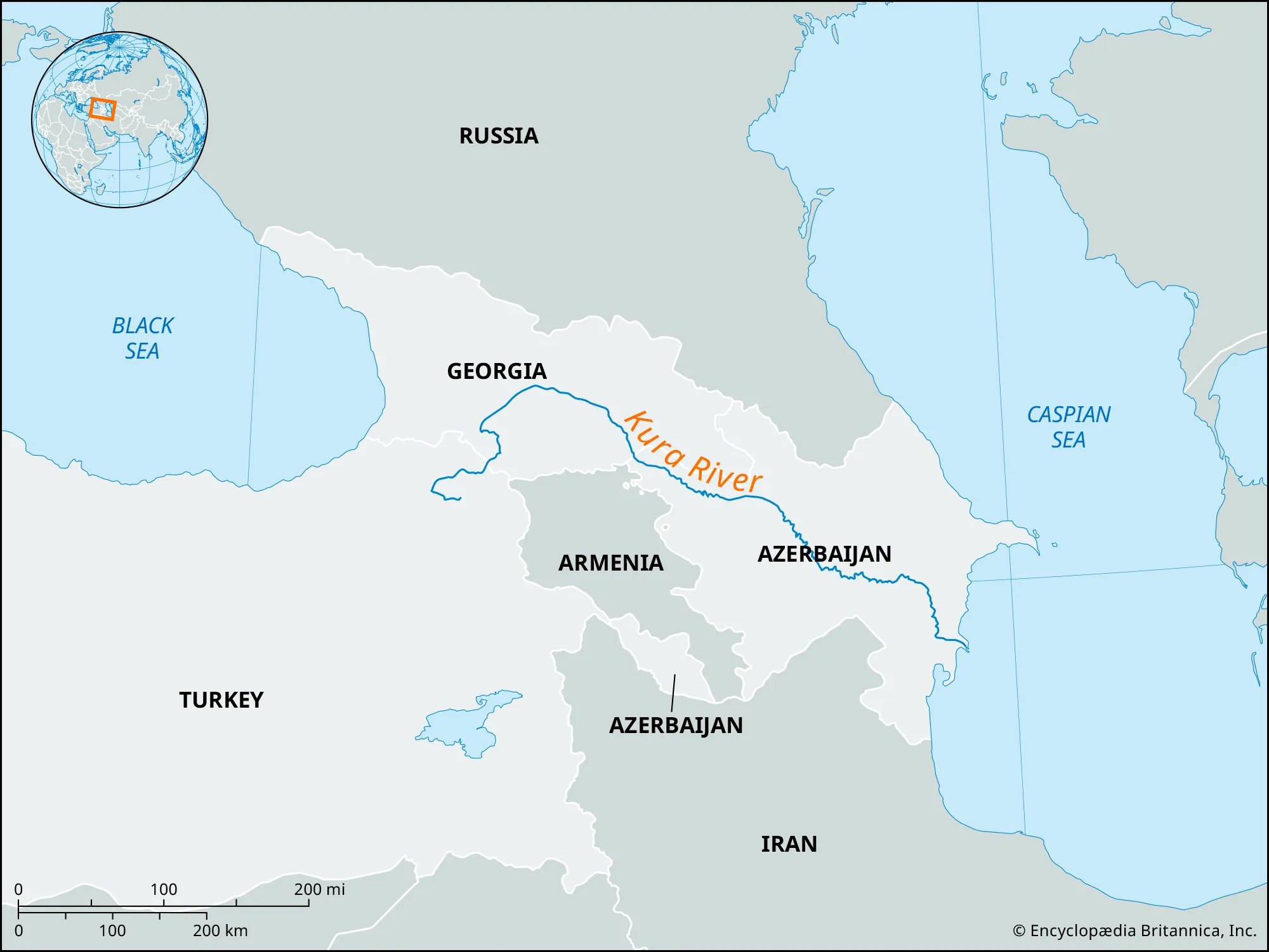
- Description:
- Fertile river plains.
- Location:
- Central and eastern South Caucasus.
- Climate:
- Semi-arid to temperate.
- Features:
- Agricultural fields, oil fields.
- Countries:
- Azerbaijan, Georgia, Armenia.
- Formation:
- Tectonic collisions (Arabian-Eurasian plates) formed the Caucasus Mountains; erosion and river sedimentation shaped lowlands; Black and Caspian Sea interactions influenced coastal plains.
- Major Physical Features
- Mountain Ranges
- Greater Caucasus (Georgia, Azerbaijan):
-
- Description:
- ~1,200 km, peaks at 5,642 m (Mt. Elbrus, Russia border).
- Formation:
- Alpine orogeny, tectonic collision.
- Significance:
- Biodiversity, tourism.
- Lesser Caucasus (Armenia, Georgia, Azerbaijan):
-
- Description:
- ~600 km, peaks at 4,090 m (Mt. Aragats).
- Formation:
- Tectonic uplift, volcanic activity.
- Significance:
- Mineral resources, agriculture.
- Talysh Mountains (Azerbaijan):
-
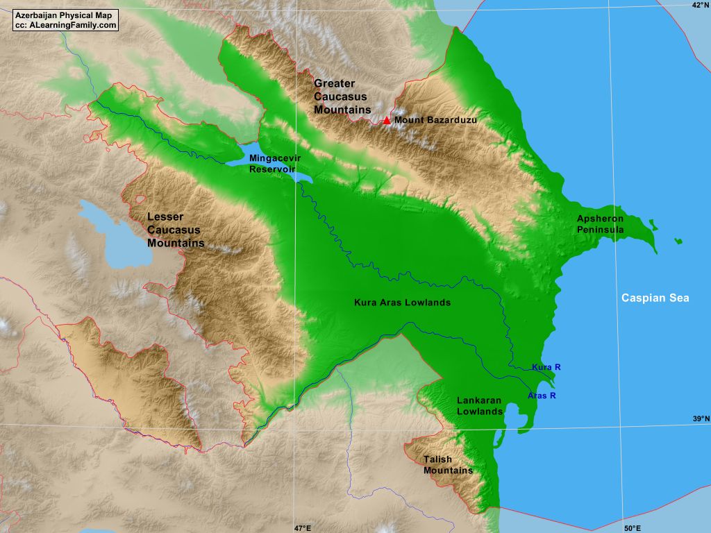
- Description:
- ~200 km, peaks at 2,477 m.
- Formation:
- Tectonic folding, erosion.
- Significance:
- Forests, pastoralism.
- Plateaus
- Armenian Plateau (Armenia):
-
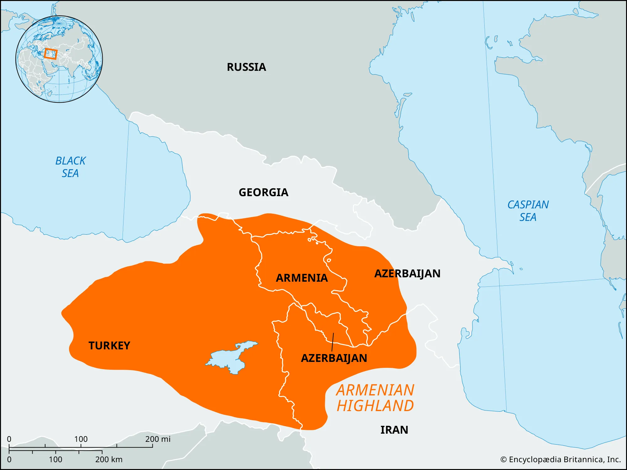
- Description:
- ~150,000 km², ~2,000 m elevation.
- Formation:
- Volcanic uplift, tectonic.
- Significance:
- Agriculture, historical sites.
- Javakheti Plateau (Georgia, Armenia):
-
- Description:
- ~6,000 km², volcanic, ~2,000 m.
- Formation:
- Volcanic lava flows, tectonic.
- Significance:
- Lakes, pastoralism.
- Karabakh Upland (Azerbaijan, Armenia):
-
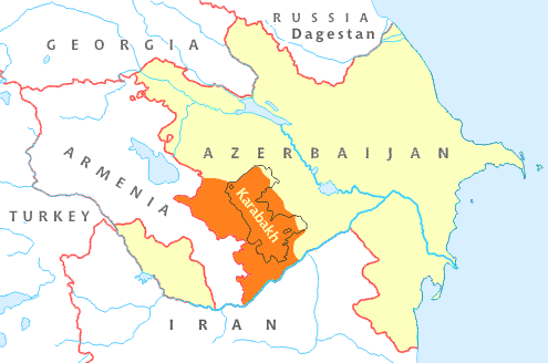
- Description:
- ~10,000 km², ~1,500 m.
- Formation:
- Tectonic uplift, erosion.
- Significance:
- Agriculture, conflict zone.
- Plains
- Kura-Aras Lowland (Azerbaijan, Georgia):
-
- Description:
- ~20,000 km², fertile plain.
- Formation:
- Kura River sedimentation, alluvial.
- Significance:
- Cotton, oil fields.
- Colchis Lowland (Georgia):
-
- Description:
- ~3,000 km², subtropical plain.
- Formation:
- Black Sea sedimentation, tectonic.
- Significance:
- Tea, citrus farming.
- Alazan Valley (Georgia, Azerbaijan):
-
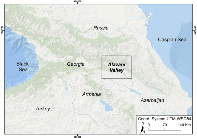
- Description:
- ~2,000 km², river valley.
- Formation:
- Alluvial deposition, tectonic.
- Significance:
- Vineyards, wine production.
- Deserts
- No significant deserts; semi-arid areas exist.
- Shirvan Steppe (Azerbaijan):
-
- Description:
- ~5,000 km², semi-arid plain.
- Formation:
- Rain shadow, low precipitation.
- Significance:
- Pastoralism, oil exploration.
- Forests
- Hyrcanian Forests (Azerbaijan):
-
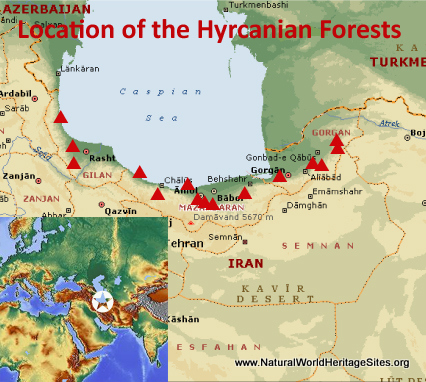
- Description:
- ~7,000 km², temperate rainforest.
- Formation:
- Caspian moisture, humid climate.
- Significance:
- UNESCO site, biodiversity.
- Colchis Forests (Georgia):
-
- Description:
- ~5,000 km², subtropical forest.
- Formation:
- Black Sea rainfall, fertile soils.
- Significance:
- Endemic species, conservation.
- Dilijan Forests (Armenia):
-
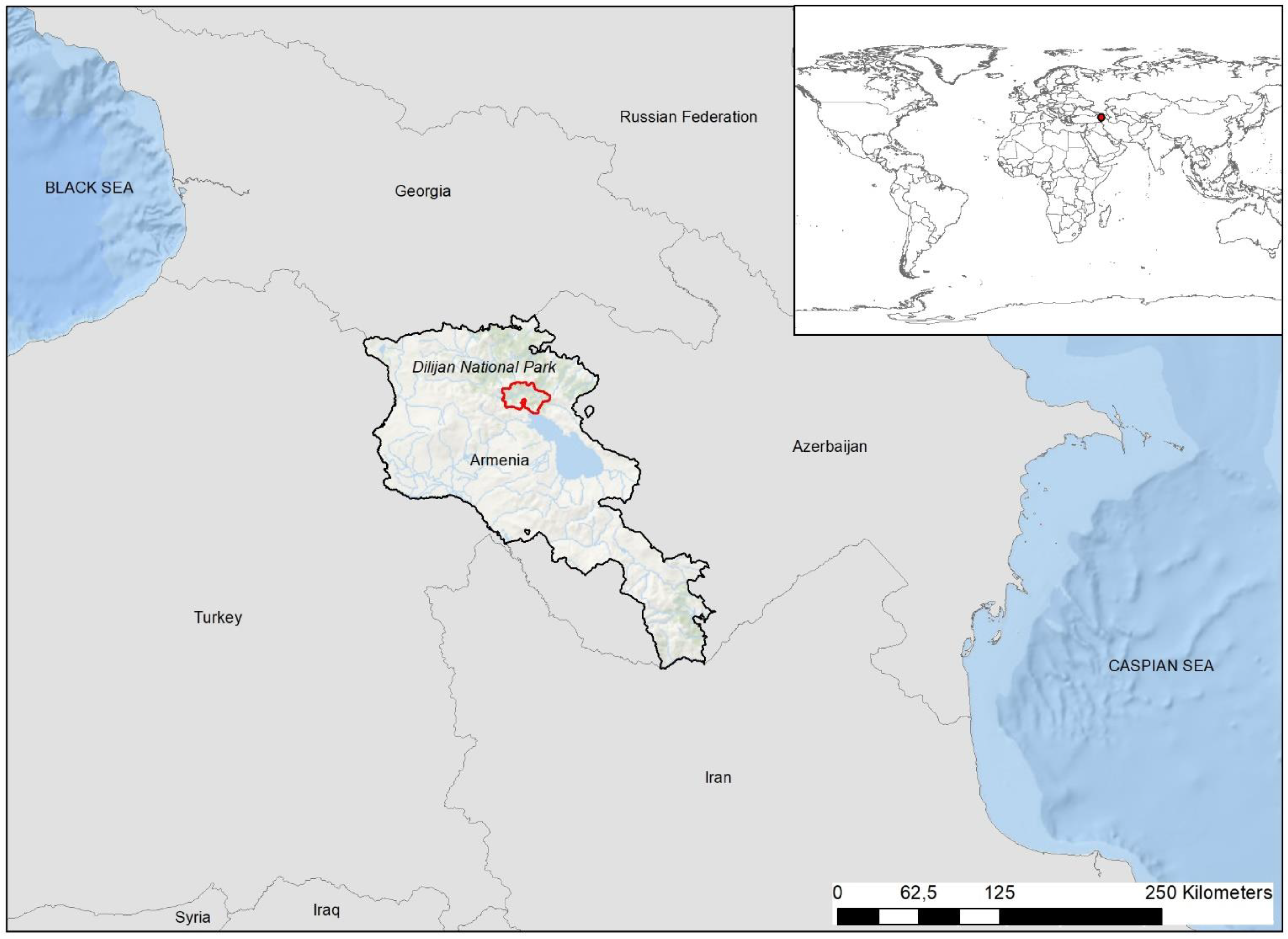
- Description:
- ~2,000 km², mixed forest.
- Formation:
- High elevation, temperate climate.
- Significance:
- Wildlife, ecotourism.
- Major Water Bodies
- Rivers
- Kura River (Georgia, Azerbaijan):
-
- Description:
- ~1,515 km, longest in Caucasus.
- Formation:
- Fluvial + erosion + structural guidance.
- Significance:
- Irrigation, hydropower.
- Aras River (Armenia, Azerbaijan):
-
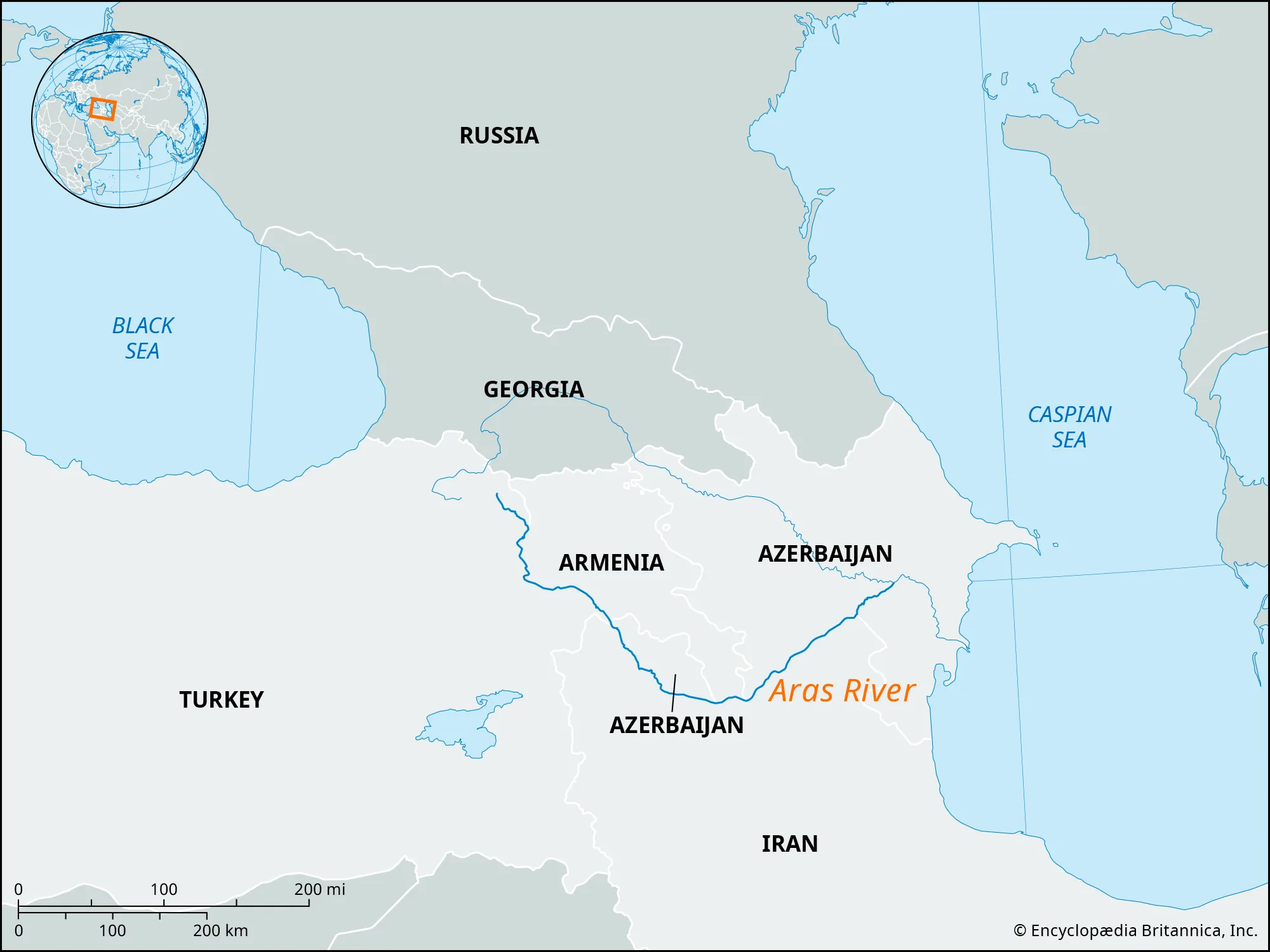
- Description:
- ~1,072 km, Kura tributary.
- Formation:
- Armenian Plateau runoff, alluvial.
- Significance:
- Agriculture, border disputes.
- Rioni River (Georgia):
-
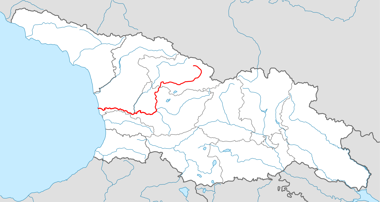
- Description:
- ~327 km, Black Sea drainage.
- Formation:
- Greater Caucasus runoff, glacial.
- Significance:
- Hydropower, Colchis plain.
- Lakes
- Lake Sevan (Armenia):
-
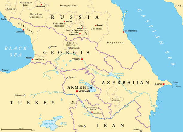
- Description:
- ~1,242 km², high-altitude lake.
- Formation:
- Tectonic depression, volcanic.
- Significance:
- Fisheries, irrigation.
- Lake Paravani (Georgia):
-
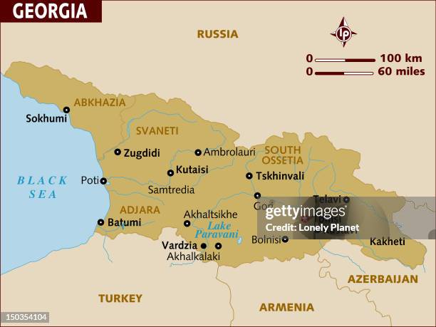
- Description:
- ~37 km², volcanic lake.
- Formation:
- Volcanic dam, tectonic.
- Significance:
- Bird migration, hydropower.
- Mingachevir Reservoir (Azerbaijan):
-
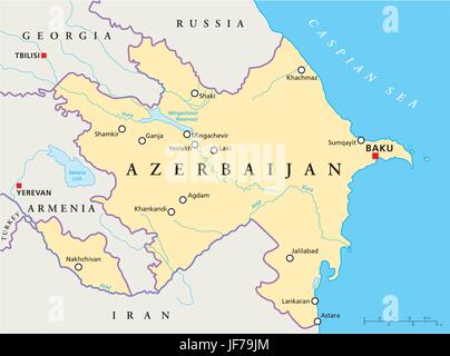
- Description:
- ~605 km², man-made.
- Formation:
- Man-made reservoir.
- Significance:
- Power generation, irrigation.
- Basins
- Kura-Aras Basin (Azerbaijan, Georgia, Armenia):
-
- Description:
- ~188,000 km², fertile.
- Formation:
- Alluvial deposition.
- Significance:
- Agriculture, oil fields.
- Caspian Depression (Azerbaijan):
-
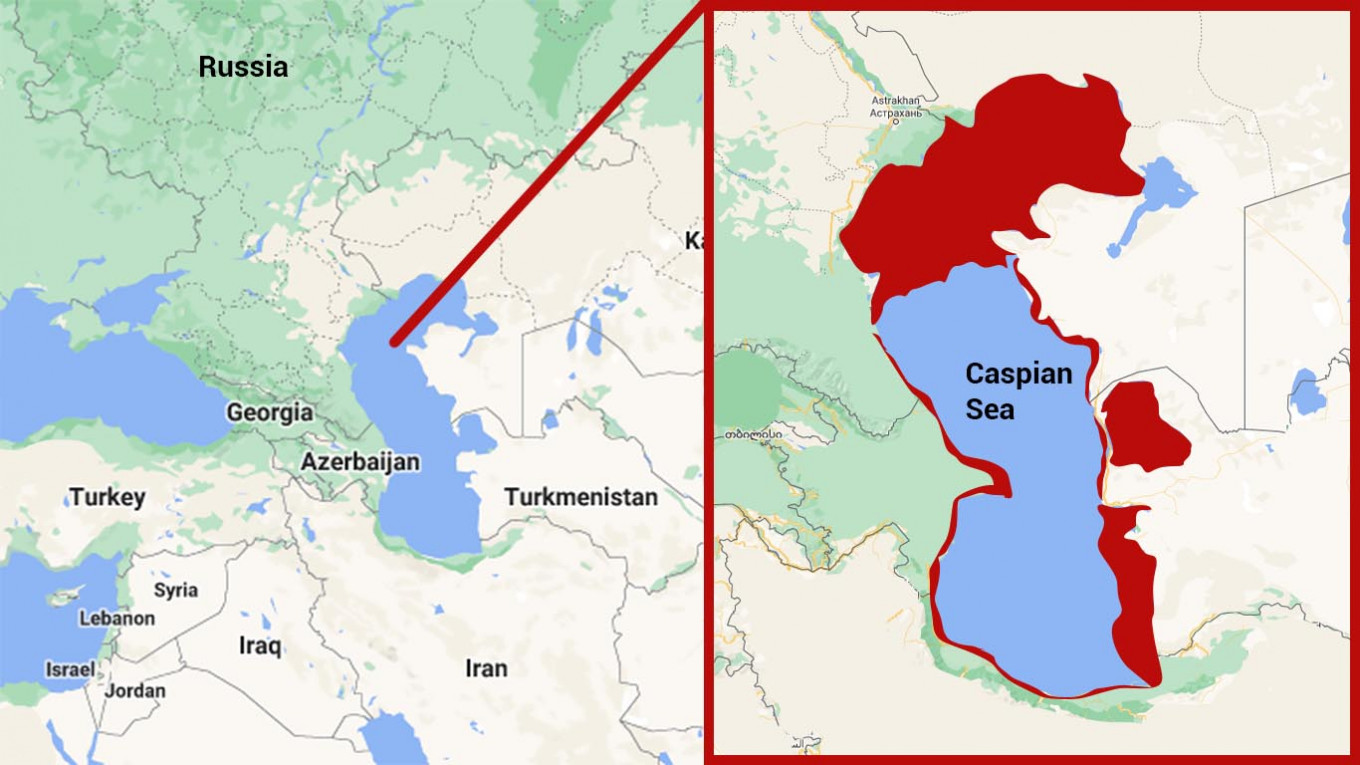
- Description:
- ~100,000 km², below sea level.
- Formation:
- Tectonic subsidence, sedimentation.
- Significance:
- Oil and gas, pastoralism.
- Ararat Valley (Armenia):
-
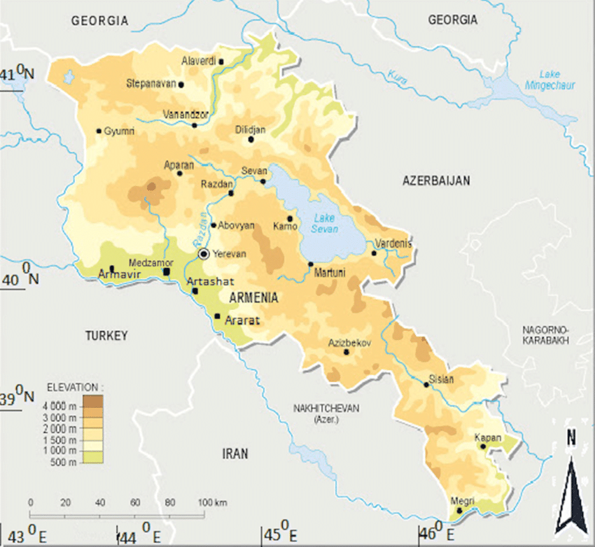
- Description:
- ~6,000 km², fertile valley.
- Formation:
- Alluvial deposition, volcanic soils.
- Significance:
- Vineyards, urban centers.
- Gulfs
- No significant gulfs; adjacent seas noted.
- Black Sea Coast (Georgia):
-
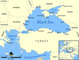
- Description:
- ~315 km coastline, temperate.
- Formation:
- Tectonic subsidence, erosion.
- Significance:
- Ports, tourism.
- Caspian Sea Coast (Azerbaijan):
-
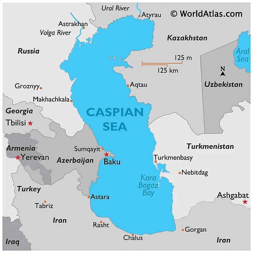
- Description:
- ~700 km coastline, semi-arid.
- Formation:
- Tectonic basin, sedimentation.
- Significance:
- Oil fields, fisheries.
- Islands
- No significant islands due to limited coastal geography; minor river and lake islands exist.
- Pirallahi Island
-
- Country:
- Azerbaijan
- Description:
- ~15 km², Caspian Sea.
- Formation:
- Sedimentary deposition, tectonic.
- National Parks/Protected Areas
- Borjomi-Kharagauli National Park (Georgia):
-
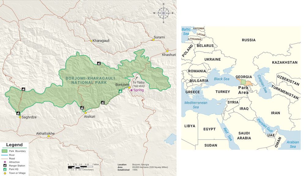
- Description:
- ~850 km², forested mountains.
- Significance:
- Biodiversity, ecotourism.
- Dilijan National Park (Armenia):
-
- Description:
- ~240 km², mixed forests.
- Significance:
- Wildlife, cultural heritage.
- Shirvan National Park (Azerbaijan):
-
- Description:
- ~543 km², semi-arid steppe.
- Significance:
- Gazelles, migratory birds.
- Biodiversity Hotspots
- Caucasus Hotspot (Georgia, Armenia, Azerbaijan):
-
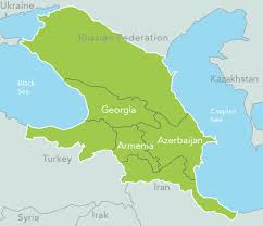
- Description:
- ~500,000 km², montane and forest ecosystems.
- Significance:
- Endemic species, agricultural pressure.
- Hyrcanian Forests (Azerbaijan):
-
- Description:
- ~7,000 km², Caspian forests.
- Significance:
- UNESCO site, deforestation risk.
- Human Impact
- Energy Pipelines (Azerbaijan, Georgia):
- Oil and gas extraction disrupts ecosystems, fuels geopolitics.
- Conflict Zones (Nagorno-Karabakh):
- Armenia-Azerbaijan disputes cause environmental degradation.
- Deforestation (Lesser Caucasus):
- Logging and agriculture reduce forest cover, increase erosion.
- Urbanization (Baku, Tbilisi):
- Coastal and valley development strains water resources, habitats.
- Global Oceans
-
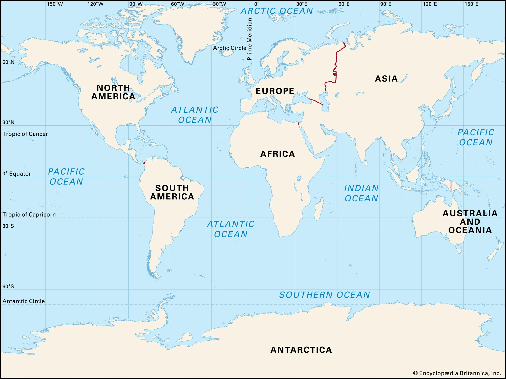
- Overview
- Global Oceans, covering ~361 million km² (71% of Earth’s surface), have no permanent population but support ~3 billion coastal residents (2023). They include the Pacific, Atlantic, Indian, Southern, and Arctic Oceans, shaping climate, biodiversity, and global trade.
- Countries (Key coastal nations with governance roles)
- None (sovereign states govern coastal zones, exclusive economic zones under UNCLOS)
- Physiographic Divisions
-
- Global Oceans are divided into five major oceans:
1. Pacific Ocean:
- Description:
- Largest ocean, ~155 million km².
- Location:
- Between Americas, Asia, Australia.
- Climate:
- Tropical to polar.
- Features:
- Mariana Trench, coral reefs.
- Countries:
- United States, Japan, Indonesia, Australia.
2. Atlantic Ocean:
- Description:
- ~86 million km², second largest.
- Location:
- Between Americas, Europe, Africa.
- Climate:
- Temperate to polar.
- Features:
- Mid-Atlantic Ridge, Gulf Stream.
- Countries:
- Brazil, Canada, Nigeria, United Kingdom.
3. Indian Ocean:
- Description:
- ~70 million km², third largest.
- Location:
- Between Africa, Asia, Australia.
- Climate:
- Tropical, monsoon-influenced.
- Features:
- Seychelles Plateau, monsoonal currents.
- Countries:
- India, South Africa, Sri Lanka, Maldives.
4. Southern Ocean:
- Description:
- ~20 million km², encircles Antarctica.
- Location:
- Southern Hemisphere, below 60°S.
- Climate:
- Polar, stormy.
- Features:
- Antarctic Circumpolar Current, icebergs.
- Countries:
- Chile, Argentina, New Zealand.
5. Arctic Ocean:
- Description:
- ~14 million km², smallest ocean.
- Location:
- North Polar region.
- Climate:
- Polar, ice-covered.
- Features:
- Sea ice, Lomonosov Ridge.
- Countries:
- Canada, Russia, Norway, Denmark.
- Formation:
- Tectonic plate divergence formed ocean basins; continental drift shaped boundaries; glacial cycles influenced sea levels and currents.
- Major Physical Features
- Mountain Ranges
- Mid-Atlantic Ridge (Atlantic):
-
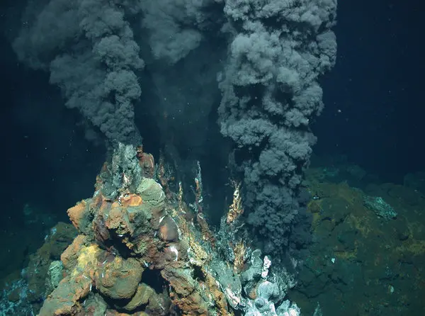
- Description:
- ~16,000 km, submarine ridge.
- Formation:
- Seafloor spreading, tectonic divergence.
- Significance:
- Volcanic activity, new crust formation.
- East Pacific Rise (Pacific):
-
- Description:
- ~10,000 km, fast-spreading ridge.
- Formation:
- Tectonic divergence, volcanic.
- Significance:
- Earthquake zone, marine ecosystems.
- Carlsberg Ridge (Indian):
-
- Description:
- ~3,000 km, submarine ridge.
- Formation:
- Seafloor spreading, tectonic.
- Significance:
- Deep-sea vents, biodiversity.
- Plateaus
- Seychelles Plateau (Indian):
-
- Description:
- ~40,000 km², submerged granite.
- Formation:
- Continental fragment, tectonic drift.
- Significance:
- Coral reefs, fisheries.
- Kerguelen Plateau (Southern):
-
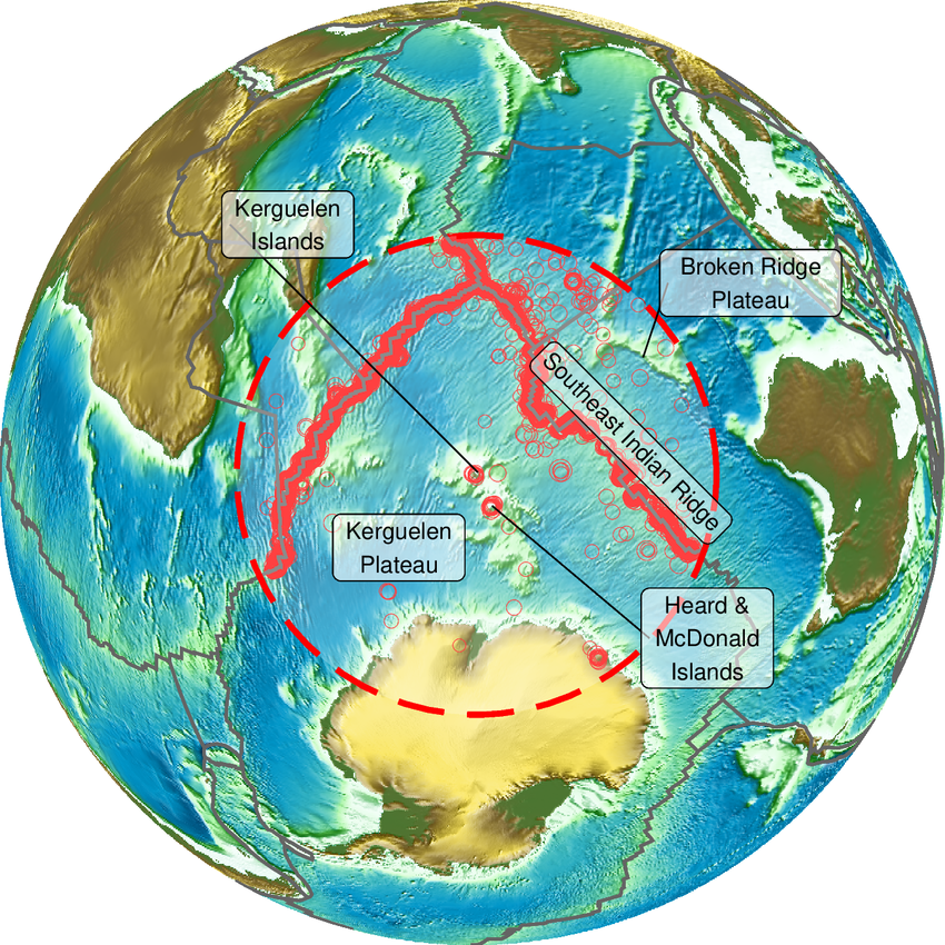
- Description:
- ~1.2 million km², volcanic plateau.
- Formation:
- Hotspot volcanism, tectonic.
- Significance:
- Marine biodiversity, research.
- Ontong Java Plateau (Pacific):
-
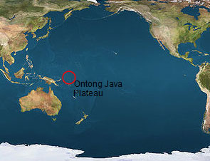
- Description:
- ~1.5 million km², submarine.
- Formation:
- Volcanic eruptions, Cretaceous.
- Significance:
- Carbon sink, geological study.
- Deserts
- No terrestrial deserts; oceanic deserts exist as low-productivity zones.
- South Pacific Gyre (Pacific):
-
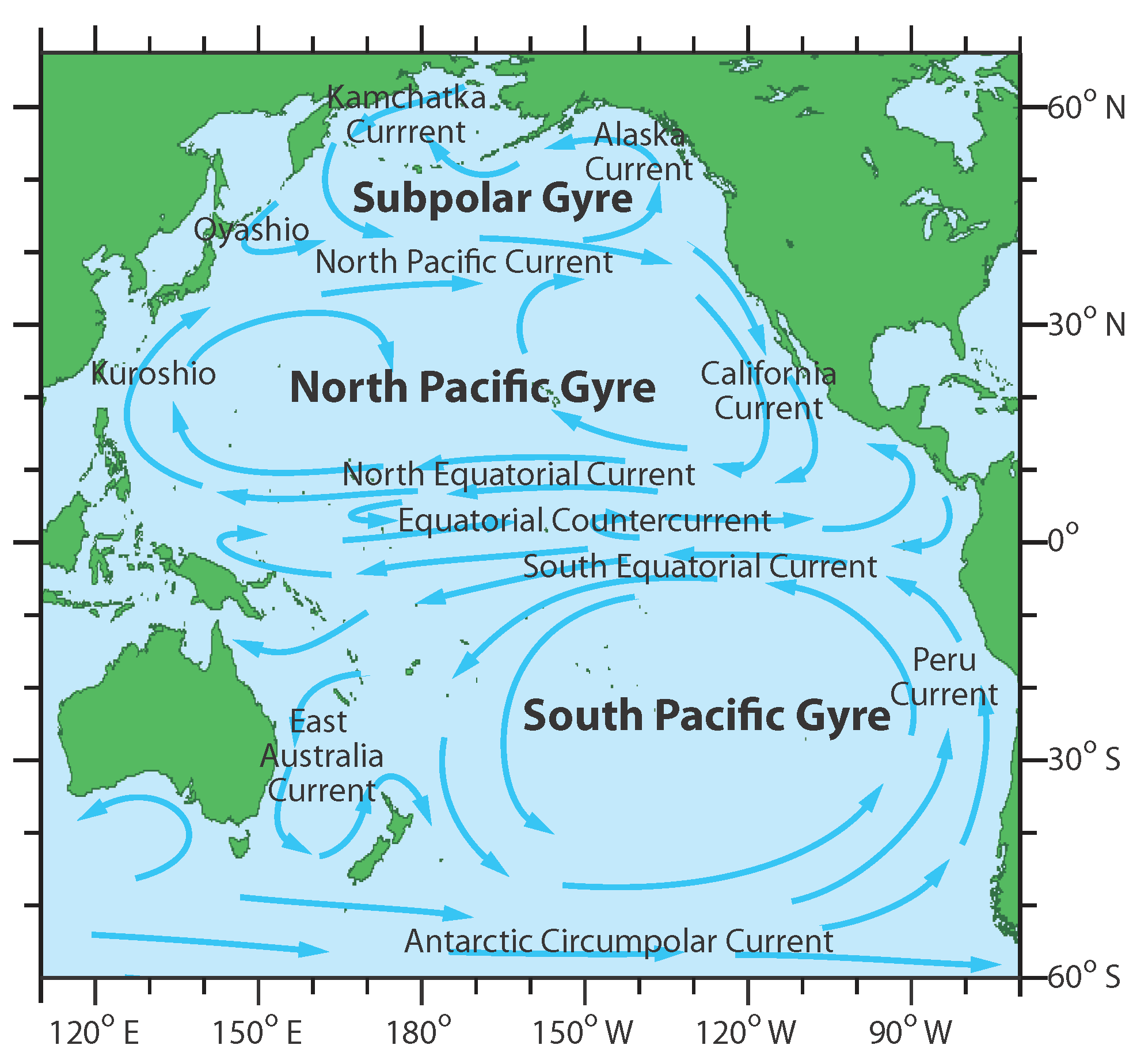
- Description:
- ~37 million km², nutrient-poor.
- Formation:
- Ocean circulation, low upwelling.
- Significance:
- Low biodiversity, plastic accumulation.
- Forests
- No terrestrial forests; marine equivalents exist.
- Kelp Forests (Pacific, Atlantic, Southern):
-
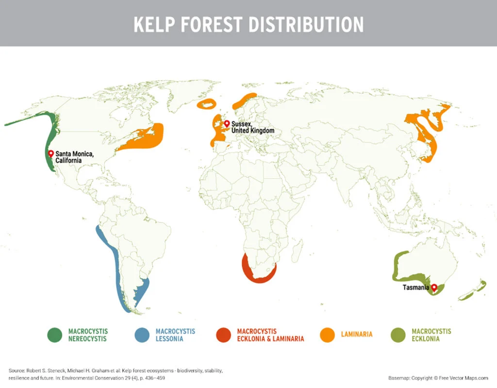
- Description:
- ~30,000 km², coastal ecosystems.
- Formation:
- Cold, nutrient-rich waters.
- Significance:
- Marine biodiversity, fisheries.
- Major Water Bodies
- Rivers
- No rivers in oceans; coastal rivers influence marine systems.
- Lakes
- No lakes in oceans; subglacial lakes noted in Arctic/Southern.
- Islands
- Hawaii
-
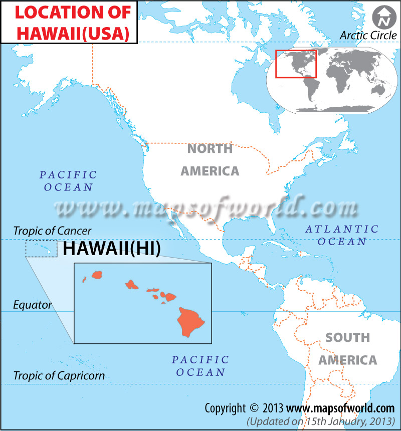
- Country:
- United States
- Description:
- ~28,311 km², volcanic archipelago.
- Formation:
- Hotspot volcanism, Pacific plate.
- Iceland
-
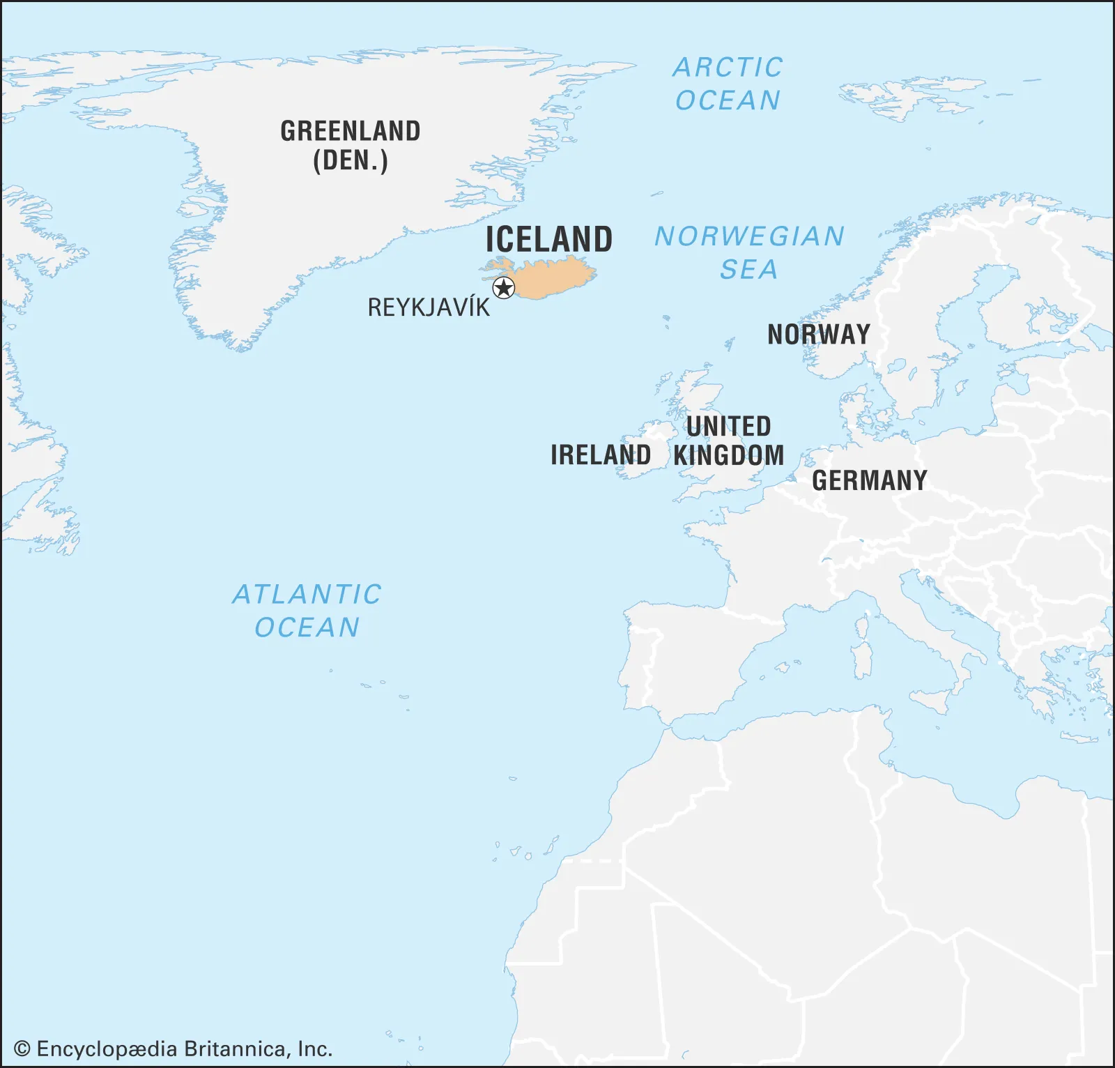
- Country:
- Iceland
- Description:
- ~103,000 km², volcanic.
- Formation:
- Mid-Atlantic Ridge, tectonic.
- Maldives
-
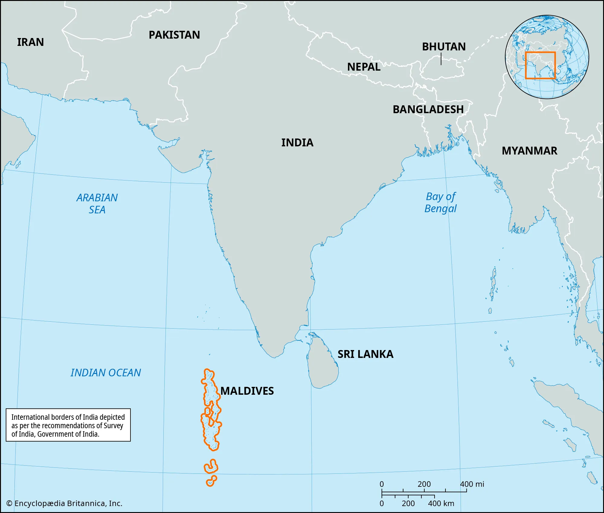
- Country:
- Maldives
- Description:
- ~298 km², coral atolls.
- Formation:
- Coral growth, submerged volcanoes.
- South Georgia
-
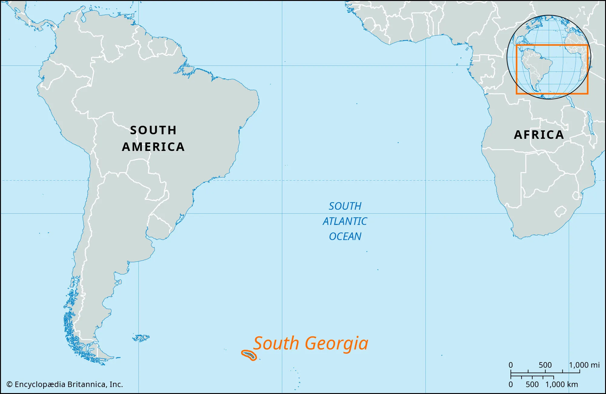
- Country:
- United Kingdom
- Description:
- ~3,903 km², sub-Antarctic.
- Formation:
- Tectonic uplift, glacial erosion.
- Svalbard
-
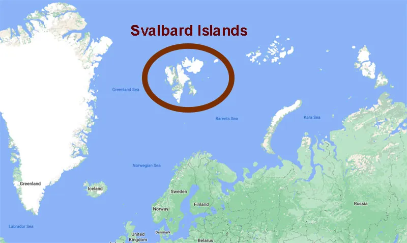
- Country:
- Norway
- Description:
- ~61,022 km², polar archipelago.
- Formation:
- Tectonic uplift, glacial carving.
- National Parks/Protected Areas
- Great Barrier Reef Marine Park (Pacific, Australia):
-
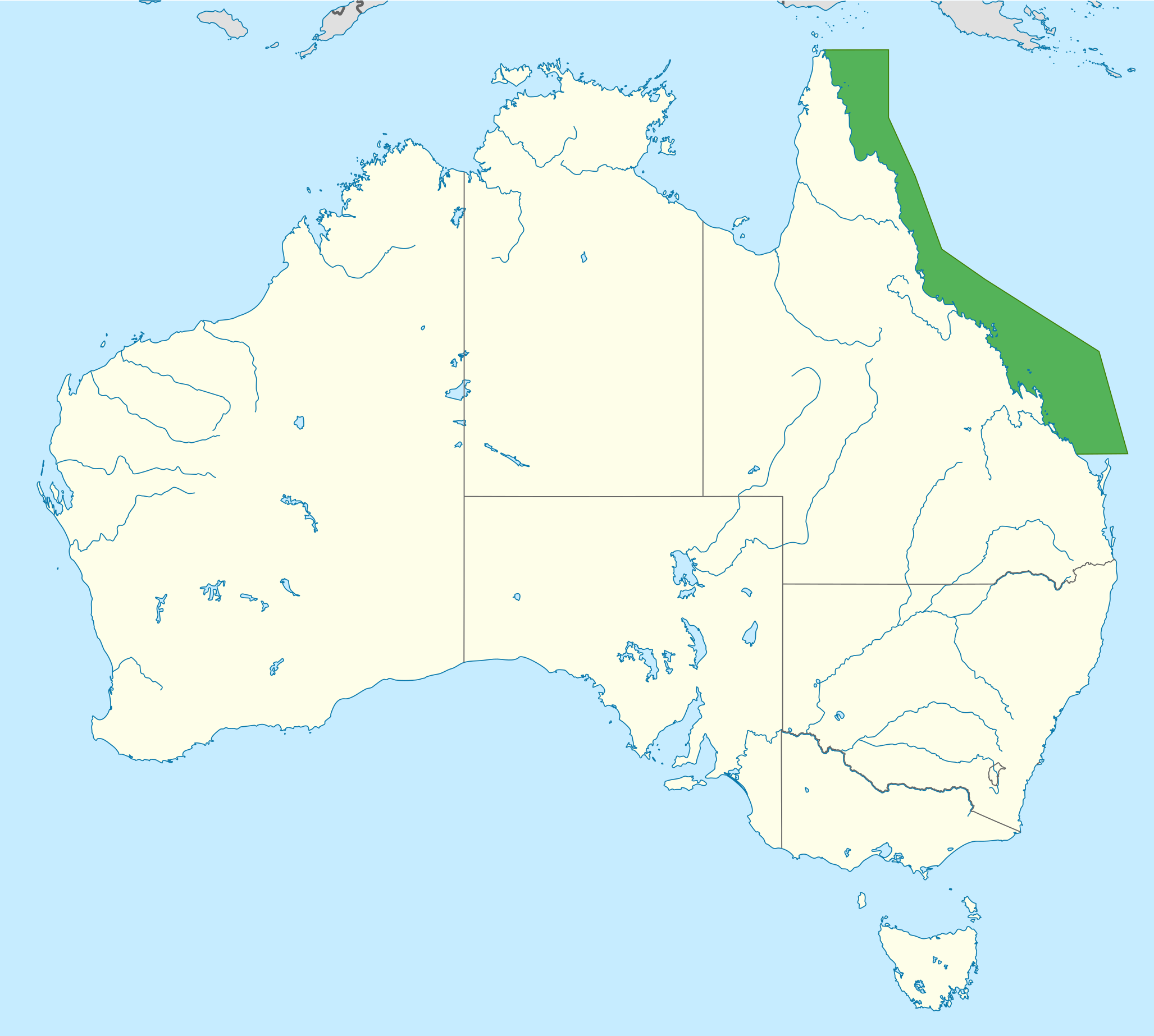
- Description:
- ~344,400 km², coral reef system.
- Significance:
- UNESCO site, marine biodiversity.
- Galápagos Marine Reserve (Pacific, Ecuador):
-
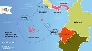
- Description:
- ~133,000 km², oceanic ecosystem.
- Significance:
- Endemic species, ecotourism.
- Wadden Sea (Atlantic, Netherlands, Germany, Denmark):
-
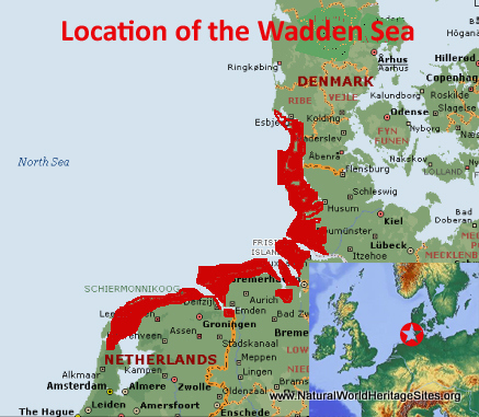
- Description:
- ~11,500 km², tidal flats.
- Significance:
- UNESCO site, migratory birds.
- Biodiversity Hotspots
- Coral Triangle (Pacific, Indian):
-
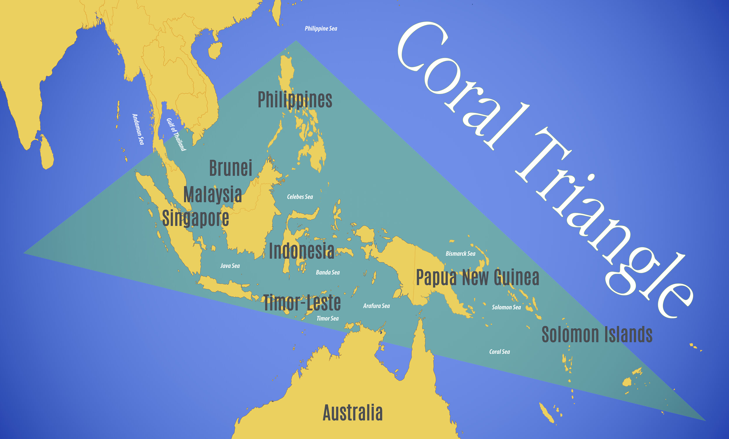
- Description:
- ~6 million km², marine ecosystems.
- Significance:
- Highest coral diversity, overfishing threat.
- Sargasso Sea (Atlantic):
-
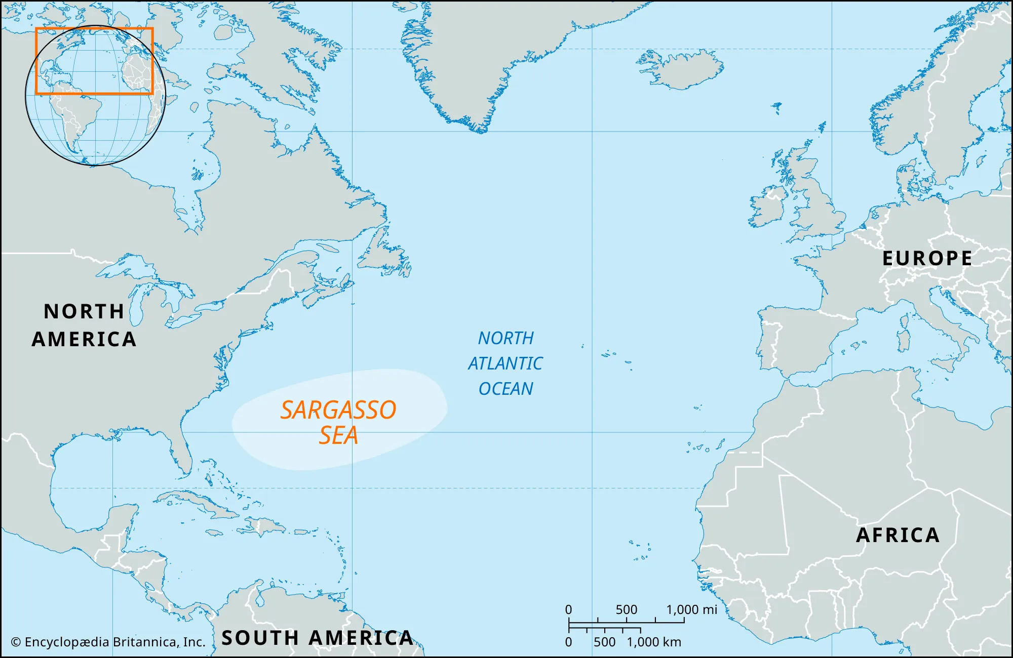
- Description:
- ~5 million km², floating seaweed.
- Significance:
- Eel breeding, plastic pollution.
- Southern Ocean Ecosystems (Southern):
-
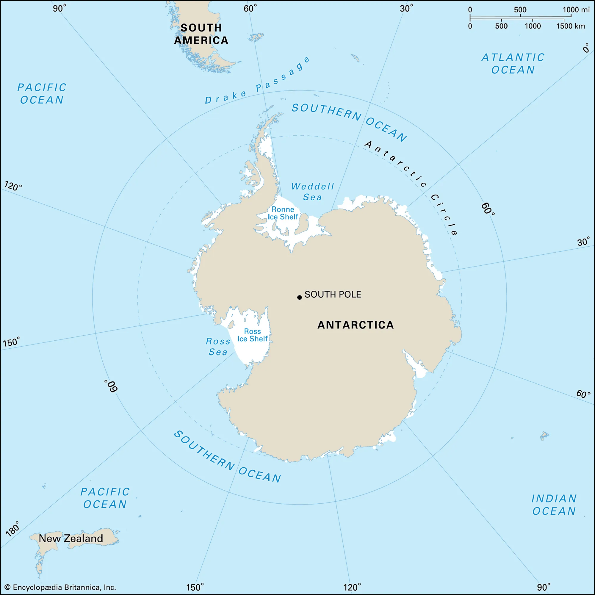
- Description:
- ~20 million km², polar marine.
- Significance:
- Krill, climate change impact.
- Human Impact
- Plastic Pollution (Pacific, Atlantic, Indian):
- Marine debris harms ecosystems, accumulates in gyres.
- Overfishing (All Oceans):
- Unsustainable fishing depletes stocks, disrupts food webs.
- Coral Bleaching (Pacific, Indian):
- Climate change and warming waters degrade reefs.
- Arctic Ice Melt (Arctic):
- Warming opens shipping routes, threatens polar habitats.
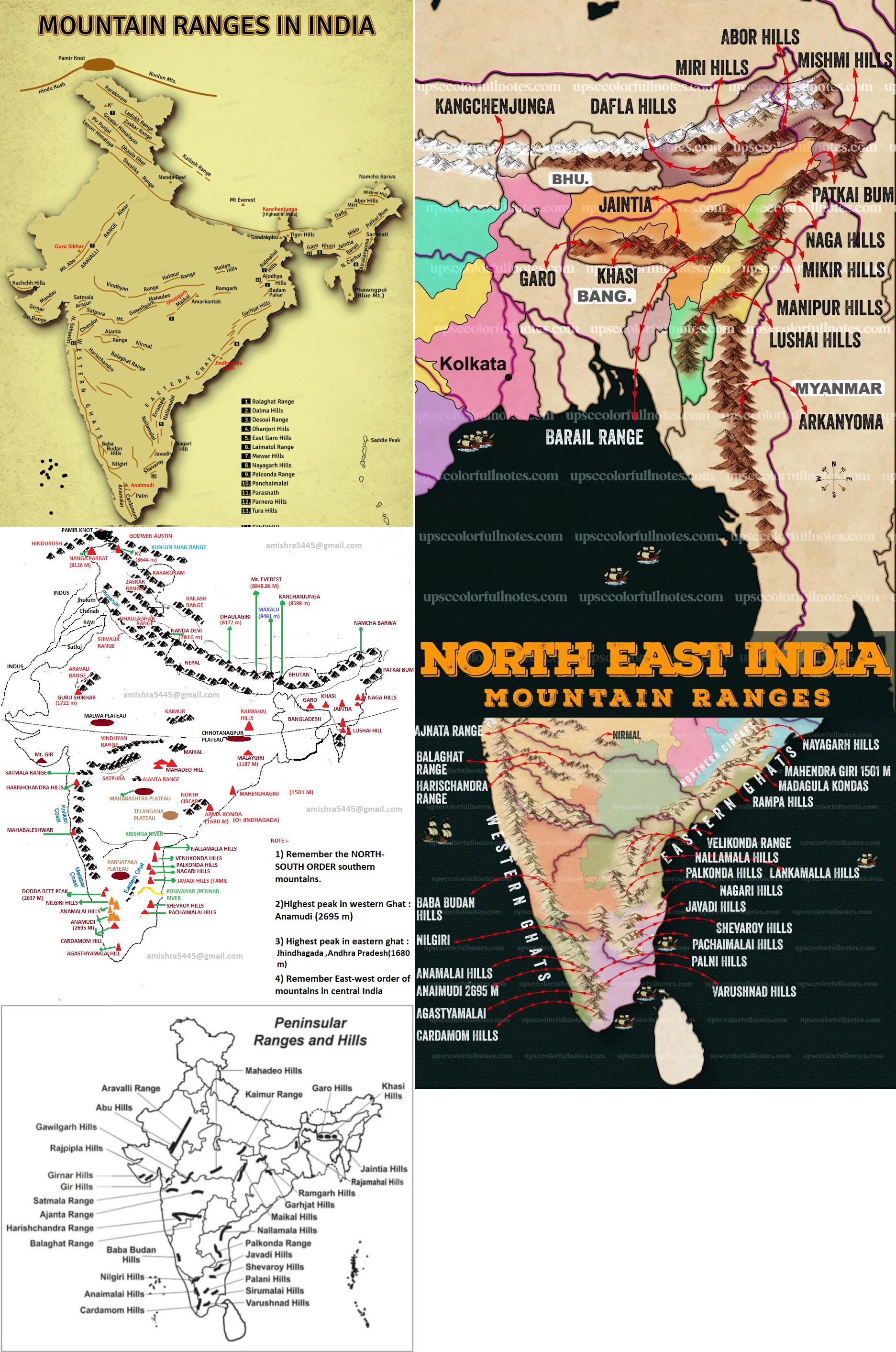 - India's important rivers and their tributaries
-
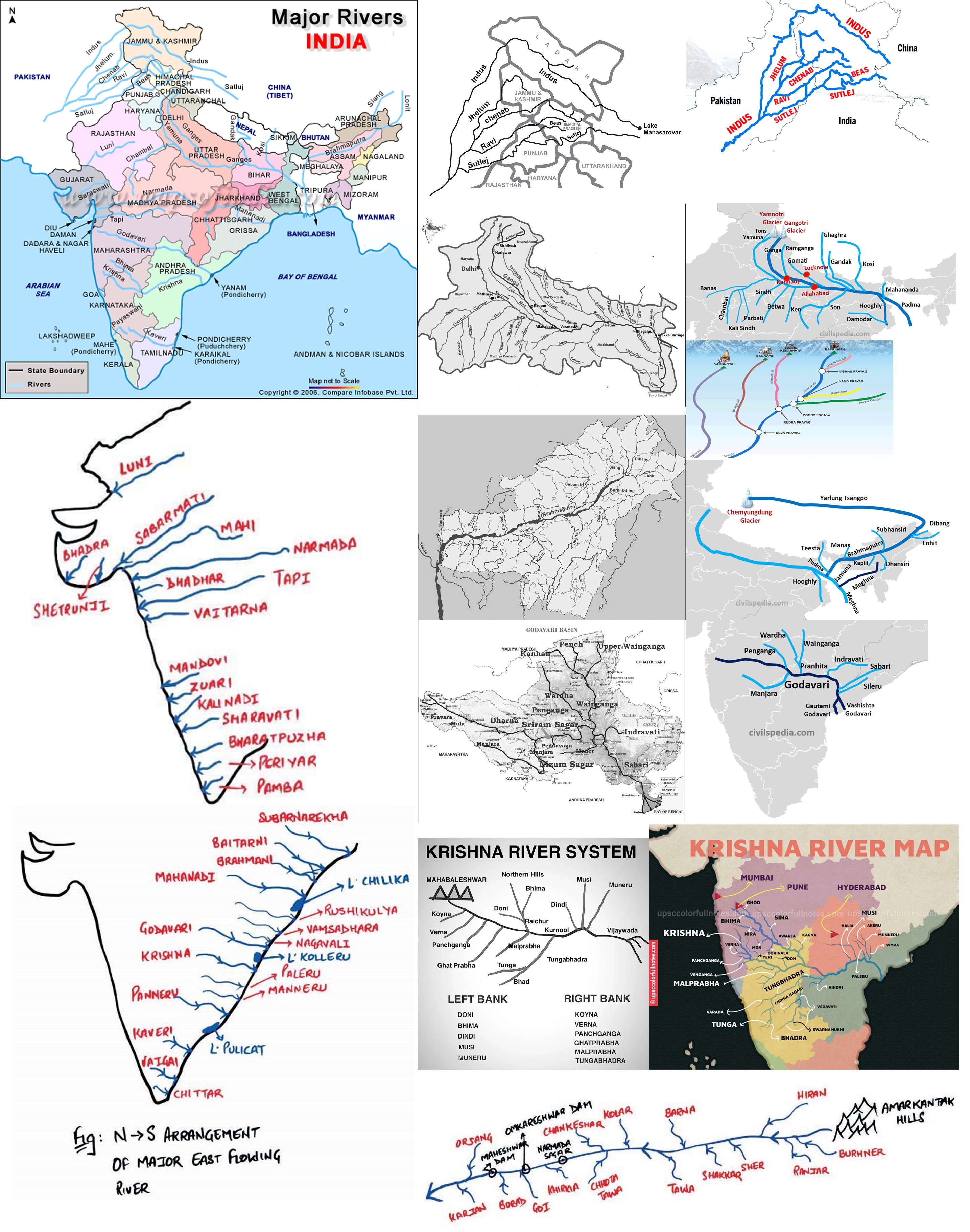 - India's important passes
-
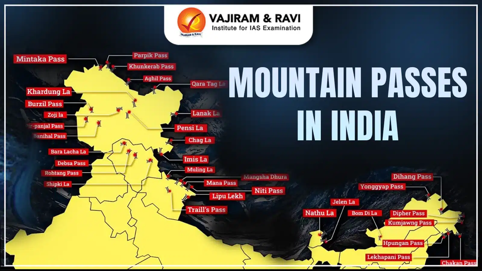 - India's important valleys
-
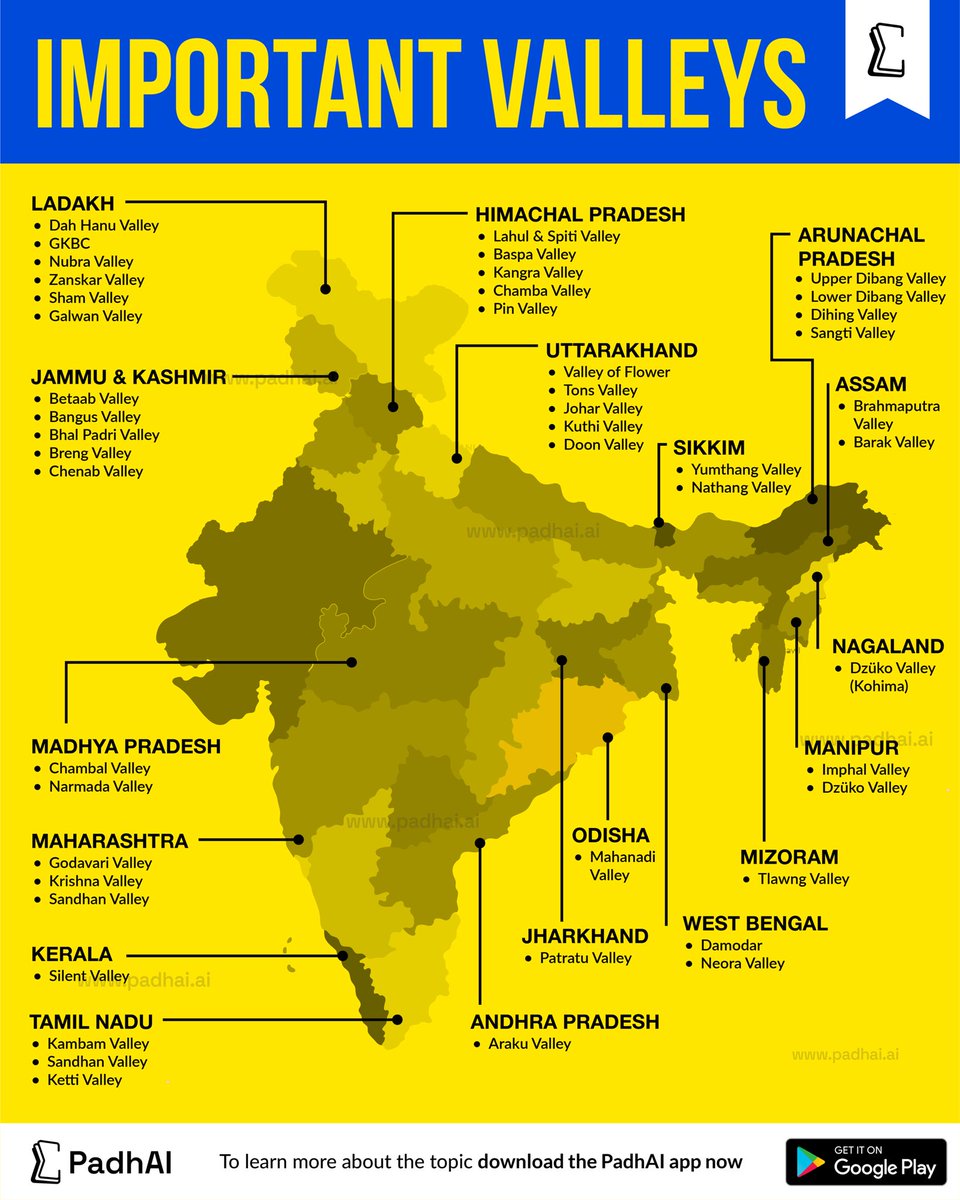 - India's important dams
-
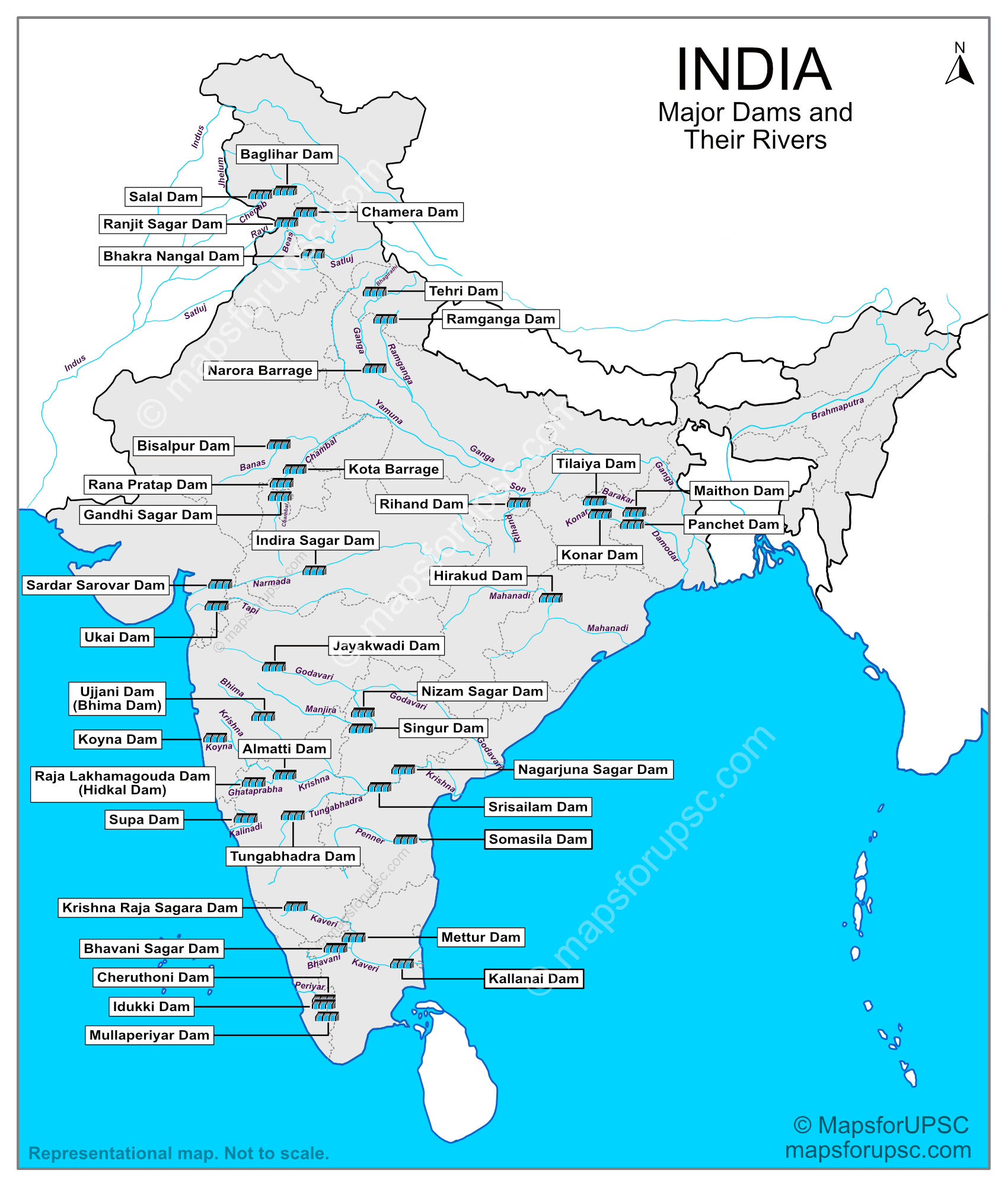 - India's important lakes
-
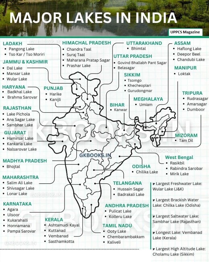 - India's important waterfalls
-
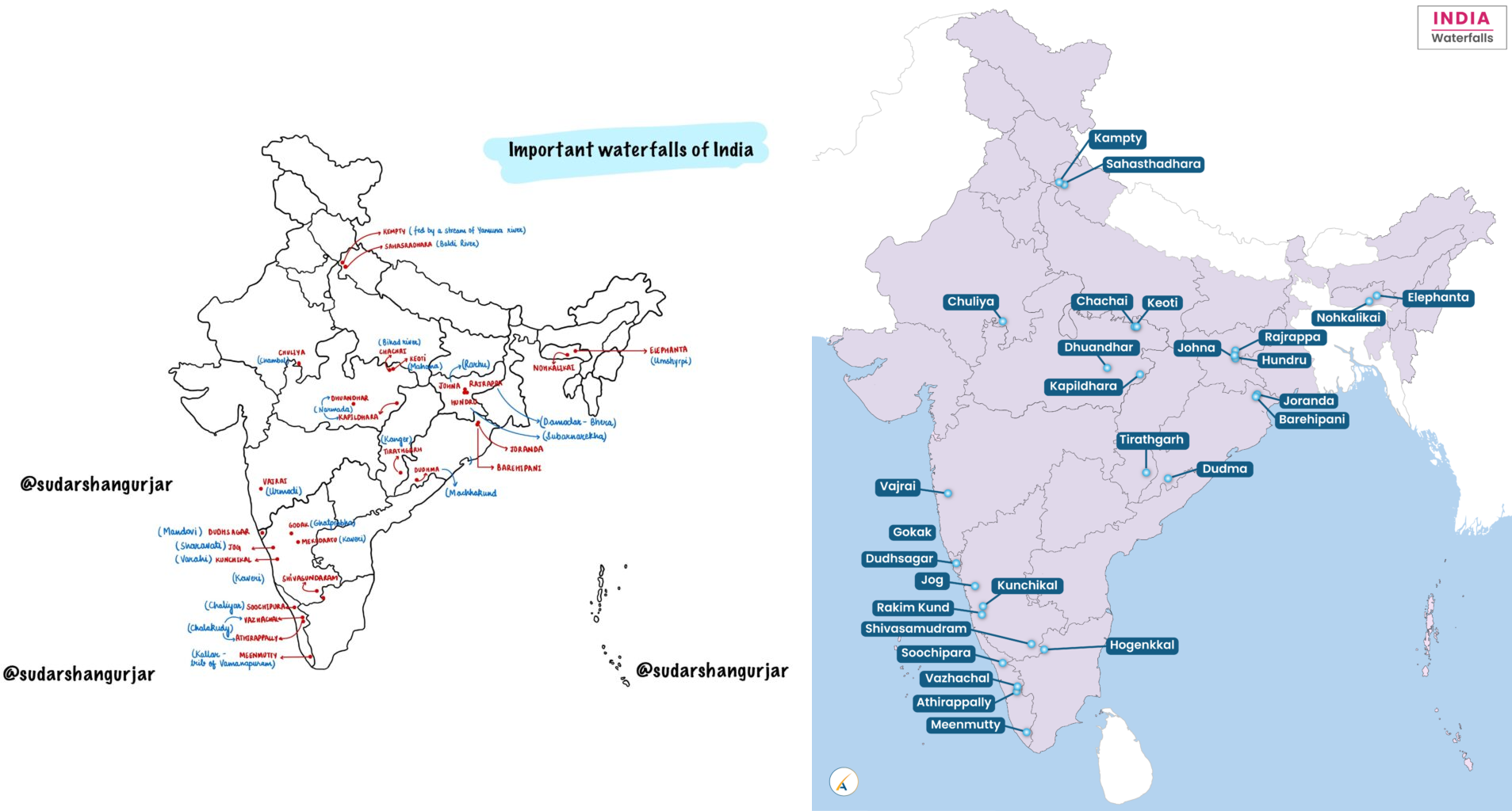 - India's important wildlife
-
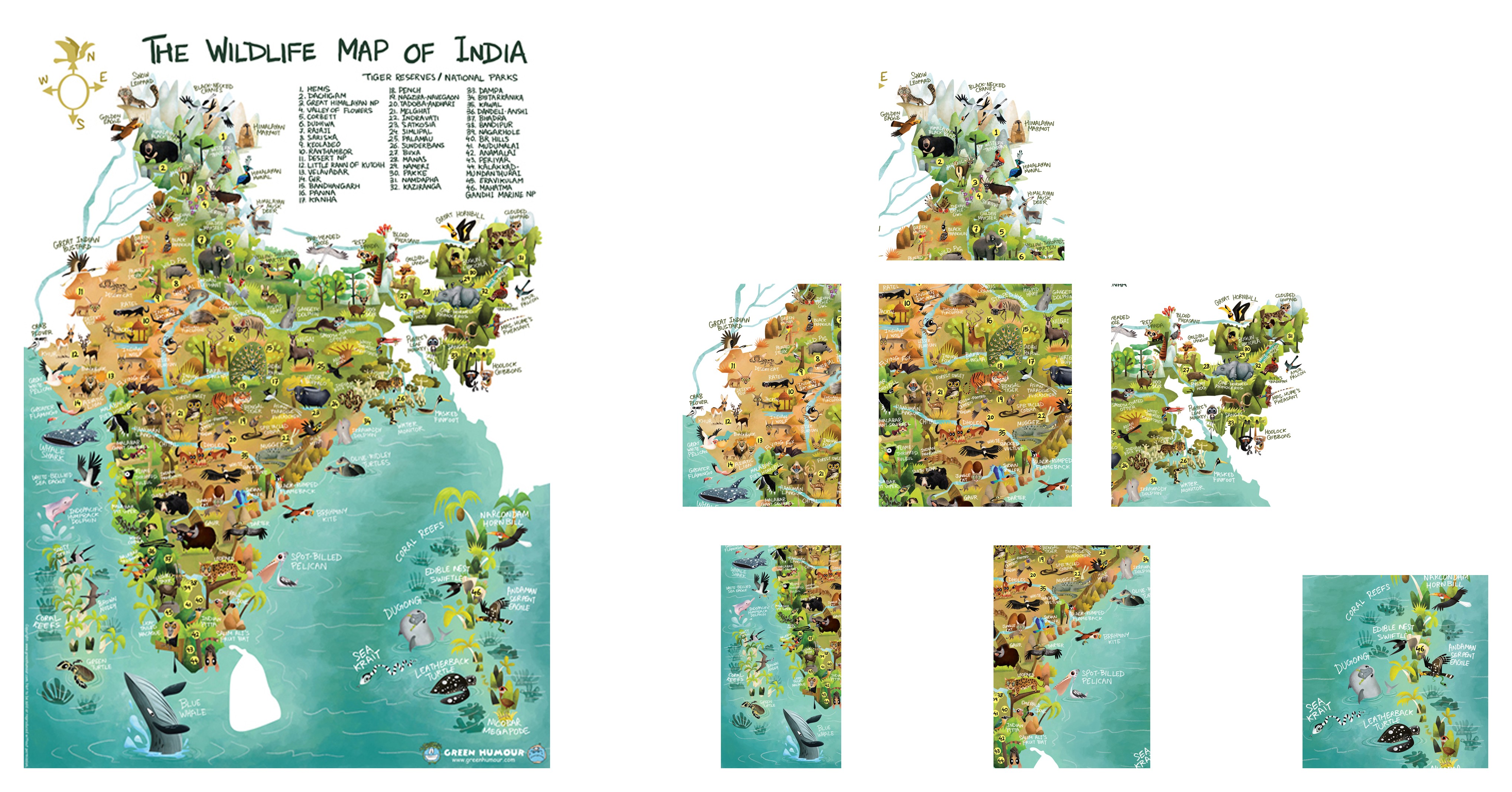 - India's important vegetation
- Use figma to indicate on map
- India's national parks
-
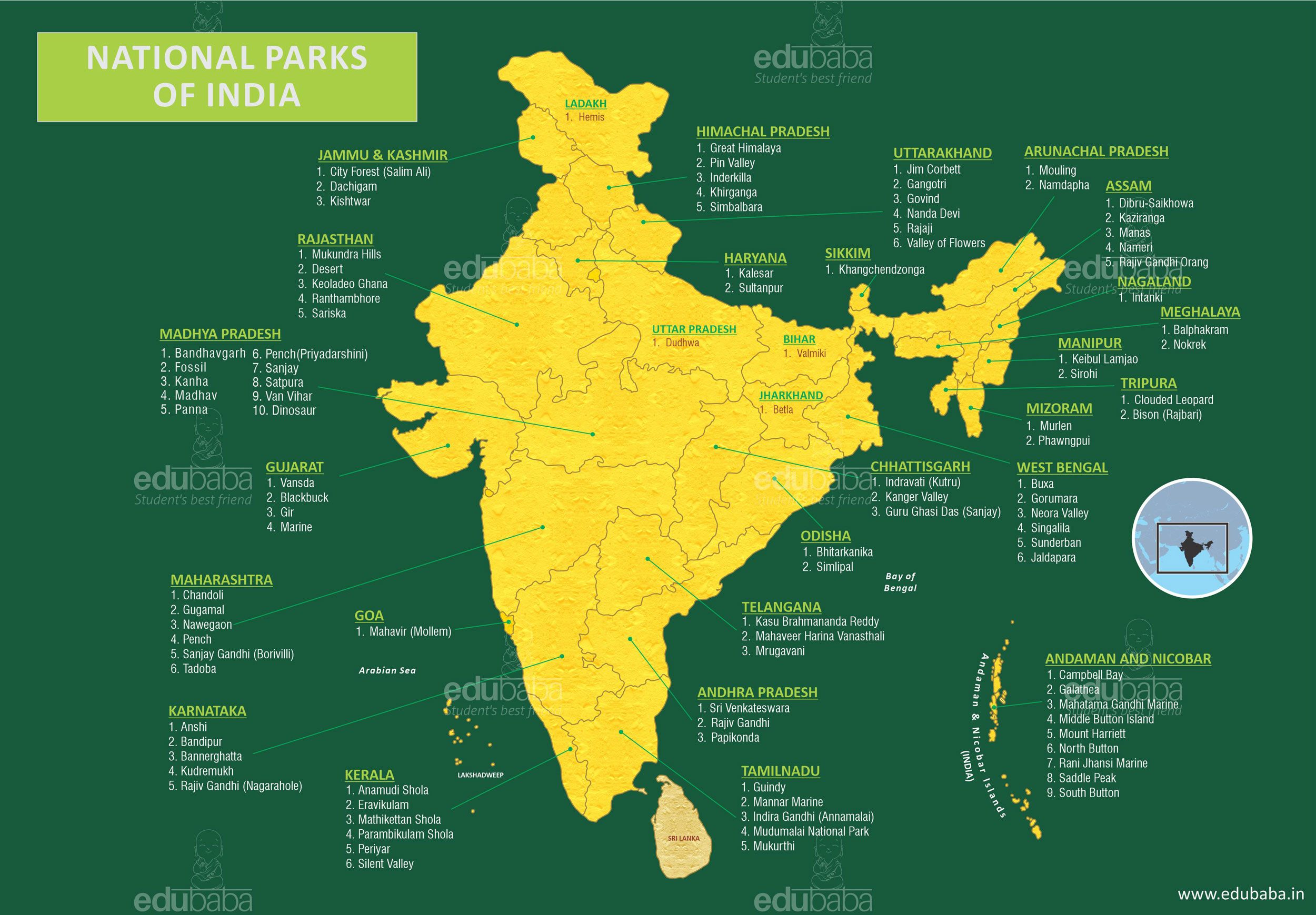 - India's biosphere reserves
-
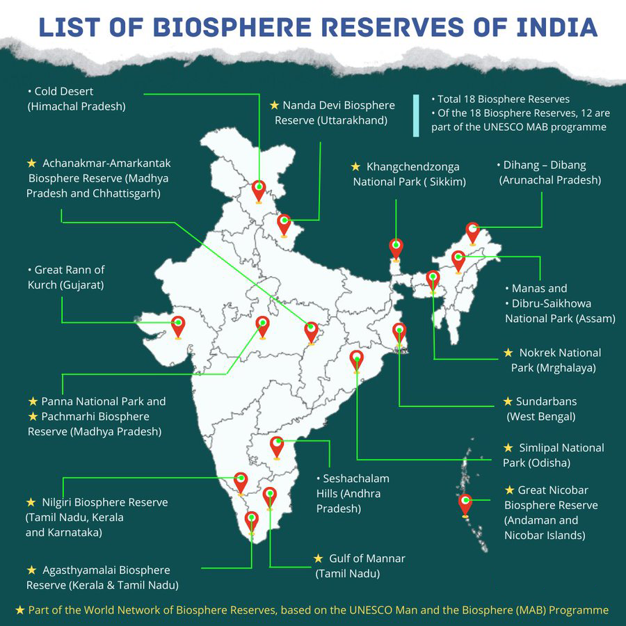 - India's ramsar wetlands
-
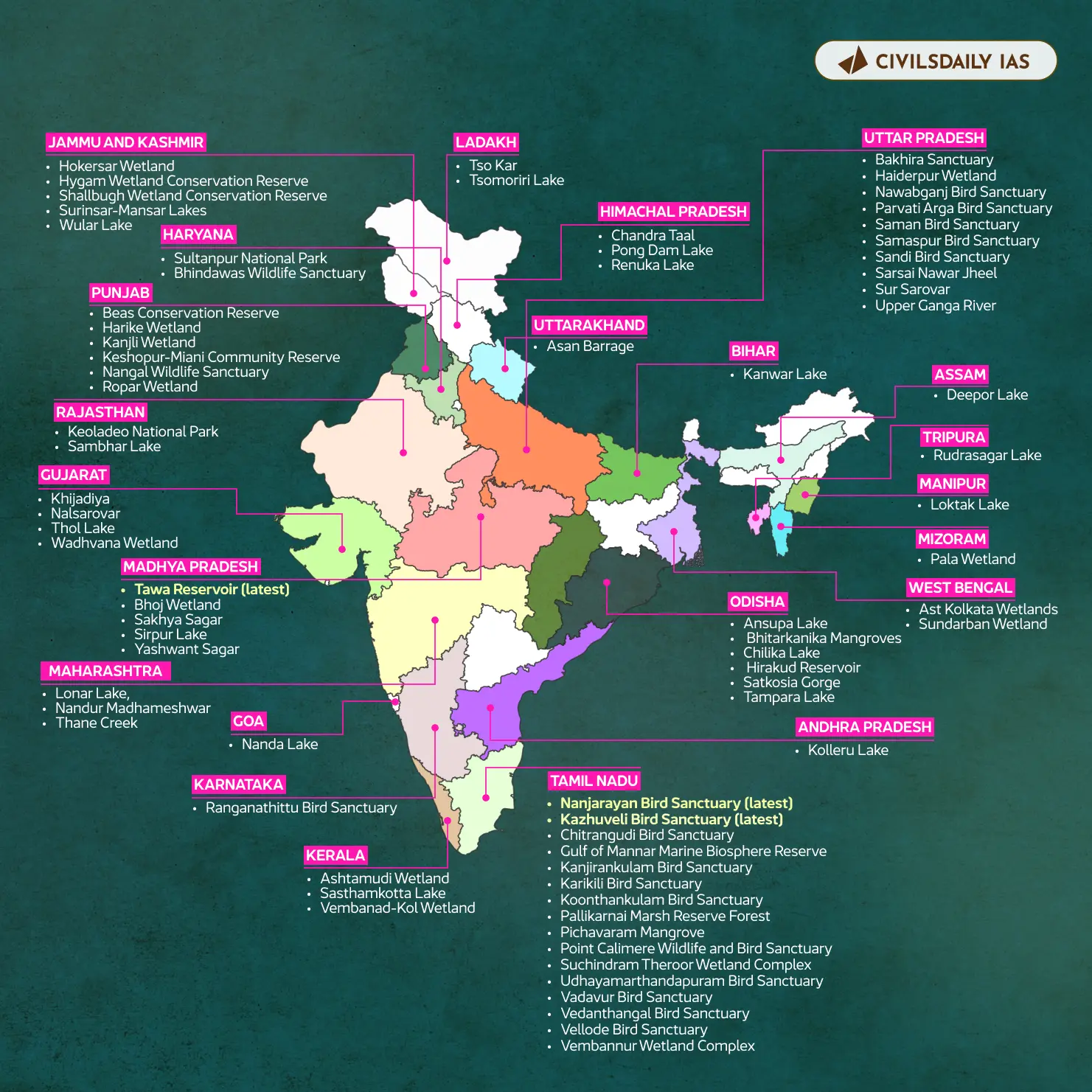 - India's mangroove sites
-
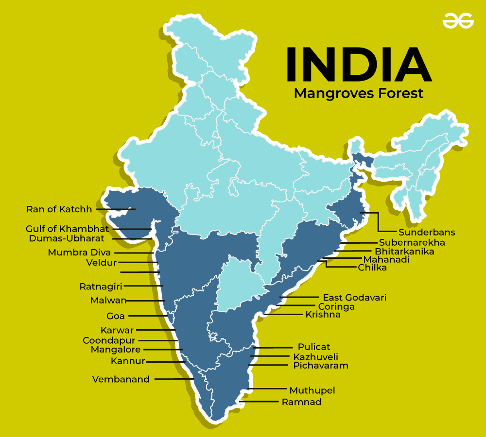 - Important cities of India
-
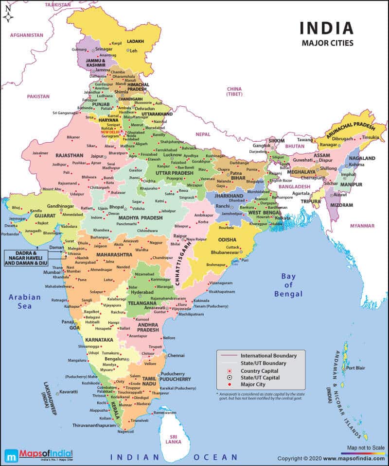 - India's important hydroelectric projects
-